Cinder Hill
Hill, Mountain in Yorkshire Scarborough
England
Cinder Hill

Cinder Hill is a prominent hill located in the county of Yorkshire, England. Situated in the North York Moors National Park, it is part of the larger Cleveland Hills range. Cinder Hill stands at an elevation of approximately 317 meters (1,040 feet) above sea level, making it a notable landmark in the surrounding area.
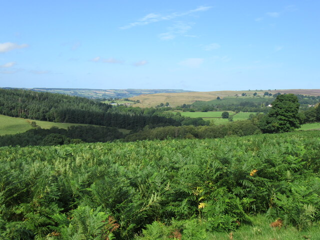
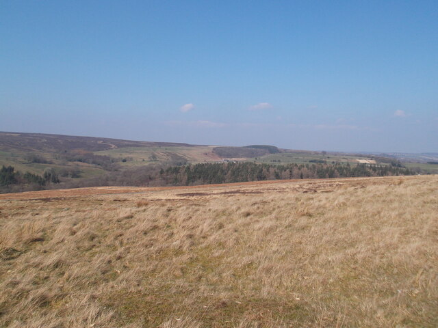
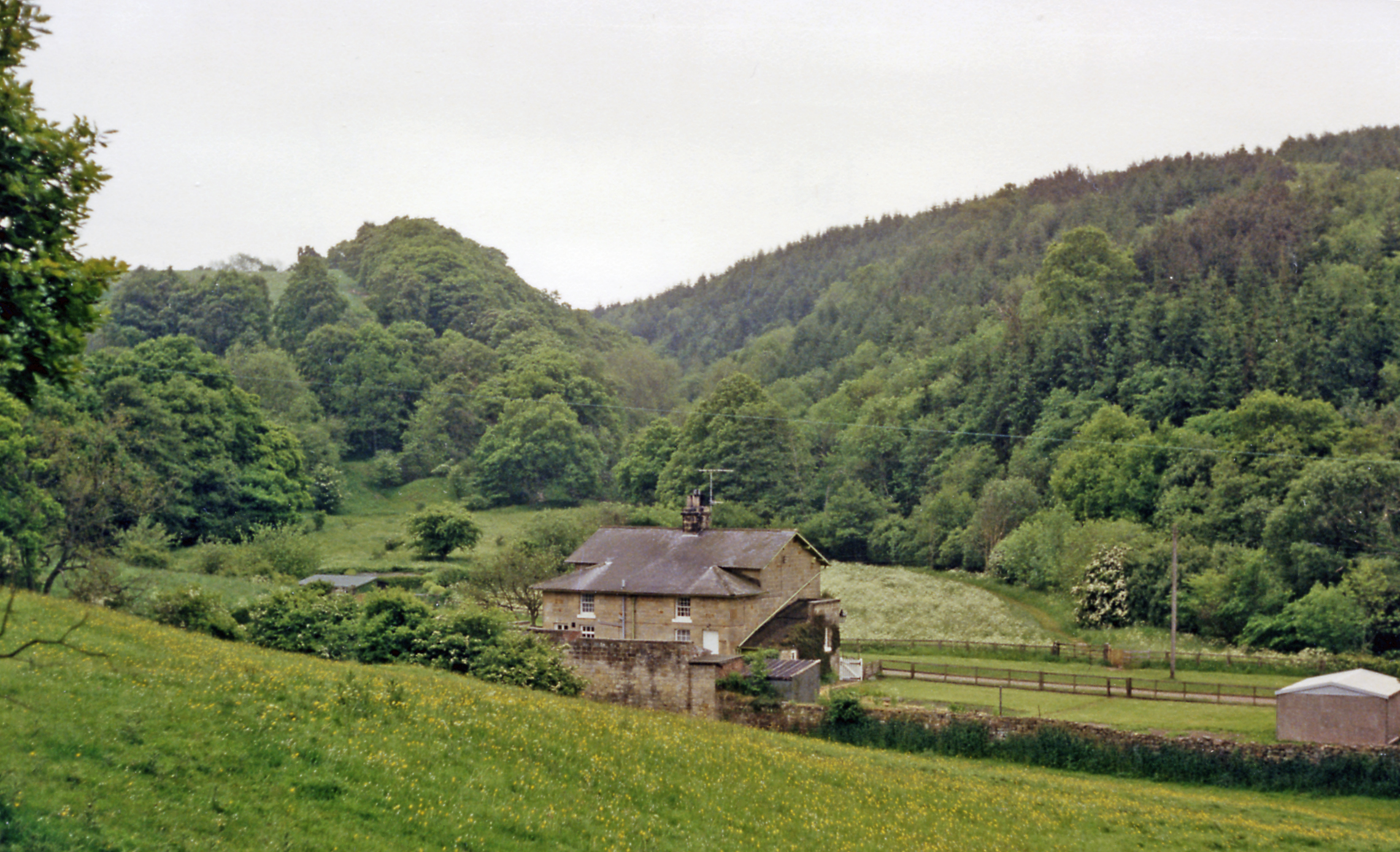
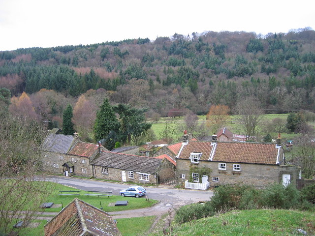
This hill is characterized by its rocky and rugged terrain, with scattered patches of heather and grasses covering the slopes. It offers breathtaking panoramic views of the picturesque countryside, including the nearby villages of Chop Gate and Swainby. On a clear day, one can see as far as the North Sea in the east and the Pennines in the west from the summit.
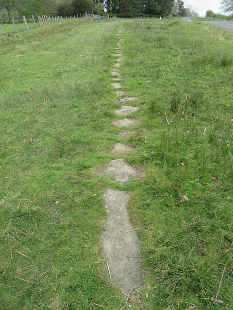
Popular among hikers and nature enthusiasts, Cinder Hill boasts a network of well-maintained footpaths and bridleways, allowing visitors to explore its scenic surroundings. The hill is also home to diverse flora and fauna, with species like bilberry, heather, and various bird species thriving in its habitat.
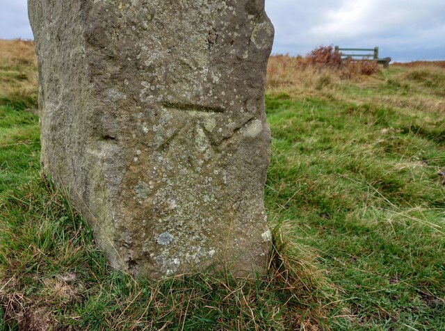
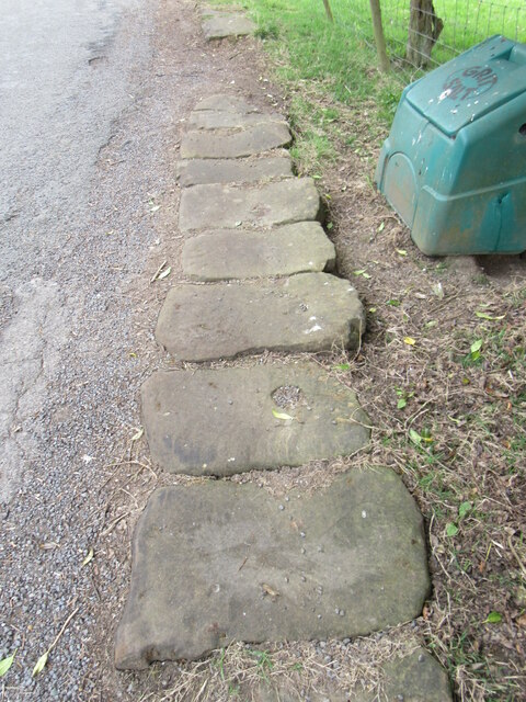
Historically, Cinder Hill was a site of ironstone mining during the 19th century, hence its name derived from the cinder-like waste produced during the extraction process. Today, the remnants of this industrial past can still be seen in the form of disused quarries and mine entrances scattered across the hill.
Overall, Cinder Hill offers a captivating outdoor experience for those seeking natural beauty, tranquility, and a glimpse into Yorkshire's rich history.
If you have any feedback on the listing, please let us know in the comments section below.
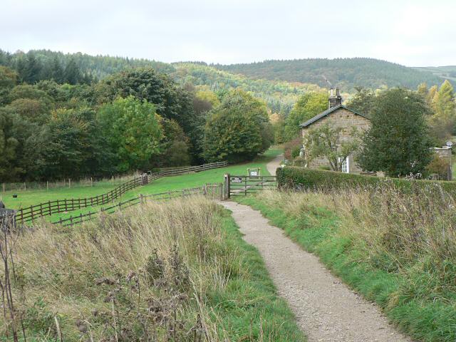
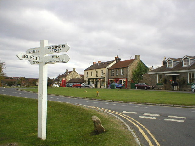
Cinder Hill Images
Images are sourced within 2km of 54.39877/-0.75448255 or Grid Reference NZ8001. Thanks to Geograph Open Source API. All images are credited.


Cinder Hill is located at Grid Ref: NZ8001 (Lat: 54.39877, Lng: -0.75448255)
Division: North Riding
Administrative County: North Yorkshire
District: Scarborough
Police Authority: North Yorkshire
What 3 Words
///tortoises.flinches.trackers. Near Sleights, North Yorkshire
Nearby Locations
Related Wikis

Mallyan Spout
Mallyan Spout is a waterfall in North Yorkshire, England, the tallest waterfall in the North York Moors. == Geography == The waterfall is located in the...
Beckhole railway station
Beckhole railway station was a railway station at Beck Hole in the North Yorkshire Moors on part of the original Whitby and Pickering Railway line. Although...

Birch Hall Inn
Birch Hall Inn is a public house founded around 1860 in Beck Hole in the North York Moors, England. It is designated as a Grade II listed building. It...

North York Moors
The North York Moors is an upland area in north-eastern Yorkshire, England. It contains one of the largest expanses of heather moorland in the United Kingdom...
Beck Hole
Beck Hole is a small valley village in the Borough of Scarborough, North Yorkshire, England. The village lies within the Goathland civil parish and the...
Beckhole Incline
Beckhole Incline was a steep, rope-worked gradient on the railway line between Whitby and Pickering, in the North Riding of Yorkshire, England. Opened...
Goathland
Goathland is a village and civil parish in the Scarborough district of North Yorkshire, England. Historically part of the North Riding of Yorkshire, it...

Goathland Bank Top railway station
Goathland Bank Top was a short lived, early, railway station in Goathland, North Yorkshire, England. The station at the top of the Beckhole Incline (sometimes...
Nearby Amenities
Located within 500m of 54.39877,-0.75448255Have you been to Cinder Hill?
Leave your review of Cinder Hill below (or comments, questions and feedback).