Benington

Civil Parish in Hertfordshire East Hertfordshire

England

Benington

Walkern Hall I have no idea what this grand looking Hall is used for now. This photo was taken from the adjoining square because Walkern Hall is so close to the edge.
Walkern Hall Credit: Robin Hall

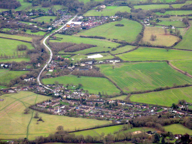
Benington is a civil parish located in the county of Hertfordshire, England. Situated approximately 35 miles north of London, it is part of the East Hertfordshire district. The parish covers an area of around 14 square kilometers and is bordered by the towns of Stevenage, Ware, and Hertford.

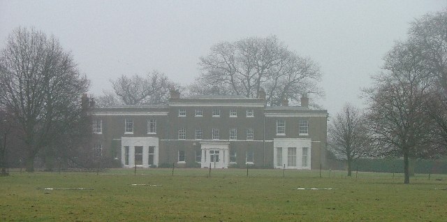
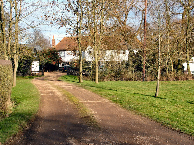
The village of Benington itself is a charming and picturesque settlement with a population of around 1,200 residents. It is renowned for its historic buildings, including the Grade I listed Benington Lordship, a manor house that dates back to the 15th century. The manor is surrounded by beautiful gardens and hosts various events throughout the year, such as the annual Benington Chilli Festival.

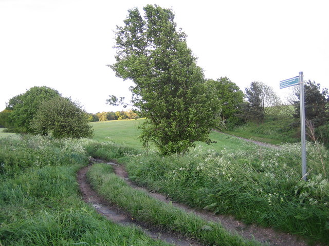
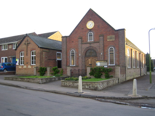
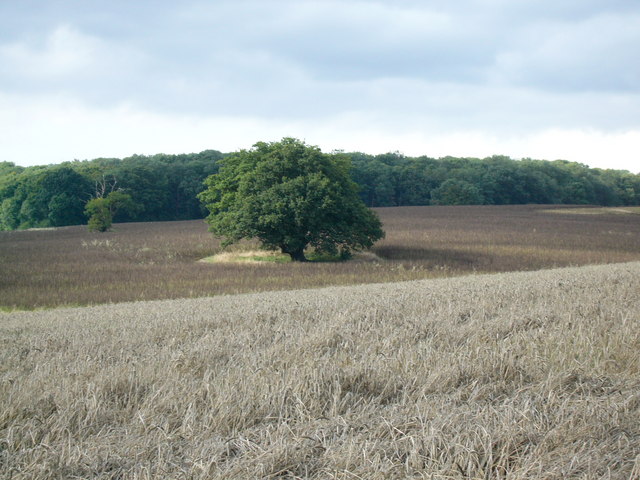
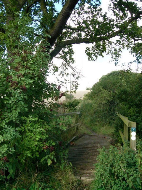
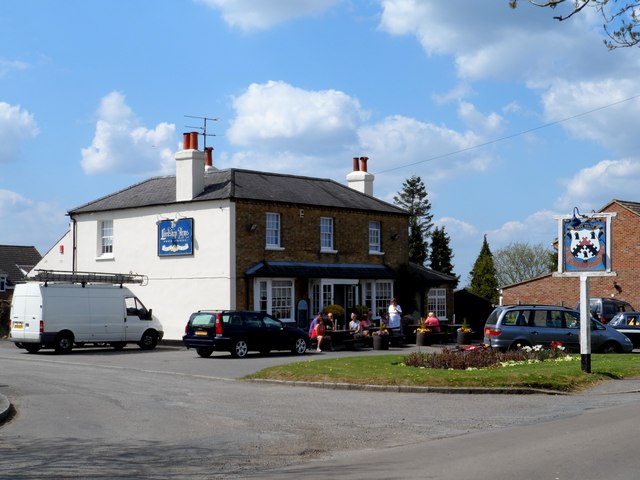
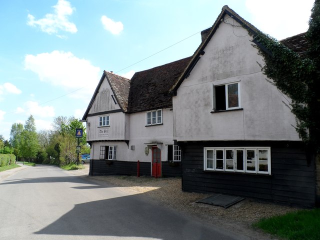
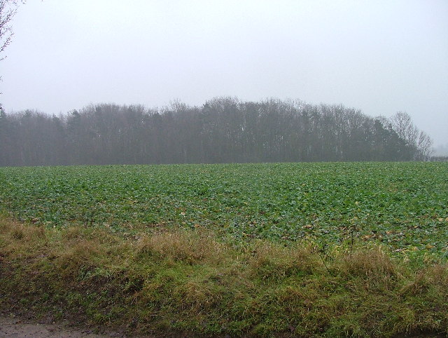
The village also boasts a primary school, St. Peter's Church, a village hall, and a local pub. The surrounding countryside is predominantly agricultural, with fields and farmland characterizing the landscape. The River Beane flows through the parish, providing pleasant walking routes and recreational opportunities.

Benington is well-connected by road, with the A602 passing through the village, providing easy access to nearby towns and cities. The nearest railway station is in Stevenage, which offers regular services to London and other major destinations.

Overall, Benington offers a tranquil and idyllic rural setting, with its rich history, natural beauty, and close proximity to urban centers making it an attractive place to live or visit.

If you have any feedback on the listing, please let us know in the comments section below.
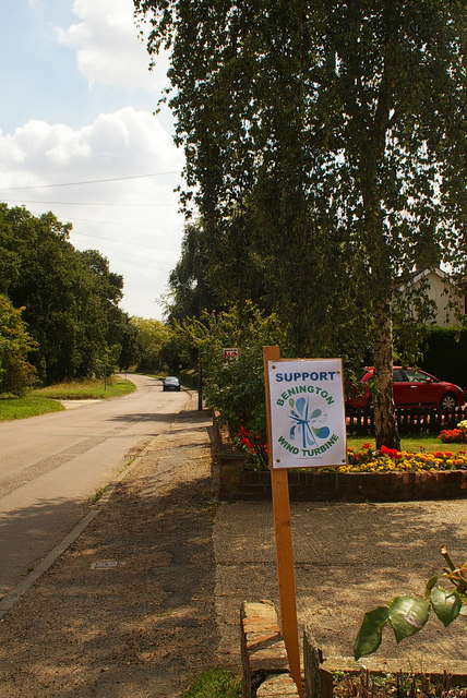
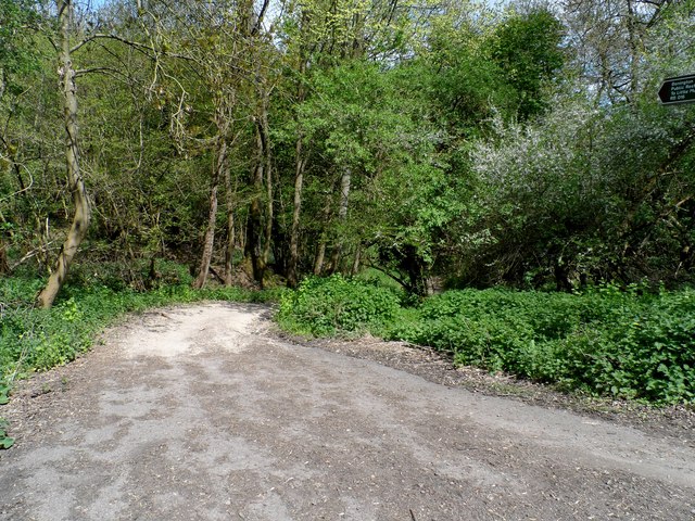
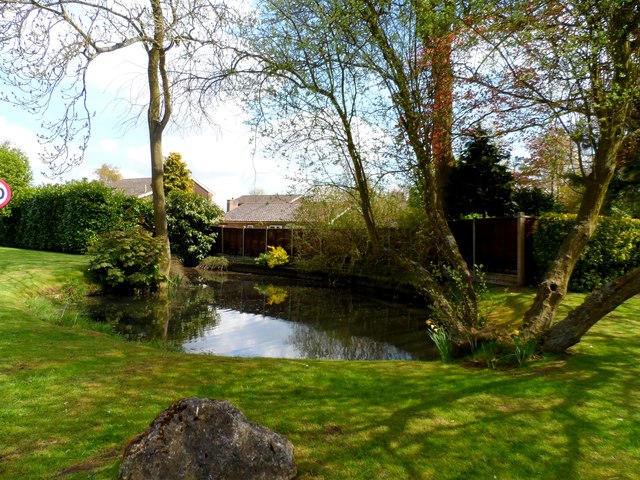
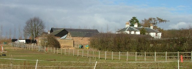
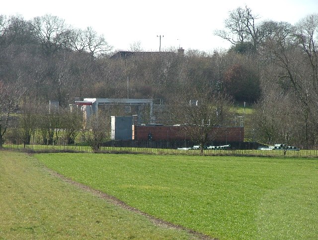
Benington Images

Images are sourced within 2km of 51.89049/-0.113927 or Grid Reference TL2923. Thanks to Geograph Open Source API. All images are credited.

Walkern Hall I have no idea what this grand looking Hall is used for now. This photo was taken from the adjoining square because Walkern Hall is so close to the edge.
Walkern Hall
I have no idea what this grand looking Hall is used for now. This photo was taken from the adjoining square because Walkern Hall is so close to the edge.
Benington: Road Used as a Public Path A Road Used as a Public Path (RUPP) leading from High Elms Lane to Burn's Green.
Benington: Road Used as a Public Path
A Road Used as a Public Path (RUPP) leading from High Elms Lane to Burn's Green.
Benington Methodist Church Built in 1862 and rebuilt in 1933, the church is on Whempstead Road in Burn's Green.
Benington Methodist Church
Built in 1862 and rebuilt in 1933, the church is on Whempstead Road in Burn's Green.
Benington: Town Lane Looking towards Burn's Green.
Benington: Town Lane
Looking towards Burn's Green.
Cutting Hill Farm
Cutting Hill Farm
Oak Tree Oak tree standing in the fields behind Benington Park. Photographed from the Chain Walk/bridleway starting at Hebing End
Oak Tree
Oak tree standing in the fields behind Benington Park. Photographed from the Chain Walk/bridleway starting at Hebing End
Footbridge over small stream A footbridge over a small stream on the Chain Walk/Bridleway which starts at Hebing End
Footbridge over small stream
A footbridge over a small stream on the Chain Walk/Bridleway which starts at Hebing End
Roadside placard, Benington, Hertfordshire (1) While the country struggles to supplement its energy needs by tentatively developing alternative sources, voices of protest in rural areas raised by those affected by these proposed  installations. The village of Benington in Hertfordshire currently has a numerous placards along the roadside like the one in the image. A justified campaign <span class="nowrap"><a title="http://www.stopbeningtonwindfarm.co.uk/" rel="nofollow ugc noopener" href="http://www.stopbeningtonwindfarm.co.uk/">Link</a><img style="margin-left:2px;" alt="External link" title="External link - shift click to open in new window" src="https://s1.geograph.org.uk/img/external.png" width="10" height="10"/></span> ? or mere nimbyism <span class="nowrap"><a title="http://en.wikipedia.org/wiki/NIMBY" rel="nofollow ugc noopener" href="http://en.wikipedia.org/wiki/NIMBY">Link</a><img style="margin-left:2px;" alt="External link" title="External link - shift click to open in new window" src="https://s1.geograph.org.uk/img/external.png" width="10" height="10"/></span> ?
Roadside placard, Benington, Hertfordshire (1)
While the country struggles to supplement its energy needs by tentatively developing alternative sources, voices of protest in rural areas raised by those affected by these proposed installations. The village of Benington in Hertfordshire currently has a numerous placards along the roadside like the one in the image. A justified campaign LinkExternal link ? or mere nimbyism LinkExternal link ?
Roadside placard, Benington, Hertfordshire (2) <a href="https://www.geograph.org.uk/photo/2533338">TL3023 : Roadside placard, Benington, Hertfordshire (1)</a> ... and here an apparently lone voice of support for the project!
Roadside placard, Benington, Hertfordshire (2)
TL3023 : Roadside placard, Benington, Hertfordshire (1) ... and here an apparently lone voice of support for the project!
Start of public restricted byway to Little Munden
Pond near to Burn's Green One of several small ponds marked on the O.S. map.
Pond near to Burn's Green
One of several small ponds marked on the O.S. map.
The Lordship Arms, Bennington
The Bell pub, Bennington
Benington and Burn's Green Two villages surrounded by farmland east of Stevenage. Burn's Green is the more distant.
Benington and Burn's Green
Two villages surrounded by farmland east of Stevenage. Burn's Green is the more distant.
Baron's Grove. This photo taken from the bridleway.  The trees look as though they are shrouded in mist because they are.
Baron's Grove.
This photo taken from the bridleway. The trees look as though they are shrouded in mist because they are.
Pumping station on River Beane. For some reason this trickle known as the River (river?) Beane has a cluster of pumping stations near this spot.  The neighbour is Whitehall Pumping Station Number 1.  So this must be number 2 then.
Pumping station on River Beane.
For some reason this trickle known as the River (river?) Beane has a cluster of pumping stations near this spot. The neighbour is Whitehall Pumping Station Number 1. So this must be number 2 then.
White Hall Farm Taken on a lovely sunny day.  Other days are also available.
White Hall Farm
Taken on a lovely sunny day. Other days are also available.
Pumping house near White Hall Farm. It really must get very wet down this stretch of the Beane.  This is one of four pumping stations within a few hundred yards of each other.
Pumping house near White Hall Farm.
It really must get very wet down this stretch of the Beane. This is one of four pumping stations within a few hundred yards of each other.
Show me another place!

Benington is located at Grid Ref: TL2923 (Lat: 51.89049, Lng: -0.113927)

Administrative County: Hertfordshire

District: East Hertfordshire

Police Authority: Hertfordshire

What 3 Words

///feel.regulates.resold. Near Watton at Stone, Hertfordshire

Related Wikis

Benington, Hertfordshire

Benington is a village and civil parish in the East Hertfordshire district of Hertfordshire, England, about four miles east of Stevenage and 35 miles north...

Benington Castle

Benington Castle is a ruined castle in the village of Benington, near Stevenage in Hertfordshire, England at grid reference TL296236. It has been protected...

Benington High Wood

Benington High Wood is a 20.7-hectare (51-acre) biological Site of Special Scientific Interest in Benington, Hertfordshire. The planning authority is East...

Aston, Hertfordshire

Aston is a village and civil parish in the East Hertfordshire district of Hertfordshire, England. According to the 2001 census it had a population of...

Aston Bury

Aston Bury is a manor house near Aston, Hertfordshire, England. It is Grade I listed building.It was built in the mid 17th century, possibly by the Boteler...

Aston End

Aston End is a hamlet in Hertfordshire, England. It is in the civil parish of Aston. It features a pub and a butchers, as well as a few houses. == References... ==

A602 road

The A602 is a road linking Hitchin in Hertfordshire, England, with A10 at Ware in Hertfordshire, via Stevenage. The course of the road has changed significantly...

Whempstead

Whempstead is a hamlet in the parish of Watton-at-Stone, situated north of Hertford and to the south-east of Stevenage in Hertfordshire, it is close to...

Nearby Amenities

Located within 500m of 51.89049,-0.113927
Barrier: kissing_gate
Foot: yes
Lat/Long: 51.8920522/-0.1172754
Barrier: kissing_gate
Foot: yes
Lat/Long: 51.8927101/-0.1190879
Power: pole
Lat/Long: 51.8883489/-0.1193596
Power: pole
Lat/Long: 51.8894828/-0.1087219
Power: pole
Lat/Long: 51.8895705/-0.1103447
Power: pole
Lat/Long: 51.8889175/-0.1182143
Power: pole
Lat/Long: 51.8901599/-0.1148669
Power: pole
Lat/Long: 51.8892188/-0.1173895
Power: pole
Lat/Long: 51.8903155/-0.113802
Power: pole
Lat/Long: 51.8893843/-0.1071877
Power: pole
Lat/Long: 51.8896922/-0.1161557
Power: pole
Lat/Long: 51.8924392/-0.1080017
Power: pole
Lat/Long: 51.8913815/-0.1074572
Power: pole
Lat/Long: 51.8904015/-0.10691
The data included in this document is from www.openstreetmap.org. The data is made available under ODbL.

Have you been to Benington?

Leave your review of Benington below (or comments, questions and feedback).