Benington

Civil Parish in Lincolnshire Boston

England

Benington

Lane leading to north carpark, Freiston Shore Access to the north carpark of the Freiston Shore managed realignment site, including public footpath access. This photo was taken on the Victorian sea wall, and shows the 1970s wall in the distance.
Lane leading to north carpark, Freiston Shore Credit: Dan Friess

Benington is a civil parish located in the county of Lincolnshire, in the East Midlands of England. Situated approximately 9 miles east of the town of Boston, the parish covers an area of around 7 square miles.

The village of Benington itself is small and picturesque, with a population of around 600 residents. It is known for its charming rural setting, surrounded by beautiful countryside and farmland. The parish is primarily agricultural, with farming being a significant part of the local economy.

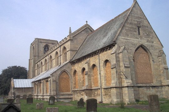
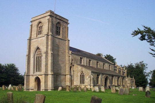
One of the notable landmarks in Benington is the St. Peter and St. Paul Church, a Grade I listed building dating back to the 12th century. The church features impressive architectural details such as a Norman tower and a 14th-century chancel. It serves as a focal point for the community and holds regular services and events.

In addition to the church, Benington also has a primary school, providing education for children in the area. The village also boasts a village hall, which hosts various community activities and events.

Residents and visitors to Benington can enjoy the peaceful surroundings, taking advantage of the numerous walking trails and nature reserves nearby. The area is also known for its rich wildlife, including a variety of bird species.

Overall, Benington offers a tranquil and close-knit community, perfect for those seeking a quieter and rural lifestyle.

If you have any feedback on the listing, please let us know in the comments section below.
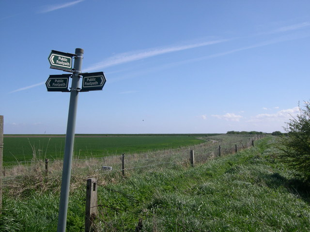
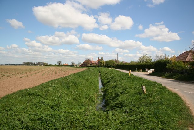
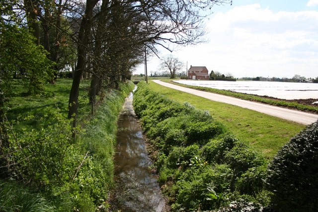
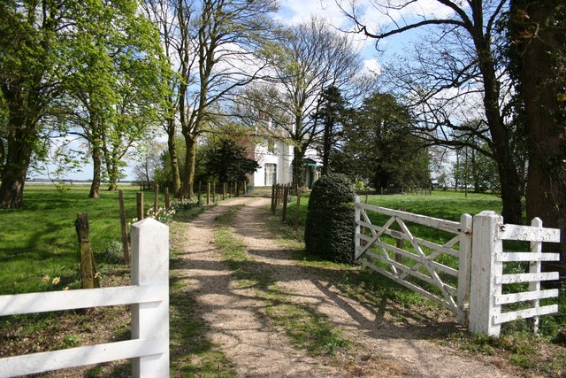
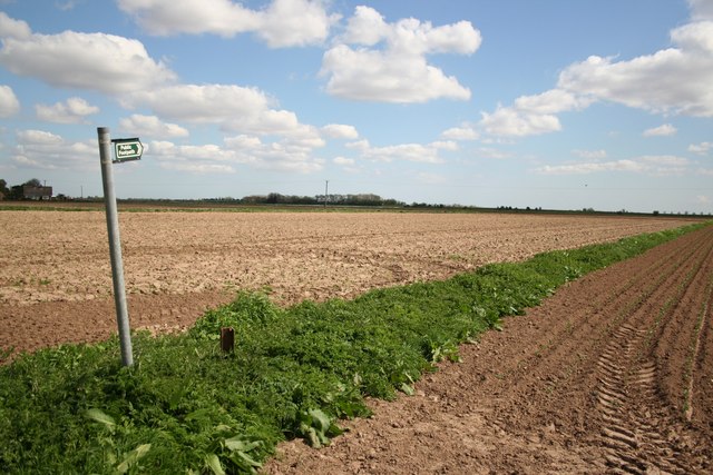
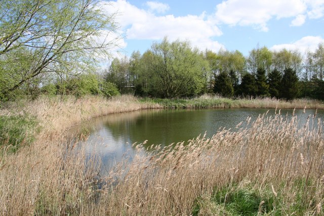
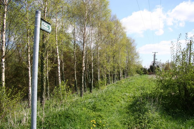
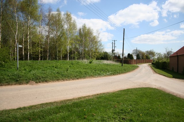
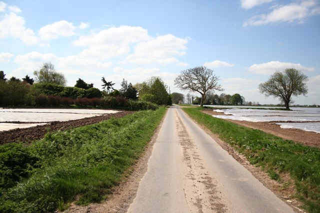
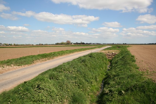
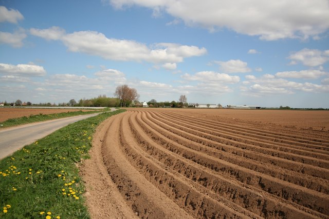
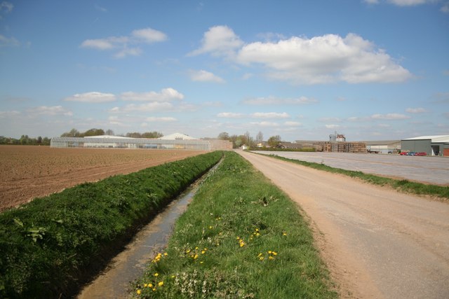
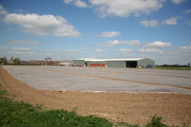
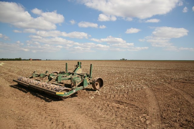
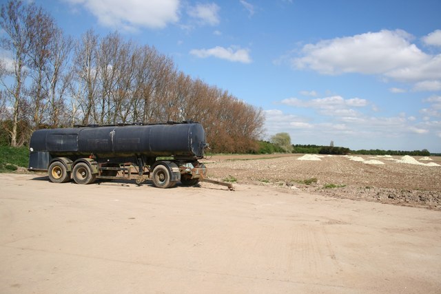
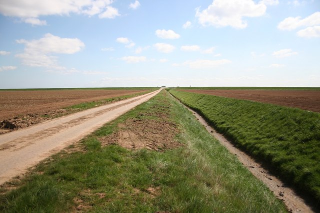
Benington Images

Images are sourced within 2km of 52.990832/0.104395 or Grid Reference TF4145. Thanks to Geograph Open Source API. All images are credited.

Lane leading to north carpark, Freiston Shore Access to the north carpark of the Freiston Shore managed realignment site, including public footpath access. This photo was taken on the Victorian sea wall, and shows the 1970s wall in the distance.
Lane leading to north carpark, Freiston Shore
Access to the north carpark of the Freiston Shore managed realignment site, including public footpath access. This photo was taken on the Victorian sea wall, and shows the 1970s wall in the distance.
Benington Sea End Looking north from the junction with Crowhall Lane
Benington Sea End
Looking north from the junction with Crowhall Lane
Churchway Churchway and dyke by the Old Rectory at Benington Sea End
Churchway
Churchway and dyke by the Old Rectory at Benington Sea End
The Old Rectory At Benington Sea End
The Old Rectory
At Benington Sea End
Footpath at Benington Sea End
Glebe Farm pond Tranquil farm pond at Benington Sea End
Glebe Farm pond
Tranquil farm pond at Benington Sea End
Sea Bank footpath Footpath along the medieval Sea Bank flood defences from Grange Farm
Sea Bank footpath
Footpath along the medieval Sea Bank flood defences from Grange Farm
Sea Lane Sea Lane from Glebe Farm at Benington Sea End
Sea Lane
Sea Lane from Glebe Farm at Benington Sea End
Spicer's Lane Looking south near Glebe Farm on Spicer's Lane at Benington Sea End
Spicer's Lane
Looking south near Glebe Farm on Spicer's Lane at Benington Sea End
Spicer's Lane Looking north towards Leverton Lucasgate
Spicer's Lane
Looking north towards Leverton Lucasgate
Leverton Lucasgate Looking north along Spicer's Lane to Seaforth Farm
Leverton Lucasgate
Looking north along Spicer's Lane to Seaforth Farm
Hall Farm Hall Farm from Sea Lane at Leverton Lucasgate
Hall Farm
Hall Farm from Sea Lane at Leverton Lucasgate
Hall Farm View from Oldfield Lane at Leverton Lucasgate
Hall Farm
View from Oldfield Lane at Leverton Lucasgate
Sea Lane farmland Land off Sea Lane, east of Roman Bank near Leverton Lucasgate
Sea Lane farmland
Land off Sea Lane, east of Roman Bank near Leverton Lucasgate
Roman Bank The treeline follows Roman Bank, the earliest man made attempt to reclaim fertile farmland from the sea.
Roman Bank
The treeline follows Roman Bank, the earliest man made attempt to reclaim fertile farmland from the sea.
3m above sea level Low lying farmland and Sea Lane between Roman Bank and the later Sea Bank .... just 3m above sea level
3m above sea level
Low lying farmland and Sea Lane between Roman Bank and the later Sea Bank .... just 3m above sea level
John Saul memorial Memorial on the Sea Bank, in loving memory of John Saul 9-4-1927 - 7-2-1997
John Saul memorial
Memorial on the Sea Bank, in loving memory of John Saul 9-4-1927 - 7-2-1997
View to Roman Bank The tree line indicates the course of Roman Bank, the earliest sea defences, seen from the later Sea Bank at the end of Sea Lane
View to Roman Bank
The tree line indicates the course of Roman Bank, the earliest sea defences, seen from the later Sea Bank at the end of Sea Lane
Show me another place!

Benington is located at Grid Ref: TF4145 (Lat: 52.990832, Lng: 0.104395)

Administrative County: Lincolnshire

District: Boston

Police Authority: Lincolnshire

What 3 Words

///reserves.decompose.traffic. Near Butterwick, Lincolnshire

Nearby Locations

Benington Benington Gull

Related Wikis

Benington Sea End

Benington Sea End is a hamlet in the Benington civil parish of the Borough of Boston in Lincolnshire, England. It is 5 miles (8 km) east-northeast from...

Benington, Lincolnshire

Benington is a village and civil parish in the Borough of Boston in Lincolnshire, England, and approximately 4 miles (6 km) east of Boston, and on the...

Leverton, Lincolnshire

Leverton is a village and civil parish in the Boston district of Lincolnshire, England, about 6 mi (10 km) east-north-east of Boston, on the A52 road....

Butterwick, Lincolnshire

Butterwick is a village and civil parish in the Borough of Boston, Lincolnshire, England, It is situated approximately 3 miles (5 km) east from the market...

Nearby Amenities

Located within 500m of 52.990832,0.104395
Benington Sea End
Is In: Lincolnshire, England, UK
Place: hamlet
Source: Bing
Lat/Long: 52.9926953/0.0986069
Withy Cottage
Naptan AtcoCode: 270000009287
Naptan Bearing: N
Naptan BusStopType: CUS
Naptan CommonName: Withy Cottage
Naptan Indicator: N - bound
Naptan Landmark: Withy Cottage
Naptan NaptanCode: linjamga
Naptan Street: Lamb Lane
Naptan Verified: no
Source: naptan_import
Lat/Long: 52.9906265/0.1017163
Withy Cottage
Naptan AtcoCode: 2700LBLL4796
Naptan Bearing: S
Naptan BusStopType: CUS
Naptan CommonName: Withy Cottage
Naptan Indicator: S - bound
Naptan Landmark: Withy Cottage
Naptan NaptanCode: lindmwpd
Naptan Street: Lamb Lane
Naptan Verified: no
Source: naptan_import
Lat/Long: 52.9906427/0.1018214
Glebe Farm
Place: farm
Source: Bing
Lat/Long: 52.9912234/0.1037462
The data included in this document is from www.openstreetmap.org. The data is made available under ODbL.

Have you been to Benington?

Leave your review of Benington below (or comments, questions and feedback).