Beningbrough
Civil Parish in Yorkshire Hambleton
England
Beningbrough

Beningbrough is a civil parish located in the county of Yorkshire in northern England. Situated approximately 8 miles northwest of the historic city of York, Beningbrough is a small village that offers a tranquil and picturesque setting.
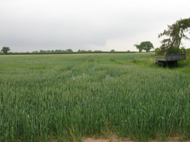
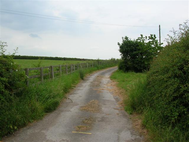
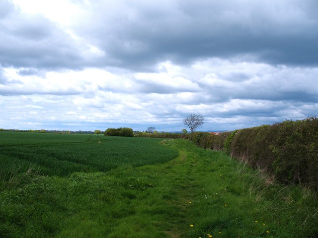
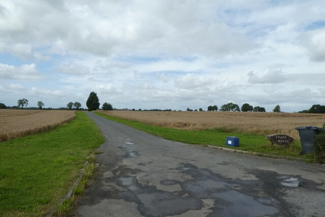
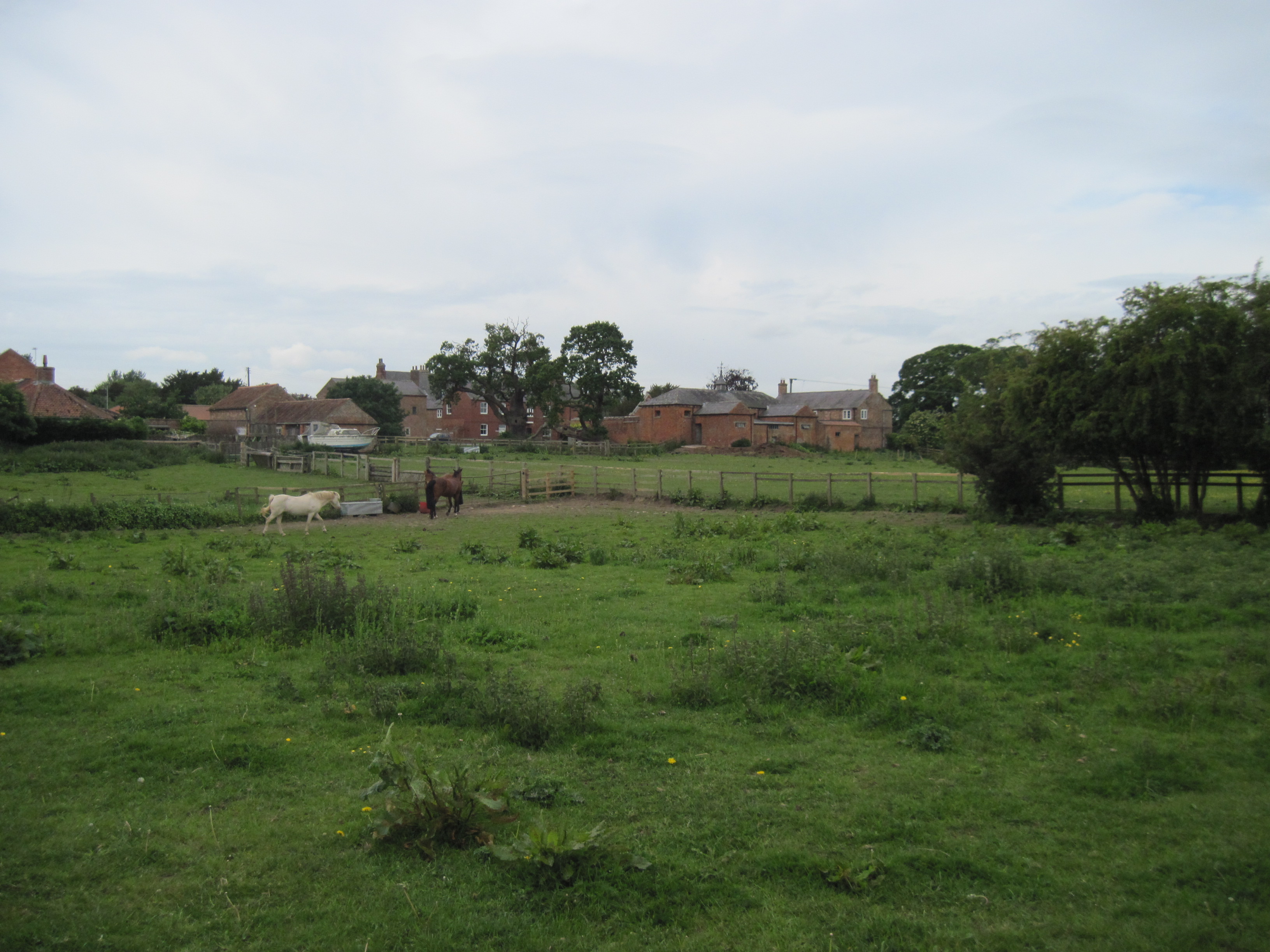
The village is known for its stunning countryside views and charming rural atmosphere. It is surrounded by lush green fields, rolling hills, and meandering rivers, providing ample opportunities for outdoor activities such as walking, hiking, and cycling. The nearby River Ouse also offers options for boating and fishing.
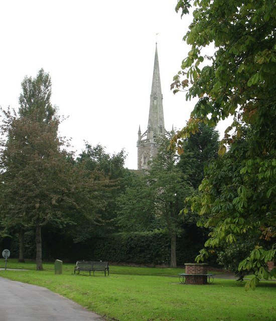
Beningbrough is home to Beningbrough Hall, a grand Georgian mansion that dates back to the 18th century. The hall is now owned by the National Trust and is open to the public, showcasing its impressive architecture and beautiful gardens. The estate also features a walled garden, a woodland walk, and a parkland, all of which contribute to the area's natural beauty.
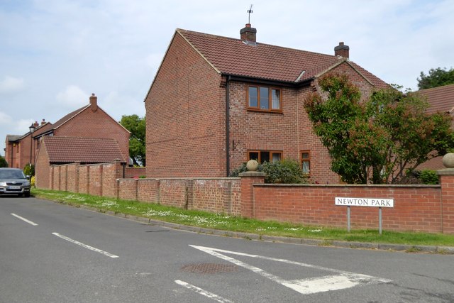
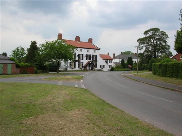
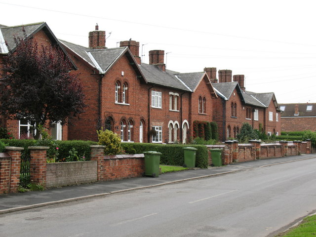
The village itself is small but boasts a tight-knit community and a few amenities, including a local pub and a village hall. Residents and visitors can enjoy the peaceful and welcoming atmosphere, away from the hustle and bustle of urban life.
Overall, Beningbrough offers a delightful blend of natural beauty, historical architecture, and a close-knit community, making it an idyllic location for those seeking a tranquil countryside retreat.
If you have any feedback on the listing, please let us know in the comments section below.
Beningbrough Images
Images are sourced within 2km of 54.021542/-1.198921 or Grid Reference SE5258. Thanks to Geograph Open Source API. All images are credited.


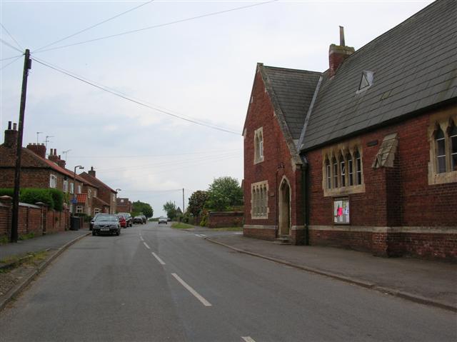
![Village Hall, Newton on Ouse A nice little Victorian building which was once a school, but which school? A description of the village, dated 1890 describes two schools, one being a neat red brick building, with residence attached, in the Gothic style and erected in 1854. This one would appear to fit the description, but there is another just around the corner [see other photo].](https://s2.geograph.org.uk/photos/97/43/974398_daa9330e.jpg)
![Former school, Newton on Ouse Both this building and the village hall [see photo in this square] were once schools. If the descriptions are correctly matched to the buildings, this one would have been the infant school of 1857. Both schools in the village were built and maintained at the expense of the Hon. Payan Dawnay of Beningbrough Hall.](https://s3.geograph.org.uk/photos/97/44/974407_2fb401e6.jpg)
Beningbrough is located at Grid Ref: SE5258 (Lat: 54.021542, Lng: -1.198921)
Division: North Riding
Administrative County: North Yorkshire
District: Hambleton
Police Authority: North Yorkshire
What 3 Words
///unlisted.silence.clasps. Near Linton upon Ouse, North Yorkshire
Nearby Locations
Related Wikis

Beningbrough
Beningbrough is a village and civil parish in the Hambleton district of North Yorkshire, England. The population as taken at the 2011 Census was less than...

River Nidd
The River Nidd is a tributary of the River Ouse in the English county of North Yorkshire. In its first few miles it is dammed three times to create Angram...
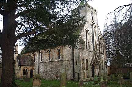
St Mary's Church, Nun Monkton
St Mary's Church is the parish church of Nun Monkton, in North Yorkshire, in England. == History == Nun Monkton Priory was founded in 1172 by Ivetta of...
Red House, Moor Monkton
The Red House is a historic building in Moor Monkton, north-west of York in England. == History == The first Red House was constructed before 1342, when...

Nun Monkton
Nun Monkton is a village and civil parish in the Harrogate district of North Yorkshire, England. It is situated 8 miles (13 km) northwest of York at the...

Newton-on-Ouse
Newton-on-Ouse is a village and civil parish in the Hambleton District of North Yorkshire, England, about 7 miles (11 km) north-west of York. It lies on...

Beningbrough railway station
Beningbrough railway station was on the East Coast Main Line that served the village of Beningbrough, North Yorkshire, England from 1841 to 1965. ��2...

Vale of York
The Vale of York is an area of flat land in the northeast of England. The vale is a major agricultural area and serves as the main north–south transport...
Nearby Amenities
Located within 500m of 54.021542,-1.198921Have you been to Beningbrough?
Leave your review of Beningbrough below (or comments, questions and feedback).