Nut Flat
Downs, Moorland in Yorkshire Hambleton
England
Nut Flat

Nut Flat is a picturesque region located in the county of Yorkshire, England. Nestled between the majestic Yorkshire Downs and the vast Moorland, this area boasts breathtaking natural beauty and a tranquil atmosphere. With its idyllic landscapes and rich history, Nut Flat is a popular destination for nature enthusiasts and history buffs alike.
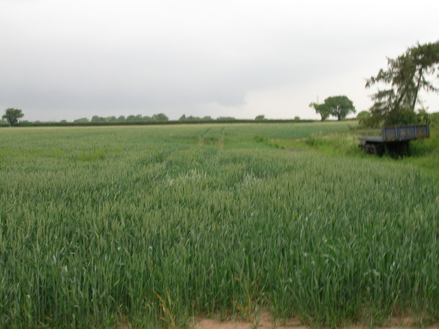
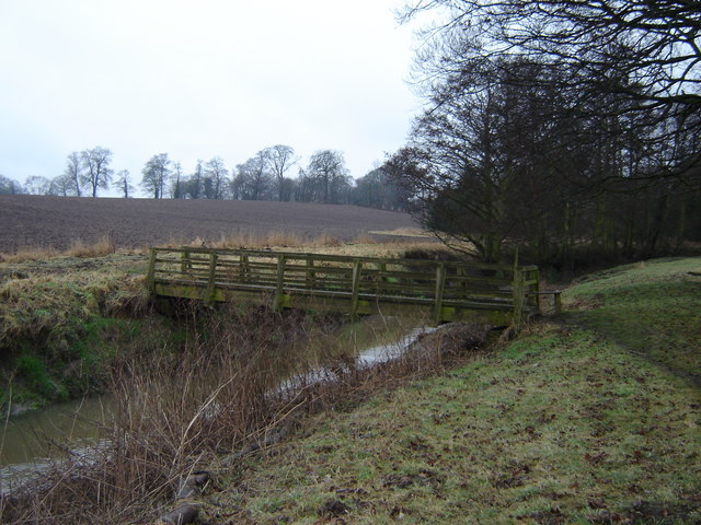
The region's name, Nut Flat, is derived from the abundance of nut trees that once flourished in the area. Today, the land is characterized by rolling hills, lush green meadows, and scattered woodlands, providing a haven for various wildlife species. Visitors to Nut Flat can enjoy leisurely walks or hikes along the numerous trails, immersing themselves in the serene ambiance and admiring the stunning vistas.
In addition to its natural charm, Nut Flat also offers a glimpse into the past. The region is dotted with ancient ruins, such as crumbling stone walls and remnants of long-abandoned buildings, serving as a reminder of the area's rich historical heritage. Archaeological findings suggest that Nut Flat was inhabited as early as the Iron Age, and artifacts from different eras can be found in local museums and exhibitions.
While Nut Flat may be a haven for those seeking tranquility, it is not devoid of amenities. The nearby towns of Yorkshire Downs and Moorland offer a range of accommodations, including cozy bed and breakfasts and charming country inns. Visitors can also indulge in locally sourced cuisine at quaint restaurants or explore the bustling markets filled with fresh produce and artisanal crafts.
With its remarkable natural beauty, captivating history, and warm hospitality, Nut Flat is a destination that truly offers something for everyone. Whether one seeks solace in nature, a journey through history, or simply a peaceful retreat, Nut Flat in Yorkshire is a place that will leave a lasting impression.
If you have any feedback on the listing, please let us know in the comments section below.
Nut Flat Images
Images are sourced within 2km of 54.018927/-1.2058689 or Grid Reference SE5258. Thanks to Geograph Open Source API. All images are credited.


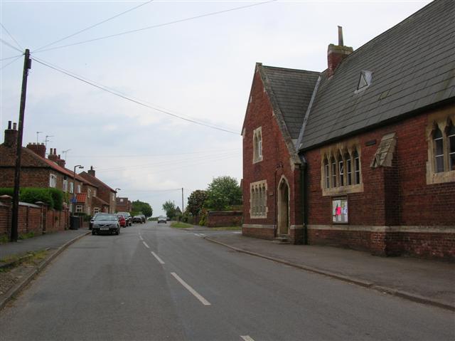


![Village Hall, Newton on Ouse A nice little Victorian building which was once a school, but which school? A description of the village, dated 1890 describes two schools, one being a neat red brick building, with residence attached, in the Gothic style and erected in 1854. This one would appear to fit the description, but there is another just around the corner [see other photo].](https://s2.geograph.org.uk/photos/97/43/974398_daa9330e.jpg)
Nut Flat is located at Grid Ref: SE5258 (Lat: 54.018927, Lng: -1.2058689)
Division: North Riding
Administrative County: North Yorkshire
District: Hambleton
Police Authority: North Yorkshire
What 3 Words
///clapper.exotic.brings. Near Linton upon Ouse, North Yorkshire
Nearby Locations
Related Wikis

River Nidd
The River Nidd is a tributary of the River Ouse in the English county of North Yorkshire. In its first few miles it is dammed three times to create Angram...

Beningbrough
Beningbrough is a village and civil parish in the Hambleton district of North Yorkshire, England. The population as taken at the 2011 Census was less than...
St Mary's Church, Nun Monkton
St Mary's Church is the parish church of Nun Monkton, in North Yorkshire, in England. == History == Nun Monkton Priory was founded in 1172 by Ivetta of...

Nun Monkton
Nun Monkton is a village and civil parish in the Harrogate district of North Yorkshire, England. It is situated 8 miles (13 km) northwest of York at the...
Red House, Moor Monkton
The Red House is a historic building in Moor Monkton, north-west of York in England. == History == The first Red House was constructed before 1342, when...

Newton-on-Ouse
Newton-on-Ouse is a village and civil parish in the Hambleton District of North Yorkshire, England, about 7 miles (11 km) north-west of York. It lies on...

Moor Monkton
Moor Monkton is a village and civil parish in the former Harrogate District of North Yorkshire, England. It is situated on the River Nidd and 7 miles...
River Kyle
The River Kyle is a small river in North Yorkshire, England. At just under 6 miles (9.7 km) long, it is one of the shortest classified main rivers in the...
Nearby Amenities
Located within 500m of 54.018927,-1.2058689Have you been to Nut Flat?
Leave your review of Nut Flat below (or comments, questions and feedback).