Music Meadow
Downs, Moorland in Oxfordshire Oxford
England
Music Meadow

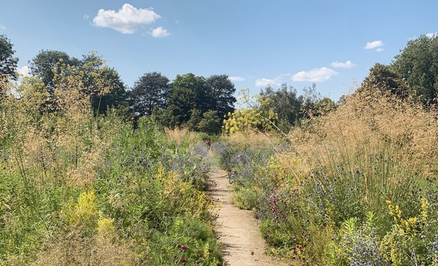
Music Meadow is a picturesque location nestled in the heart of Oxfordshire, England. It is a vast expanse of land characterized by rolling downs and moorland, offering visitors a serene and tranquil escape from the hustle and bustle of city life.
The meadow stretches over a considerable area, providing ample space for leisurely walks and picnics. The downs, with their gentle slopes and lush greenery, offer a breathtaking panorama of the surrounding countryside. Visitors can immerse themselves in the beauty of nature, taking in the sights and sounds of the meadow's diverse flora and fauna.
The moorland, on the other hand, boasts a more rugged and untamed landscape. Here, visitors can explore the wilder side of Music Meadow, with its heather-clad hills and rocky outcrops. The moorland is home to a variety of wildlife, including birds of prey, deer, and rabbits, making it a haven for nature enthusiasts and wildlife photographers.
Music Meadow is also known for its musical heritage. It has played host to numerous outdoor concerts and music festivals, attracting both local and international artists. The natural acoustics of the meadow create a unique and enchanting atmosphere, enhancing the musical experience for both performers and audiences alike.
A visit to Music Meadow is a chance to reconnect with nature, soak up the stunning scenery, and enjoy the therapeutic effects of the great outdoors. Whether strolling through the downs, exploring the moorland, or attending a musical event, this idyllic location offers something for everyone, making it a must-visit destination in Oxfordshire.
If you have any feedback on the listing, please let us know in the comments section below.
Music Meadow Images
Images are sourced within 2km of 51.758746/-1.2461191 or Grid Reference SP5206. Thanks to Geograph Open Source API. All images are credited.


Music Meadow is located at Grid Ref: SP5206 (Lat: 51.758746, Lng: -1.2461191)
Administrative County: Oxfordshire
District: Oxford
Police Authority: Thames Valley
What 3 Words
///quiet.banks.tiny. Near Oxford, Oxfordshire
Nearby Locations
Related Wikis
New College Ground
New College Ground is a cricket ground in Oxford, England. The ground is owned by New College, a constituent college of the University of Oxford. The ground...
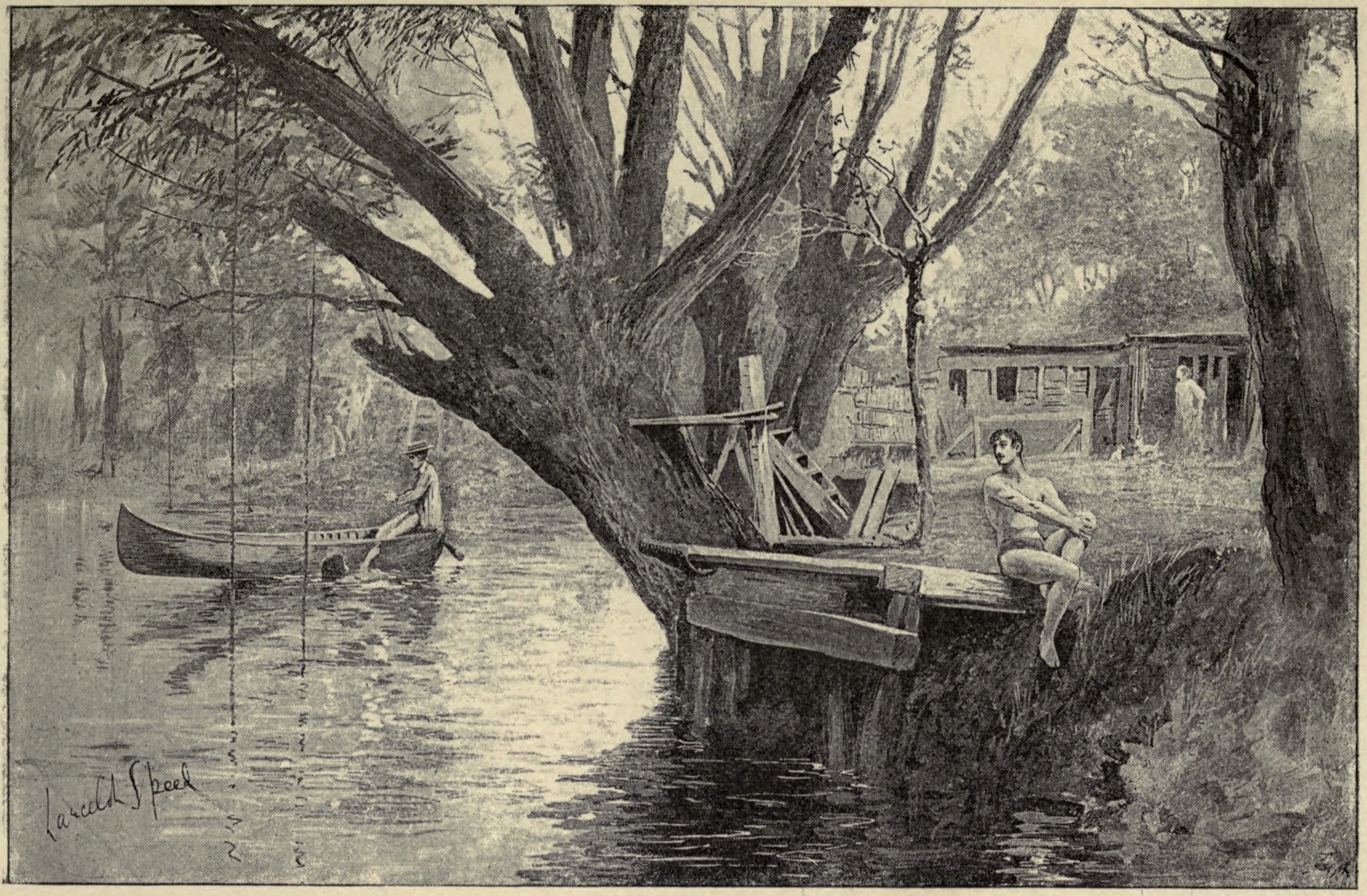
Parson's Pleasure
Parson's Pleasure in the University Parks at Oxford, England, was a secluded area for male-only nude bathing on the River Cherwell. It was located next...

Social Science Library
The Bodleian Social Science Library, Oxford (SSL) is the main teaching social sciences lending library at the University of Oxford, England. The library...
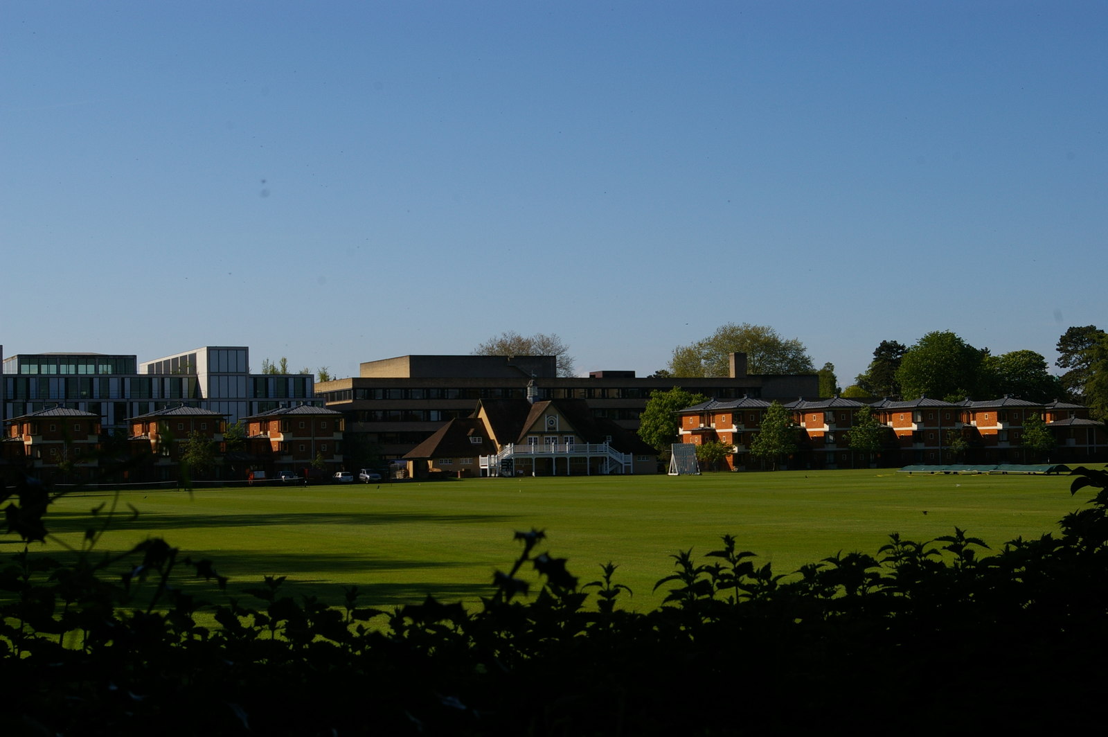
St Catherine's College, Oxford
St Catherine's College (colloquially called St Catz or Catz) is one of the constituent colleges of the University of Oxford. In 1974, it was also one of...

Reuters Institute for the Study of Journalism
The Reuters Institute for the Study of Journalism (RISJ) is a UK-based research centre and think tank founded in 2006, which operates Thomson Reuters Journalism...

Manor Road, Oxford
Manor Road is a road in central Oxford, England. It is a no through road that links St Cross Road to the west with St Catherine's College, one of the newer...
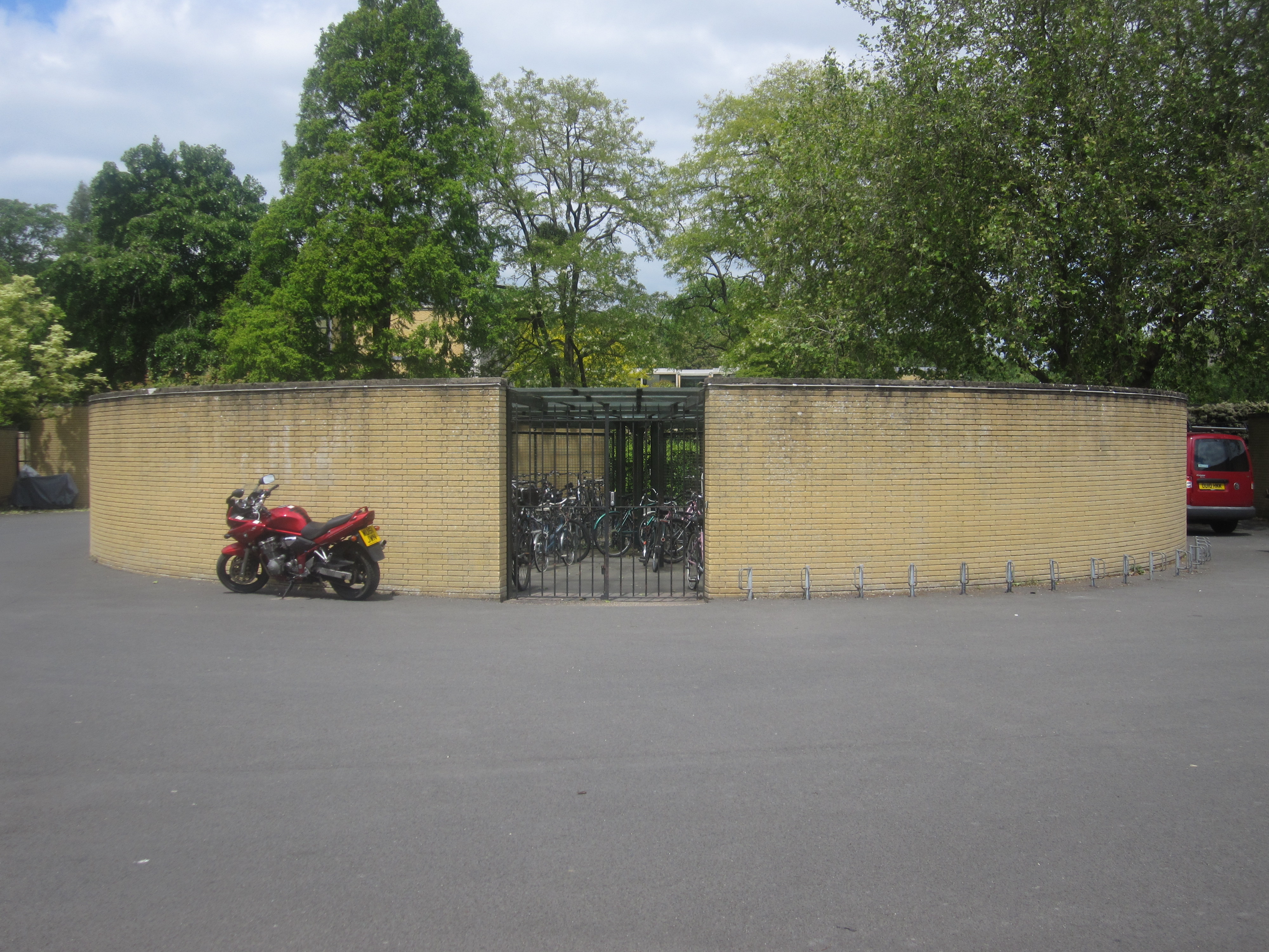
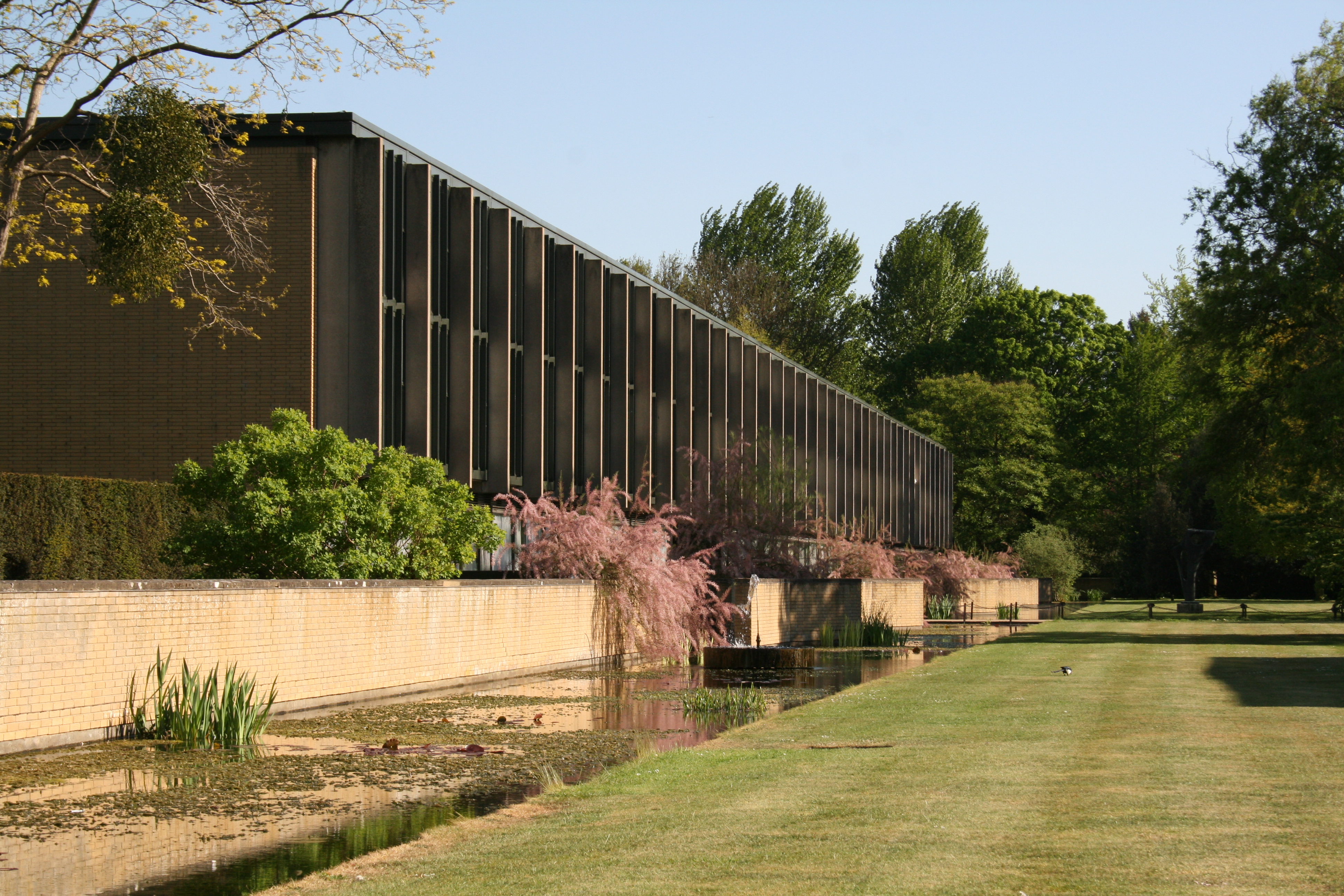
St Catherine's College Bicycle Store
St Catherine's College Bicycle Store is located at St Catherine's College in the city of Oxford, in England. Designed by Arne Jacobsen in the 1960s, the...
Holywell, Oxford
Holywell is a parish in Oxford, England. The toponym is derived from the well of Saint Winifred and Saint Margaret. == See also == St Cross Church, Oxford...
Nearby Amenities
Located within 500m of 51.758746,-1.2461191Have you been to Music Meadow?
Leave your review of Music Meadow below (or comments, questions and feedback).