Long Meadow
Wood, Forest in Oxfordshire Oxford
England
Long Meadow

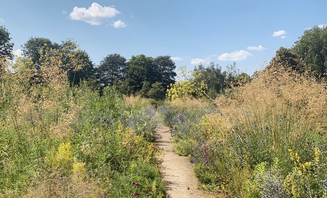
Long Meadow is a picturesque woodland area located in Oxfordshire, England. Covering an expansive area, it is a popular destination for nature enthusiasts and outdoor lovers. The meadow is characterized by its lush greenery, tall trees, and diverse wildlife.
As part of the larger Oxfordshire Forest, Long Meadow offers a serene escape from the hustle and bustle of city life. The forest is primarily composed of deciduous trees such as oak, beech, and birch, which create a vibrant tapestry of colors during the autumn months. These trees provide ample shade and a cool atmosphere, making it a pleasant place to explore even on hot summer days.
The meadow is home to a wide array of wildlife, including various bird species, small mammals, and insects. Birdwatchers can spot species such as woodpeckers, owls, and thrushes in their natural habitat. Additionally, the forest is home to a number of small mammals, such as foxes, squirrels, and rabbits, which can often be observed scurrying through the undergrowth.
Long Meadow offers a range of recreational activities for visitors. There are numerous walking trails and paths that wind through the forest, allowing visitors to immerse themselves in the natural beauty of the area. These trails are suitable for all ages and fitness levels, making it an ideal destination for families and individuals alike.
Overall, Long Meadow in Oxfordshire is a stunning woodland area that offers a peaceful retreat and the opportunity to connect with nature. Its diverse flora and fauna, combined with its tranquil ambiance, make it a must-visit destination for those seeking a break from the urban environment.
If you have any feedback on the listing, please let us know in the comments section below.
Long Meadow Images
Images are sourced within 2km of 51.75553/-1.2395518 or Grid Reference SP5206. Thanks to Geograph Open Source API. All images are credited.


Long Meadow is located at Grid Ref: SP5206 (Lat: 51.75553, Lng: -1.2395518)
Administrative County: Oxfordshire
District: Oxford
Police Authority: Thames Valley
What 3 Words
///mats.young.fend. Near Oxford, Oxfordshire
Nearby Locations
Related Wikis
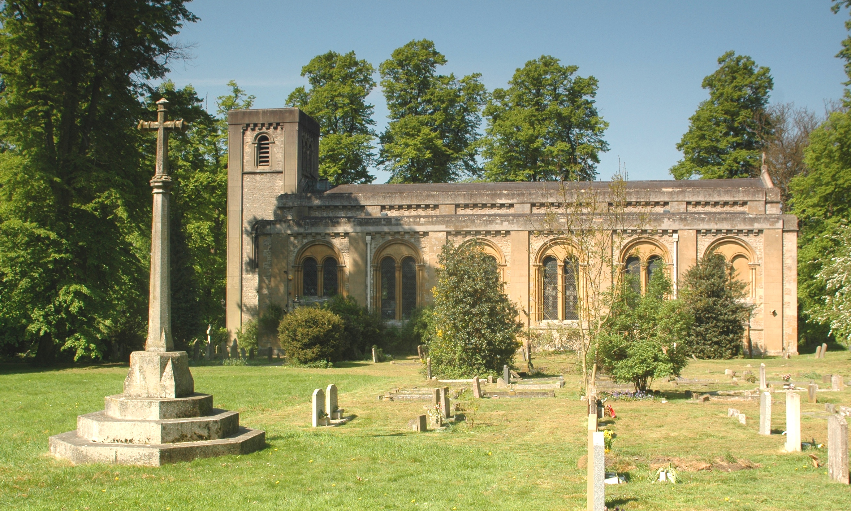
St Clement's Church, Oxford
St Clement's Church is an evangelical Church of England parish church situated just to the east of central Oxford, England. == History == The present church...

Mesopotamia, Oxford
Mesopotamia is a narrow ait (about 800 yards by 30 yards) that forms part of the University Parks in Oxford, England. It lies between the upper and lower...
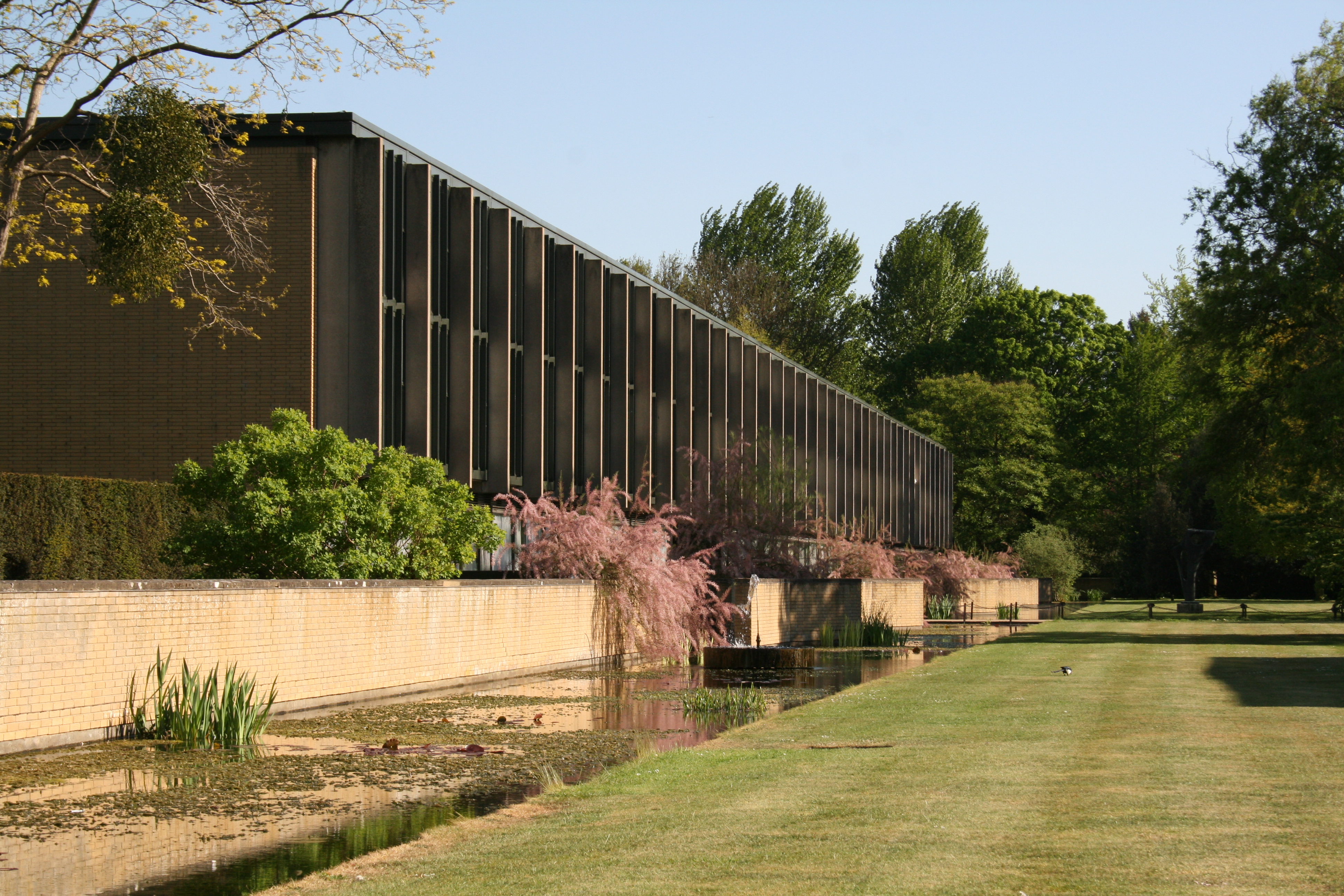
St Catherine's College, Oxford
St Catherine's College (colloquially called St Catz or Catz) is one of the constituent colleges of the University of Oxford. In 1974, it was also one of...

Angel & Greyhound Meadow, Oxford
Also known as Angel Meadow, the Angel & Greyhound Meadow is a flood-meadow adjoining the River Cherwell just north of Magdalen Bridge, Oxford, England...
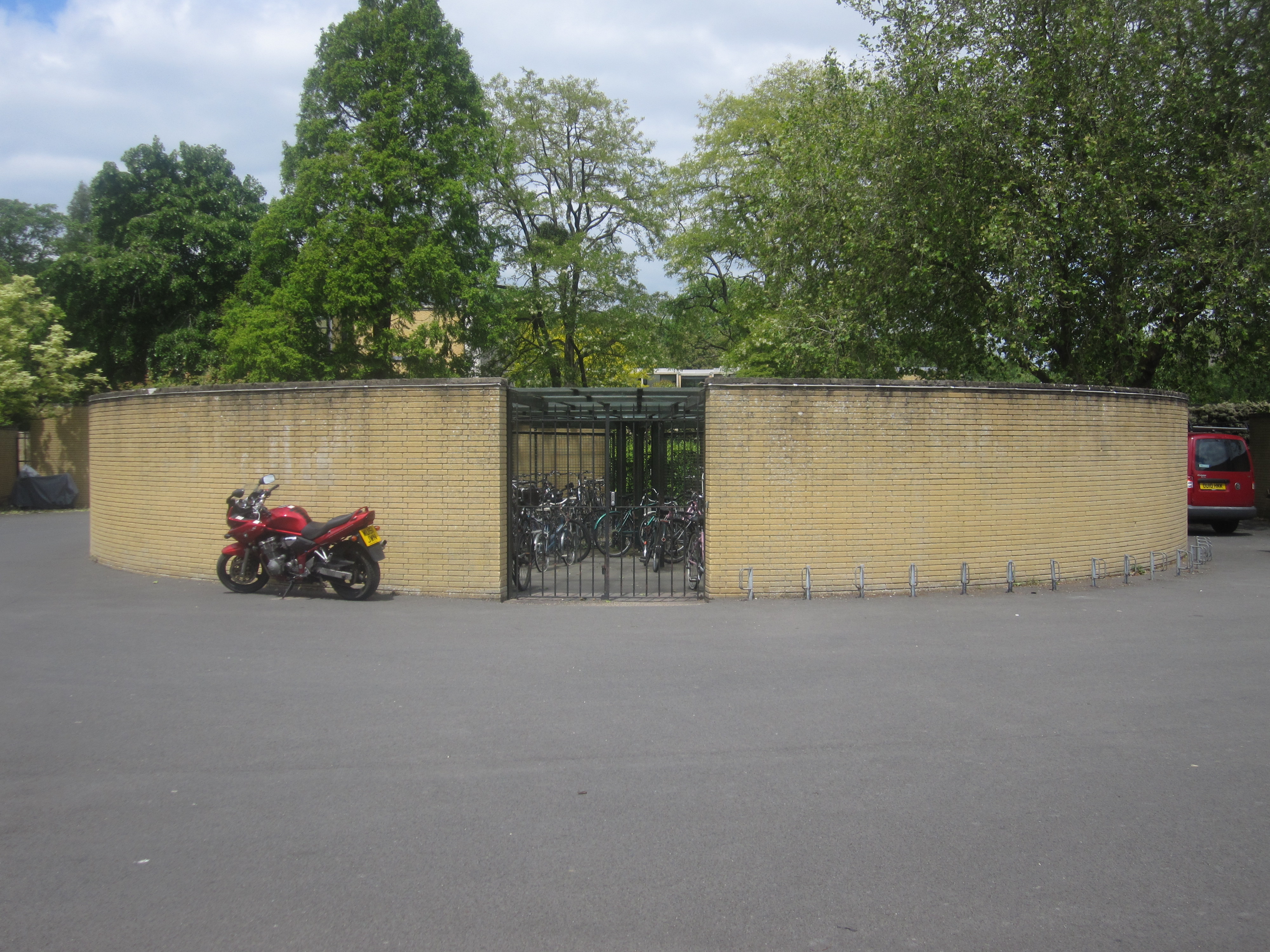
St Catherine's College Bicycle Store
St Catherine's College Bicycle Store is located at St Catherine's College in the city of Oxford, in England. Designed by Arne Jacobsen in the 1960s, the...

Headington Hill Park
Headington Hill Park is a park on Headington Hill in the east of Oxford, England.The park is part of the grounds of Headington Hill Hall, previously owned...

Headington Road
Headington Road is an arterial road in the east of Oxford, England. The road connects the junction of St Clements and Marston Road with the suburb of Headington...

Reuters Institute for the Study of Journalism
The Reuters Institute for the Study of Journalism (RISJ) is a UK-based research centre and think tank founded in 2006, which operates Thomson Reuters Journalism...
Nearby Amenities
Located within 500m of 51.75553,-1.2395518Have you been to Long Meadow?
Leave your review of Long Meadow below (or comments, questions and feedback).