Benniworth
Civil Parish in Lincolnshire East Lindsey
England
Benniworth

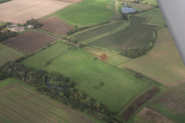
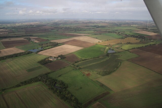
Benniworth is a civil parish located in the East Lindsey district of Lincolnshire, England. It is situated approximately 6 miles northeast of Market Rasen and is surrounded by picturesque countryside. The parish covers an area of about 14 square miles and has a population of around 200 people.
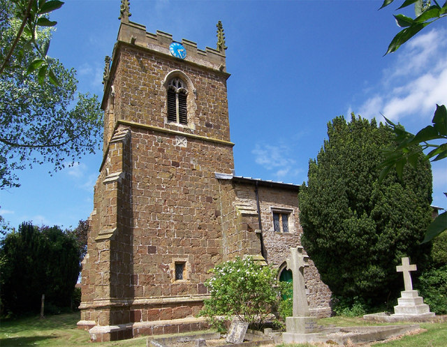
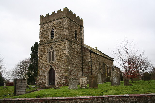
The village itself is small and quaint, with a traditional rural charm. It is characterized by its beautiful stone cottages and well-maintained gardens. The parish church, St. Julian's, is a prominent feature of the village and dates back to the 13th century. It is known for its striking architecture and hosts regular religious services.
Benniworth is predominantly an agricultural community, with farming being the main occupation of its residents. The fertile land in the area supports a variety of crops, including wheat, barley, and potatoes. Livestock farming, particularly sheep and cattle rearing, is also prevalent.
Despite its small size, Benniworth has a strong sense of community and residents take pride in their village. There are a few amenities available, including a village hall that serves as a hub for social events and gatherings. Additionally, a primary school is located nearby in the neighboring village of Donington on Bain, providing educational opportunities for local children.
Overall, Benniworth offers a peaceful and idyllic countryside setting, making it an attractive place to live for those seeking a quieter rural lifestyle.
If you have any feedback on the listing, please let us know in the comments section below.
Benniworth Images
Images are sourced within 2km of 53.318103/-0.185425 or Grid Reference TF2081. Thanks to Geograph Open Source API. All images are credited.


Benniworth is located at Grid Ref: TF2081 (Lat: 53.318103, Lng: -0.185425)
Administrative County: Lincolnshire
District: East Lindsey
Police Authority: Lincolnshire
What 3 Words
///overture.user.belong. Near Wragby, Lincolnshire
Nearby Locations
Related Wikis

Benniworth
Benniworth is a village and civil parish in the East Lindsey district of Lincolnshire, England. The village is situated just west of the B1225 road, and...

South Willingham and Hainton railway station
South Willingham and Hainton railway station was a railway station that served the village of South Willingham, Lincolnshire, England between 1874 and...
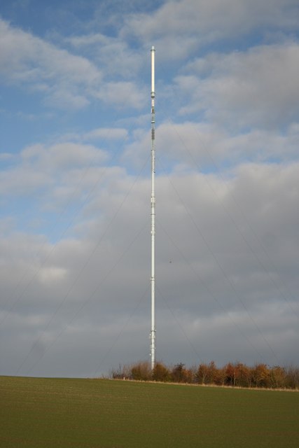
Belmont transmitting station
The Belmont transmitting station is a broadcasting and telecommunications facility next to the B1225, 1 mile (1.6 km) west of the village of Donington...
South Willingham
South Willingham is a village and civil parish in the East Lindsey district of Lincolnshire, England, and partly within the Lincolnshire Wolds Area of...

Market Stainton
Market Stainton is a village and civil parish in the East Lindsey district of Lincolnshire, England. It is situated approximately 7 miles (11 km) north...

Sotby
Sotby is a village and civil parish in the East Lindsey district of Lincolnshire, England. It is situated 15 miles (24 km) north-east from the city and...
Donington on Bain
Donington on Bain is a village and civil parish in the East Lindsey district of Lincolnshire, England. The village is approximately 6 miles (10 km) south...
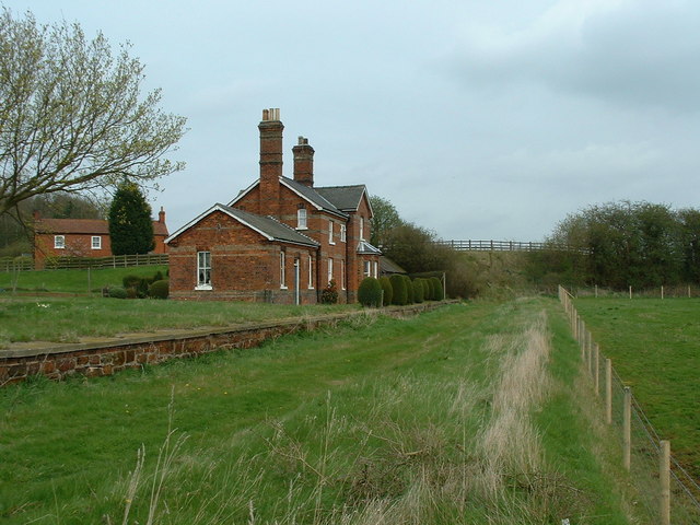
Donington on Bain railway station
Donington railway station was a station in the village of Donington on Bain, Lincolnshire, England. == History == The Great Northern Railway planned and...
Nearby Amenities
Located within 500m of 53.318103,-0.185425Have you been to Benniworth?
Leave your review of Benniworth below (or comments, questions and feedback).