Benniworth
Settlement in Lincolnshire East Lindsey
England
Benniworth

Benniworth is a small village located in the county of Lincolnshire, England. Situated approximately 9 miles north of the market town of Horncastle, it lies within the East Lindsey district. With a population of around 200 people, Benniworth is a quintessential rural community with a rich history.
The village is surrounded by picturesque countryside, characterized by rolling hills, fertile farmland, and charming country lanes. Its idyllic setting makes it a popular destination for nature lovers and outdoor enthusiasts. The area is also known for its tranquil atmosphere and peaceful surroundings, offering a serene escape from the hustle and bustle of city life.
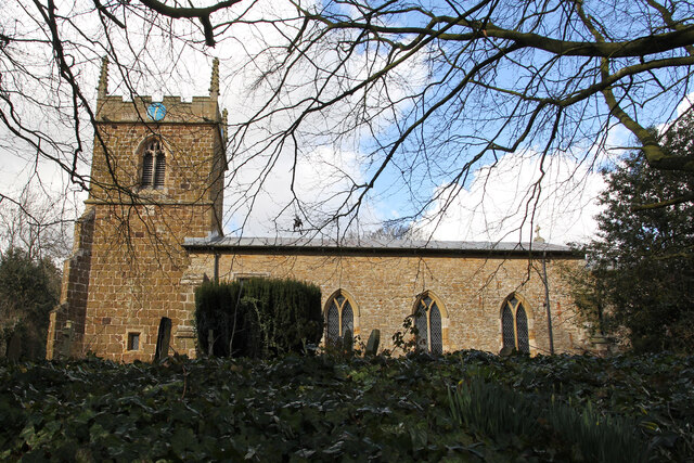
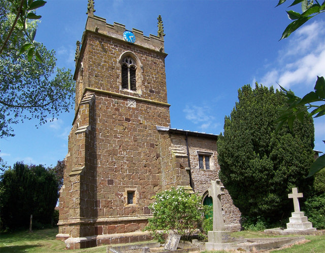
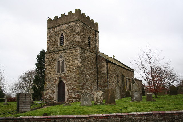
Benniworth is home to a few amenities, including a village hall, a local pub, and a primary school, which serves the surrounding villages as well. The village church, St. Julian's, is a notable landmark and dates back to the 12th century, showcasing stunning architecture and historical significance.
While primarily an agricultural community, Benniworth also boasts a sense of community spirit with various social events and activities taking place throughout the year. These gatherings often bring locals together, fostering a strong sense of belonging and camaraderie.
Overall, Benniworth offers a tranquil and close-knit environment for residents and visitors alike, showcasing the beauty of the Lincolnshire countryside and providing an authentic rural experience.
If you have any feedback on the listing, please let us know in the comments section below.
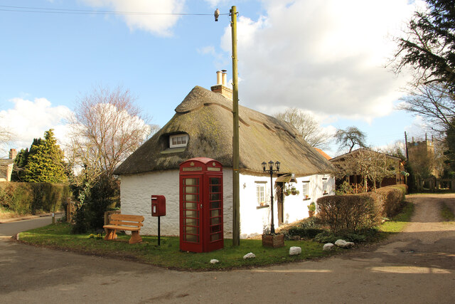
Benniworth Images
Images are sourced within 2km of 53.320933/-0.190034 or Grid Reference TF2081. Thanks to Geograph Open Source API. All images are credited.


Benniworth is located at Grid Ref: TF2081 (Lat: 53.320933, Lng: -0.190034)
Division: Parts of Lindsey
Administrative County: Lincolnshire
District: East Lindsey
Police Authority: Lincolnshire
What 3 Words
///vowed.tougher.certainty. Near Wragby, Lincolnshire
Nearby Locations
Related Wikis

Benniworth
Benniworth is a village and civil parish in the East Lindsey district of Lincolnshire, England. The village is situated just west of the B1225 road, and...

South Willingham and Hainton railway station
South Willingham and Hainton railway station was a railway station that served the village of South Willingham, Lincolnshire, England between 1874 and...
South Willingham
South Willingham is a village and civil parish in the East Lindsey district of Lincolnshire, England, and partly within the Lincolnshire Wolds Area of...
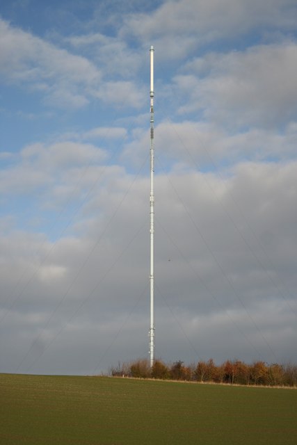
Belmont transmitting station
The Belmont transmitting station is a broadcasting and telecommunications facility next to the B1225, 1 mile (1.6 km) west of the village of Donington...

Market Stainton
Market Stainton is a village and civil parish in the East Lindsey district of Lincolnshire, England. It is situated approximately 7 miles (11 km) north...

Sotby
Sotby is a village and civil parish in the East Lindsey district of Lincolnshire, England. It is situated 15 miles (24 km) north-east from the city and...
Donington on Bain
Donington on Bain is a village and civil parish in the East Lindsey district of Lincolnshire, England. The village is approximately 6 miles (10 km) south...

Hainton
Hainton is a village and civil parish in the East Lindsey district of Lincolnshire, England. It is situated on the A157 road, 10 miles (16 km) west from...
Nearby Amenities
Located within 500m of 53.320933,-0.190034Have you been to Benniworth?
Leave your review of Benniworth below (or comments, questions and feedback).