Bennetts End
Settlement in Hertfordshire Dacorum
England
Bennetts End
Bennetts End is a residential area situated in the town of Hemel Hempstead, Hertfordshire, England. It is located approximately two miles northeast of the town center and is part of the Dacorum Borough Council district.
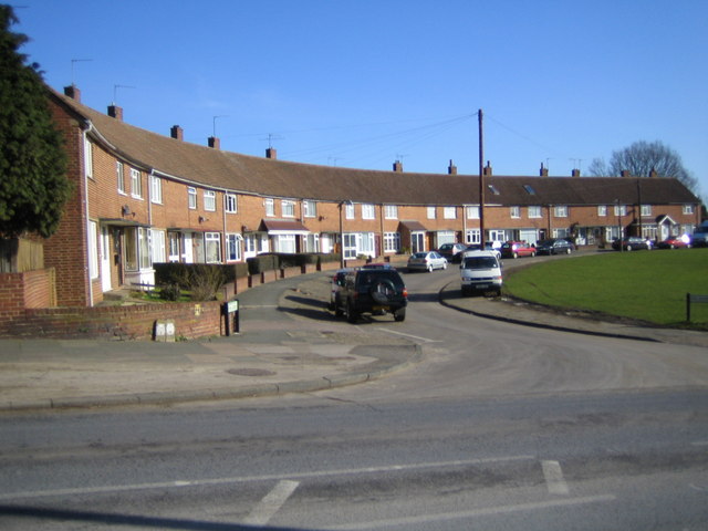
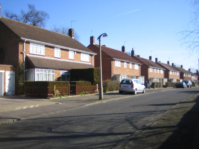
Primarily developed in the 1950s and 1960s, Bennetts End is known for its suburban character and family-friendly atmosphere. The area features a mix of housing types, including semi-detached and terraced houses, as well as some low-rise apartment buildings. Many of the properties have private gardens and off-street parking, contributing to the overall appeal of the neighbourhood.
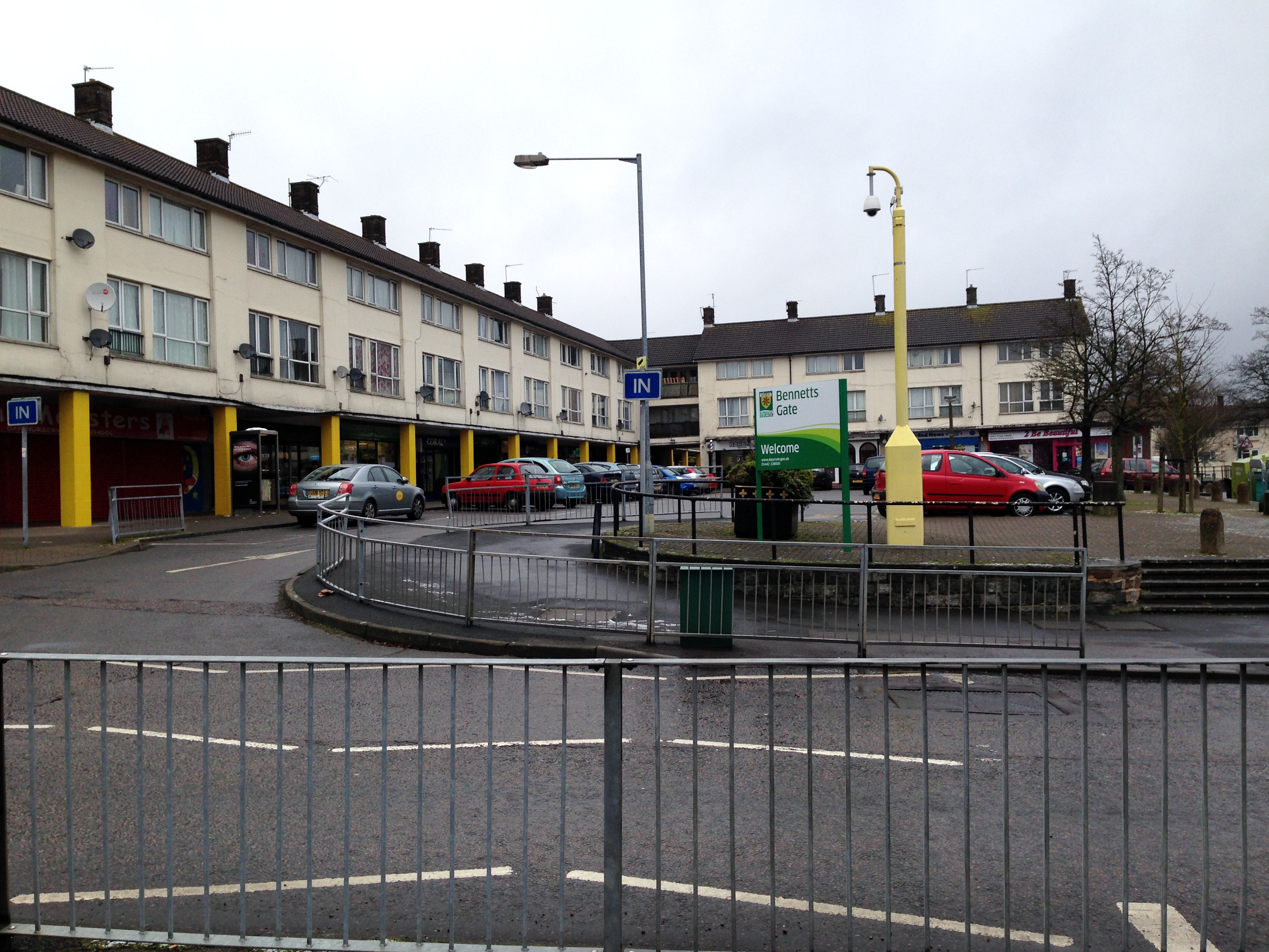
Bennetts End is well-served by local amenities, including a small shopping center that offers a range of convenience stores, a post office, and a pharmacy. There are also several green spaces in the area, such as Bennetts End Recreation Ground, providing opportunities for outdoor activities and leisurely walks.
Residents of Bennetts End benefit from good transportation links, with regular bus services connecting the area to the town center and surrounding areas. The nearby A414 road provides easy access to the M1 motorway, enabling convenient travel to other parts of Hertfordshire and beyond.
The area is served by several primary and secondary schools, making it popular among families with children. Additionally, there are several healthcare facilities, including a medical center and a dental practice, ensuring that residents have access to essential healthcare services.
Overall, Bennetts End offers a pleasant residential environment with a range of amenities, making it an attractive place to live for individuals and families alike.
If you have any feedback on the listing, please let us know in the comments section below.
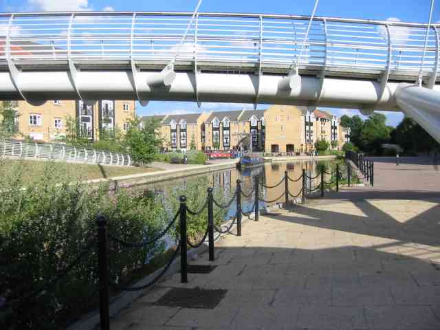
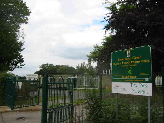
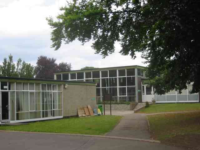
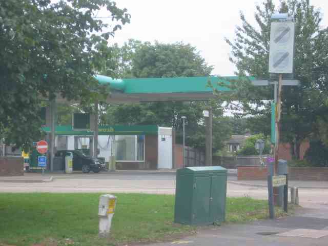
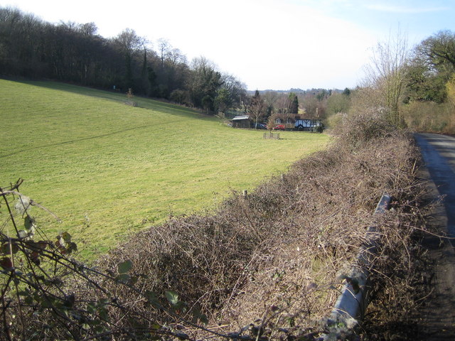
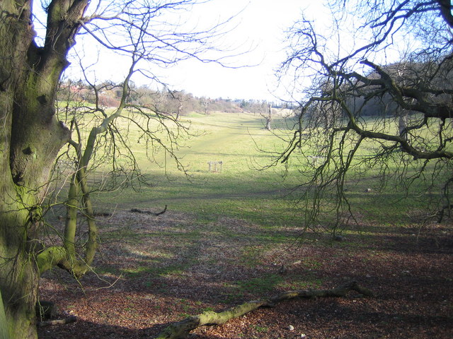
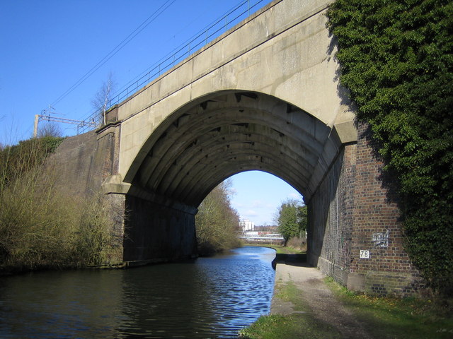
Bennetts End Images
Images are sourced within 2km of 51.741101/-0.451692 or Grid Reference TL0705. Thanks to Geograph Open Source API. All images are credited.
Bennetts End is located at Grid Ref: TL0705 (Lat: 51.741101, Lng: -0.451692)
Administrative County: Hertfordshire
District: Dacorum
Police Authority: Hertfordshire
What 3 Words
///hunt.tried.skip. Near Hemel Hempstead, Hertfordshire
Nearby Locations
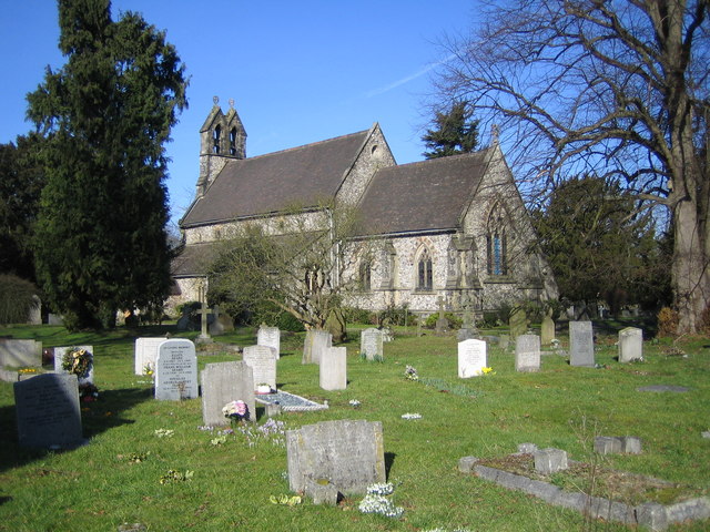
Related Wikis
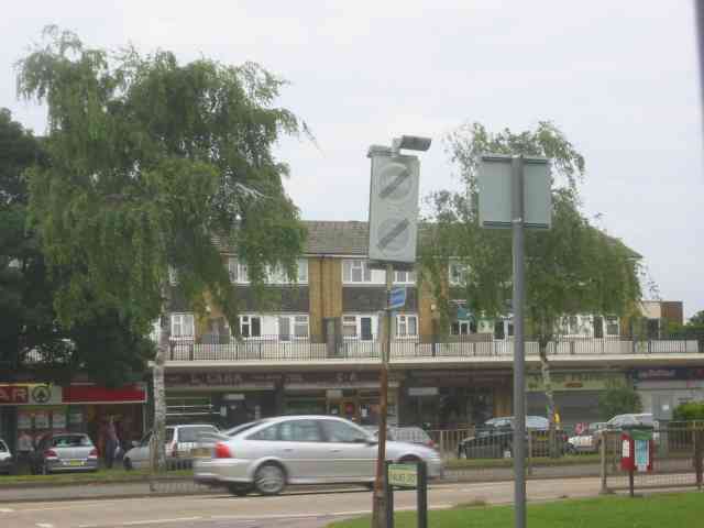
Bennetts End
Bennetts End is a neighbourhood within Hemel Hempstead in Hertfordshire, England. It is located in the southeast of the town and consists almost entirely...

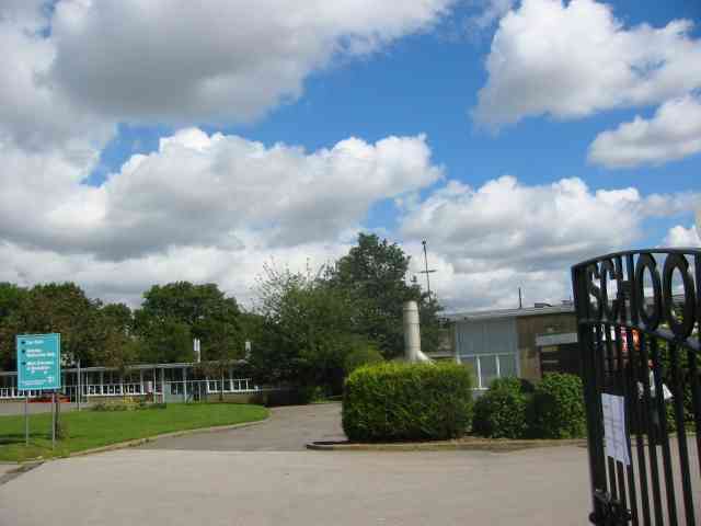
Longdean School
Longdean School is a secondary school and sixth form with academy status, located in the southeast of Hemel Hempstead, Hertfordshire. The academy specialises...

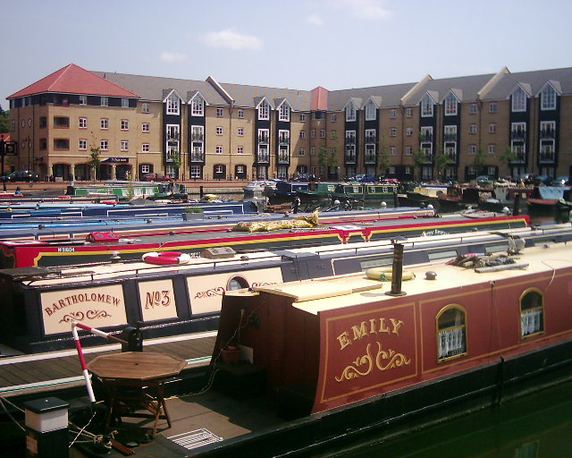
Apsley Marina
Apsley Marina, also referred to as Apsley Lock Marina, is a basin used for mooring narrowboats on the east side of the Grand Union Canal at Apsley, Hertfordshire...
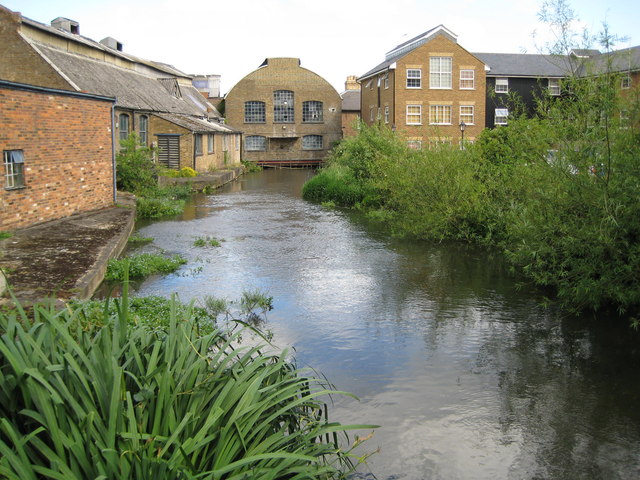
Frogmore Paper Mill
Frogmore Paper Mill is a working paper mill situated in Apsley, Hertfordshire, near Hemel Hempstead. The mill is on an island in the River Gade, which...

Apsley railway station
Apsley railway station is in Apsley, on the southern outskirts of Hemel Hempstead, Hertfordshire, England. One of two railway stations now serving the...

Long Deans
Long Deans is a 15 hectare nature reserve managed by the Herts and Middlesex Wildlife Trust in Nash Mills, between Kings Langley and Hemel Hempstead in...

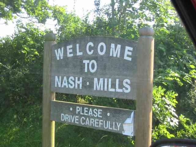
Nash Mills
Nash Mills is a civil parish within Hemel Hempstead and Dacorum Borough Council on the northern side of the Grand Union Canal, formerly the River Gade...

Nash Mill
Nash Mill was a paper mill in Hemel Hempstead, Hertfordshire, United Kingdom. The local residential area (Nash Mills) takes its name from the mill. �...
Nearby Amenities
Located within 500m of 51.741101,-0.451692Have you been to Bennetts End?
Leave your review of Bennetts End below (or comments, questions and feedback).