Park Wood
Wood, Forest in Hertfordshire East Hertfordshire
England
Park Wood
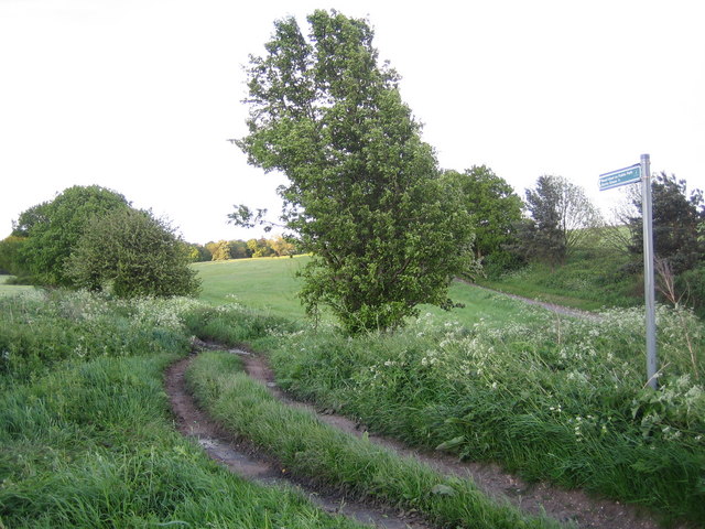
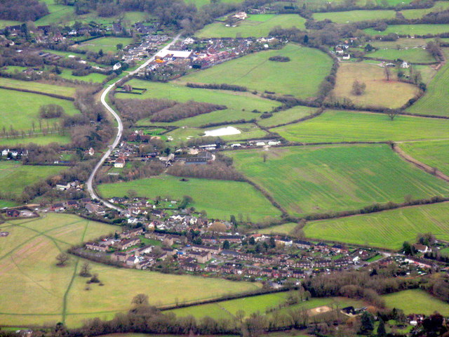
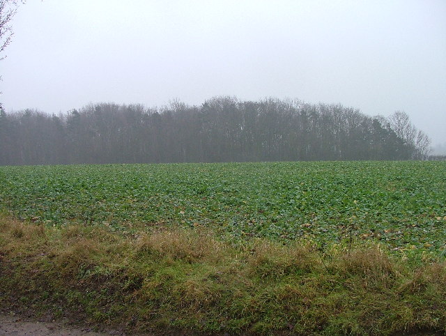
Park Wood is a picturesque forest located in Hertfordshire, England. Covering an area of approximately 100 acres, it is a popular destination for nature enthusiasts and outdoor activities. The wood is situated near the town of Hertford, offering convenient access for both locals and visitors.
As the name suggests, Park Wood is primarily composed of trees, including oak, beech, and silver birch. The dense foliage creates a tranquil and serene atmosphere, making it a perfect escape from the hustle and bustle of urban life. The forest floor is adorned with a variety of wildflowers and ferns, adding to its natural beauty.
The wood is crisscrossed with a network of well-maintained footpaths, allowing visitors to explore the area and enjoy leisurely walks. There are also designated cycling trails for those who prefer a more adventurous experience. Additionally, Park Wood offers facilities for picnics and has designated areas for barbecues, making it an ideal place for family outings and social gatherings.
The forest is home to a diverse range of wildlife, providing ample opportunities for animal and birdwatching. Squirrels, foxes, and rabbits are commonly spotted, while bird species such as woodpeckers, jays, and owls can often be heard and seen among the trees.
Park Wood is managed by the local council, ensuring its preservation and conservation. It is open to the public throughout the year and offers free admission. Whether you are seeking a peaceful stroll, a bike ride, or a chance to connect with nature, Park Wood is a haven that provides all this and more.
If you have any feedback on the listing, please let us know in the comments section below.
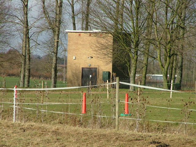
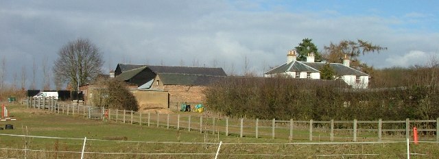
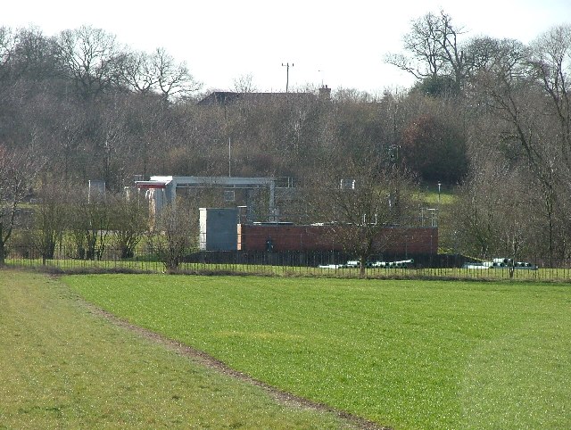
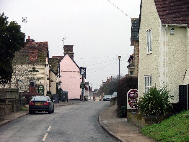
Park Wood Images
Images are sourced within 2km of 51.89359/-0.12161176 or Grid Reference TL2923. Thanks to Geograph Open Source API. All images are credited.


Park Wood is located at Grid Ref: TL2923 (Lat: 51.89359, Lng: -0.12161176)
Administrative County: Hertfordshire
District: East Hertfordshire
Police Authority: Hertfordshire
What 3 Words
///strides.puzzles.wriggled. Near Walkern, Hertfordshire
Related Wikis

Benington Castle
Benington Castle is a ruined castle in the village of Benington, near Stevenage in Hertfordshire, England at grid reference TL296236. It has been protected...

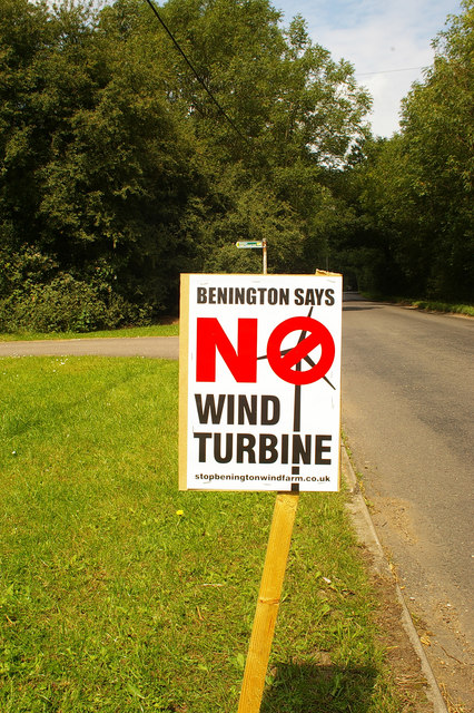
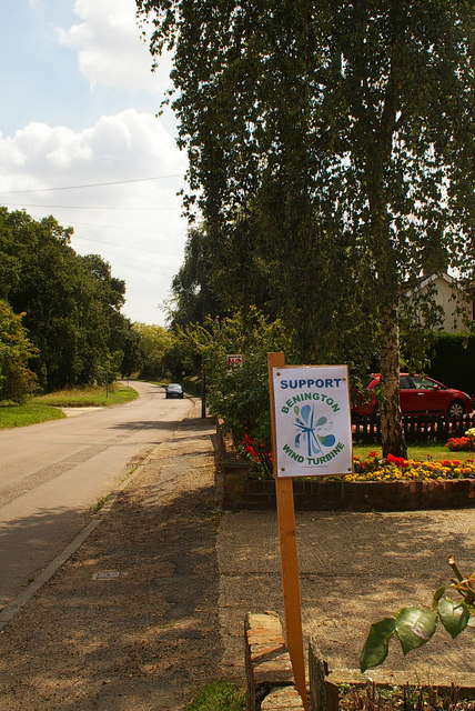
Benington, Hertfordshire
Benington is a village and civil parish in the East Hertfordshire district of Hertfordshire, England, about four miles east of Stevenage and 35 miles north...

Benington High Wood
Benington High Wood is a 20.7-hectare (51-acre) biological Site of Special Scientific Interest in Benington, Hertfordshire. The planning authority is East...

Aston End
Aston End is a hamlet in Hertfordshire, England. It is in the civil parish of Aston. It features a pub and a butchers, as well as a few houses. == References... ==

Aston, Hertfordshire
Aston is a village and civil parish in the East Hertfordshire district of Hertfordshire, England. According to the 2001 census it had a population of...

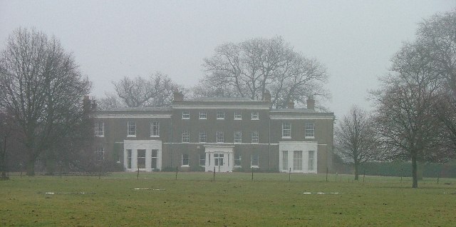
Aston Bury
Aston Bury is a manor house near Aston, Hertfordshire, England. It is Grade I listed building.It was built in the mid 17th century, possibly by the Boteler...
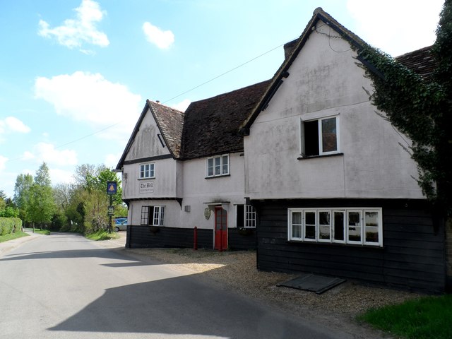
Walkern
Walkern is a village and civil parish in East Hertfordshire, England. It is about two miles (3 km) from Stevenage. The village has several shops, including...

A602 road
The A602 is a road linking Hitchin in Hertfordshire, England, with A10 at Ware in Hertfordshire, via Stevenage. The course of the road has changed significantly...
Nearby Amenities
Located within 500m of 51.89359,-0.12161176Have you been to Park Wood?
Leave your review of Park Wood below (or comments, questions and feedback).