Belmont Rural

Civil Parish in Herefordshire

England

Belmont Rural

The road into Hereford Cemetery and Crematorium
The road into Hereford Cemetery and Crematorium Credit: Eirian Evans

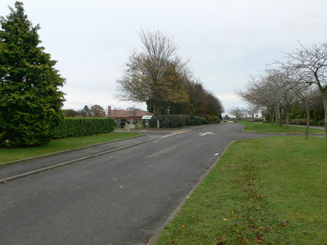
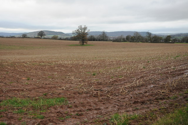
Belmont Rural is a civil parish located in the county of Herefordshire, England. It covers an area of approximately 6 square miles and is situated roughly 4 miles southwest of Hereford, the county town. The parish is predominantly rural, characterized by rolling hills, farmlands, and picturesque countryside views.

The population of Belmont Rural is relatively small, with around 500 residents. The community is close-knit and has a strong sense of belonging. The parish is made up of several small hamlets, including Belmont, Upper Breinton, Shelwick, and Breinton Common.

Belmont Rural is well-known for its agricultural activities, with farming playing a significant role in the local economy. The fertile soil and favorable climate make it an ideal location for crop cultivation and livestock rearing. The parish is also home to a number of small businesses, providing services and employment opportunities to the local population.

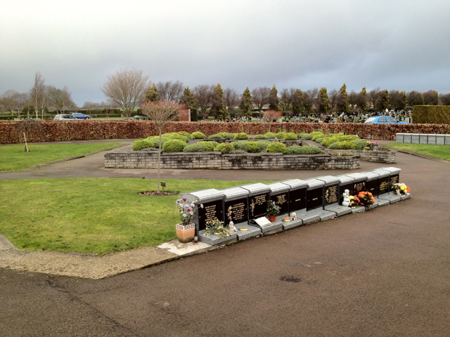
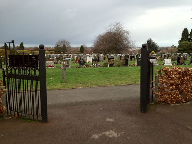
In terms of amenities, Belmont Rural has a primary school, a village hall, and a church, offering residents a range of community facilities. The area is also popular with outdoor enthusiasts, as it boasts a network of footpaths and bridleways, providing opportunities for walking, cycling, and horse riding.

Overall, Belmont Rural offers a tranquil and picturesque setting for those seeking a peaceful countryside lifestyle. With its strong community spirit and natural beauty, it is a desirable place to live for those who appreciate rural living.

If you have any feedback on the listing, please let us know in the comments section below.

Belmont Rural Images

Images are sourced within 2km of 52.041903/-2.751486 or Grid Reference SO4838. Thanks to Geograph Open Source API. All images are credited.

The road into Hereford Cemetery and Crematorium
Arable land near Lower Breinton Arable land west of Lower Hill Farm, Lower Breinton.
Arable land near Lower Breinton
Arable land west of Lower Hill Farm, Lower Breinton.
Garden of Rest, Hereford Cemetery This area for the interment of cremated remains is close to the new crematorium.
Garden of Rest, Hereford Cemetery
This area for the interment of cremated remains is close to the new crematorium.
Hereford Cemetery To the west of the city centre, off the long Westfaling Street.
Hereford Cemetery
To the west of the city centre, off the long Westfaling Street.
Hereford Crematorium Chapel
Hereford Crematorium
Silver Birch in the cemetery
Hereford Cemetery Chapel Adjacent to Westfaling Street to the west of the city.
Hereford Cemetery Chapel
Adjacent to Westfaling Street to the west of the city.
Hereford Cemetery View north to the houses along Westfaling Street.
Hereford Cemetery
View north to the houses along Westfaling Street.
Hereford cemetery - damaged graves The fine treescape is in the next gridsquare to the south.
Hereford cemetery - damaged graves
The fine treescape is in the next gridsquare to the south.
Headstones at Hereford Crematorium
White Cross housing By the roundabout at the top of Wordsworth Road.
White Cross housing
By the roundabout at the top of Wordsworth Road.
White Cross Recreation Ground Community decorations.
White Cross Recreation Ground
Community decorations.
Medical Centre, Westfaling Street Positioned, ironically, on the edge of the crematorium.
Medical Centre, Westfaling Street
Positioned, ironically, on the edge of the crematorium.
Drive to Hereford Crematorium Complete with early cherry blossom.
Drive to Hereford Crematorium
Complete with early cherry blossom.
Hereford cemetery and crematorium grounds, 1 Looking WNW from the same spot as <a href="https://www.geograph.org.uk/photo/4945894">SO4940 : Drive to Hereford Crematorium</a>.
Hereford cemetery and crematorium grounds, 1
Looking WNW from the same spot as SO4940 : Drive to Hereford Crematorium.
Drive from Hereford  Crematorium Looking towards the entrance on Westfaling Street.
Drive from Hereford Crematorium
Looking towards the entrance on Westfaling Street.
Hereford cemetery and crematorium grounds, 2 Looking south-east across the cemetery towards the crematorium building in a bright spring morning.
This weather rapidly deteriorated, see <a href="https://www.geograph.org.uk/photo/4947956">SO4741 : Four seasons in one day</a> taken six hours later.
Hereford cemetery and crematorium grounds, 2
Looking south-east across the cemetery towards the crematorium building in a bright spring morning. This weather rapidly deteriorated, see SO4741 : Four seasons in one day taken six hours later.
Show me another place!

Belmont Rural is located at Grid Ref: SO4838 (Lat: 52.041903, Lng: -2.751486)

Unitary Authority: County of Herefordshire

Police Authority: West Mercia

What 3 Words

///unite.buzzards.acclaim. Near Belmont, Herefordshire

Related Wikis

Belmont Rural

Belmont Rural is a civil parish in Herefordshire, England. The population of the Civil Parish taken at the 2011 Census was 3,769. It is south-west of...

Belmont Abbey, Herefordshire

Belmont Abbey, in Herefordshire, England, is a Catholic Benedictine monastery that forms part of the English Benedictine Congregation. It stands on a small...

Warham, Herefordshire

Warham is a place in the English county of Herefordshire. It is situated about 3 km west of the city of Hereford, close to the north bank of the River...

The Hereford Academy

The Hereford Academy is a secondary school and sixth form located in Hereford, Herefordshire, England.It was known as Haywood High School in the late seventies...

Grafton, Herefordshire

Grafton is a village and civil parish in Herefordshire, England. The population of this civil parish was 258 at the 2011 census. The parish includes the...

Hereford Rowing Club

Hereford Rowing Club is a rowing club on the River Wye, based at 37 Greyfriars Avenue, Hereford, Herefordshire. == History == The club was founded in 1859...

Cider Museum, Hereford

The Cider Museum is a museum in Hereford, England, about the history of cider. The museum was set up as a Trust in the 1970s by Bertram Bulmer, Norman...

Breinton

Breinton is a civil parish in Herefordshire, England. Breinton lies just to the west of Hereford. The name Breinton appears to be a modernised form of...

Nearby Amenities

Located within 500m of 52.041903,-2.751486
Mini Roundabout
Direction: clockwise
Lat/Long: 52.0427078/-2.7445302
Barrier: stile
Foot: yes
Lat/Long: 52.0423429/-2.7525754
Bus Stop
Haywood Turn
Naptan AtcoCode: 2090A19671
Naptan Bearing: NE
Naptan CommonName: Haywood Turn
Naptan Indicator: adj Home Farm
Naptan Landmark: o/s Home Farm
Naptan NaptanCode: heramgpt
Naptan PlusbusZoneRef: HEREFRD
Naptan Street: A465
Naptan Verified: no
Source: naptan_import
Lat/Long: 52.0392345/-2.7485042
Turning Circle
Lat/Long: 52.0391291/-2.7468959
Barrier: cycle_barrier
Lat/Long: 52.0380008/-2.7485971
Barrier: stile
Source: survey
Lat/Long: 52.0417962/-2.7545214
Bus Stop
Dorchester Way
Naptan AtcoCode: 2090A18800
Naptan NaptanCode: herajdpm
Operator: Yeomans
Route Ref: 75
Shelter: no
Lat/Long: 52.0426065/-2.7450541
Bus Stop
Stanbrook Road
Naptan AtcoCode: 2090A20461
Naptan NaptanCode: herapjdp
Operator: Yeomans
Route Ref: 75
Shelter: no
Lat/Long: 52.0412382/-2.7457992
Post Box
Stanbrook Road
Collection Times: Mo-Fr 11:15; Sa 11:15
Operator: Royal Mail
Ref: HR2 46
Lat/Long: 52.0412732/-2.7458802
Bus Stop
Haywood Turn
Naptan AtcoCode: 2090A19673
Naptan Bearing: SW
Naptan BusStopType: CUS
Naptan CommonName: Haywood Turn
Naptan Indicator: opp Home Farm
Naptan Landmark: o/s Lake Cottage
Naptan NaptanCode: heramgpw
Naptan Street: A465
Naptan Verified: no
Source: naptan_import
Lat/Long: 52.0389556/-2.749038
Leisure: playground
Max Age: 8
Operator: Herefordshire Council
Lat/Long: 52.0429806/-2.7493177
Generator Method: photovoltaic
Generator Output Electricity: yes
Generator Source: solar
Generator Type: solar_photovoltaic_panel
Location: roof
Power: generator
Lat/Long: 52.0440447/-2.7522643
Generator Method: photovoltaic
Generator Output Electricity: yes
Generator Source: solar
Generator Type: solar_photovoltaic_panel
Location: roof
Power: generator
Lat/Long: 52.0430005/-2.7526237
Generator Method: photovoltaic
Generator Output Electricity: yes
Generator Source: solar
Generator Type: solar_photovoltaic_panel
Location: roof
Power: generator
Lat/Long: 52.0437742/-2.7515642
Generator Method: photovoltaic
Generator Output Electricity: yes
Generator Source: solar
Generator Type: solar_photovoltaic_panel
Location: roof
Power: generator
Lat/Long: 52.0401282/-2.7485052
Generator Method: photovoltaic
Generator Output Electricity: yes
Generator Source: solar
Generator Type: solar_photovoltaic_panel
Location: roof
Power: generator
Lat/Long: 52.0408376/-2.7496585
Generator Method: photovoltaic
Generator Output Electricity: yes
Generator Source: solar
Generator Type: solar_photovoltaic_panel
Location: roof
Power: generator
Lat/Long: 52.040341/-2.7488941
Generator Method: photovoltaic
Generator Output Electricity: yes
Generator Source: solar
Generator Type: solar_photovoltaic_panel
Location: roof
Power: generator
Lat/Long: 52.0398848/-2.7473076
Generator Method: photovoltaic
Generator Output Electricity: yes
Generator Source: solar
Generator Type: solar_photovoltaic_panel
Location: roof
Power: generator
Lat/Long: 52.041613/-2.7450344
Generator Method: photovoltaic
Generator Output Electricity: yes
Generator Source: solar
Generator Type: solar_photovoltaic_panel
Location: roof
Power: generator
Lat/Long: 52.0421302/-2.7481484
Generator Method: photovoltaic
Generator Output Electricity: yes
Generator Source: solar
Generator Type: solar_photovoltaic_panel
Location: roof
Power: generator
Lat/Long: 52.042042/-2.7480841
Generator Method: photovoltaic
Generator Output Electricity: yes
Generator Source: solar
Generator Type: solar_photovoltaic_panel
Location: roof
Power: generator
Lat/Long: 52.0432612/-2.7502057
Bicycle Rental
Capacity: 5
Name Signed: no
Network: Beryl - Hereford
Official Name: Dorchester Way
Operator: Beryl
Operator Wikidata: Q106575369
Payment App: yes
Payment App Android: cc.beryl.basis
Payment App Ios: 1386768364
Payment Cash: no
Payment Credit Cards: no
Payment Cryptocurrencies: no
Payment Debit Cards: no
Payment Electronic Purses: no
Ref Gbfs: beryl_hereford:2275
Lat/Long: 52.0431328/-2.7495661
Generator Method: photovoltaic
Generator Output Electricity: yes
Generator Source: solar
Generator Type: solar_photovoltaic_panel
Location: roof
Power: generator
Lat/Long: 52.0441883/-2.7518057
Generator Method: photovoltaic
Generator Output Electricity: yes
Generator Source: solar
Generator Type: solar_photovoltaic_panel
Location: roof
Power: generator
Lat/Long: 52.043672/-2.7510641
The data included in this document is from www.openstreetmap.org. The data is made available under ODbL.

Have you been to Belmont Rural?

Leave your review of Belmont Rural below (or comments, questions and feedback).