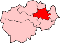
Belmont
Civil Parish in Durham
England
Belmont
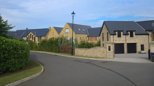
Belmont is a civil parish located within the county of Durham, in the northeast of England. It is situated approximately 3.5 miles to the northwest of the city of Durham and covers an area of around 3.6 square miles. The parish is predominantly residential, with a population of around 7,500 people.
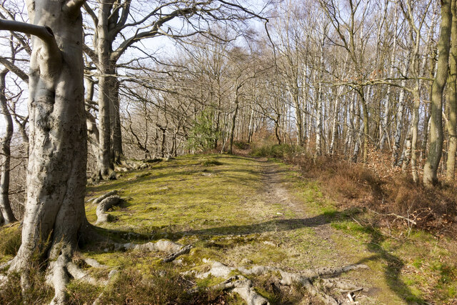
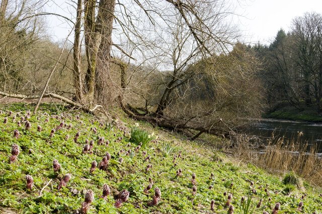
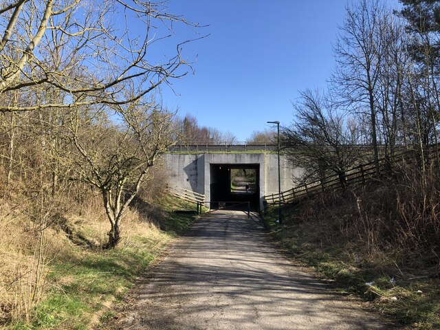
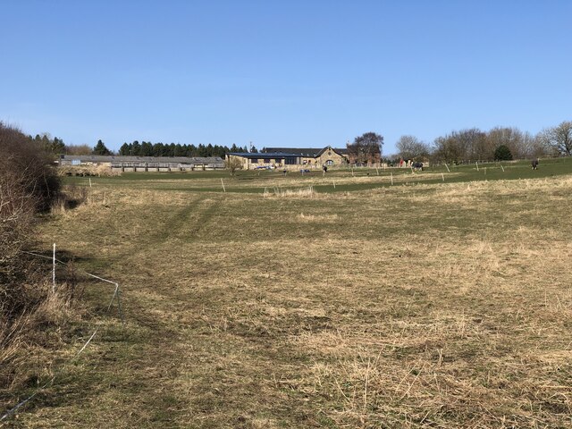
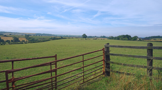
Belmont is known for its picturesque surroundings, nestled amidst rolling countryside and offering stunning views of the nearby River Wear. The area is well-connected, with good transport links to Durham and other nearby towns. The A690 road runs through the parish, providing easy access to the wider region.
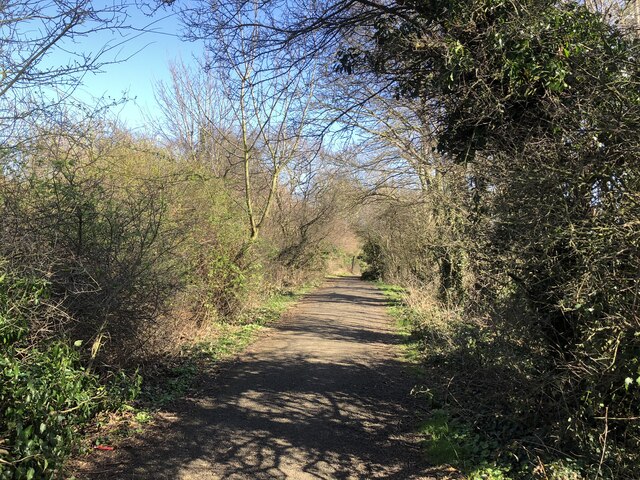
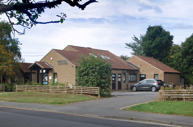
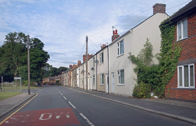
The village itself has a range of amenities, including a primary school, a medical center, a post office, and several shops and eateries. There are also several parks and green spaces, providing opportunities for outdoor activities and recreation.
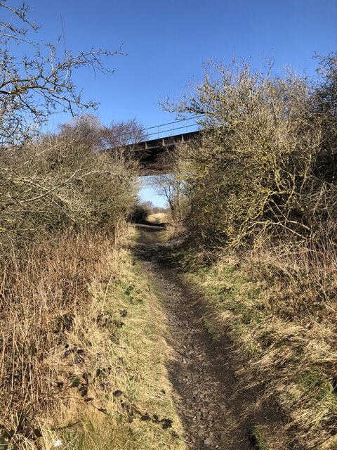
Belmont is rich in history, with a number of historical landmarks and buildings within its boundaries. One notable example is Belmont Viaduct, an impressive railway viaduct that was built in the 19th century and is now considered a Grade II listed structure.
Overall, Belmont offers a peaceful and picturesque setting for residents, with a close-knit community feel. Its convenient location and range of amenities make it an attractive place to live, while its natural beauty and historical significance add to its charm.
If you have any feedback on the listing, please let us know in the comments section below.
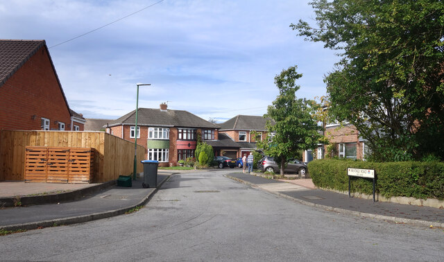
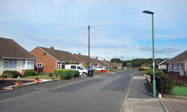
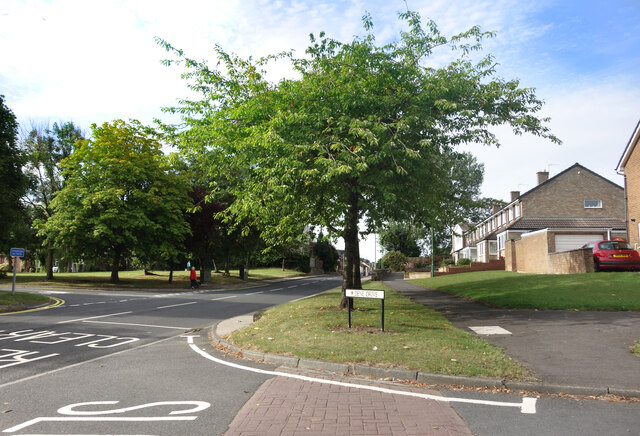
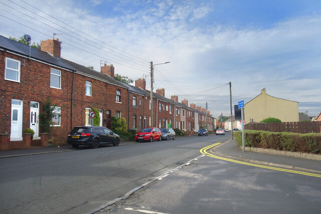
Belmont Images
Images are sourced within 2km of 54.78985/-1.532879 or Grid Reference NZ3043. Thanks to Geograph Open Source API. All images are credited.

Belmont is located at Grid Ref: NZ3043 (Lat: 54.78985, Lng: -1.532879)
Unitary Authority: County Durham
Police Authority: Durham
What 3 Words
///stow.harder.curl. Near Sherburn, Co. Durham
Related Wikis

Moor End, County Durham
Moor End is a place in County Durham, England. It is situated immediately to the east of Durham, close to Gilesgate Moor and Carrville. It is situated...
Belmont Community School
Belmont Community School is a comprehensive school in Belmont, County Durham, England. == Location == Belmont Community School is an 11-16 secondary school...

Belmont Junction railway station (Durham)
Belmont Junction railway station was a railway station that served the civil parish of Belmont in County Durham, North East England, from 1844 to 1857...
Belmont, County Durham
Belmont is a suburb forming the north-eastern parts of the city of Durham, England. Belmont Parish covers four old coal mining villages of Belmont, Carrville...
City of Durham (district)
The City of Durham was, from 1974 to 2009, a non-metropolitan district of County Durham in North East England, with the status of borough and city. �...
Brasside Pond
Brasside Pond is a Site of Special Scientific Interest just north of the city of Durham, England. The site occupies an area of former clay pits sandwiched...
Gilesgate
Gilesgate is a suburb of Durham in County Durham, England. It had a population at the 2011 census of 8,074.Gilesgate was originally the main street in...
Frankland railway station
Frankland railway station served the village of Brasside, County Durham, England, from 1861 to 1877 on the Leamside Line. == History == The station opened...
Related Videos


Umbrella Street at Prince Bishops Place in Durham #travel #citybreak #srilankansinuk
Head to Prince Bishops Place to see our amazing Umbrella Street once again! This year we have swapped the multi coloured ...
Nearby Amenities
Located within 500m of 54.78985,-1.532879Have you been to Belmont?
Leave your review of Belmont below (or comments, questions and feedback).