Bellingham
Civil Parish in Northumberland
England
Bellingham
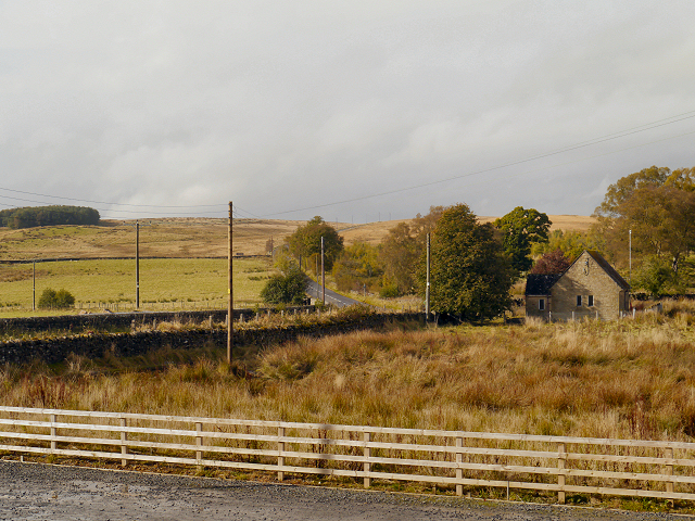
Bellingham is a civil parish located in the county of Northumberland, England. Situated in the North Tyne Valley, it lies in the heart of Northumberland National Park. The village of Bellingham serves as the administrative center for the parish and is nestled amidst stunning natural landscapes.
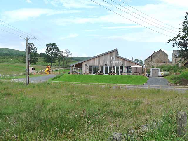
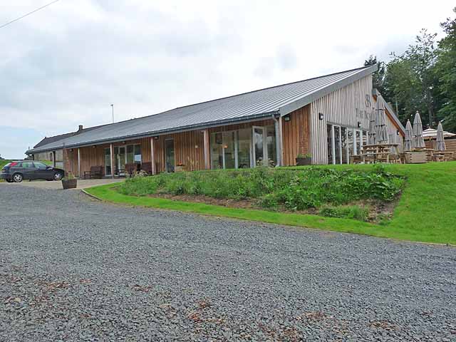
With a population of around 1,200 residents, Bellingham offers a close-knit community feel. The village is home to a range of amenities, including local shops, pubs, a post office, and a school. Bellingham also has a rich history, with evidence of human settlement dating back to Roman times. The nearby Hareshaw Linn waterfall, a designated nature reserve, is a popular attraction for visitors and locals alike.
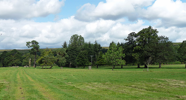
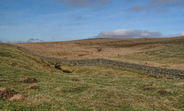
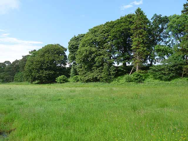
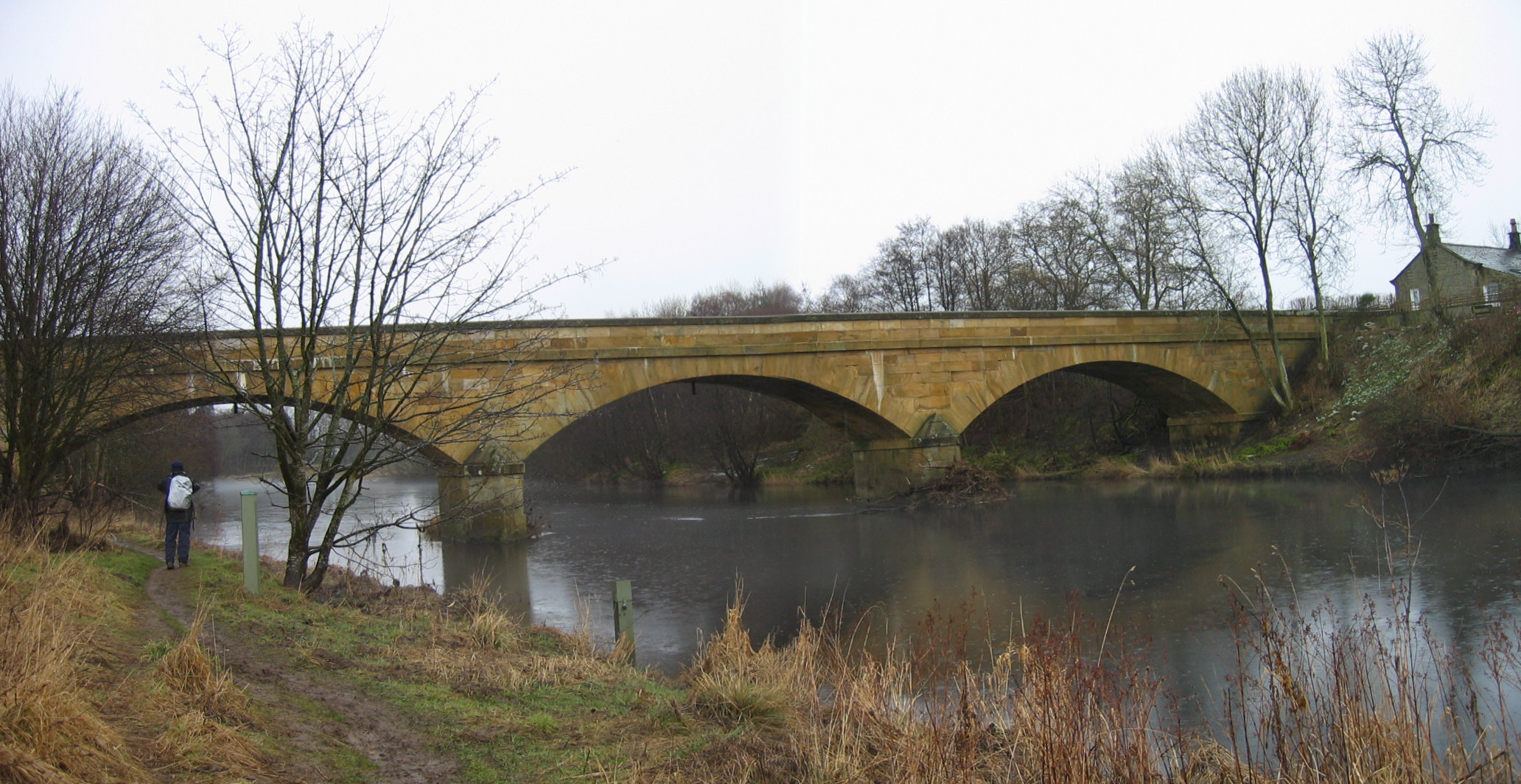
The surrounding countryside provides ample opportunities for outdoor activities. The North Tyne River runs through Bellingham, offering excellent fishing spots. The area is also a haven for walkers and hikers, with stunning trails such as the Pennine Way and Hadrian's Wall Path passing through or near the village. The expansive Northumberland National Park offers diverse landscapes, from rolling hills to dense forests, providing a picturesque backdrop for outdoor enthusiasts.
Bellingham is well-connected to other parts of Northumberland, with regular public transportation available. The village is approximately 30 miles northwest of Newcastle upon Tyne, making it accessible for day trips to the city.
Overall, Bellingham, Northumberland, is a charming rural parish that combines natural beauty, historical significance, and a close community spirit. It offers a peaceful retreat for those seeking a slower pace of life and a gateway to the stunning Northumberland countryside.
If you have any feedback on the listing, please let us know in the comments section below.
Bellingham Images
Images are sourced within 2km of 55.164391/-2.274299 or Grid Reference NY8285. Thanks to Geograph Open Source API. All images are credited.


Bellingham is located at Grid Ref: NY8285 (Lat: 55.164391, Lng: -2.274299)
Unitary Authority: Northumberland
Police Authority: Northumbria
What 3 Words
///milky.corporate.readily. Near Bellingham, Northumberland
Nearby Locations
Related Wikis

Charlton (Northumberland) railway station
Charlton railway station served the village of Charlton, Northumberland, England from 1861 to 1862 on the Border Counties Railway. == History == The station...
Charlton, Northumberland
Charlton is a village in Northumberland, England. It is about 1.5 miles (2.4 km) to the northwest of Bellingham, on the River North Tyne. == Governance... ==

Hesleyside Hall
Hesleyside Hall is a privately owned 18th-century country house and the ancestral home of the Border reiver Charlton family about 2 miles (3 km) west of...
Bellingham, Northumberland
Bellingham ( BEL-in-jəm) is a village and civil parish in Northumberland, to the north-west of Newcastle upon Tyne and is situated on the Hareshaw Burn...
Have you been to Bellingham?
Leave your review of Bellingham below (or comments, questions and feedback).