Bellerby
Civil Parish in Yorkshire Richmondshire
England
Bellerby

Bellerby is a small civil parish located in the Richmondshire district of North Yorkshire, England. Situated in the heart of the Yorkshire Dales National Park, it is surrounded by stunning natural beauty and offers a peaceful and idyllic setting for residents and visitors alike.
The parish covers an area of approximately 4.85 square miles and is home to a population of around 300 people. Bellerby is situated just 2 miles east of the market town of Leyburn and is easily accessible via the A684 road.
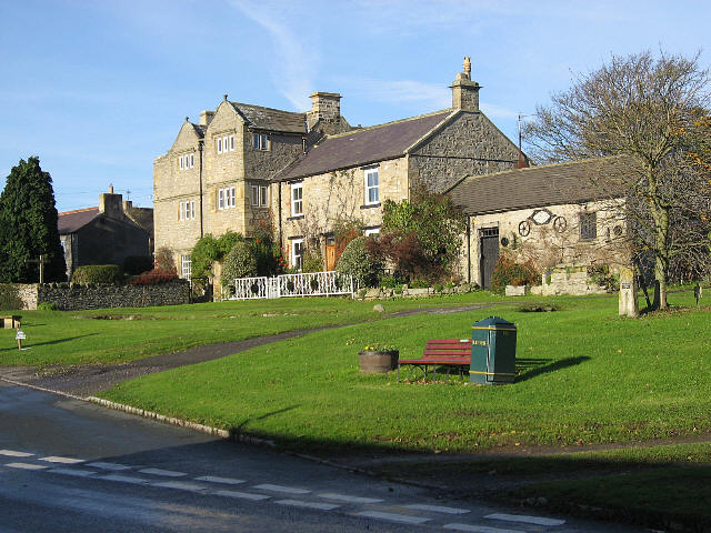
The village itself is characterized by its charming stone-built houses, many of which date back several centuries. The community is close-knit and friendly, with a strong sense of community spirit. Amenities within the parish include a village hall, a primary school, and a pub, providing essential services for residents.
One of the main attractions of Bellerby is its picturesque surroundings, which attract nature lovers and outdoor enthusiasts. The village is surrounded by rolling hills, lush meadows, and babbling brooks, making it a popular destination for hikers, cyclists, and those seeking a tranquil retreat.
Bellerby is also ideally located for exploring the wider Yorkshire Dales National Park, which offers a wealth of recreational activities. Nearby attractions include the historic Bolton Castle, the scenic Aysgarth Falls, and the bustling market towns of Hawes and Richmond.
Overall, Bellerby offers a delightful blend of rural charm, natural beauty, and a strong community spirit, making it a desirable place to live or visit in Yorkshire.
If you have any feedback on the listing, please let us know in the comments section below.
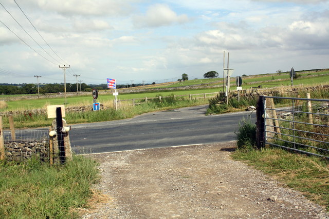
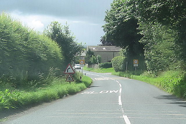
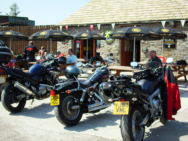
Bellerby Images
Images are sourced within 2km of 54.336152/-1.832328 or Grid Reference SE1193. Thanks to Geograph Open Source API. All images are credited.


Bellerby is located at Grid Ref: SE1193 (Lat: 54.336152, Lng: -1.832328)
Division: North Riding
Administrative County: North Yorkshire
District: Richmondshire
Police Authority: North Yorkshire
What 3 Words
///grafted.dislikes.straying. Near Leyburn, North Yorkshire
Nearby Locations
Related Wikis
Bellerby
Bellerby is a village and civil parish in North Yorkshire, England, about 7 miles (11 km) south-west of Richmond. The village has one pub, the Cross Keys...
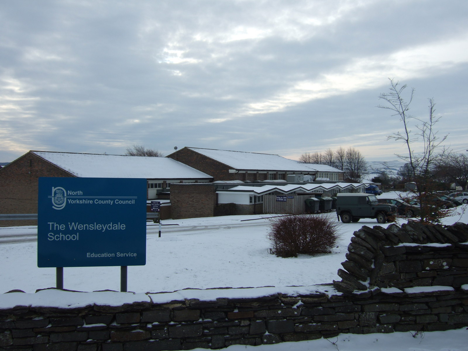
The Wensleydale School
The Wensleydale School and Sixth Form is a co-educational comprehensive school situated on Richmond Road, Leyburn, North Yorkshire, England. == History... ==

Walburn, North Yorkshire
Walburn is a hamlet and civil parish in North Yorkshire, England. It is located in lower Swaledale, 5 miles (8 km) south-west of Richmond. The population...
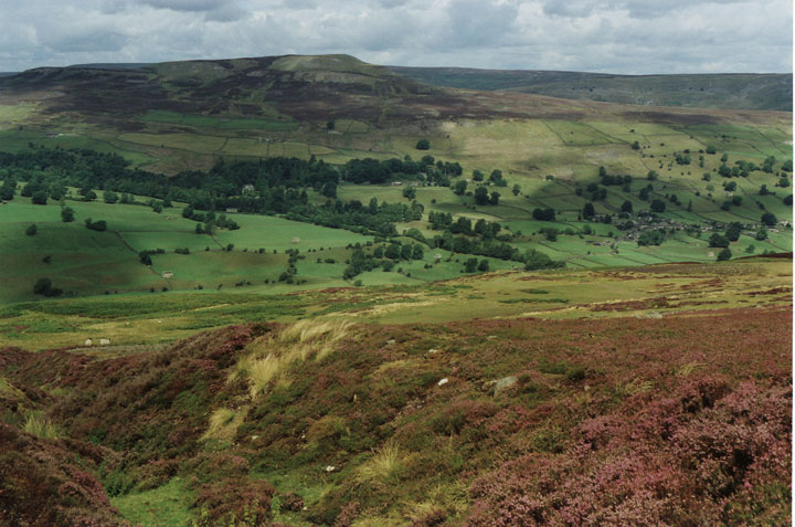
Swaledale
Swaledale is a valley in North Yorkshire, England. It is one of the Yorkshire Dales, which are part of the Pennines, and within the Yorkshire Dales National...
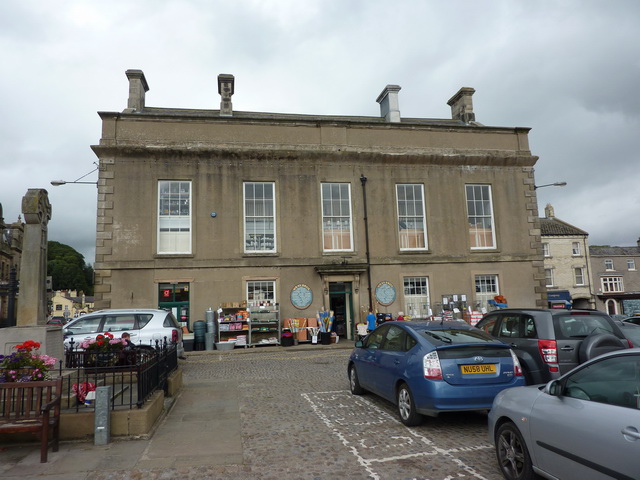
Leyburn Town Hall
Leyburn Town Hall is a municipal building in the Market Place, Leyburn, North Yorkshire, England. The structure, which is used for retail purposes and...
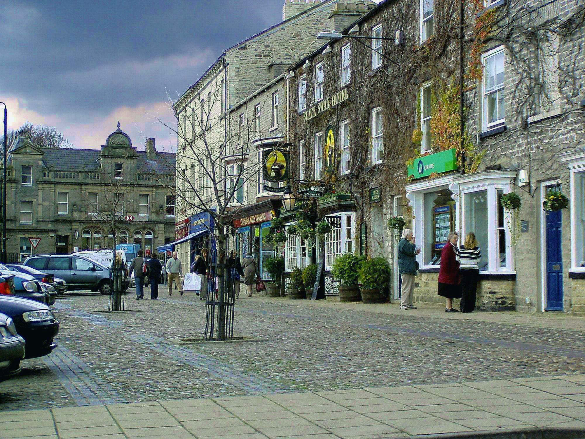
Leyburn
Leyburn is a market town and civil parish in North Yorkshire, England, sitting above the northern bank of the River Ure in Wensleydale. Historically in...

St Matthew's Church, Leyburn, North Yorkshire
The church of St Matthew Leyburn (also known as The Parish Church of St Matthew, Leyburn) is the parish church for Leyburn in North Yorkshire, England...

Stainton, west North Yorkshire
Stainton is a hamlet and civil parish in the North Yorkshire district of North Yorkshire, England. It is located just outside the Yorkshire Dales National...
Nearby Amenities
Located within 500m of 54.336152,-1.832328Have you been to Bellerby?
Leave your review of Bellerby below (or comments, questions and feedback).