Barwick in Elmet and Scholes
Civil Parish in Yorkshire Leeds
England
Barwick in Elmet and Scholes
Barwick in Elmet and Scholes is a civil parish located in the county of Yorkshire, England. It comprises two charming villages, Barwick in Elmet and Scholes, which are situated approximately 8 miles east of the city of Leeds. The parish covers an area of around 9 square miles and has a population of about 3,500 residents.
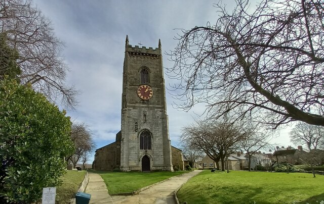
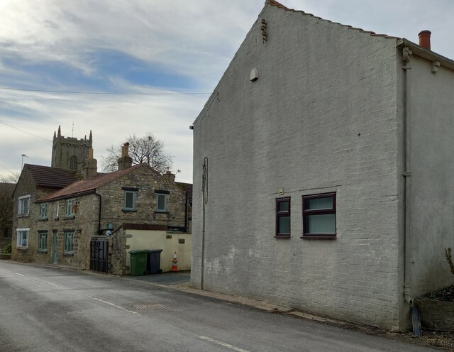
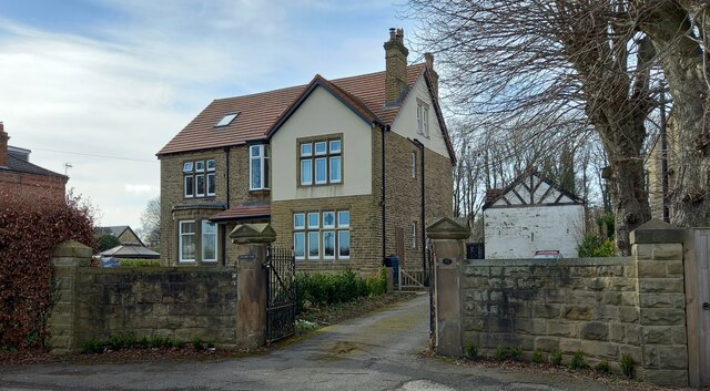
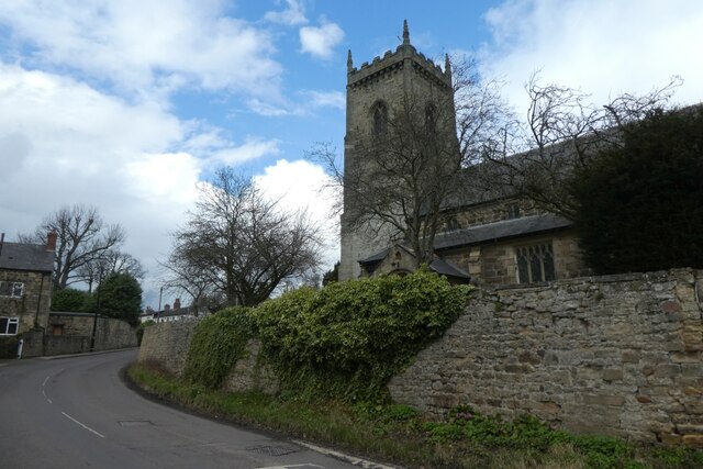
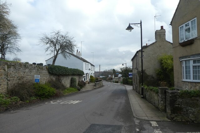
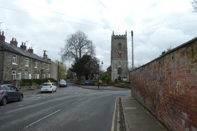
Barwick in Elmet, the larger of the two villages, is known for its picturesque setting and rich history. It is home to a variety of architectural styles, including traditional stone-built houses and thatched cottages. The village is famous for its 16th-century church, All Saints, which is a Grade I listed building. This historical landmark attracts visitors from far and wide.
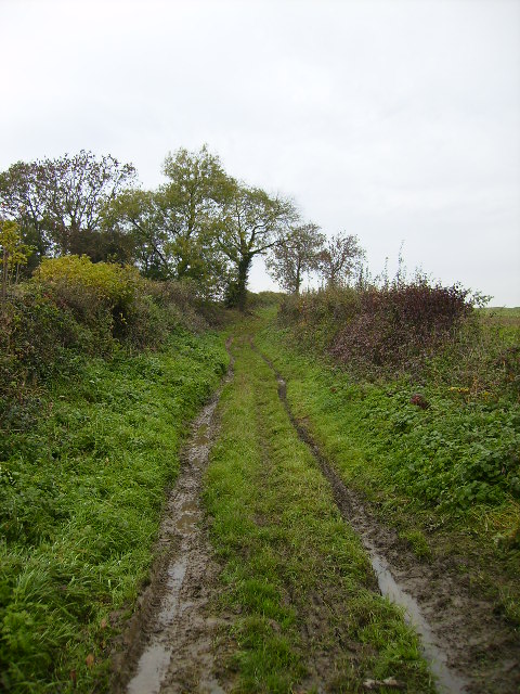
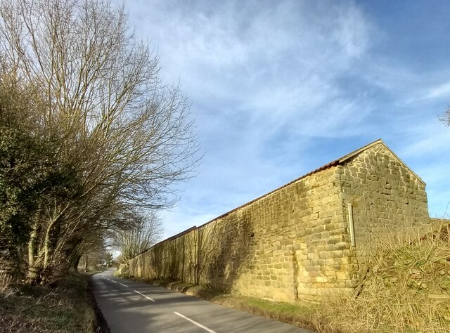
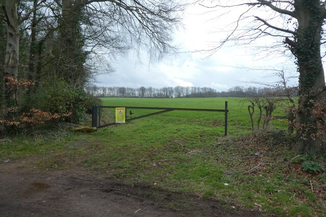
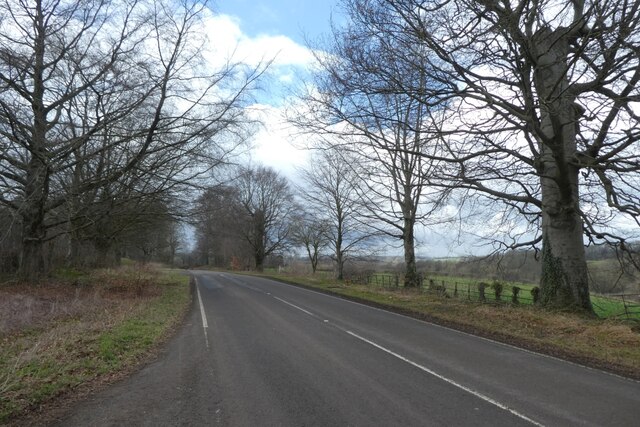
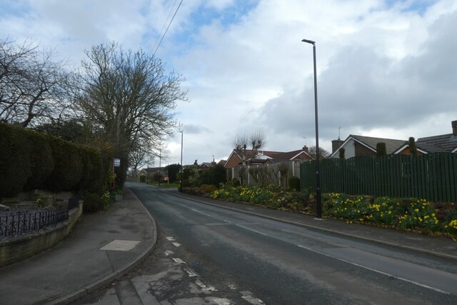
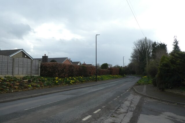
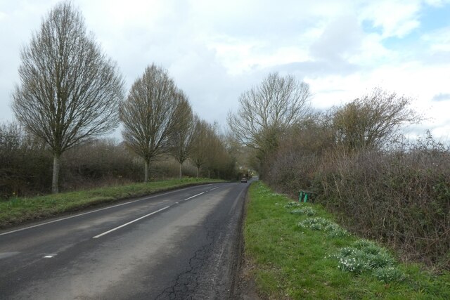
Scholes, on the other hand, is a smaller village with a tight-knit community atmosphere. It has a range of amenities, including a primary school, a village hall, and a few local shops and pubs. The village is surrounded by beautiful countryside, providing ample opportunities for outdoor activities such as walking and cycling.
The civil parish of Barwick in Elmet and Scholes offers a peaceful and idyllic lifestyle. Residents benefit from the proximity to Leeds, allowing for easy access to urban amenities while enjoying a more rural and tranquil environment. The area has a strong sense of community, with various local events and activities taking place throughout the year, fostering a close-knit community spirit.
If you have any feedback on the listing, please let us know in the comments section below.
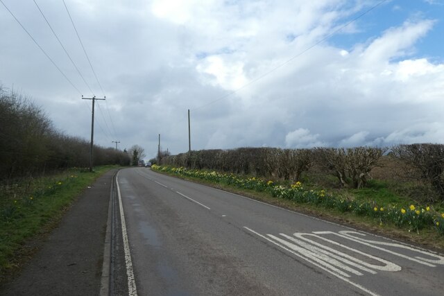
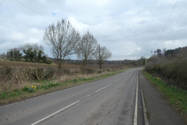
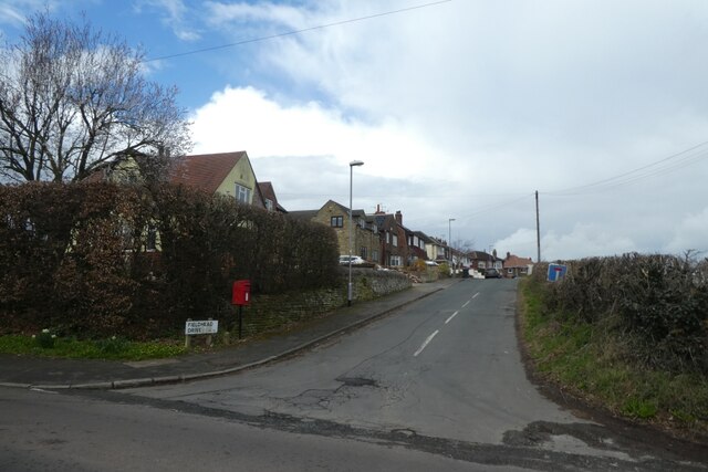
Barwick in Elmet and Scholes Images
Images are sourced within 2km of 53.835718/-1.400355 or Grid Reference SE3937. Thanks to Geograph Open Source API. All images are credited.

Barwick in Elmet and Scholes is located at Grid Ref: SE3937 (Lat: 53.835718, Lng: -1.400355)
Division: West Riding
Administrative County: West Yorkshire
District: Leeds
Police Authority: West Yorkshire
What 3 Words
///unscathed.shocked.machinery. Near Scholes, West Yorkshire
Nearby Locations
Related Wikis
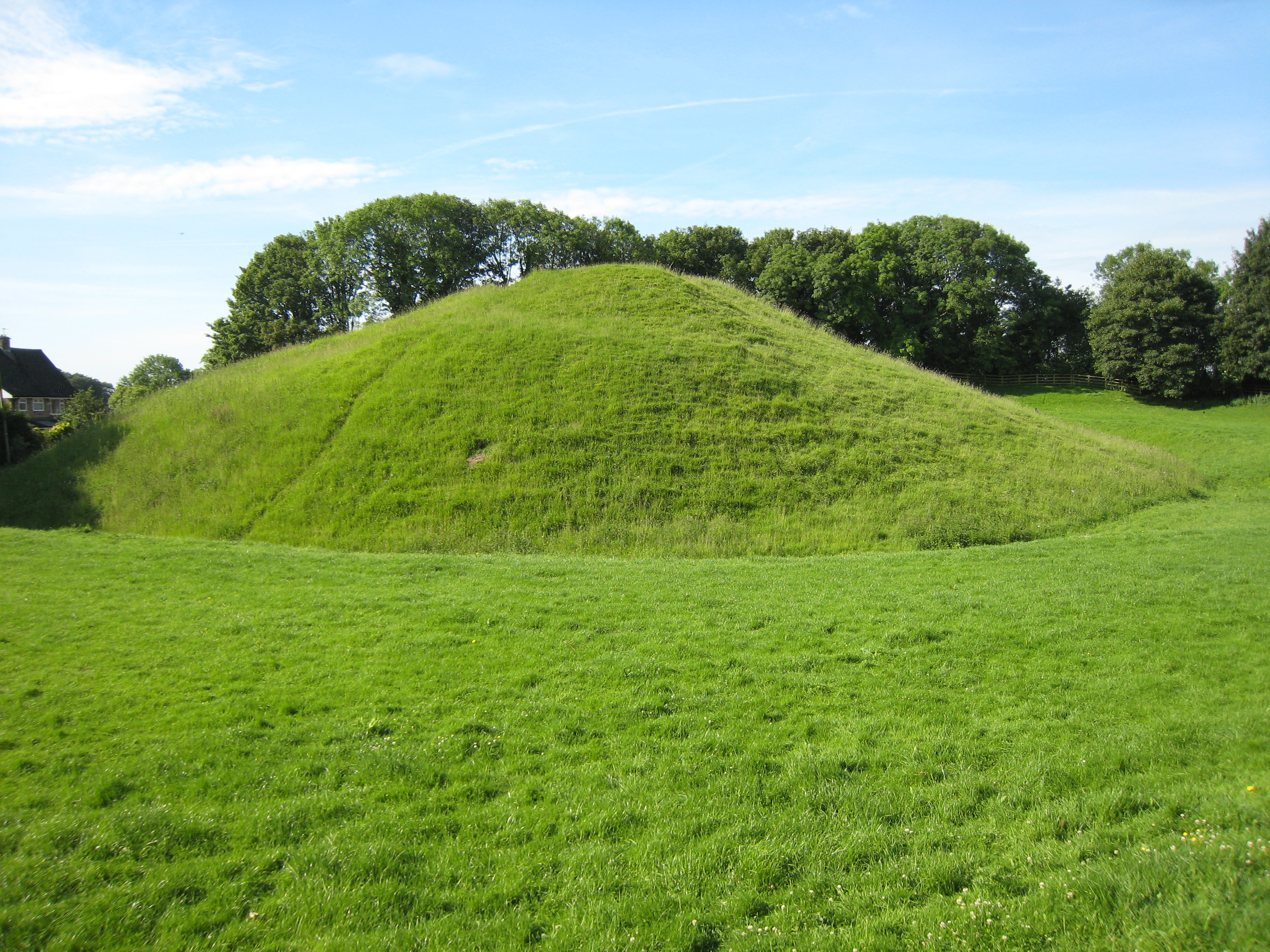
Barwick-in-Elmet Castle
Barwick-in-Elmet Castle was a fortification in the village of Barwick-in-Elmet, West Yorkshire, England to the east of Leeds (grid reference SE398375)...

Barwick-in-Elmet
Barwick-in-Elmet (pronounced Barrick-in-Elmet) is a village in West Yorkshire, 7 miles (11 km) east of Leeds city centre. It is one of only three places...
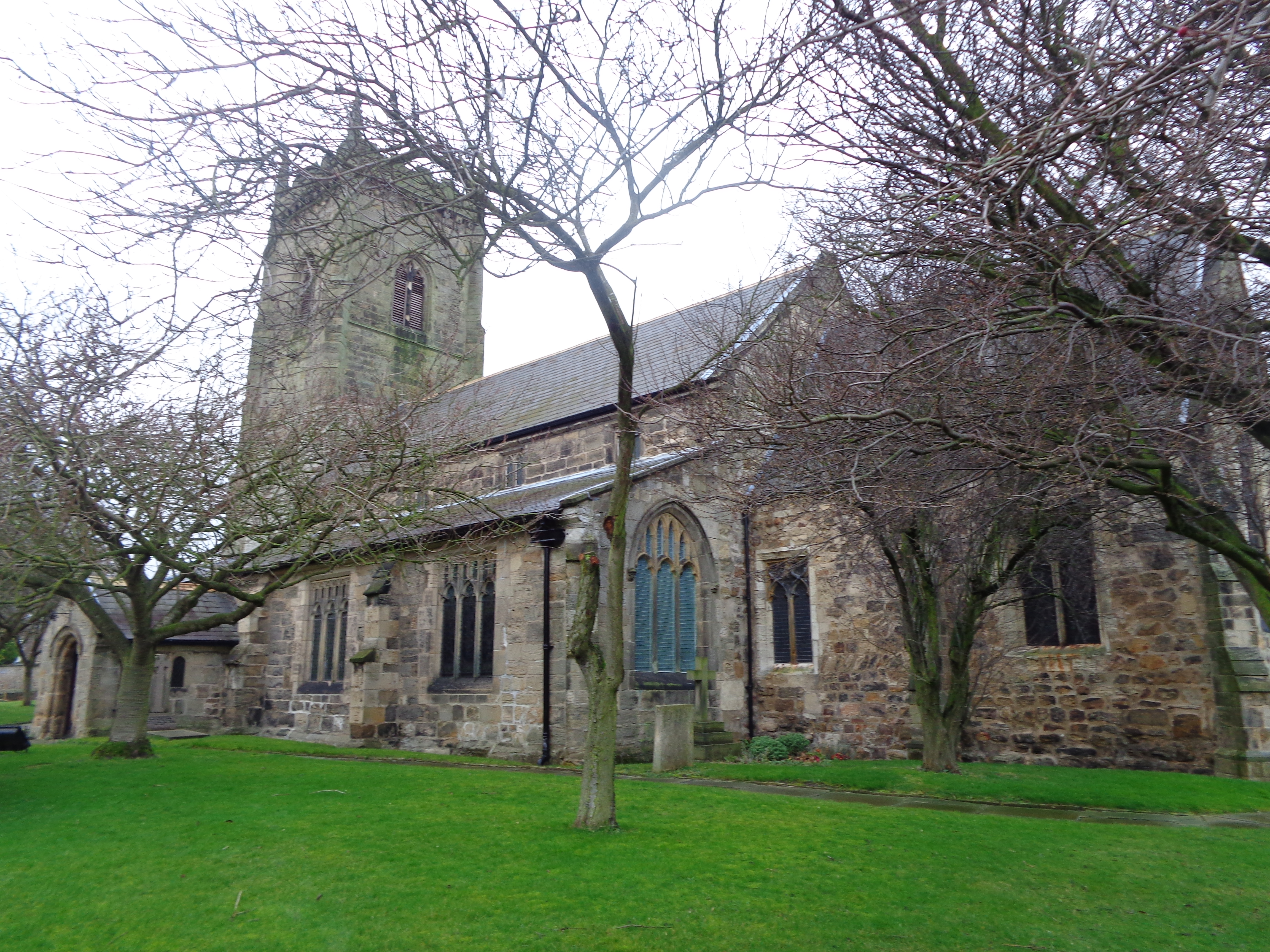
All Saints' Church, Barwick-in-Elmet
All Saints' Church in Barwick-in-Elmet, West Yorkshire, England is an active Anglican parish church in the archdeaconry of Leeds and the Diocese of Leeds...

Potterton, West Yorkshire
Potterton is a hamlet 1 mile (1.5 km) north of Barwick-in-Elmet in City of Leeds, West Yorkshire, England. It falls within the Harewood ward of the Leeds...

Battle of Seacroft Moor
The Battle of Seacroft Moor took place in Whinmoor moor near the village of Seacroft, north-east of Leeds in West Riding on 30 March 1643 during the First...

Barwick in Elmet and Scholes
Barwick in Elmet and Scholes is a civil parish in the City of Leeds metropolitan borough in West Yorkshire, England. According to the 2001 census it had...

Arthursdale
Arthursdale is an area within the village of Scholes in West Yorkshire, England. It is a small area immediately to the north of Rakehill Road in Scholes...

Elmet and Rothwell (UK Parliament constituency)
Elmet and Rothwell is a constituency in West Yorkshire represented in the House of Commons of the UK Parliament since its creation in 2010 by Alec Shelbrooke...
Nearby Amenities
Located within 500m of 53.835718,-1.400355Have you been to Barwick in Elmet and Scholes?
Leave your review of Barwick in Elmet and Scholes below (or comments, questions and feedback).