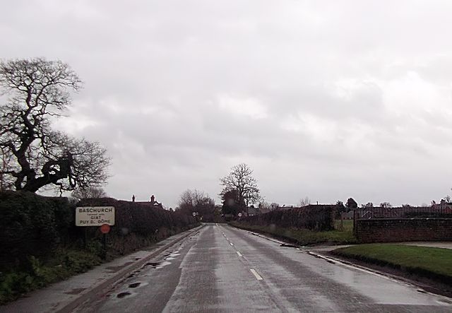
Baschurch
Civil Parish in Shropshire
England
Baschurch
Baschurch is a civil parish located in the county of Shropshire, England. Situated approximately 8 miles north-west of the county town of Shrewsbury, it covers an area of around 13 square kilometers. The parish is home to a population of around 1,500 residents.
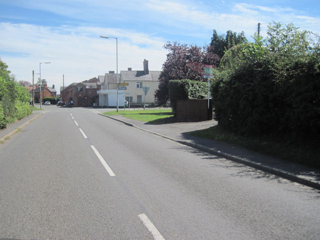
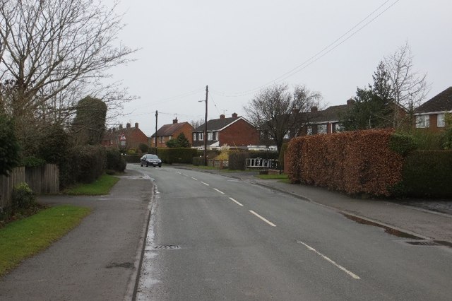
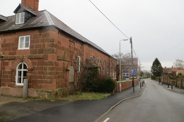
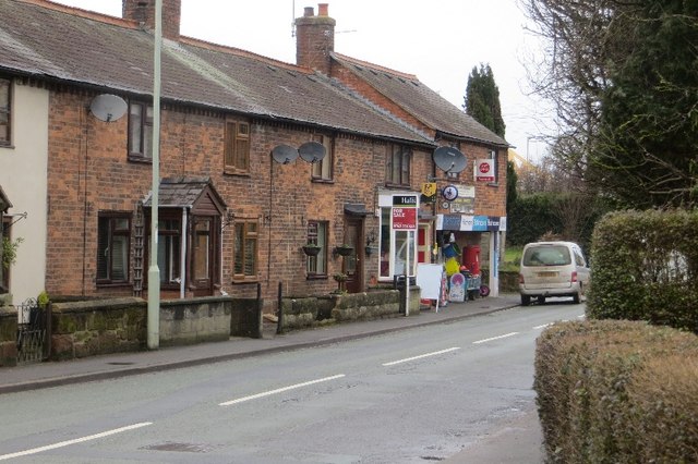
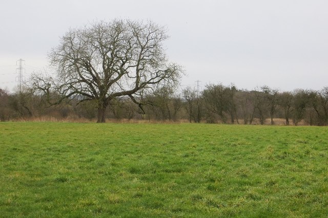
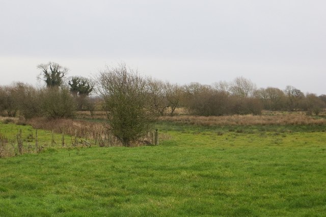
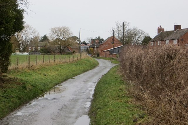
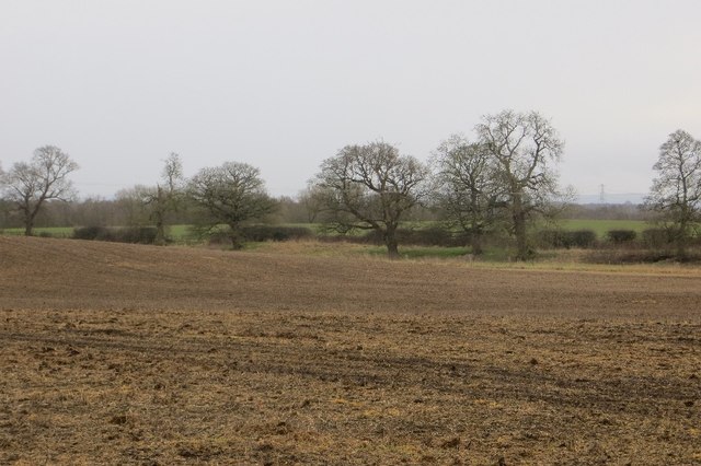
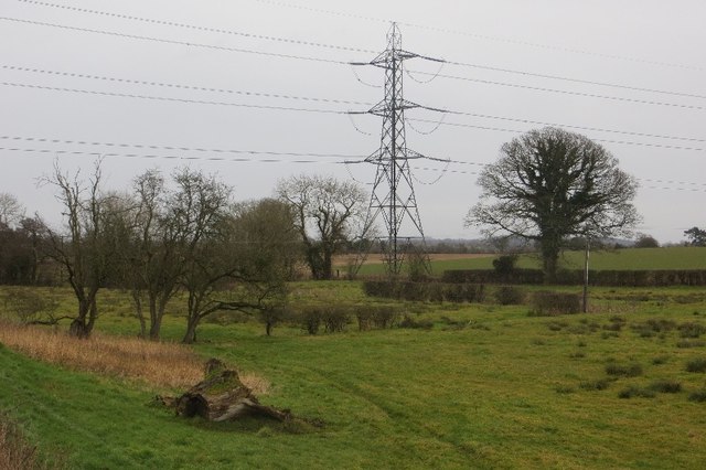
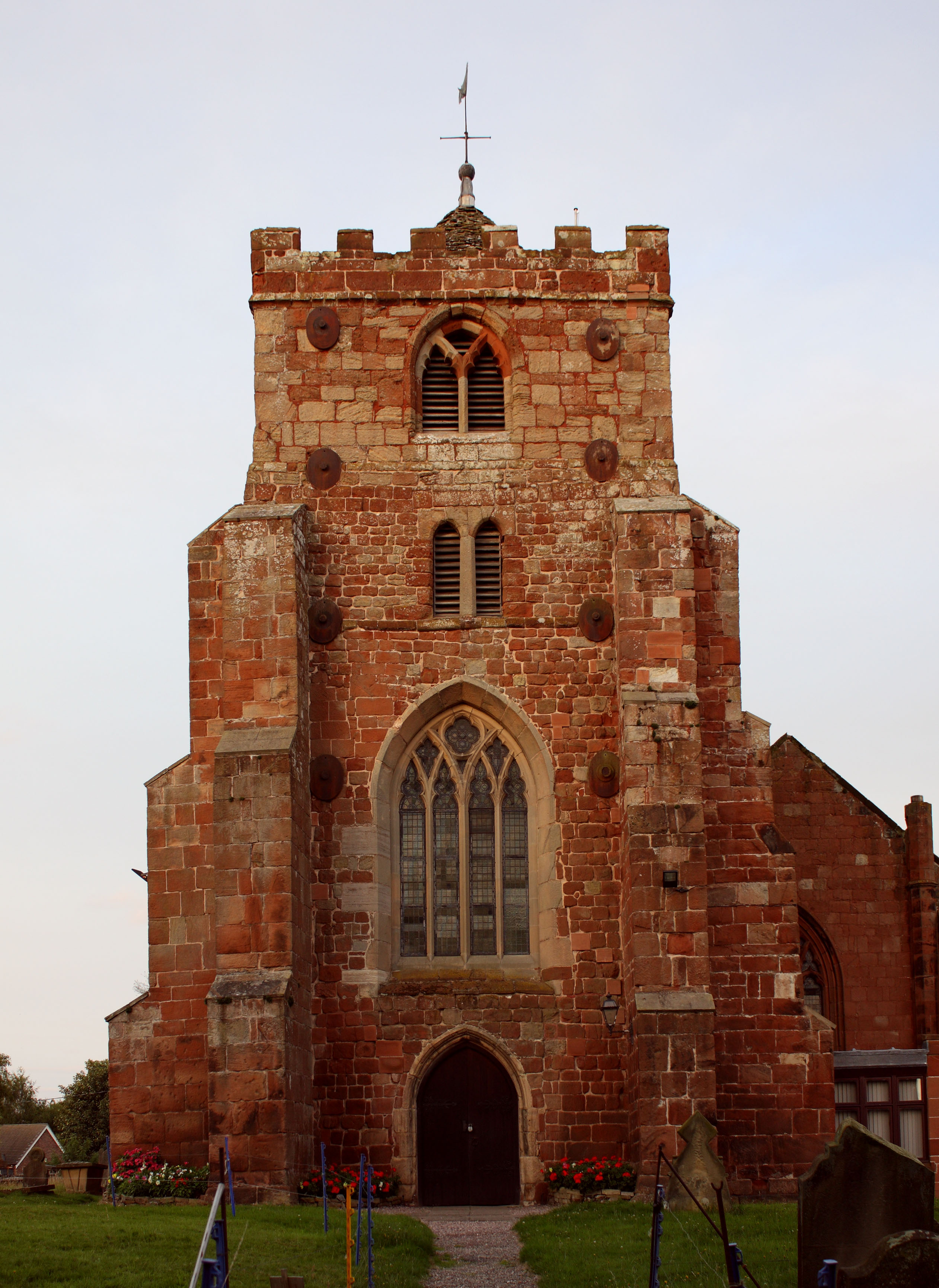
The village of Baschurch is the main settlement within the parish. It is surrounded by picturesque countryside, with rolling hills and farmland dominating the landscape. The village itself has a charming and historical atmosphere, with several listed buildings and a Grade I listed church, known as St. John the Baptist Church, dating back to the 12th century.
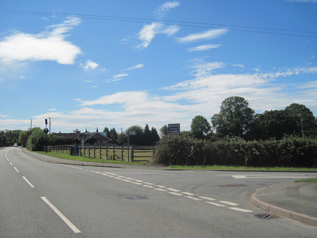
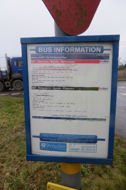
In terms of amenities, Baschurch offers a range of facilities to cater to the needs of its residents. These include a primary school, a medical practice, a village hall, a post office, and a selection of shops and eateries. The village also benefits from good transportation links, with regular bus services connecting it to Shrewsbury and other nearby towns.
The surrounding area provides ample opportunities for outdoor activities and exploration. Baschurch is located close to the Shropshire Hills Area of Outstanding Natural Beauty, offering stunning landscapes and walking trails for nature enthusiasts. The nearby Hawkstone Park and Follies is a popular tourist attraction, featuring a historic landscape with caves, cliffs, and grottos.
Overall, Baschurch is a picturesque civil parish with a rich history and a close-knit community. Its beautiful surroundings and range of amenities make it an attractive place to live or visit.
If you have any feedback on the listing, please let us know in the comments section below.
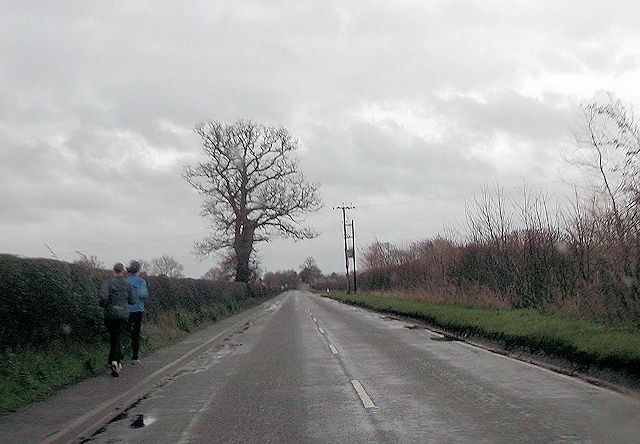
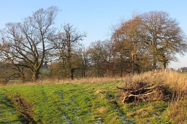
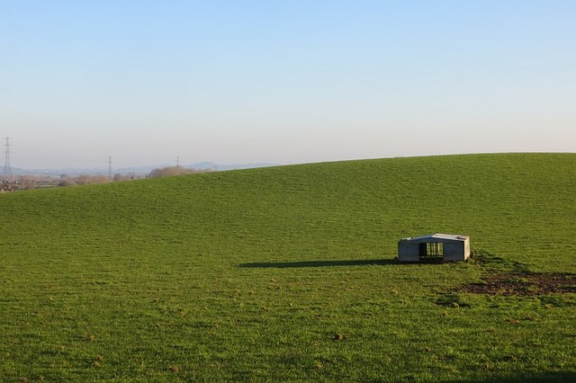
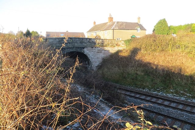
Baschurch Images
Images are sourced within 2km of 52.803052/-2.851139 or Grid Reference SJ4223. Thanks to Geograph Open Source API. All images are credited.
Baschurch is located at Grid Ref: SJ4223 (Lat: 52.803052, Lng: -2.851139)
Unitary Authority: Shropshire
Police Authority: West Mercia
What 3 Words
///rules.pelt.trucked. Near Baschurch, Shropshire
Nearby Locations
Related Wikis

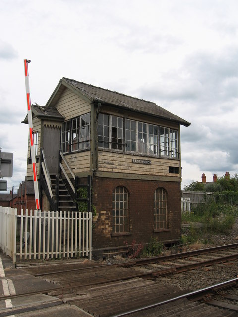
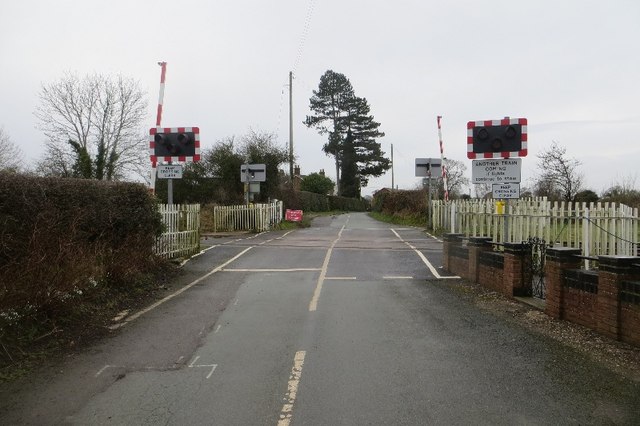
Baschurch railway station
Baschurch railway station was a minor station located about ten miles north of Shrewsbury on the GWR's Paddington to Birkenhead main line. Today this is...

The Corbet School
The Corbet School is a mixed secondary school located in Baschurch in the English county of Shropshire.Originally known as Baschurch Secondary Modern School...
Baschurch
Baschurch is a village and civil parish in Shropshire, England. It lies in the north of Shropshire. The village had a population of 2,503 as of the 2011...
Stanwardine Halt railway station
Stanwardine Halt was a minor station located north of Shrewsbury on the GWR's Paddington to Birkenhead main line. It was opened in the 1930s as part of...
Nearby Amenities
Located within 500m of 52.803052,-2.851139Have you been to Baschurch?
Leave your review of Baschurch below (or comments, questions and feedback).