Berth Pool
Lake, Pool, Pond, Freshwater Marsh in Shropshire
England
Berth Pool
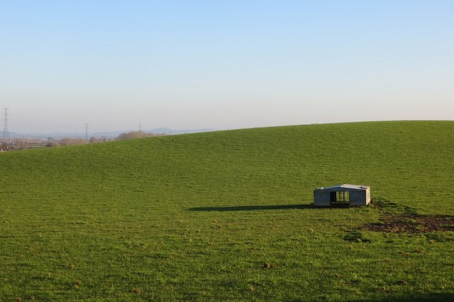
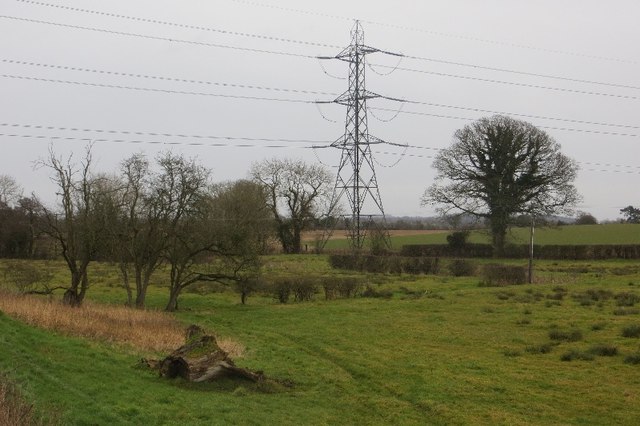
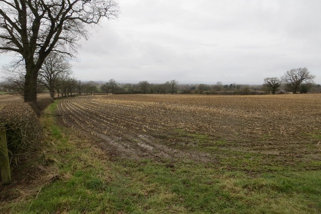
Berth Pool, located in Shropshire, England, is a freshwater lake renowned for its natural beauty and diverse ecosystem. Spanning an area of approximately 20 acres, the pool is nestled in the heart of the picturesque countryside, surrounded by lush greenery and rolling hills.
The pool itself is characterized by its crystal-clear water, which is sourced from natural springs and rainfall. The water is teeming with various species of fish, providing a haven for anglers and fishing enthusiasts. Carp, pike, roach, and tench are just a few of the fish that can be found in abundance within the pool.
Aside from its fishing opportunities, Berth Pool offers a tranquil environment for visitors to enjoy. Its peaceful atmosphere and stunning scenery make it a popular destination for nature lovers and bird watchers. The pool is home to a wide array of bird species, including herons, kingfishers, swans, and ducks. Bird hides and viewing platforms are strategically positioned around the pool to allow visitors to observe these beautiful creatures in their natural habitat.
The surrounding area of Berth Pool also boasts a freshwater marsh, which serves as a crucial habitat for wetland plants and wildlife. Reed beds, water lilies, and other aquatic vegetation thrive in this marsh, providing shelter and food for a variety of insects, amphibians, and waterfowl.
Berth Pool is not only a haven for wildlife but also offers recreational activities for visitors. Boating and kayaking are popular pastimes on the lake, allowing people to explore its tranquil waters at their leisure.
In conclusion, Berth Pool in Shropshire is a natural gem, offering a breathtaking landscape, diverse wildlife, and a range of recreational opportunities for all nature enthusiasts.
If you have any feedback on the listing, please let us know in the comments section below.
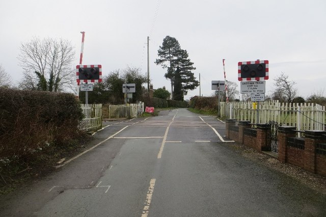
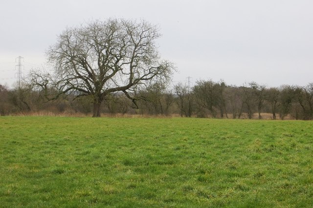
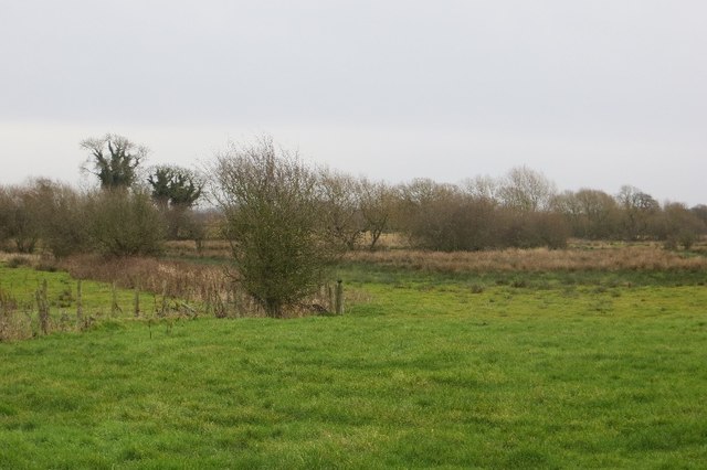
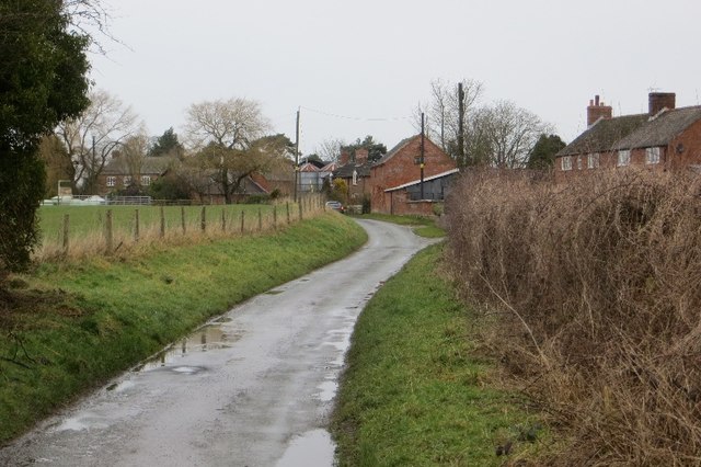
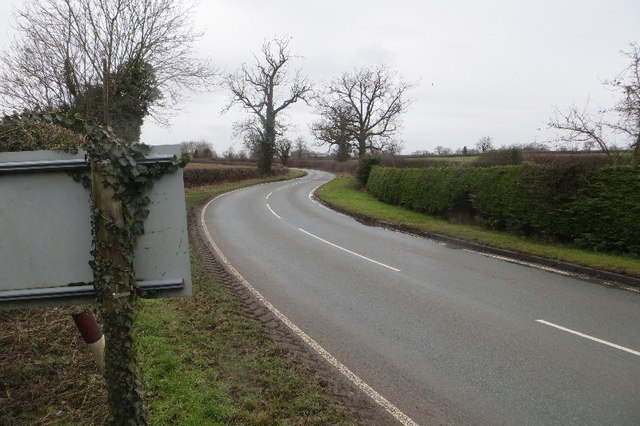
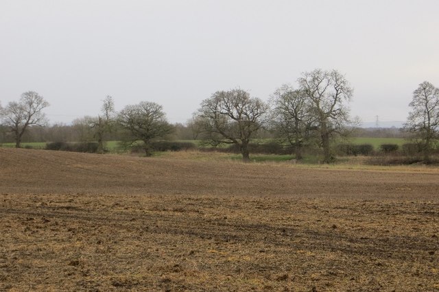
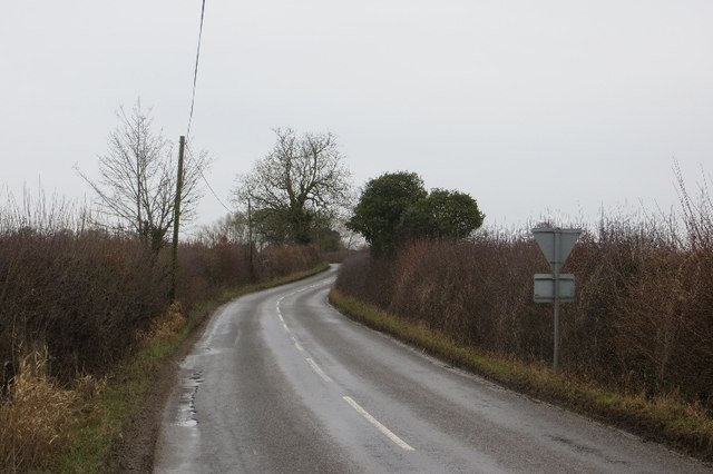
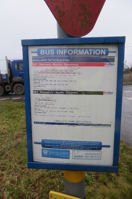
Berth Pool Images
Images are sourced within 2km of 52.805554/-2.8473635 or Grid Reference SJ4223. Thanks to Geograph Open Source API. All images are credited.
Berth Pool is located at Grid Ref: SJ4223 (Lat: 52.805554, Lng: -2.8473635)
Unitary Authority: Shropshire
Police Authority: West Mercia
What 3 Words
///soothing.outhouse.install. Near Baschurch, Shropshire
Nearby Locations
Related Wikis

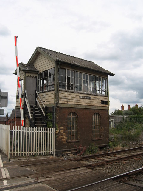
Baschurch railway station
Baschurch railway station was a minor station located about ten miles north of Shrewsbury on the GWR's Paddington to Birkenhead main line. Today this is...

The Corbet School
The Corbet School is a mixed secondary school located in Baschurch in the English county of Shropshire.Originally known as Baschurch Secondary Modern School...

Weston Lullingfields
Weston Lullingfields is a village in Shropshire, England. It is located about 15 km north west of Shrewsbury. The population as taken at the 2011 census...
Stanwardine Halt railway station
Stanwardine Halt was a minor station located north of Shrewsbury on the GWR's Paddington to Birkenhead main line. It was opened in the 1930s as part of...
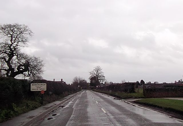
Baschurch
Baschurch is a village and civil parish in Shropshire, England. It lies in the north of Shropshire. The village had a population of 2,503 as of the 2011...

Walford, Shropshire
Walford is a small village in Shropshire, England. It is notable for its agricultural college (Walford and North Shropshire College). The B5067, Shrewsbury...

Petton, Shropshire
Petton is a small village and civil parish in Shropshire, England. It was mentioned in Domesday as "Peetone", a name probably derived from Old English...
Ruyton-XI-Towns
Ruyton-XI-Towns ( "ry-tən eleven towns"), formally Ruyton of the Eleven Towns or simply Ruyton, is a village and civil parish next to the River Perry in...
Nearby Amenities
Located within 500m of 52.805554,-2.8473635Have you been to Berth Pool?
Leave your review of Berth Pool below (or comments, questions and feedback).