Barwick and Stoford
Civil Parish in Somerset South Somerset
England
Barwick and Stoford
Barwick and Stoford is a civil parish located in the county of Somerset, England. It is situated approximately 3 miles southwest of Yeovil and covers an area of around 4 square miles. The parish is made up of two villages, Barwick and Stoford, which are separated by the River Yeo.
Barwick, the larger of the two villages, is a quintessential English village with a population of around 500 residents. It boasts a beautiful medieval church, St. Mary's Church, which dates back to the 13th century and is a prominent landmark in the area. The village also features a village hall, a primary school, and a couple of local shops and pubs.
Stoford, the smaller village, is located on the eastern side of the river. It has a population of approximately 200 residents and is known for its picturesque countryside views. The village is primarily residential, with a few small businesses and amenities scattered throughout.
The civil parish of Barwick and Stoford is surrounded by rolling hills and farmland, providing a peaceful and rural atmosphere. The area is popular among nature enthusiasts and walkers due to its scenic beauty and proximity to the countryside. It also offers easy access to nearby towns and cities, making it an attractive place for those seeking a balance between rural and urban lifestyles.
Overall, Barwick and Stoford is a charming civil parish that offers a close-knit community, historic landmarks, and stunning natural surroundings.
If you have any feedback on the listing, please let us know in the comments section below.
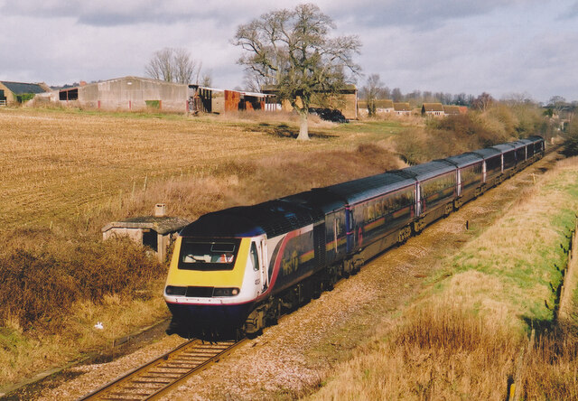
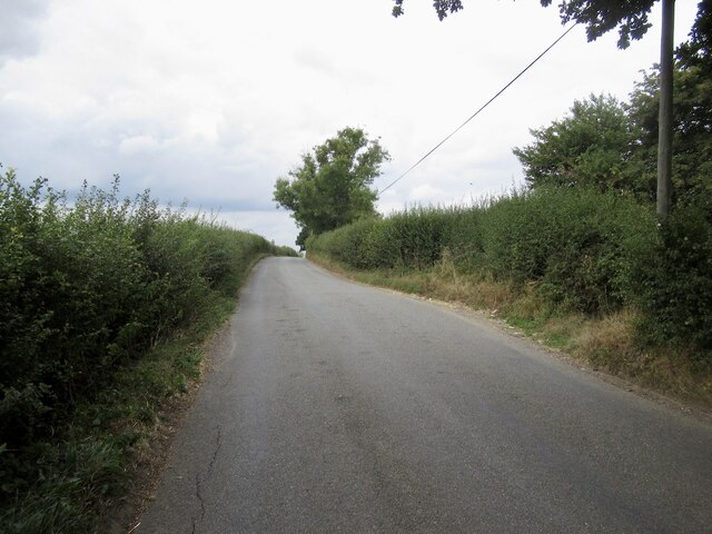
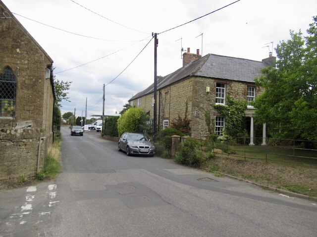
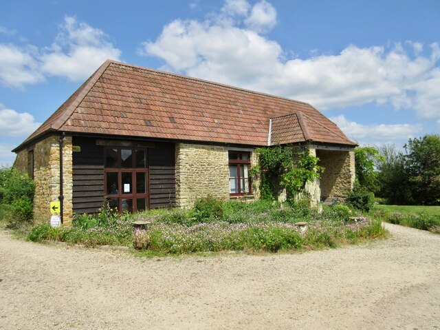
Barwick and Stoford Images
Images are sourced within 2km of 50.926329/-2.621645 or Grid Reference ST5614. Thanks to Geograph Open Source API. All images are credited.


Barwick and Stoford is located at Grid Ref: ST5614 (Lat: 50.926329, Lng: -2.621645)
Administrative County: Somerset
District: South Somerset
Police Authority: Avon and Somerset
What 3 Words
///sage.pushy.soccer. Near Yeovil, Somerset
Nearby Locations
Related Wikis

Barwick, Somerset
Barwick is a village and parish in Somerset, England, about 2 miles (3.2 km) south of Yeovil and on the border with Dorset. The parish, which includes...

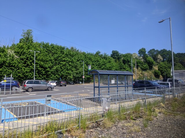
Yeovil Junction railway station
Yeovil Junction railway station is the busier, but less central, of two railway stations serving the town of Yeovil in England. The station is 2 miles...
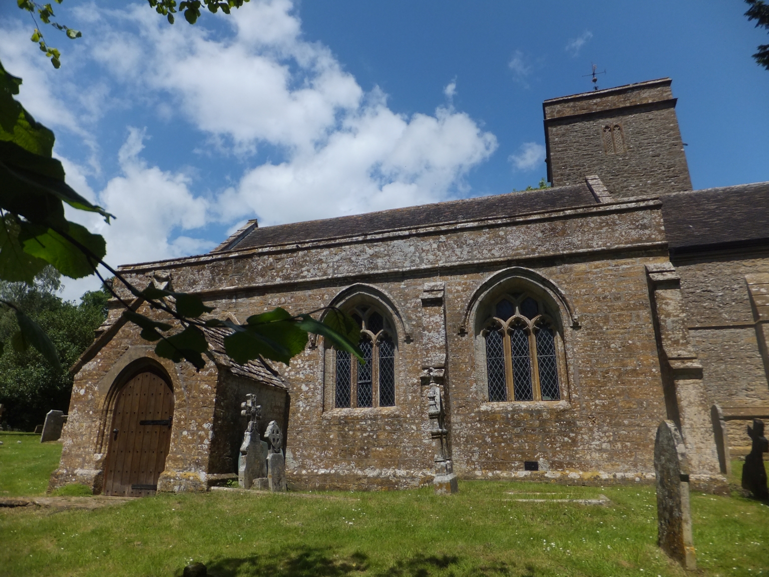
Church of St Mary Magdalene, Barwick
The Anglican Church of St Mary Magdalene in Barwick, Somerset, England was built in the 13th century. It is a Grade II* listed building. == History... ==
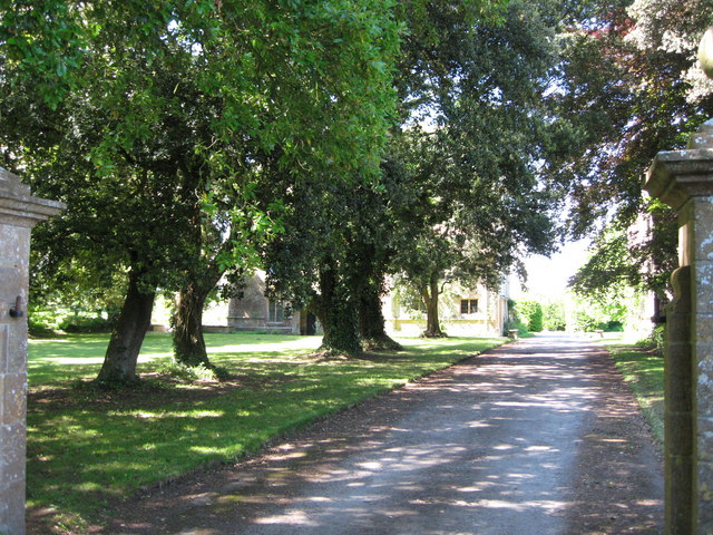
Newton Surmaville
Newton Surmaville is a 15,129-square-foot (1,405.5 m2) stately home with gardens and a park south of Yeovil, Somerset in the district of South Somerset...
Clifton Maybank
Clifton Maybank is a hamlet and civil parish in the English county of Dorset. It is located about a mile southwest of the village of Bradford Abbas. It...

Yeovil Town railway station
Yeovil Town railway station was a railway station serving the town of Yeovil in Somerset, England. The station was on the Yeovil to Taunton Line and also...
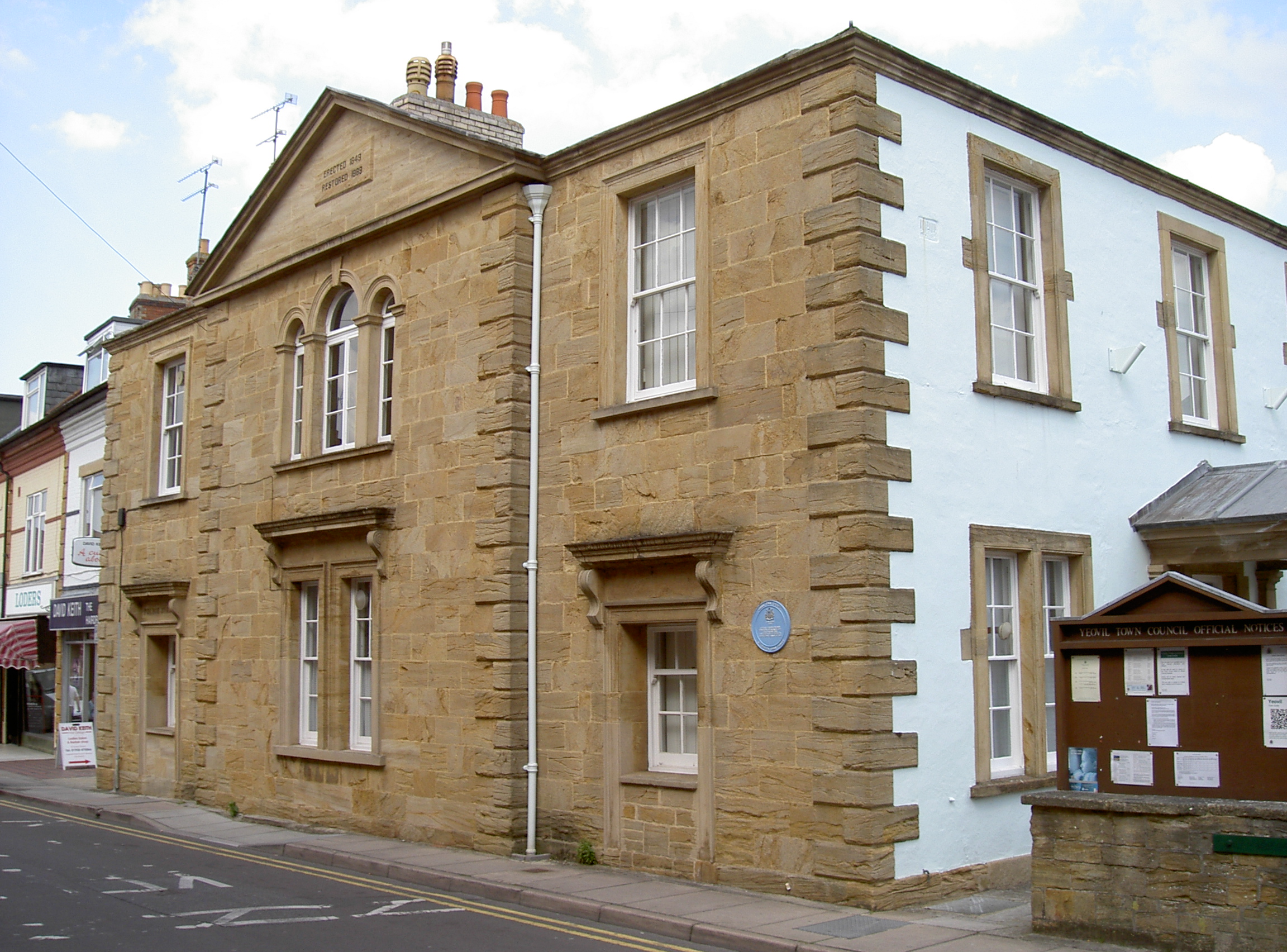
Yeovil Town House
The Town House is a municipal building in Union Street in Yeovil, Somerset, England. The building, which is the meeting place of Yeovil Town Council, is...

Church of St John the Baptist, Yeovil
The Church of St John the Baptist in Yeovil, Somerset, is a Church of England parish church. The church was built between 1380 and 1405, but was renovated...
Nearby Amenities
Located within 500m of 50.926329,-2.621645Have you been to Barwick and Stoford?
Leave your review of Barwick and Stoford below (or comments, questions and feedback).