Barwick

Civil Parish in Norfolk King's Lynn and West Norfolk

England

Barwick

The Duck Inn, Stanhoe The Duck Inn 'has been a pub since the 1700's' <span class="nowrap"><a title="https://duckinn.co.uk/" rel="nofollow ugc noopener" href="https://duckinn.co.uk/">Link</a><img style="margin-left:2px;" alt="External link" title="External link - shift click to open in new window" src="https://s1.geograph.org.uk/img/external.png" width="10" height="10"/></span> and serves meals made from local produce as well as catering for those who just want a drink.  The name is appropriate to a village which boasts a large duckpond nearby.  The pub stands on the Burnham Road at the very edge of the village.
The Duck Inn, Stanhoe Credit: HelenK

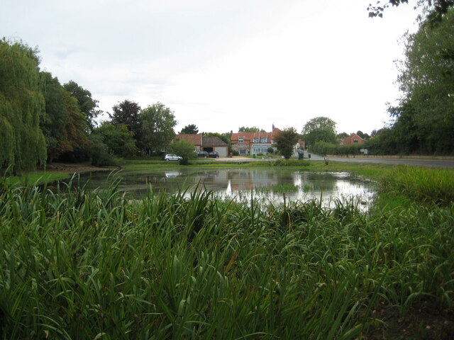
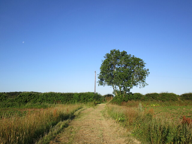
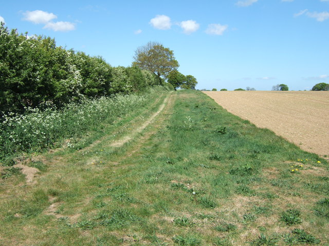
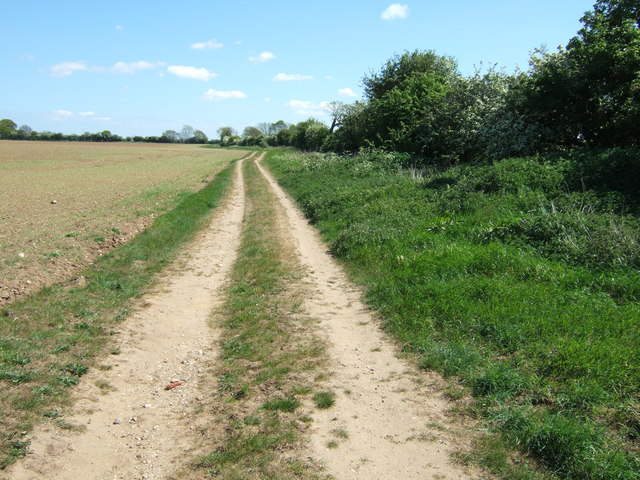
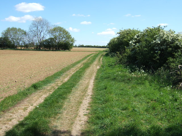
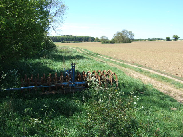
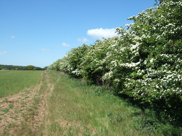
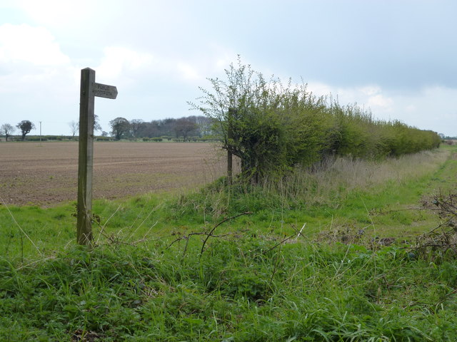
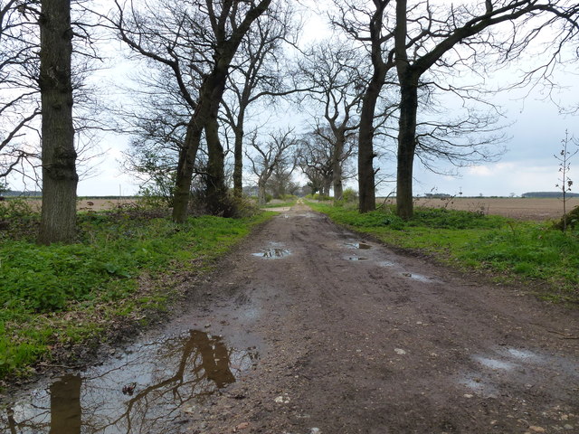
Barwick is a civil parish located in the county of Norfolk, England. Situated approximately 6 miles west of the market town of Fakenham, Barwick is a small and rural community with a population of around 150 residents. The parish is nestled in the picturesque countryside, surrounded by fields and farmland, offering a tranquil and idyllic setting.

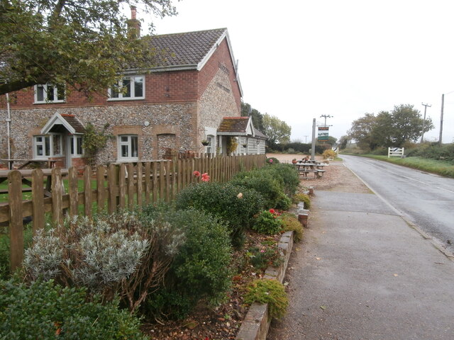
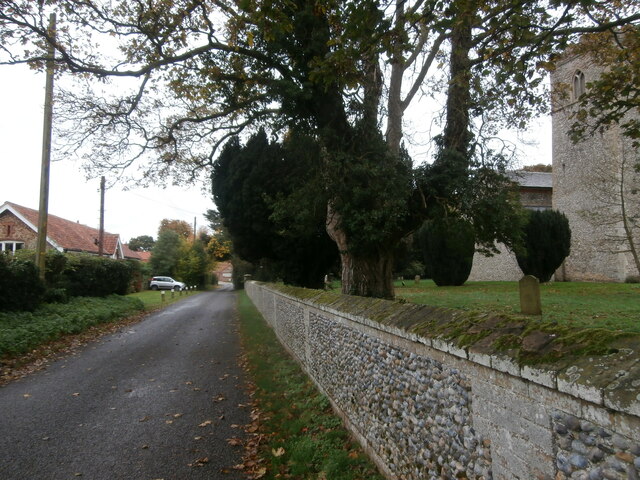
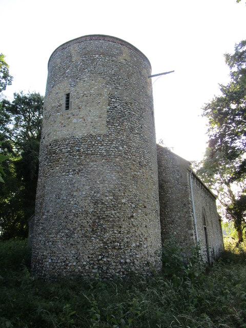
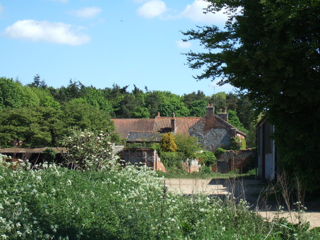
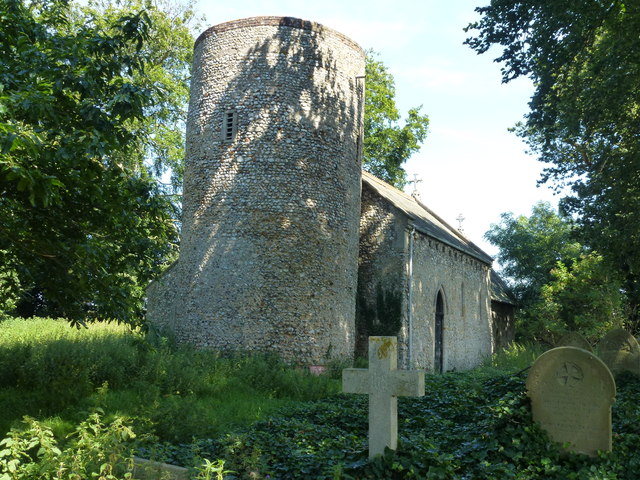
Barwick is characterized by its charming and traditional architecture, with many of the houses and buildings retaining their original features. The heart of the village is centered around the historic St. Mary's Church, which dates back to the 14th century and serves as a focal point for the community.

The parish is well-connected to nearby towns and cities, with good road links to Fakenham and the A148, providing easy access to Norwich, the county's capital, which is approximately 25 miles away. The village also benefits from a regular bus service, allowing residents to easily travel to neighboring areas.

Although Barwick is a small community, it boasts a strong sense of community spirit. The village has a well-maintained recreation ground, providing a space for residents to enjoy outdoor activities and socialize. Additionally, there is a village hall that hosts various events throughout the year, including community gatherings and fundraisers.

Overall, Barwick offers a peaceful and close-knit community for its residents, providing a rural escape while still being within reach of essential amenities and transport connections.

If you have any feedback on the listing, please let us know in the comments section below.

Barwick Images

Images are sourced within 2km of 52.884454/0.686167 or Grid Reference TF8035. Thanks to Geograph Open Source API. All images are credited.

The Duck Inn, Stanhoe The Duck Inn 'has been a pub since the 1700's' <span class="nowrap"><a title="https://duckinn.co.uk/" rel="nofollow ugc noopener" href="https://duckinn.co.uk/">Link</a><img style="margin-left:2px;" alt="External link" title="External link - shift click to open in new window" src="https://s1.geograph.org.uk/img/external.png" width="10" height="10"/></span> and serves meals made from local produce as well as catering for those who just want a drink.  The name is appropriate to a village which boasts a large duckpond nearby.  The pub stands on the Burnham Road at the very edge of the village.
The Duck Inn, Stanhoe
The Duck Inn 'has been a pub since the 1700's' LinkExternal link and serves meals made from local produce as well as catering for those who just want a drink. The name is appropriate to a village which boasts a large duckpond nearby. The pub stands on the Burnham Road at the very edge of the village.
Church Lane, Stanhoe On the right is All Saints' Church <span class="nowrap"><a title="https://stanhoe.org/church" rel="nofollow ugc noopener" href="https://stanhoe.org/church">Link</a><img style="margin-left:2px;" alt="External link" title="External link - shift click to open in new window" src="https://s1.geograph.org.uk/img/external.png" width="10" height="10"/></span> ; the materials used for the perimeter wall are characteristic of the area. On the left is the former school house, now a private home. A similar view of this road in past times can be seen at <span class="nowrap"><a title="https://stanhoe.org/gallery/picture.php?/1312/category/34" rel="nofollow ugc noopener" href="https://stanhoe.org/gallery/picture.php?/1312/category/34">Link</a><img style="margin-left:2px;" alt="External link" title="External link - shift click to open in new window" src="https://s1.geograph.org.uk/img/external.png" width="10" height="10"/></span>
Church Lane, Stanhoe
On the right is All Saints' Church LinkExternal link ; the materials used for the perimeter wall are characteristic of the area. On the left is the former school house, now a private home. A similar view of this road in past times can be seen at LinkExternal link
Village pond, Stanhoe The water level is low following a period of little rain.
Village pond, Stanhoe
The water level is low following a period of little rain.
The churchyard, Stanhoe
Footpath from the church at Barmer
All Saints' church, Barmer Hidden in an overgrown churchyard which has effectively become woodland.
The church is largely of the twelfth century <span class="nowrap"><a title="https://historicengland.org.uk/listing/the-list/list-entry/1077802?section=official-list-entry" rel="nofollow ugc noopener" href="https://historicengland.org.uk/listing/the-list/list-entry/1077802?section=official-list-entry">Link</a><img style="margin-left:2px;" alt="External link" title="External link - shift click to open in new window" src="https://s1.geograph.org.uk/img/external.png" width="10" height="10"/></span> and is maintained by the Norfolk Churches Trust <span class="nowrap"><a title="https://norfolkchurchestrust.org.uk/churches/barmer-all-saints/" rel="nofollow ugc noopener" href="https://norfolkchurchestrust.org.uk/churches/barmer-all-saints/">Link</a><img style="margin-left:2px;" alt="External link" title="External link - shift click to open in new window" src="https://s1.geograph.org.uk/img/external.png" width="10" height="10"/></span>
All Saints' church, Barmer
Hidden in an overgrown churchyard which has effectively become woodland. The church is largely of the twelfth century LinkExternal link and is maintained by the Norfolk Churches Trust LinkExternal link
Barmer Farm, Barmer North west of Syderstone in Norfolk
Barmer Farm, Barmer
North west of Syderstone in Norfolk
Large tank at Barmer Farm, Barmer Tank A - probably used for water storage at this farm north west of Syderstone
Large tank at Barmer Farm, Barmer
Tank A - probably used for water storage at this farm north west of Syderstone
Track north of Barmer in Norfolk
Not what's shown on the map! This track north east of Barmer in Norfolk is shown on OS maps as a metalled road. It is actually a deeply rutted track in places
Not what's shown on the map!
This track north east of Barmer in Norfolk is shown on OS maps as a metalled road. It is actually a deeply rutted track in places
Track shown as metalled road on map! North east of Barmer in Norfolk
Track shown as metalled road on map!
North east of Barmer in Norfolk
Cultivator and farmland North east of Barmer in Norfolk
Cultivator and farmland
North east of Barmer in Norfolk
Hawthorn hedge near Manor Ling North of Syderstone in Norfolk
Hawthorn hedge near Manor Ling
North of Syderstone in Norfolk
Public footpath near Little Barwick, Norfolk
Track near Little Barwick, Norfolk
Large puddle on the crossroads near Barmer, Norfolk A track goes off into the distance on the right of the hedge. According to O.S. maps there should be a metaled road crossing the track in the foreground but it is actually a badly rutted track/green lane prone to flooding.
Large puddle on the crossroads near Barmer, Norfolk
A track goes off into the distance on the right of the hedge. According to O.S. maps there should be a metaled road crossing the track in the foreground but it is actually a badly rutted track/green lane prone to flooding.
The Church of All Saints, Barmer, Norfolk A remote church surrounded by farmland with an uphill grass track leading to it from the busy road, see <a title="https://www.geograph.org.uk/photo/3078751" href="https://www.geograph.org.uk/photo/3078751">Link</a> There is no nearby parking and walking on the road from Barmer is not the safest walk in Norfolk. According to a sign which used to be on the tower, see <a title="https://www.geograph.org.uk/photo/525155" href="https://www.geograph.org.uk/photo/525155">Link</a> , but was on the ground covered with weeds, see <a title="https://www.geograph.org.uk/photo/3078730" href="https://www.geograph.org.uk/photo/3078730">Link</a> ,  the church is maintained by The Norfolk Churches Trust. Unfortunately it appears to be very neglected these days with just a rough narrow path to the locked main door. The graveyard is totally overgrown and choked with ivy and weeds making access to headstones impossible although externally the structure does look in good condition.
The Church of All Saints, Barmer, Norfolk
A remote church surrounded by farmland with an uphill grass track leading to it from the busy road, see Link There is no nearby parking and walking on the road from Barmer is not the safest walk in Norfolk. According to a sign which used to be on the tower, see Link , but was on the ground covered with weeds, see Link , the church is maintained by The Norfolk Churches Trust. Unfortunately it appears to be very neglected these days with just a rough narrow path to the locked main door. The graveyard is totally overgrown and choked with ivy and weeds making access to headstones impossible although externally the structure does look in good condition.
maintained by the NORFOLK CHURCHES TRUST The Church of All Saints, BARMER. Currently lacking in maintenance and Glory
maintained by the NORFOLK CHURCHES TRUST
The Church of All Saints, BARMER. Currently lacking in maintenance and Glory
Show me another place!

Barwick is located at Grid Ref: TF8035 (Lat: 52.884454, Lng: 0.686167)

Administrative County: Norfolk

District: King's Lynn and West Norfolk

Police Authority: Norfolk

What 3 Words

///renovated.drilling.contracts. Near Snettisham, Norfolk

Related Wikis

Barwick, Norfolk

Barwick is a scattered hamlet and civil parish in the north-west part of the English county of Norfolk. It is situated adjacent to the slightly larger...

Stanhoe

Stanhoe is a village and civil parish in the English county of Norfolk, 6.4 miles (10.2 km) from the North Sea. It covers an area of 6.06 km2 (2.34 sq...

Bagthorpe with Barmer

Bagthorpe with Barmer is a civil parish in the English county of Norfolk. The parish includes the hamlets of Bagthorpe and Barmer, it is around 7+1⁄2 miles...

RAF Bircham Newton

Royal Air Force Bircham Newton or more simply RAF Bircham Newton is a former Royal Air Force station located 2.1 miles (3.4 km) south east of Docking,...

Syderstone

Syderstone is a civil parish in the English county of Norfolk, near the town of Fakenham. It has an area of 9.94 km2 (3.84 sq mi). The population of 532...

Stanhoe railway station

Stanhoe was a railway station which served the village of Stanhoe in Norfolk, England. Opened by the West Norfolk Junction Railway in 1866, it closed to...

Bloodgate Hill Iron Age Fort

The Bloodgate Hill Iron Age Fort is an Iron Age hill fort in Norfolk, England, situated on a hill above the village of South Creake in the north of the...

Bircham Tofts

Bircham Tofts is one of the three villages that make up the civil parish of Bircham, in the west of the English county of Norfolk. The village is located...

Nearby Amenities

Located within 500m of 52.884454,0.686167
Great Barwick
Note: Deserted medieval hamlets
Place: hamlet
Lat/Long: 52.8849198/0.6882292
Give Way
Lat/Long: 52.8834209/0.6844131
Give Way
Lat/Long: 52.8833327/0.6841539
Give Way
Lat/Long: 52.8834863/0.6842411
The data included in this document is from www.openstreetmap.org. The data is made available under ODbL.

Have you been to Barwick?

Leave your review of Barwick below (or comments, questions and feedback).