Little Barwick

Settlement in Norfolk King's Lynn and West Norfolk

England

Little Barwick

The Duck Inn, Stanhoe The Duck Inn 'has been a pub since the 1700's' <span class="nowrap"><a title="https://duckinn.co.uk/" rel="nofollow ugc noopener" href="https://duckinn.co.uk/">Link</a><img style="margin-left:2px;" alt="External link" title="External link - shift click to open in new window" src="https://s1.geograph.org.uk/img/external.png" width="10" height="10"/></span> and serves meals made from local produce as well as catering for those who just want a drink.  The name is appropriate to a village which boasts a large duckpond nearby.  The pub stands on the Burnham Road at the very edge of the village.
The Duck Inn, Stanhoe Credit: HelenK

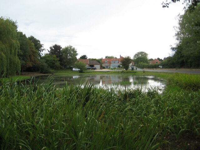
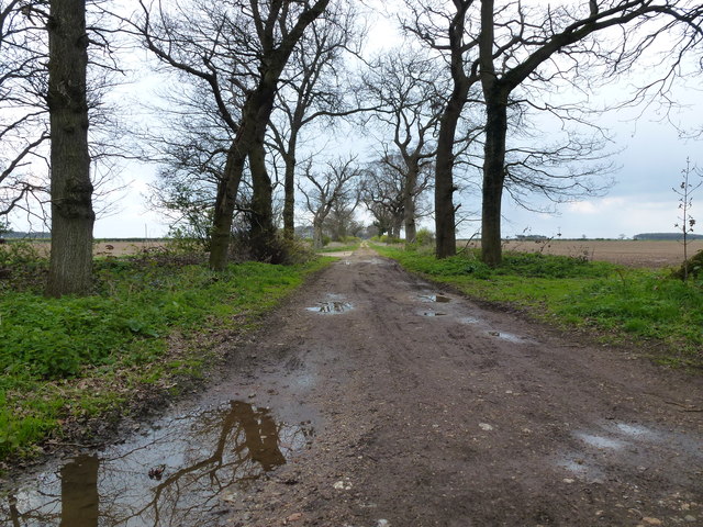
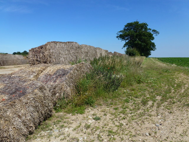
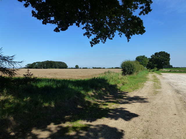
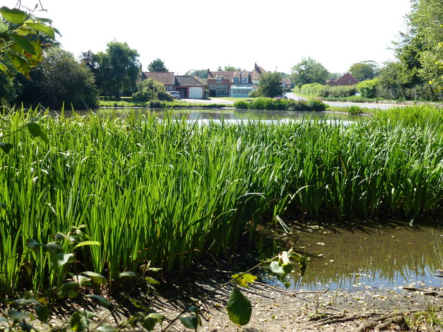
Little Barwick is a small village located in the county of Norfolk, England. Situated approximately 6 miles south of the market town of Fakenham, it falls within the civil parish of Barwick. The village is nestled amidst picturesque countryside, with rolling hills and fields surrounding it, providing a tranquil and idyllic setting.

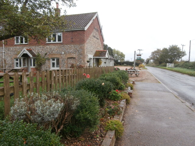
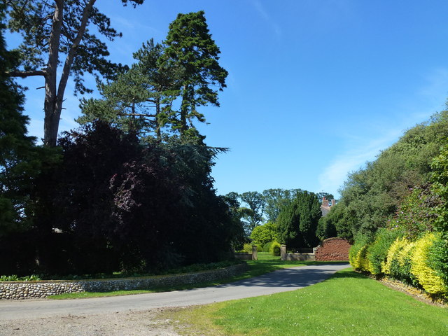
Little Barwick is characterized by its traditional rural architecture, with a mix of quaint cottages and larger farmhouses dotting the landscape. The village is known for its tight-knit community and friendly atmosphere, with a population of around 150 residents.

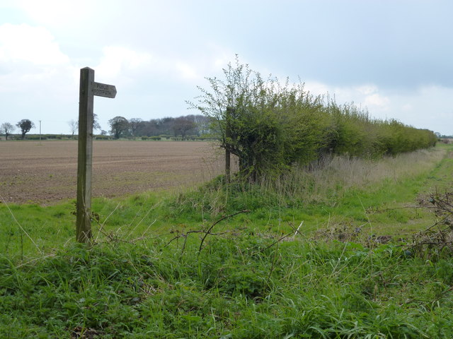
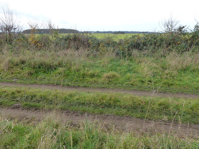
The village lacks amenities such as shops and schools, but its close proximity to Fakenham ensures easy access to a range of facilities and services. The village is surrounded by a network of footpaths and bridleways, making it an ideal location for nature lovers and outdoor enthusiasts.

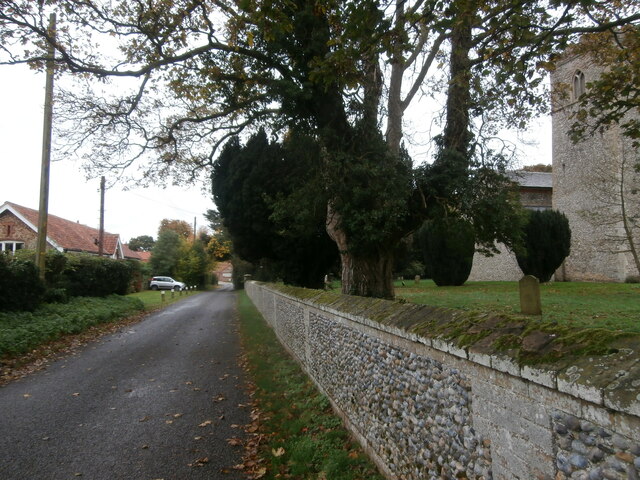
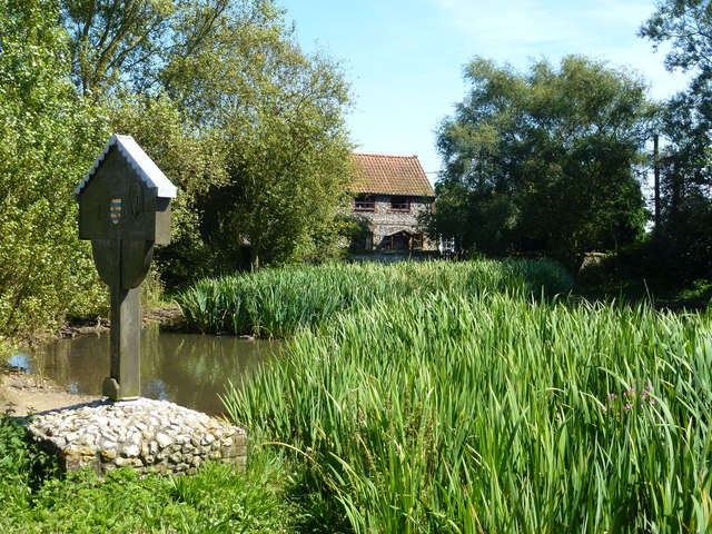
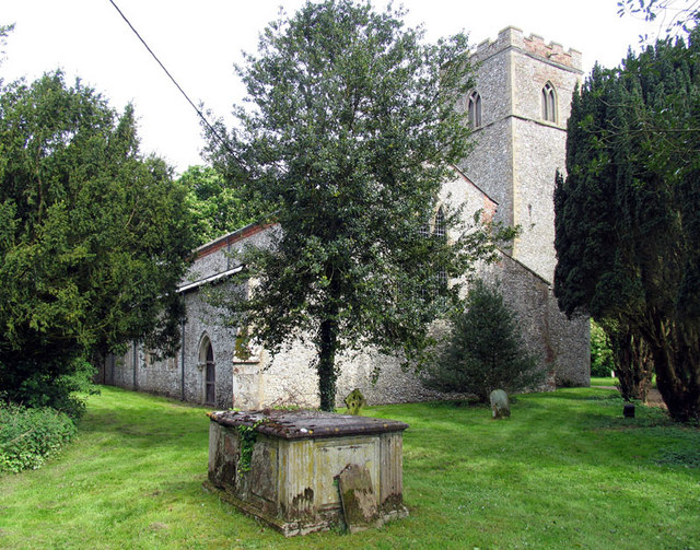
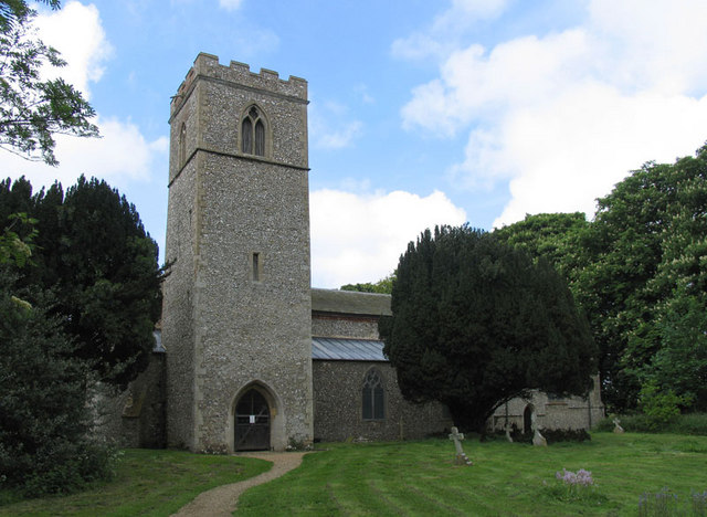
Historically, Little Barwick has a rich heritage, with evidence of human occupation dating back to Roman times. The village has several listed buildings, including the Grade II* listed St. Andrew's Church, which dates back to the 14th century and serves as a focal point for the community.

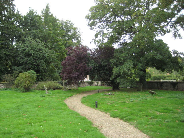
Overall, Little Barwick offers a peaceful and picturesque retreat for those seeking a rural lifestyle, while still being within reach of larger towns and amenities. Its natural beauty, historic charm, and strong sense of community make it a desirable place to reside in Norfolk.

If you have any feedback on the listing, please let us know in the comments section below.

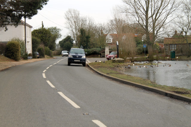
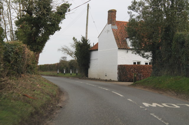
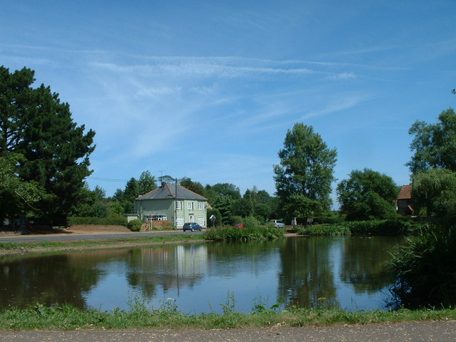
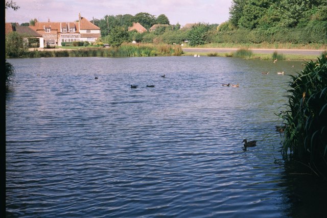
Little Barwick Images

Images are sourced within 2km of 52.890533/0.68014797 or Grid Reference TF8035. Thanks to Geograph Open Source API. All images are credited.

The Duck Inn, Stanhoe The Duck Inn 'has been a pub since the 1700's' <span class="nowrap"><a title="https://duckinn.co.uk/" rel="nofollow ugc noopener" href="https://duckinn.co.uk/">Link</a><img style="margin-left:2px;" alt="External link" title="External link - shift click to open in new window" src="https://s1.geograph.org.uk/img/external.png" width="10" height="10"/></span> and serves meals made from local produce as well as catering for those who just want a drink.  The name is appropriate to a village which boasts a large duckpond nearby.  The pub stands on the Burnham Road at the very edge of the village.
The Duck Inn, Stanhoe
The Duck Inn 'has been a pub since the 1700's' LinkExternal link and serves meals made from local produce as well as catering for those who just want a drink. The name is appropriate to a village which boasts a large duckpond nearby. The pub stands on the Burnham Road at the very edge of the village.
Church Lane, Stanhoe On the right is All Saints' Church <span class="nowrap"><a title="https://stanhoe.org/church" rel="nofollow ugc noopener" href="https://stanhoe.org/church">Link</a><img style="margin-left:2px;" alt="External link" title="External link - shift click to open in new window" src="https://s1.geograph.org.uk/img/external.png" width="10" height="10"/></span> ; the materials used for the perimeter wall are characteristic of the area. On the left is the former school house, now a private home. A similar view of this road in past times can be seen at <span class="nowrap"><a title="https://stanhoe.org/gallery/picture.php?/1312/category/34" rel="nofollow ugc noopener" href="https://stanhoe.org/gallery/picture.php?/1312/category/34">Link</a><img style="margin-left:2px;" alt="External link" title="External link - shift click to open in new window" src="https://s1.geograph.org.uk/img/external.png" width="10" height="10"/></span>
Church Lane, Stanhoe
On the right is All Saints' Church LinkExternal link ; the materials used for the perimeter wall are characteristic of the area. On the left is the former school house, now a private home. A similar view of this road in past times can be seen at LinkExternal link
Village pond, Stanhoe The water level is low following a period of little rain.
Village pond, Stanhoe
The water level is low following a period of little rain.
The churchyard, Stanhoe
Public footpath near Little Barwick, Norfolk
Track near Little Barwick, Norfolk
Rotting straw bales on a beet storage slab, Great Barwick The usual method of storing lifted sugar beet is on large concrete slabs with walls made of large straw bales, these have seen better days.
Rotting straw bales on a beet storage slab, Great Barwick
The usual method of storing lifted sugar beet is on large concrete slabs with walls made of large straw bales, these have seen better days.
Driveway to Barwick Hall
Holgate Road near Little Barwick Close to the Norfolk village of Stanhoe Holgate Road is actually a track which runs for several miles through farmland
Holgate Road near Little Barwick
Close to the Norfolk village of Stanhoe Holgate Road is actually a track which runs for several miles through farmland
Looking over the village pond, Stanhoe, Norfolk
Stanhoe in Norfolk The village sign on the edge of the pond, also see <span class="nowrap"><a title="http://stanhoe.org/history/notes/harvest-1920s" rel="nofollow ugc noopener" href="http://stanhoe.org/history/notes/harvest-1920s">Link</a><img style="margin-left:2px;" alt="External link" title="External link - shift click to open in new window" src="https://s1.geograph.org.uk/img/external.png" width="10" height="10"/></span>
Stanhoe in Norfolk
The village sign on the edge of the pond, also see LinkExternal link
Jack's Lane and Hundred Acre Plantation One of a series of remote tracks in this area to the west of South Creake in Norfolk giving access to farmland
Jack's Lane and Hundred Acre Plantation
One of a series of remote tracks in this area to the west of South Creake in Norfolk giving access to farmland
B1155 and duckpond at Stanhoe
House on Bircham Road B1155 heading north east.
House on Bircham Road
B1155 heading north east.
Village pond, Stanhoe, Norfolk As 2006 progresses this pond is getting less full as the amount of rainfall decreases.
Village pond, Stanhoe, Norfolk
As 2006 progresses this pond is getting less full as the amount of rainfall decreases.
Stanhoe Village Pond
All Saints, Stanhoe, Norfolk
Show me another place!

Little Barwick is located at Grid Ref: TF8035 (Lat: 52.890533, Lng: 0.68014797)

Administrative County: Norfolk

District: King's Lynn and West Norfolk

Police Authority: Norfolk

What 3 Words

///umbrellas.outbid.camera. Near Snettisham, Norfolk

Related Wikis

Barwick, Norfolk

Barwick is a scattered hamlet and civil parish in the north-west part of the English county of Norfolk. It is situated adjacent to the slightly larger...

Stanhoe

Stanhoe is a village and civil parish in the English county of Norfolk, 6.4 miles (10.2 km) from the North Sea. It covers an area of 6.06 km2 (2.34 sq...

RAF Bircham Newton

Royal Air Force Bircham Newton or more simply RAF Bircham Newton is a former Royal Air Force station located 2.1 miles (3.4 km) south east of Docking,...

Stanhoe railway station

Stanhoe was a railway station which served the village of Stanhoe in Norfolk, England. Opened by the West Norfolk Junction Railway in 1866, it closed to...

Bagthorpe with Barmer

Bagthorpe with Barmer is a civil parish in the English county of Norfolk. The parish includes the hamlets of Bagthorpe and Barmer, it is around 7+1⁄2 miles...

RAF Docking

Royal Air Force Docking or more simply RAF Docking is a former Royal Air Force satellite station a few miles from Bircham Newton in Norfolk, England....

Docking, Norfolk

Docking is a village and ancient civil parish in the north-west of the English county of Norfolk. It is near the North Norfolk Coast Site of Special Scientific...

Bircham Tofts

Bircham Tofts is one of the three villages that make up the civil parish of Bircham, in the west of the English county of Norfolk. The village is located...

Nearby Amenities

Located within 500m of 52.890533,0.68014797
Church Lane, adj
Naptan AtcoCode: 2900S423
Naptan Bearing: NE
Naptan BusStopType: CUS
Naptan CommonName: Church Lane
Naptan Indicator: adj
Naptan Landmark: Oldfield Cottage
Naptan Locality: Stanhoe
Naptan NaptanCode: nfodtwgm
Naptan Street: Church Lane
Naptan Verified: no
Source: naptan_import
Lat/Long: 52.8940558/0.6786006
Church Lane, opp
Naptan AtcoCode: 2900S425
Naptan Bearing: SW
Naptan BusStopType: CUS
Naptan CommonName: Church Lane
Naptan Indicator: opp
Naptan Landmark: Church Lane
Naptan Locality: Stanhoe
Naptan NaptanCode: nfodtwgt
Naptan Street: Bircham Road
Naptan Verified: no
Source: naptan_import
Lat/Long: 52.8941116/0.6789162
Little Barwick
Note: Deserted medieval hamlets
Place: hamlet
Lat/Long: 52.8911498/0.6820073
Church Farm
Place: farm
Lat/Long: 52.8948162/0.6778799
Post Box
Post Box Type: wall
Ref: PE31 105
Royal Cypher: EVIIR
Royal Cypher Wikidata: Q33102324
Lat/Long: 52.8940337/0.6785691
Give Way
Lat/Long: 52.894487/0.6796251
Give Way
Lat/Long: 52.89405/0.679594
Give Way
Lat/Long: 52.8942549/0.6790652
Give Way
Lat/Long: 52.8942156/0.6791211
The data included in this document is from www.openstreetmap.org. The data is made available under ODbL.

Have you been to Little Barwick?

Leave your review of Little Barwick below (or comments, questions and feedback).