Round Plantation
Wood, Forest in Norfolk King's Lynn and West Norfolk
England
Round Plantation
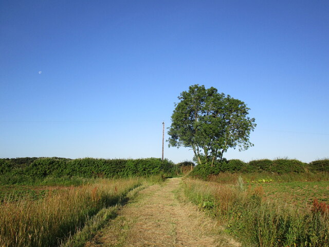
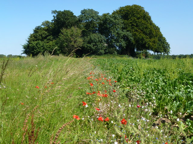
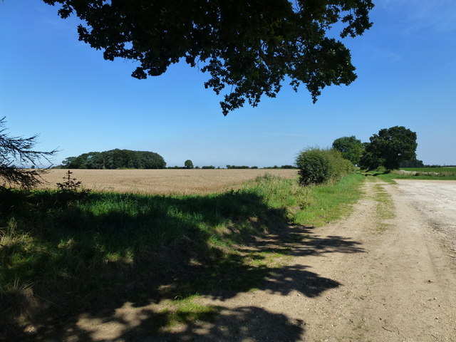
Round Plantation is a picturesque woodland area located in Norfolk, England. Spanning over a vast expanse of land, the plantation is known for its dense forest cover, making it a haven for nature enthusiasts and outdoor adventurers.
The plantation is characterized by its circular shape, which offers a unique and intriguing landscape for visitors. The woodland is predominantly made up of mature trees, including oak, beech, and ash, creating a diverse and vibrant ecosystem. These towering trees provide a habitat for a wide array of wildlife, such as deer, squirrels, and various bird species, making it a popular spot for birdwatching and wildlife spotting.
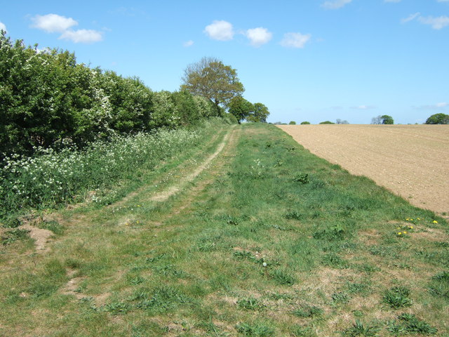
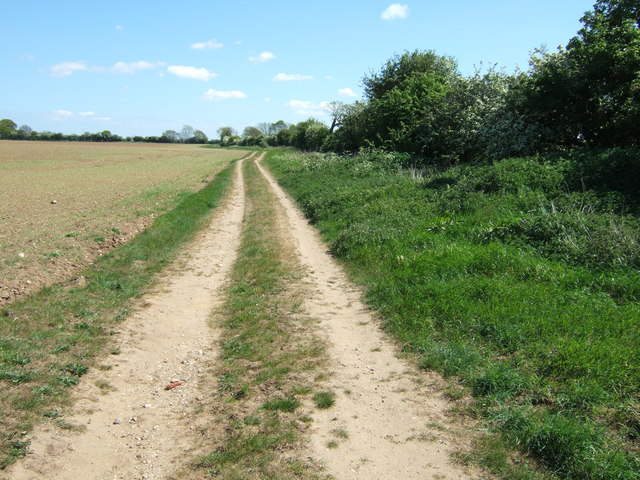
Tranquility and serenity are the hallmarks of Round Plantation, as it offers a peaceful and secluded retreat from the hustle and bustle of city life. Visitors can explore the plantation through a network of well-maintained walking trails, providing an opportunity to immerse themselves in the natural beauty of the surroundings.
Round Plantation also boasts a rich history, with evidence of ancient settlements and archaeological finds in the area. The plantation's historical significance adds an extra layer of intrigue to the already enchanting atmosphere.
Whether it's a leisurely stroll, a picnic amidst nature, or an adventure-filled hike, Round Plantation offers something for everyone. Its idyllic setting, diverse flora and fauna, and historical significance make it a must-visit destination for nature lovers and history enthusiasts alike.
If you have any feedback on the listing, please let us know in the comments section below.
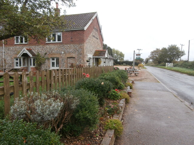
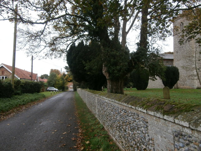
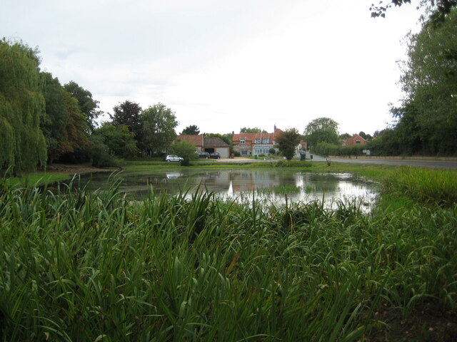
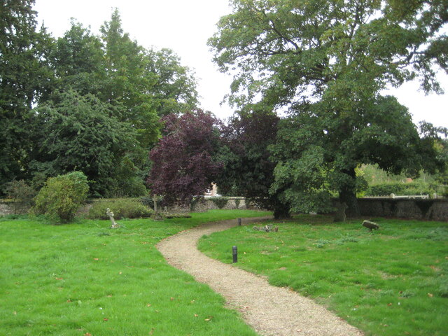
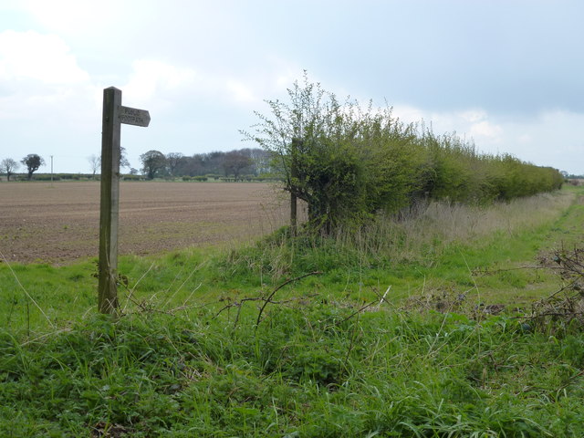
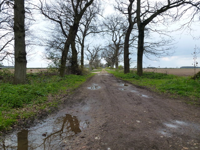
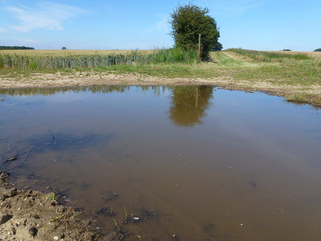
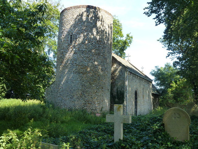
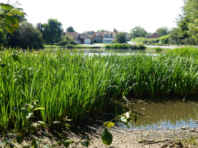
Round Plantation Images
Images are sourced within 2km of 52.886819/0.68176214 or Grid Reference TF8035. Thanks to Geograph Open Source API. All images are credited.
Round Plantation is located at Grid Ref: TF8035 (Lat: 52.886819, Lng: 0.68176214)
Administrative County: Norfolk
District: King's Lynn and West Norfolk
Police Authority: Norfolk
What 3 Words
///chair.hungry.underline. Near Snettisham, Norfolk
Nearby Locations
Related Wikis

Barwick, Norfolk
Barwick is a scattered hamlet and civil parish in the north-west part of the English county of Norfolk. It is situated adjacent to the slightly larger...

Stanhoe
Stanhoe is a village and civil parish in the English county of Norfolk, 6.4 miles (10.2 km) from the North Sea. It covers an area of 6.06 km2 (2.34 sq...
RAF Bircham Newton
Royal Air Force Bircham Newton or more simply RAF Bircham Newton is a former Royal Air Force station located 2.1 miles (3.4 km) south east of Docking,...

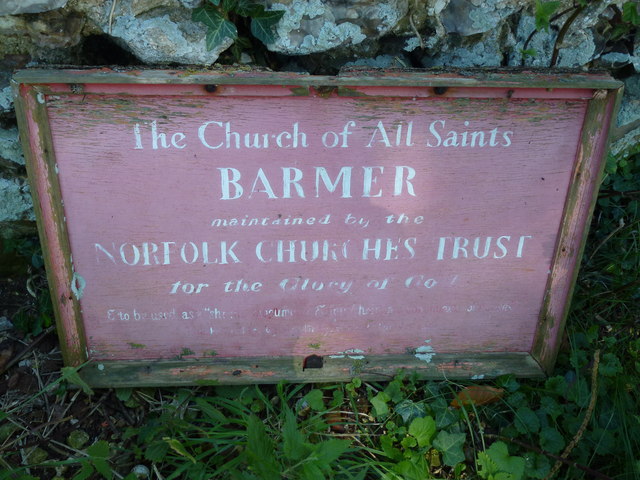
Bagthorpe with Barmer
Bagthorpe with Barmer is a civil parish in the English county of Norfolk. The parish includes the hamlets of Bagthorpe and Barmer, it is around 7+1⁄2 miles...

Stanhoe railway station
Stanhoe was a railway station which served the village of Stanhoe in Norfolk, England. Opened by the West Norfolk Junction Railway in 1866, it closed to...

Syderstone
Syderstone is a civil parish in the English county of Norfolk, near the town of Fakenham. It has an area of 9.94 km2 (3.84 sq mi). The population of 532...

Bircham Tofts
Bircham Tofts is one of the three villages that make up the civil parish of Bircham, in the west of the English county of Norfolk. The village is located...
RAF Docking
Royal Air Force Docking or more simply RAF Docking is a former Royal Air Force satellite station a few miles from Bircham Newton in Norfolk, England....
Nearby Amenities
Located within 500m of 52.886819,0.68176214Have you been to Round Plantation?
Leave your review of Round Plantation below (or comments, questions and feedback).