Barwick in Elmet
Settlement in Yorkshire
England
Barwick in Elmet
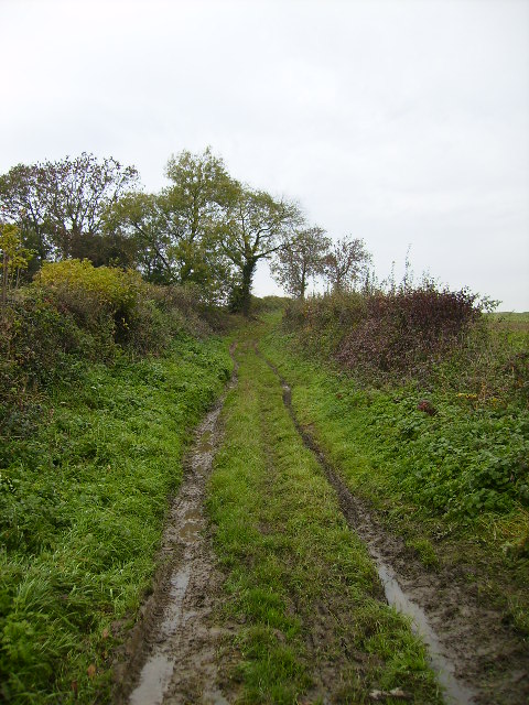
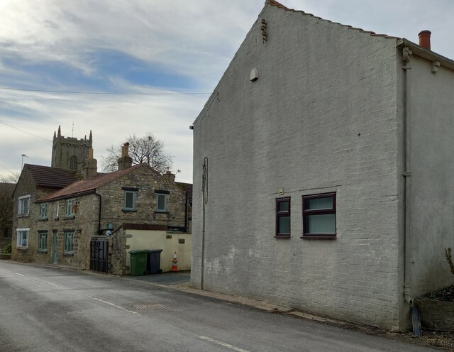
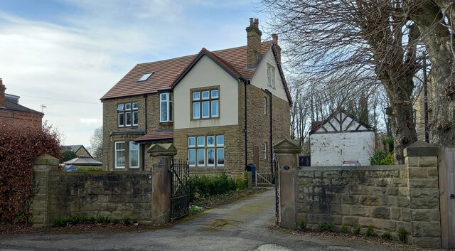
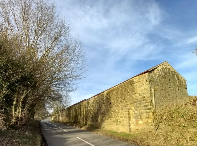
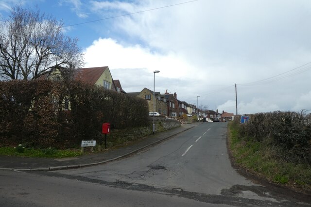
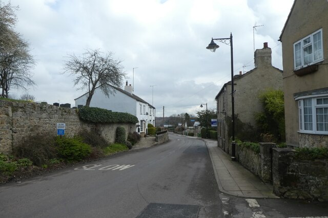
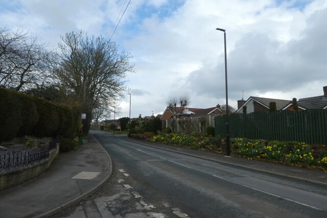
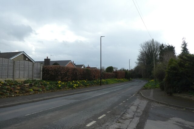
Barwick in Elmet is a picturesque village located in the county of West Yorkshire, England. Situated approximately eight miles east of Leeds, it is a part of the larger civil parish of Barwick and Scholes. The village is nestled within rolling green countryside, offering stunning views of the surrounding landscape.
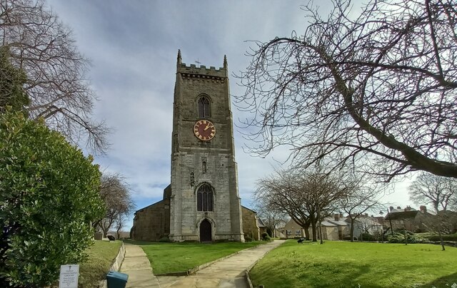
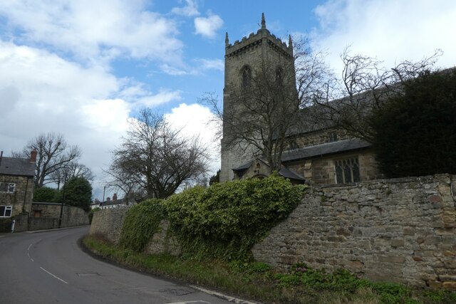
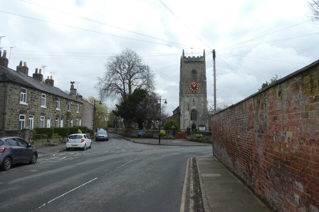
With a population of around 5,000 people, Barwick in Elmet has a close-knit community feel. The village boasts a rich history, dating back to the Roman times, with evidence of Roman occupation discovered in the area. It is also known for its historic All Saints Church, which dates back to the 12th century and features magnificent stained glass windows.
In terms of amenities, Barwick in Elmet offers a range of facilities to its residents. These include a primary school, a library, a post office, and a variety of local shops and businesses. The village also has several pubs and restaurants, providing a cozy and friendly atmosphere for locals and visitors alike.
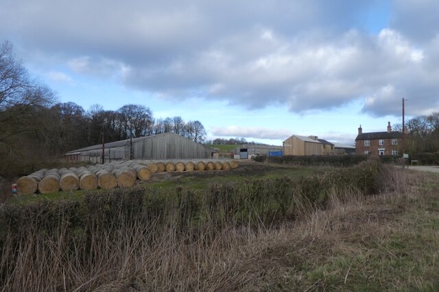
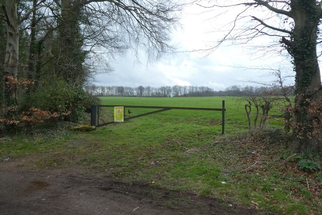
For outdoor enthusiasts, Barwick in Elmet is surrounded by beautiful countryside, offering ample opportunities for walks, hikes, and exploring nature. Nearby attractions include the stunning Temple Newsam estate, with its grand mansion and landscaped gardens, as well as the historical ruins of Towton Battlefield, the site of one of the bloodiest battles of the Wars of the Roses.
Overall, Barwick in Elmet is a charming village with a rich heritage and a strong sense of community. Its picturesque location, combined with its amenities and proximity to larger towns and cities, make it an attractive place to live or visit in Yorkshire.
If you have any feedback on the listing, please let us know in the comments section below.
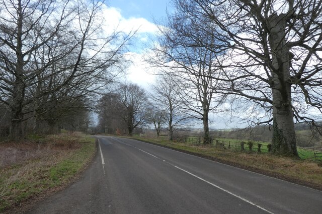
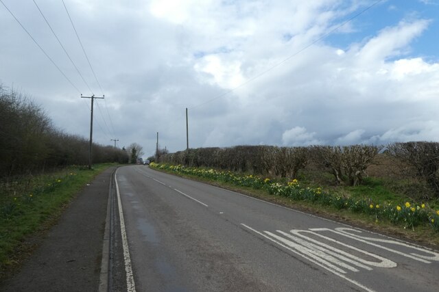
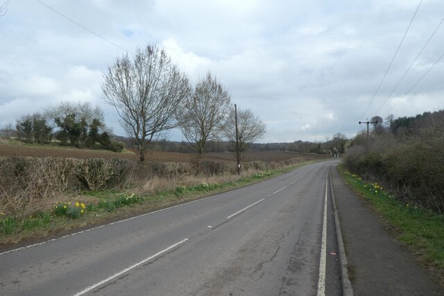
Barwick in Elmet Images
Images are sourced within 2km of 53.829563/-1.40058 or Grid Reference SE3937. Thanks to Geograph Open Source API. All images are credited.

Barwick in Elmet is located at Grid Ref: SE3937 (Lat: 53.829563, Lng: -1.40058)
Division: West Riding
Unitary Authority: Leeds
Police Authority: West Yorkshire
What 3 Words
///illogical.pouch.snored. Near Scholes, West Yorkshire
Nearby Locations
Related Wikis
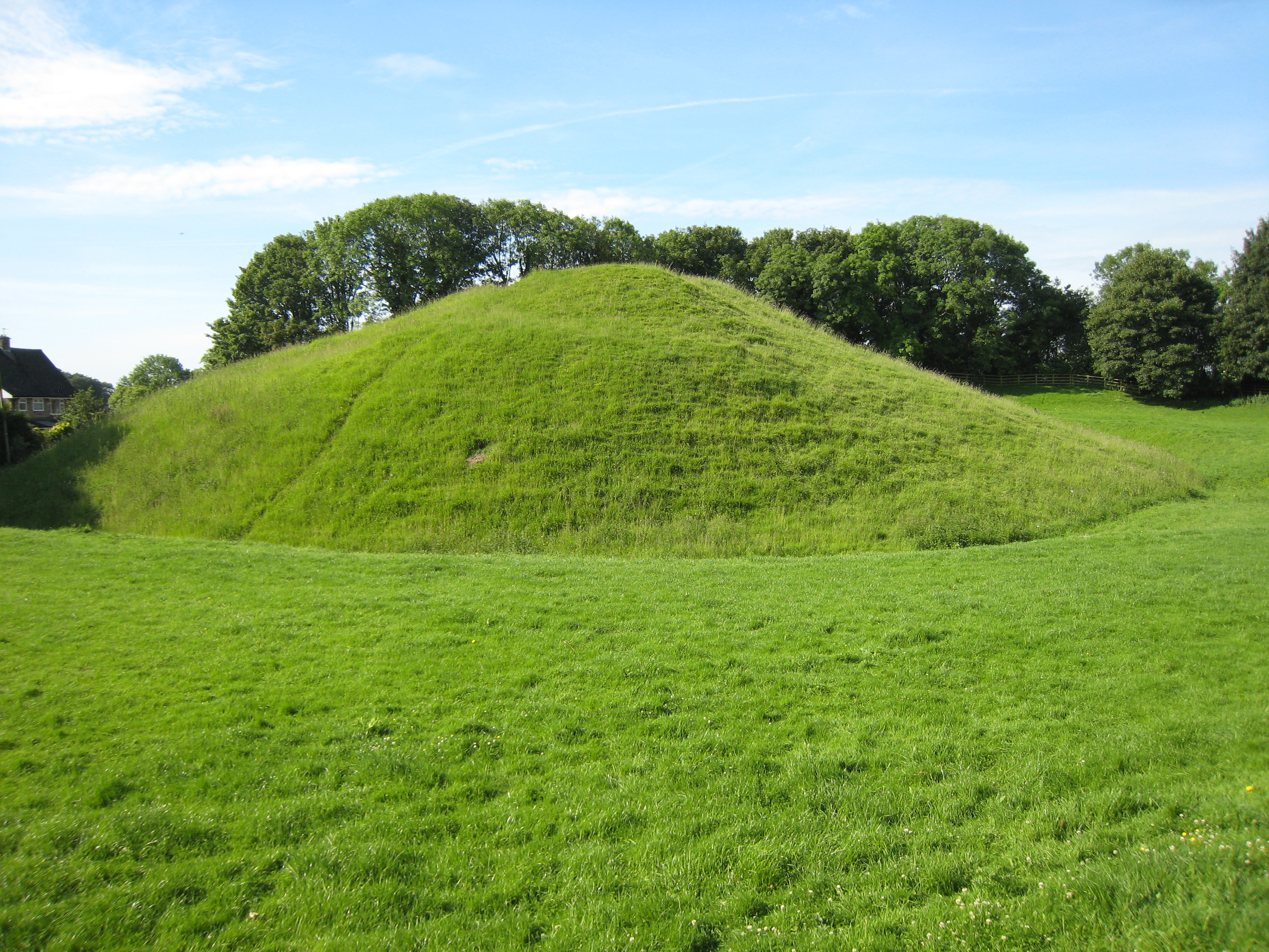
Barwick-in-Elmet Castle
Barwick-in-Elmet Castle was a fortification in the village of Barwick-in-Elmet, West Yorkshire, England to the east of Leeds (grid reference SE398375)...

Barwick-in-Elmet
Barwick-in-Elmet (pronounced Barrick-in-Elmet) is a village in West Yorkshire, 7 miles (11 km) east of Leeds city centre. It is one of only three places...
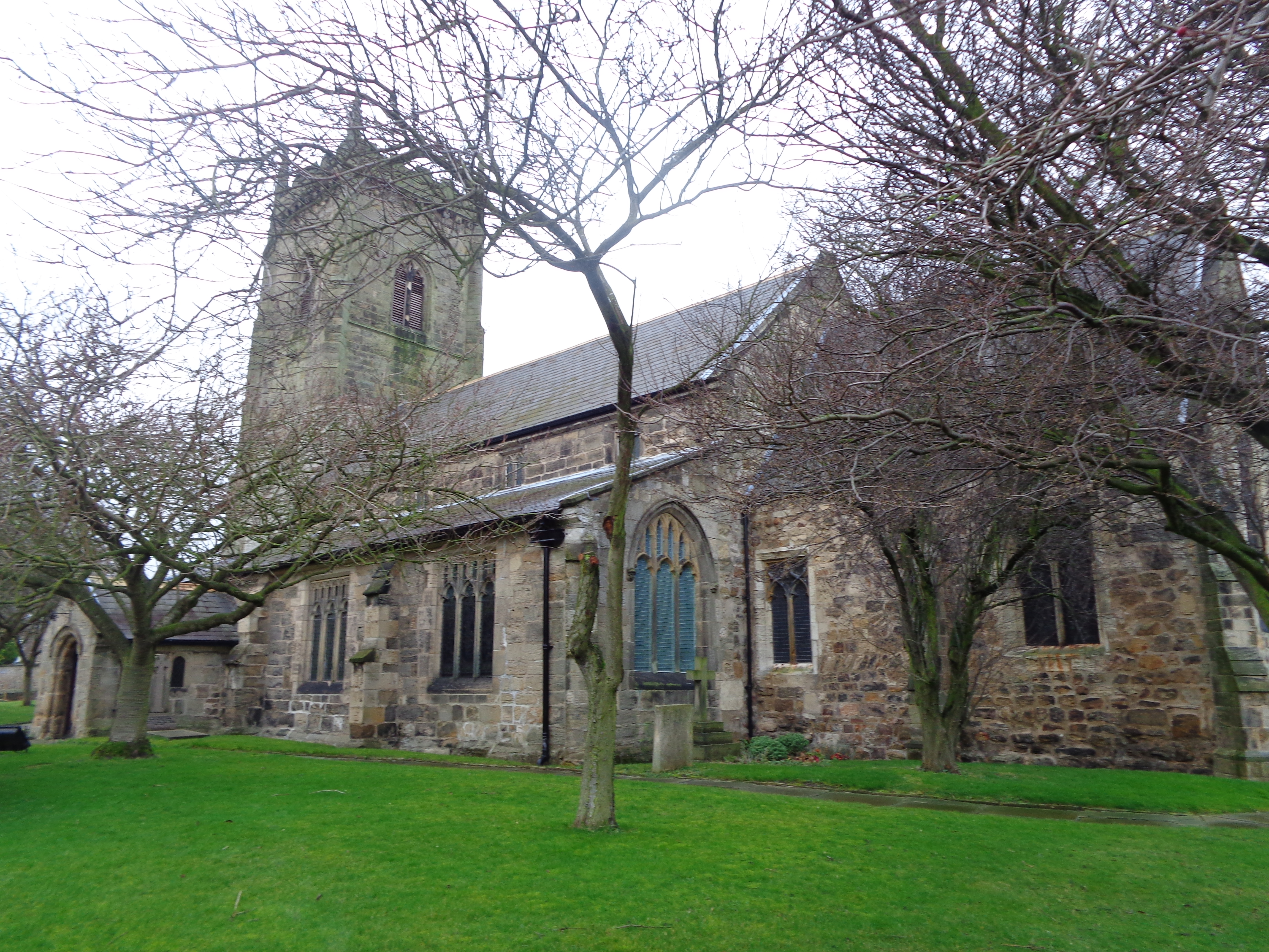
All Saints' Church, Barwick-in-Elmet
All Saints' Church in Barwick-in-Elmet, West Yorkshire, England is an active Anglican parish church in the archdeaconry of Leeds and the Diocese of Leeds...

Barwick in Elmet and Scholes
Barwick in Elmet and Scholes is a civil parish in the City of Leeds metropolitan borough in West Yorkshire, England. According to the 2001 census it had...
Nearby Amenities
Located within 500m of 53.829563,-1.40058Have you been to Barwick in Elmet?
Leave your review of Barwick in Elmet below (or comments, questions and feedback).