Wendel Hill
Hill, Mountain in Yorkshire
England
Wendel Hill
Wendel Hill is a prominent geographical feature situated in the county of Yorkshire, England. It is classified as a hill rather than a mountain, with an elevation of approximately 450 meters (1476 feet). The hill is located in the North York Moors National Park, which is renowned for its stunning natural beauty and diverse wildlife.
Wendel Hill offers breathtaking panoramic views of the surrounding landscape, including the picturesque villages and lush green valleys that characterize the region. The hill itself is covered in heather and grass, providing a rich habitat for various species of flora and fauna. It is a popular destination for hikers and nature enthusiasts, offering a range of walking trails that cater to different skill levels.
The hill is also of historical significance, as it is home to several ancient archaeological sites. These include burial mounds and stone circles dating back to the Neolithic and Bronze Age periods, providing valuable insights into the region's prehistoric past.
Wendel Hill's location within the North York Moors National Park means it is easily accessible to visitors, with well-maintained paths and parking facilities available. The surrounding area offers a range of amenities, including visitor centers, cafes, and accommodation options for those wishing to explore the hill and its surroundings more extensively.
Overall, Wendel Hill is a captivating natural landmark that showcases the beauty and heritage of Yorkshire. Its combination of stunning vistas, ecological diversity, and historical significance make it a must-visit destination for anyone seeking to immerse themselves in the region's rich natural and cultural tapestry.
If you have any feedback on the listing, please let us know in the comments section below.
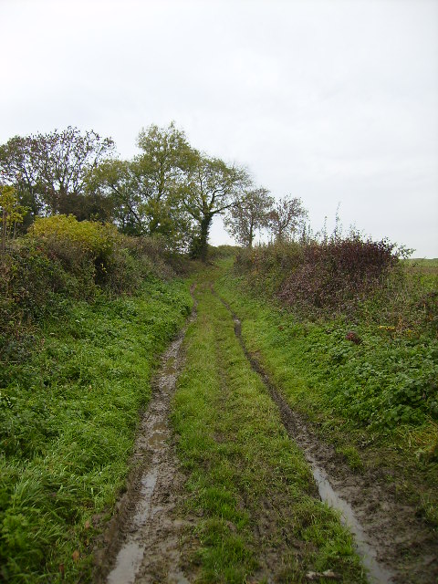
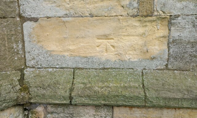
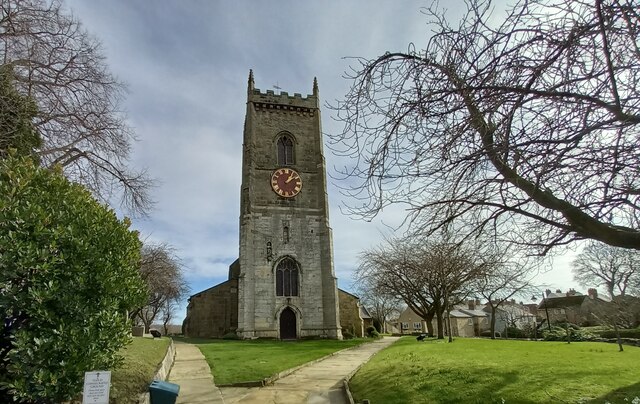
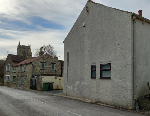
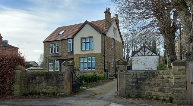
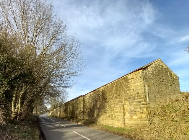
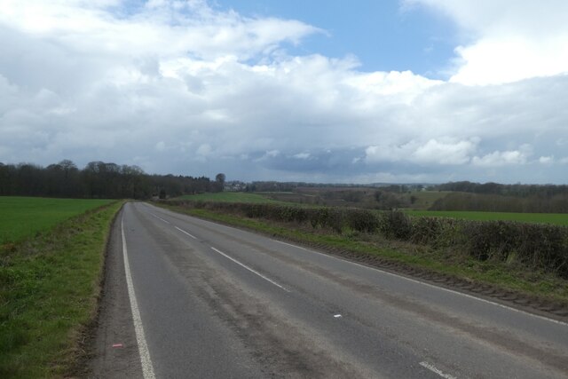
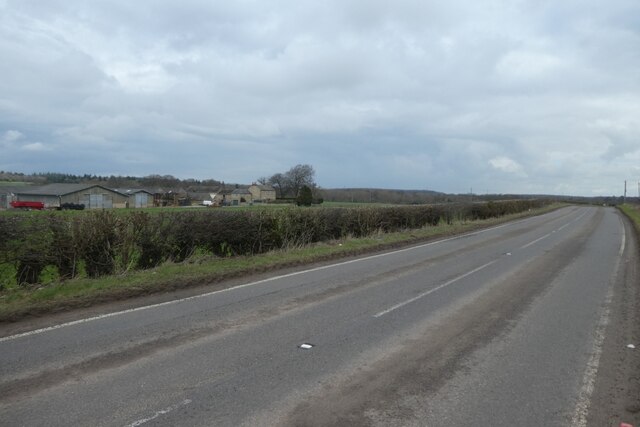
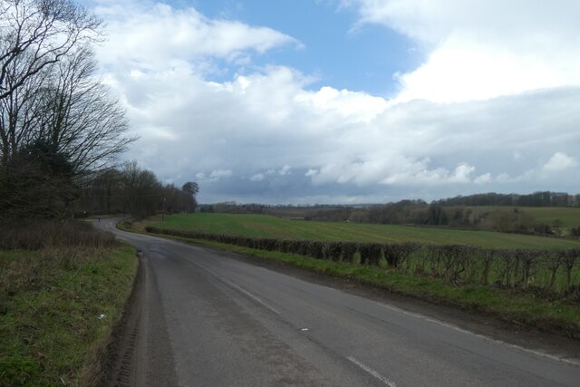
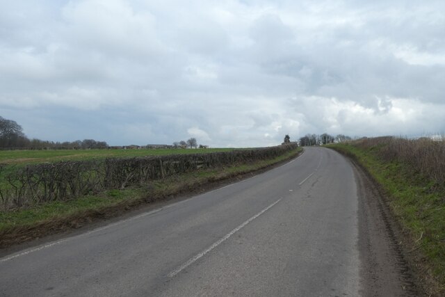
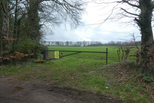
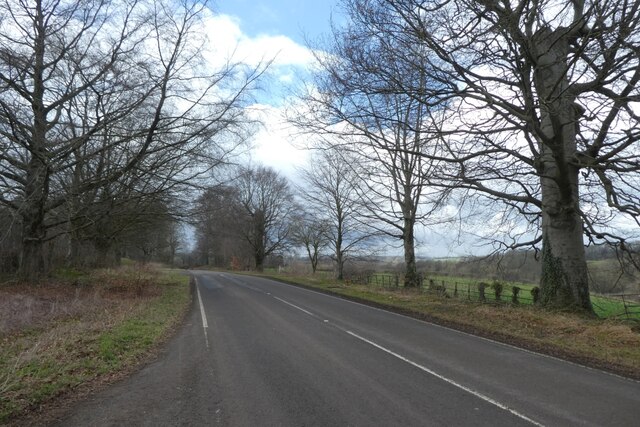
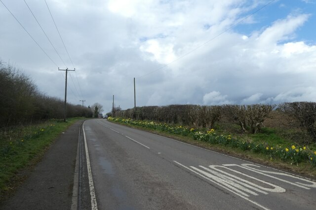
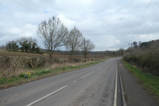
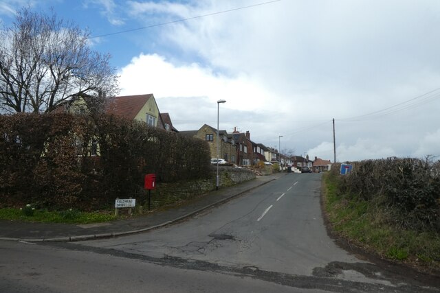
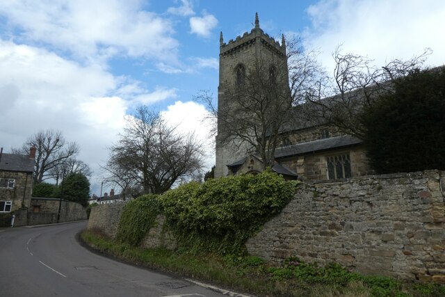
Wendel Hill Images
Images are sourced within 2km of 53.833048/-1.3943241 or Grid Reference SE3937. Thanks to Geograph Open Source API. All images are credited.

Wendel Hill is located at Grid Ref: SE3937 (Lat: 53.833048, Lng: -1.3943241)
Division: West Riding
Unitary Authority: Leeds
Police Authority: West Yorkshire
What 3 Words
///clashing.pushes.optimally. Near Scholes, West Yorkshire
Nearby Locations
Related Wikis
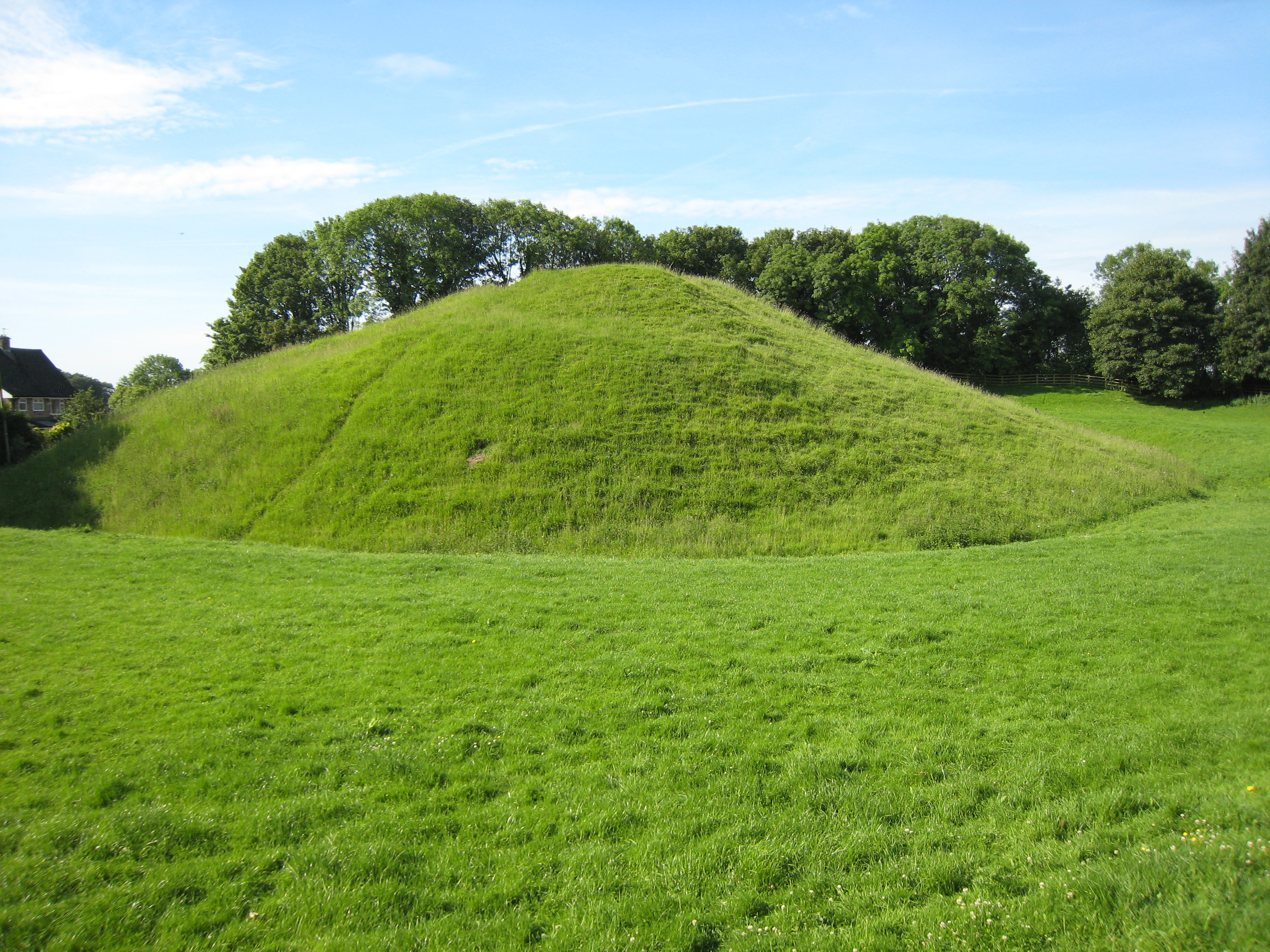
Barwick-in-Elmet Castle
Barwick-in-Elmet Castle was a fortification in the village of Barwick-in-Elmet, West Yorkshire, England to the east of Leeds (grid reference SE398375)...

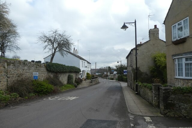
Barwick-in-Elmet
Barwick-in-Elmet (pronounced Barrick-in-Elmet) is a village in West Yorkshire, 7 miles (11 km) east of Leeds city centre. It is one of only three places...
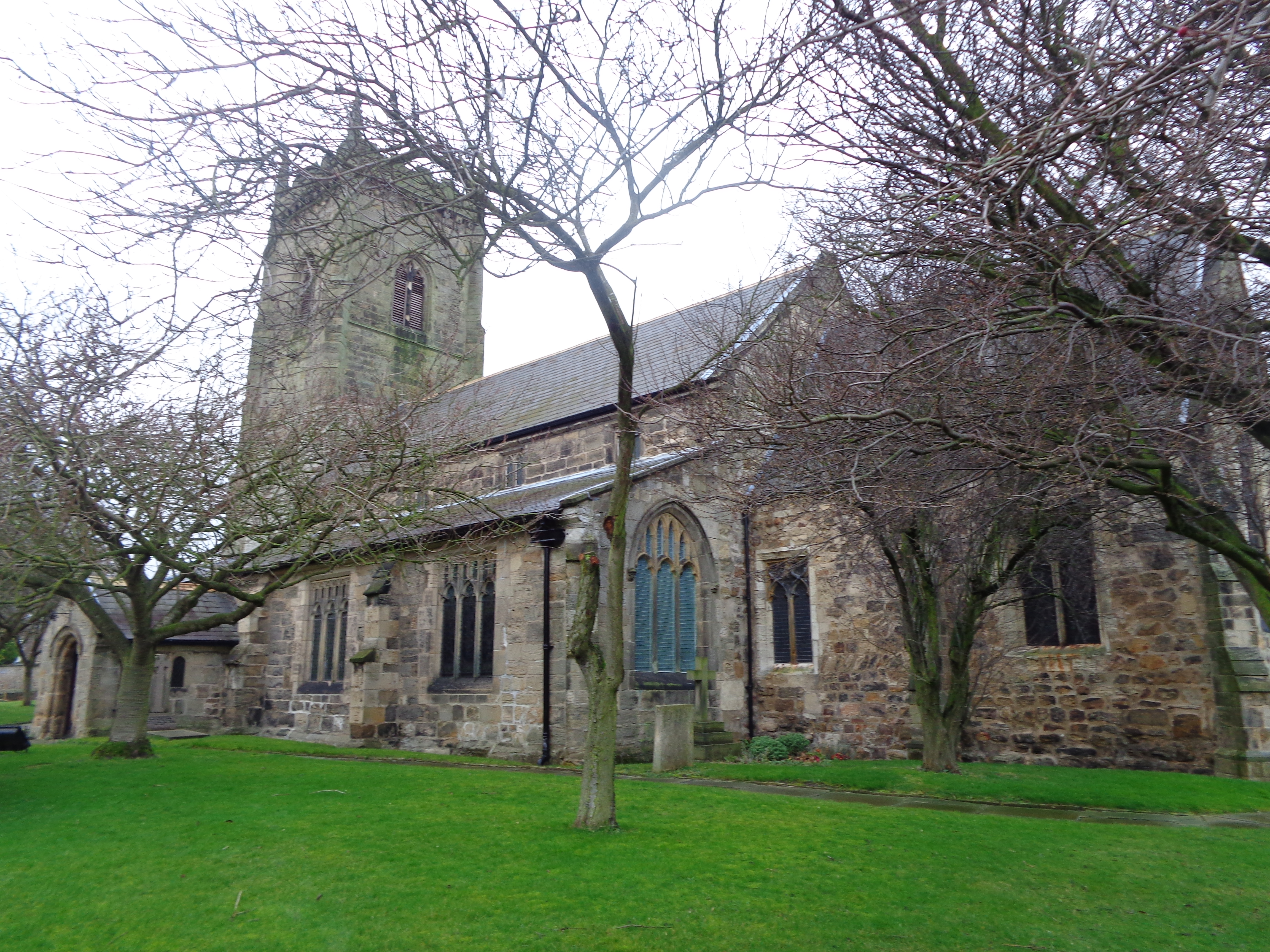
All Saints' Church, Barwick-in-Elmet
All Saints' Church in Barwick-in-Elmet, West Yorkshire, England is an active Anglican parish church in the archdeaconry of Leeds and the Diocese of Leeds...

Potterton, West Yorkshire
Potterton is a hamlet 1 mile (1.5 km) north of Barwick-in-Elmet in City of Leeds, West Yorkshire, England. It falls within the Harewood ward of the Leeds...
Nearby Amenities
Located within 500m of 53.833048,-1.3943241Have you been to Wendel Hill?
Leave your review of Wendel Hill below (or comments, questions and feedback).