Bartlow
Civil Parish in Cambridgeshire South Cambridgeshire
England
Bartlow
Bartlow is a civil parish located in the county of Cambridgeshire, England. It is situated in the southeastern part of the county, approximately 15 miles southeast of the city of Cambridge. The parish covers an area of around 6.5 square miles and is home to a small population of approximately 150 residents.
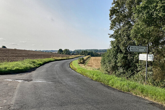
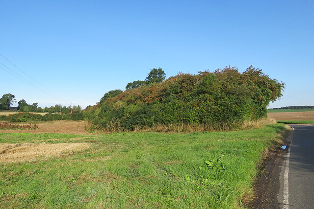
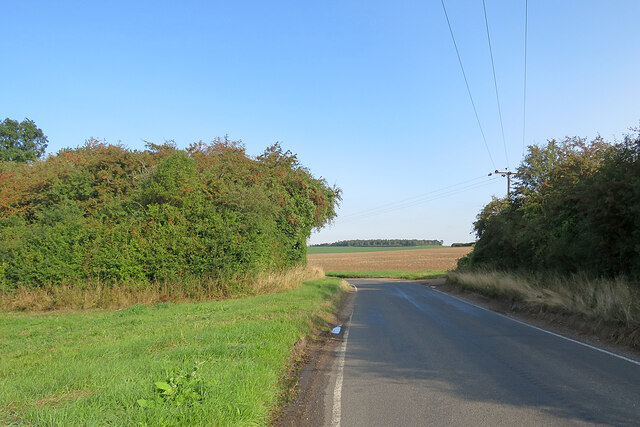
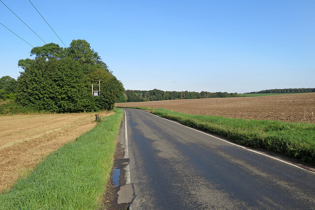
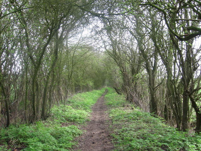
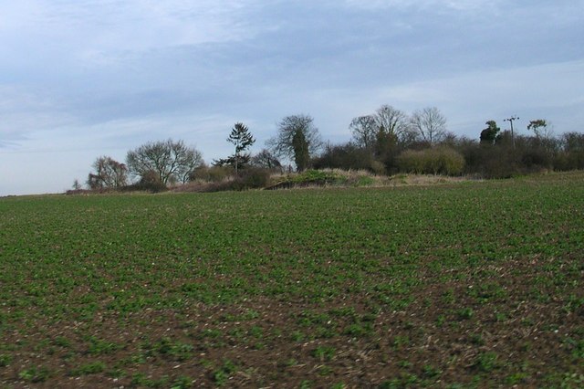
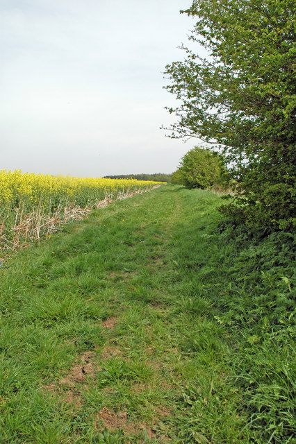
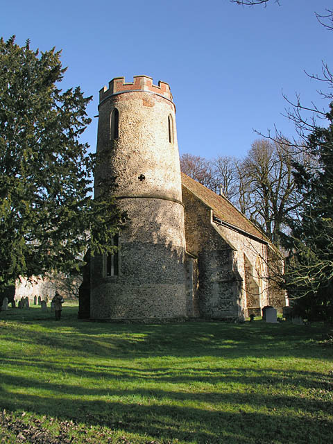
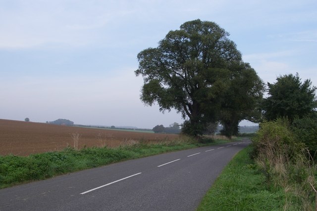
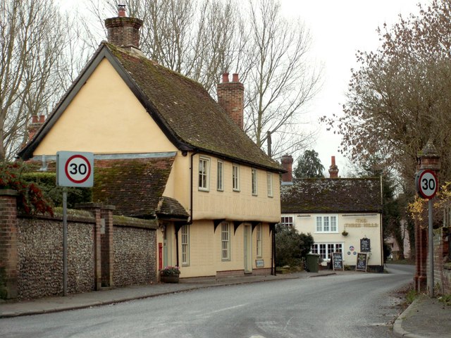
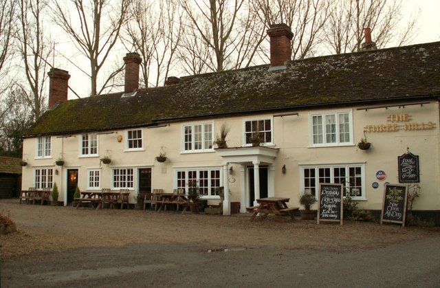
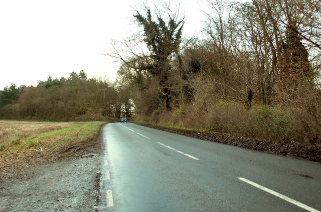
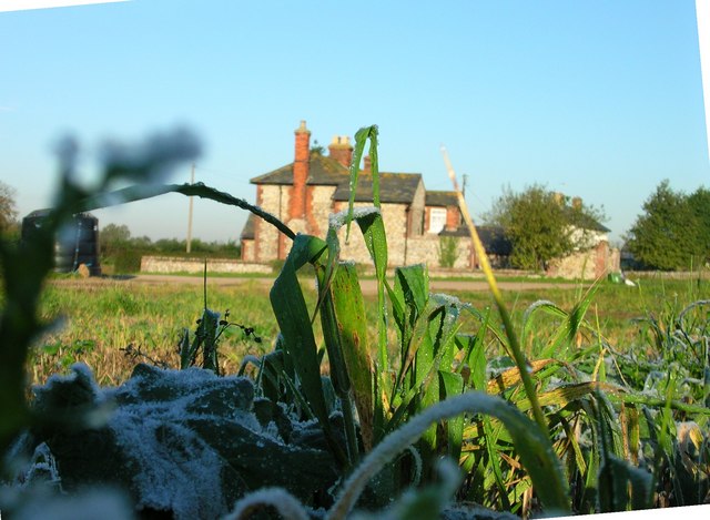
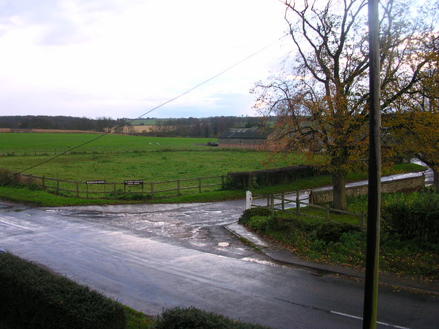
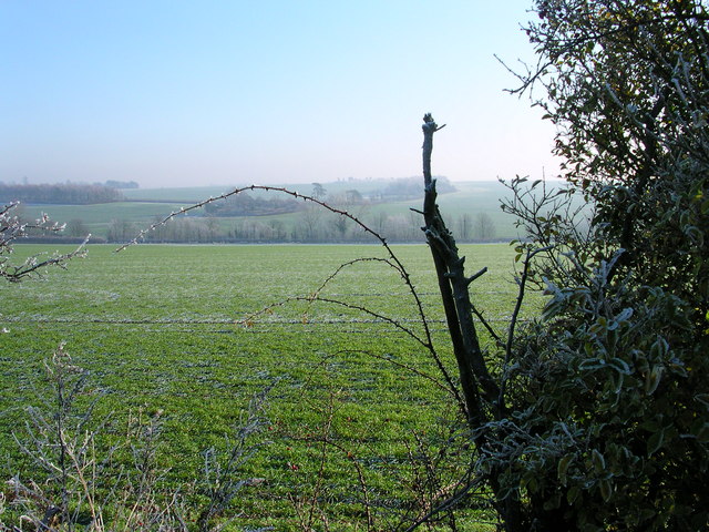
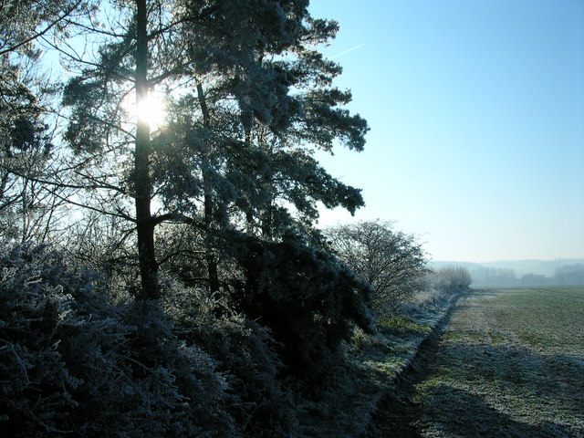
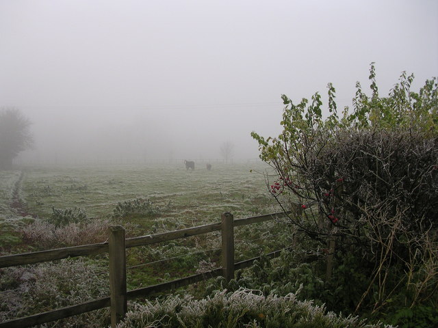
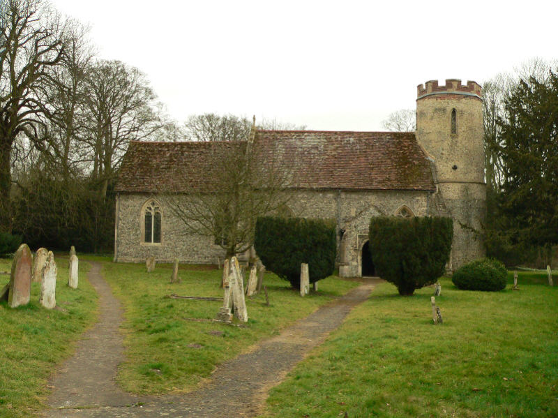
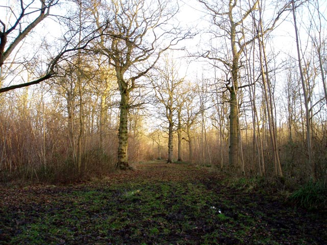
The village of Bartlow is known for its picturesque countryside and tranquil ambiance. It is surrounded by farmland and offers stunning views of the Cambridgeshire countryside. The village itself is small and primarily residential, with a few amenities such as a village hall and a church.
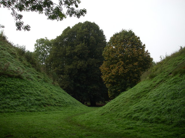
One of the notable features of Bartlow is its ancient earthwork, known as Bartlow Hills. These low-lying mounds are believed to be the remains of a Roman burial site and have been designated as a Scheduled Ancient Monument. The hills are a popular attraction for history enthusiasts and visitors looking to explore the area's rich past.
The parish of Bartlow is also known for its annual steam and vintage vehicle rally, which attracts enthusiasts from near and far. This event showcases a variety of vintage steam engines, tractors, and other vehicles, providing a unique glimpse into the area's agricultural and industrial history.
Overall, Bartlow is a charming and peaceful civil parish that offers a glimpse into Cambridgeshire's rural beauty and historical significance.
If you have any feedback on the listing, please let us know in the comments section below.
Bartlow Images
Images are sourced within 2km of 52.083145/0.320808 or Grid Reference TL5945. Thanks to Geograph Open Source API. All images are credited.
Bartlow is located at Grid Ref: TL5945 (Lat: 52.083145, Lng: 0.320808)
Administrative County: Cambridgeshire
District: South Cambridgeshire
Police Authority: Cambridgeshire
What 3 Words
///something.cooking.magically. Near Linton, Cambridgeshire
Nearby Locations
Related Wikis
Bartlow
Bartlow is a small village and civil parish in the South Cambridgeshire district of Cambridgeshire, England, about 12 miles (19 km) south-east of Cambridge...
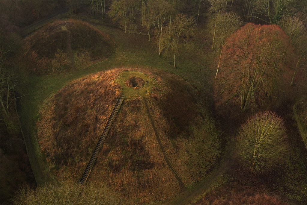
Bartlow Hills
Bartlow Hills is a Roman tumuli cemetery in Bartlow, Cambridgeshire, England. The site was in Essex until a boundary alteration in 1990. Four of the original...
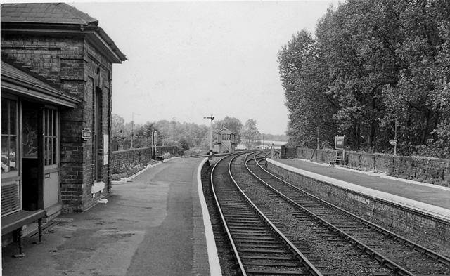
Bartlow railway station
Bartlow railway station was a station in Bartlow, Cambridgeshire on the Stour Valley Railway at the junction with the Saffron Walden Railway. There were...

Barham Friary
Barham Friary was a Crutched Friars friary in Linton, Cambridgeshire, England. It was established around 1272 and was dissolved in 1538. == References ==

Bragg's Mill, Ashdon
Bragg's Mill, William Bragg's Mill, Bartlow Hamlet Mill or Stevington End Mill is a grade II listed post mill at Ashdon, Essex, England which has been...

Horseheath
Horseheath is a village in Cambridgeshire, England, situated a few miles south-east of Cambridge, between Linton and Haverhill, on the A1307 road. It was...
Langley Wood, Cambridgeshire
Langley Wood is a 31.6-hectare (78-acre) biological Site of Special Scientific Interest in Cambridgeshire, but lying between Saffron Walden in Essex and...
Ashdon
Ashdon, is a village and civil parish in Essex, England. It is about 4 miles (6 km) northeast of Saffron Walden and 23 miles (37 km) northwest from the...
Nearby Amenities
Located within 500m of 52.083145,0.320808Have you been to Bartlow?
Leave your review of Bartlow below (or comments, questions and feedback).