Howards Plantation
Wood, Forest in Cambridgeshire South Cambridgeshire
England
Howards Plantation

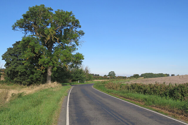
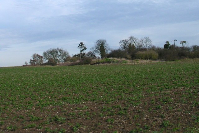
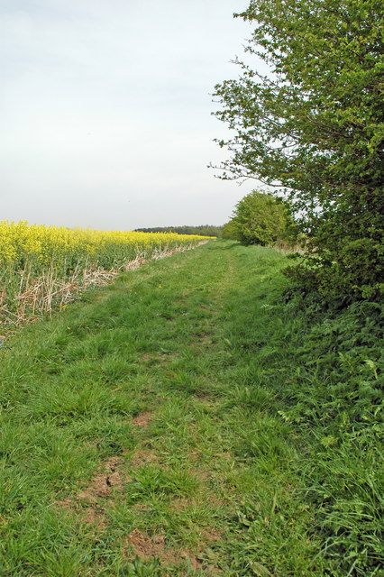
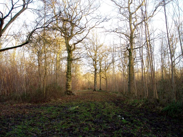
Howards Plantation is a picturesque woodland area located in the county of Cambridgeshire, England. With a vast expanse of around 100 acres, this plantation is a perfect retreat for nature lovers and outdoor enthusiasts alike.
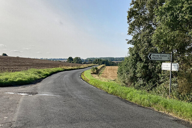
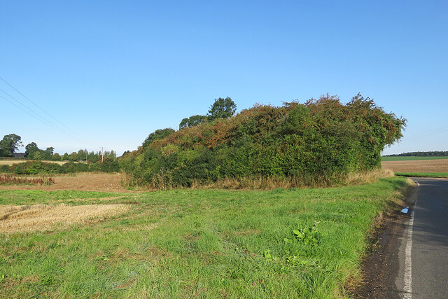
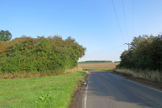
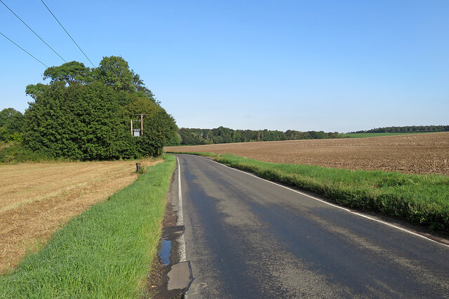
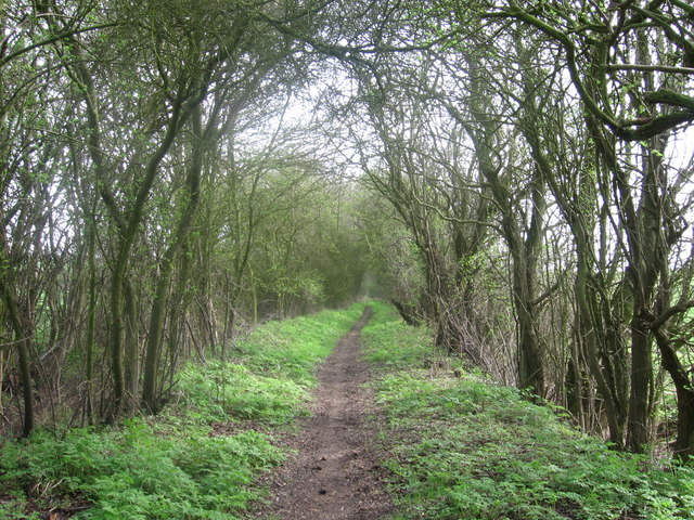
The plantation is predominantly made up of dense forests, consisting of a variety of tree species including oak, beech, and pine. The woodland is well-maintained, with designated walking trails that allow visitors to explore the area at their own pace. These trails offer stunning views of the surrounding countryside and provide a peaceful and tranquil setting for relaxation and contemplation.
Wildlife thrives within Howards Plantation, with an abundance of bird species such as woodpeckers, owls, and thrushes. Small mammals like squirrels and rabbits can also be spotted darting through the undergrowth, adding to the charm of the woodland.
The plantation is a popular destination for outdoor activities such as hiking, picnicking, and photography. It also serves as an educational resource, with guided nature walks and workshops organized periodically to raise awareness about the local flora and fauna.
Howards Plantation is easily accessible, with ample parking facilities available for visitors. The plantation is open throughout the year, offering different experiences with each changing season. Autumn brings a spectacular display of vibrant foliage, while spring sees the woodland come alive with blossoming flowers and the songs of migratory birds.
Overall, Howards Plantation is a captivating woodland retreat that showcases the natural beauty of Cambridgeshire and provides a sanctuary for both humans and wildlife to enjoy.
If you have any feedback on the listing, please let us know in the comments section below.
Howards Plantation Images
Images are sourced within 2km of 52.08274/0.32980245 or Grid Reference TL5945. Thanks to Geograph Open Source API. All images are credited.


Howards Plantation is located at Grid Ref: TL5945 (Lat: 52.08274, Lng: 0.32980245)
Administrative County: Cambridgeshire
District: South Cambridgeshire
Police Authority: Cambridgeshire
What 3 Words
///ranks.untruth.marked. Near Linton, Cambridgeshire
Nearby Locations
Related Wikis
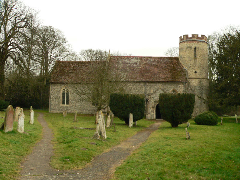
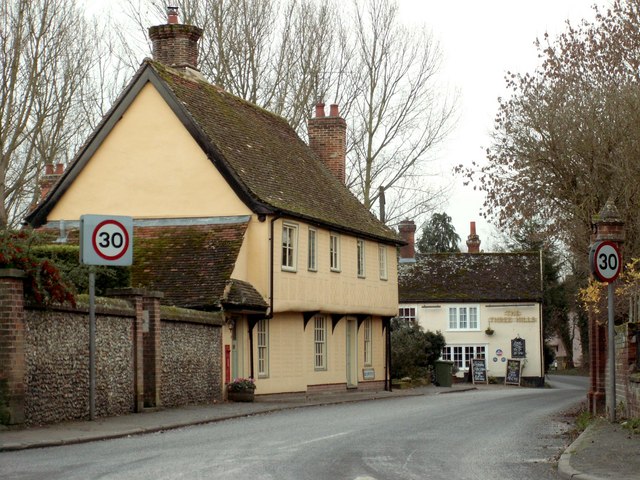
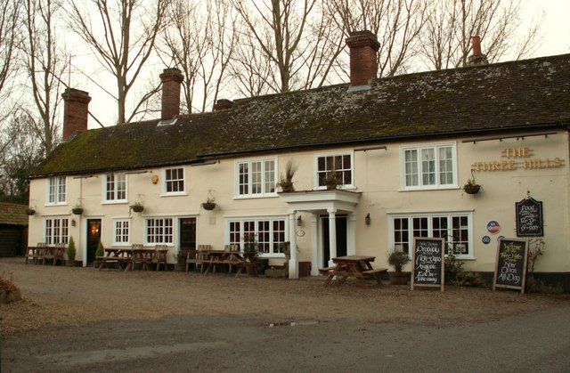
Bartlow
Bartlow is a small village and civil parish in the South Cambridgeshire district of Cambridgeshire, England, about 12 miles (19 km) south-east of Cambridge...
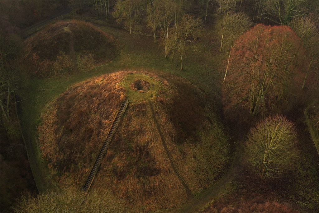
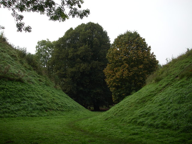
Bartlow Hills
Bartlow Hills is a Roman tumuli cemetery in Bartlow, Cambridgeshire, England. The site was in Essex until a boundary alteration in 1990. Four of the original...
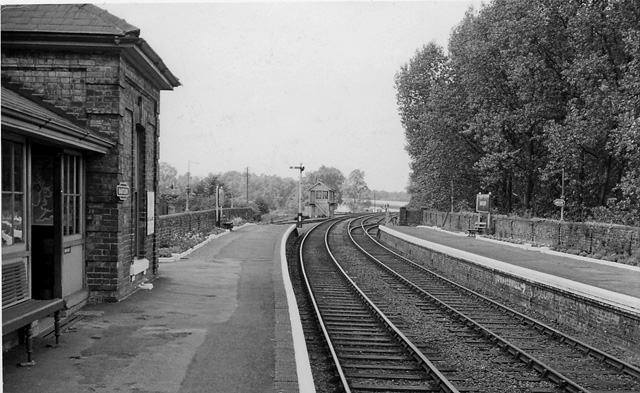
Bartlow railway station
Bartlow railway station was a station in Bartlow, Cambridgeshire on the Stour Valley Railway at the junction with the Saffron Walden Railway. There were...

Barham Friary
Barham Friary was a Crutched Friars friary in Linton, Cambridgeshire, England. It was established around 1272 and was dissolved in 1538. == References ==

Horseheath
Horseheath is a village in Cambridgeshire, England, situated a few miles south-east of Cambridge, between Linton and Haverhill, on the A1307 road. It was...

Bragg's Mill, Ashdon
Bragg's Mill, William Bragg's Mill, Bartlow Hamlet Mill or Stevington End Mill is a grade II listed post mill at Ashdon, Essex, England which has been...
Langley Wood, Cambridgeshire
Langley Wood is a 31.6-hectare (78-acre) biological Site of Special Scientific Interest in Cambridgeshire, but lying between Saffron Walden in Essex and...
Ashdon
Ashdon, is a village and civil parish in Essex, England. It is about 4 miles (6 km) northeast of Saffron Walden and 23 miles (37 km) northwest from the...
Nearby Amenities
Located within 500m of 52.08274,0.32980245Have you been to Howards Plantation?
Leave your review of Howards Plantation below (or comments, questions and feedback).