Plum Belt
Wood, Forest in Cambridgeshire South Cambridgeshire
England
Plum Belt
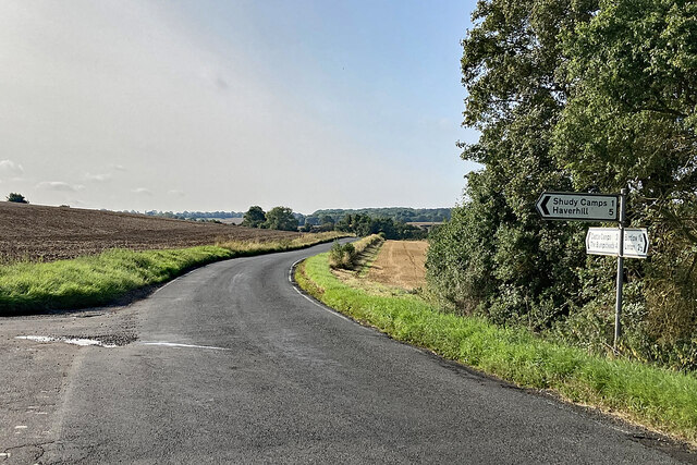
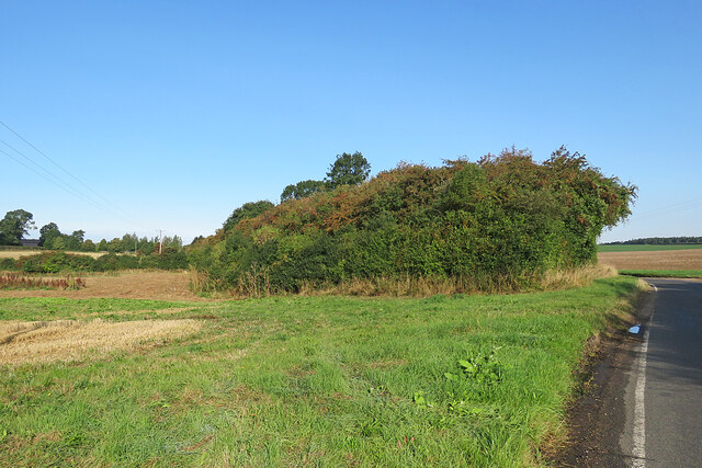
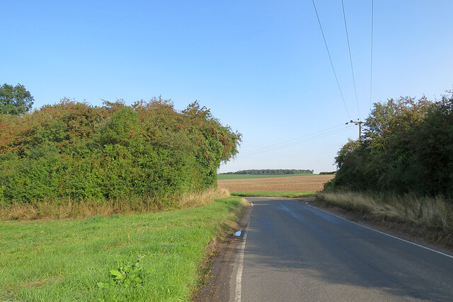
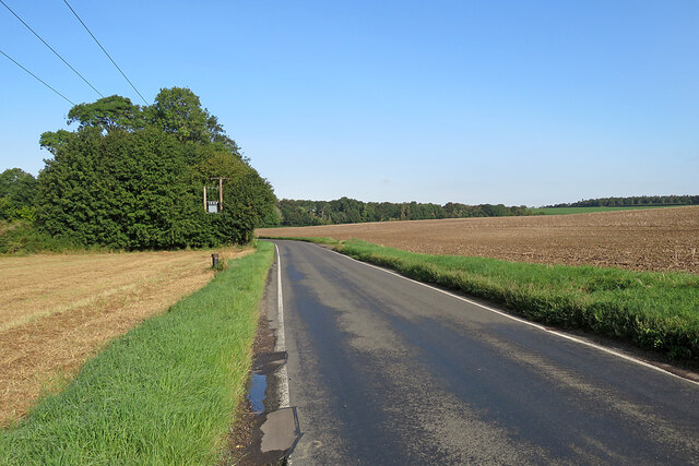
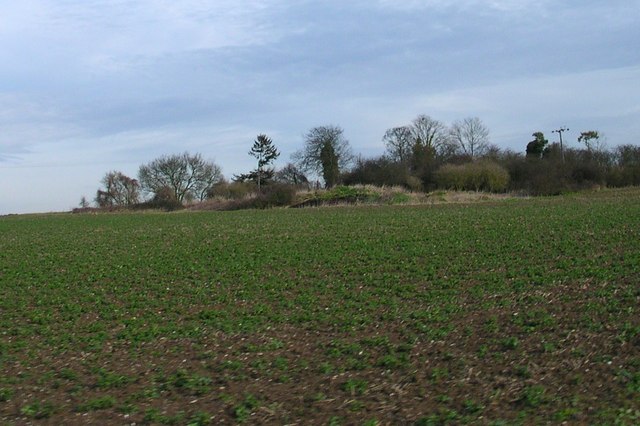
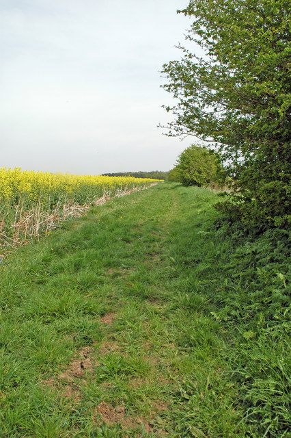
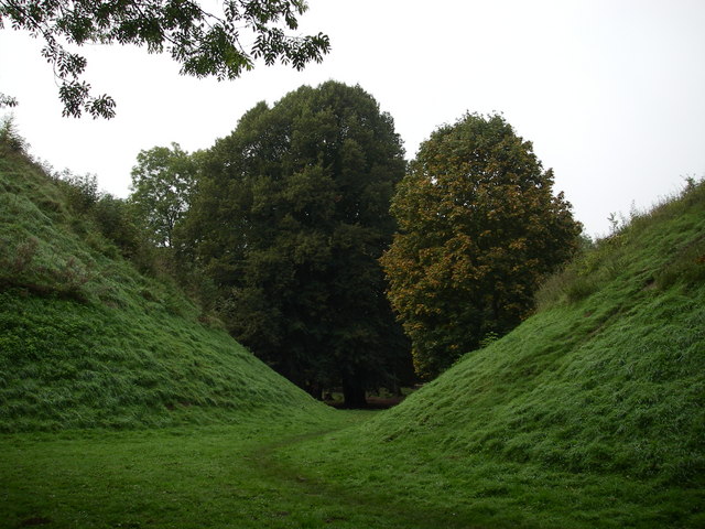
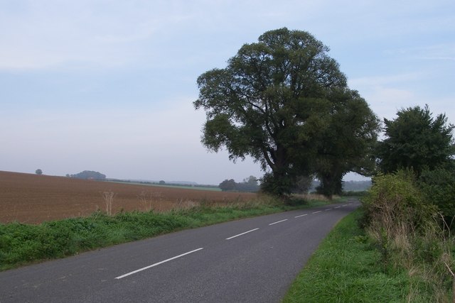
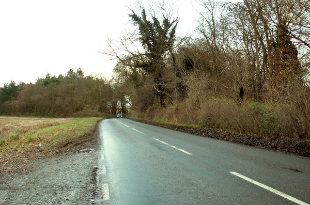
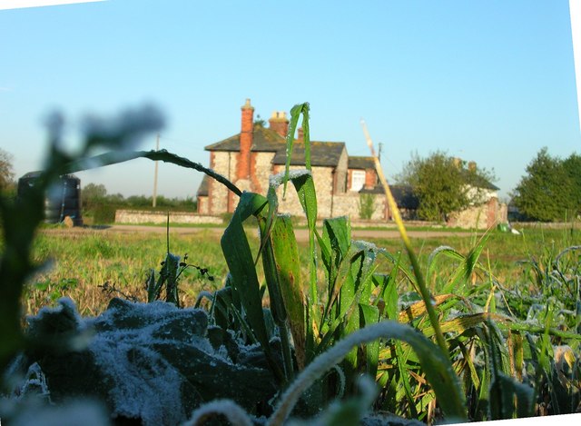
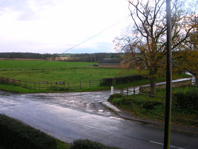
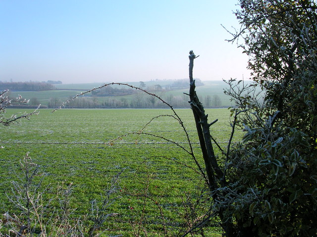
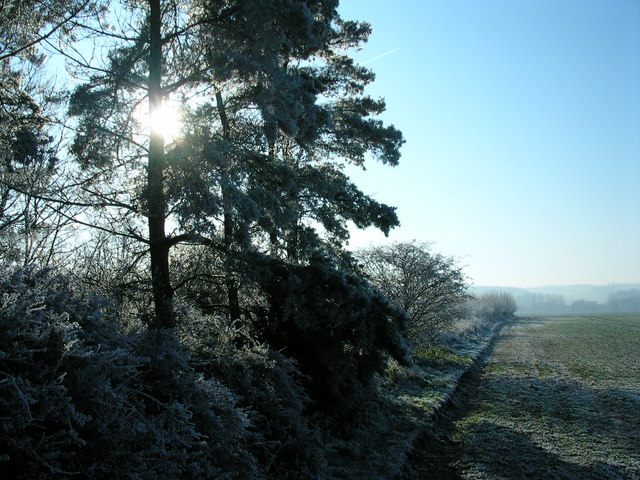
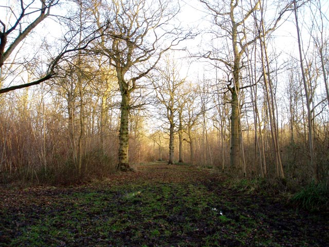
Plum Belt is a small woodland area located in the county of Cambridgeshire, England. It is known for its dense population of plum trees, giving rise to its name. The woodland covers an approximate area of 10 acres and is situated in a rural setting, surrounded by farmland and other woodlands.
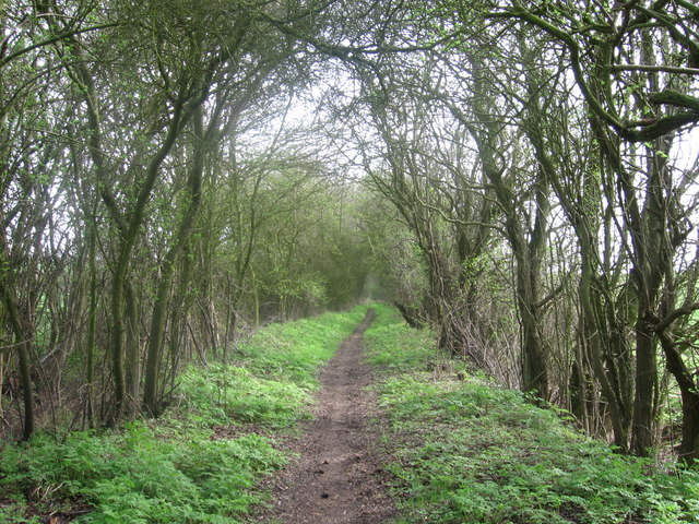
The forest is characterized by its rich biodiversity, offering a habitat for a variety of flora and fauna. The canopy of the forest is dominated by the plum trees, which provide shelter and food for a range of bird species. Some of the common bird species found in Plum Belt include blackbirds, thrushes, and woodpeckers.
The forest floor is covered with a thick layer of leaf litter, creating a fertile environment for various plant species to thrive. Bluebells, ferns, and mosses are among the common plants found in the understory. The woodland is also home to a diverse range of mammals, including squirrels, rabbits, and foxes.
Plum Belt is a popular destination for nature enthusiasts and walkers who can enjoy the peacefulness and tranquility of the woodland. There are several walking trails that wind through the forest, allowing visitors to explore its natural beauty. Additionally, the woodland provides an excellent opportunity for photographers to capture its picturesque landscapes.
Overall, Plum Belt in Cambridgeshire is a charming and ecologically significant woodland, offering a haven for wildlife and a peaceful escape for visitors seeking a connection with nature.
If you have any feedback on the listing, please let us know in the comments section below.
Plum Belt Images
Images are sourced within 2km of 52.084708/0.32305915 or Grid Reference TL5945. Thanks to Geograph Open Source API. All images are credited.

Plum Belt is located at Grid Ref: TL5945 (Lat: 52.084708, Lng: 0.32305915)
Administrative County: Cambridgeshire
District: South Cambridgeshire
Police Authority: Cambridgeshire
What 3 Words
///races.dribble.modem. Near Linton, Cambridgeshire
Nearby Locations
Related Wikis
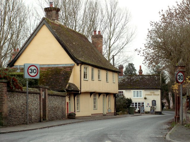
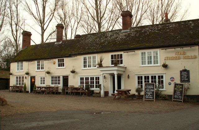
Bartlow
Bartlow is a small village and civil parish in the South Cambridgeshire district of Cambridgeshire, England, about 12 miles (19 km) south-east of Cambridge...
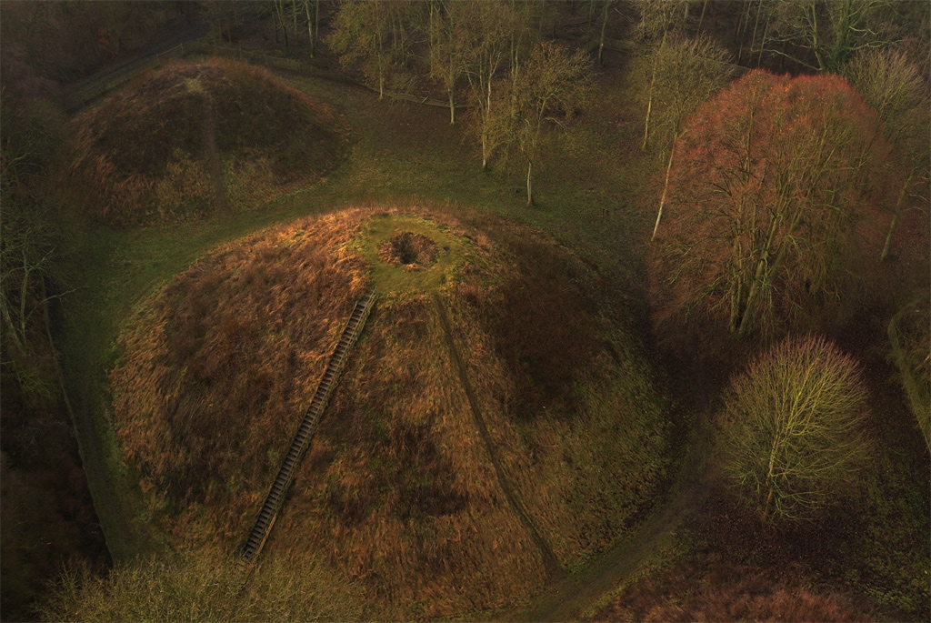
Bartlow Hills
Bartlow Hills is a Roman tumuli cemetery in Bartlow, Cambridgeshire, England. The site was in Essex until a boundary alteration in 1990. Four of the original...
Bartlow railway station
Bartlow railway station was a station in Bartlow, Cambridgeshire on the Stour Valley Railway at the junction with the Saffron Walden Railway. There were...

Barham Friary
Barham Friary was a Crutched Friars friary in Linton, Cambridgeshire, England. It was established around 1272 and was dissolved in 1538. == References ==

Horseheath
Horseheath is a village in Cambridgeshire, England, situated a few miles south-east of Cambridge, between Linton and Haverhill, on the A1307 road. It was...

Bragg's Mill, Ashdon
Bragg's Mill, William Bragg's Mill, Bartlow Hamlet Mill or Stevington End Mill is a grade II listed post mill at Ashdon, Essex, England which has been...
Langley Wood, Cambridgeshire
Langley Wood is a 31.6-hectare (78-acre) biological Site of Special Scientific Interest in Cambridgeshire, but lying between Saffron Walden in Essex and...

Caxton and Arrington Rural District
Caxton and Arrington was a rural district in Cambridgeshire, England, from 1894 to 1934. It was formed in 1894 under the Local Government Act 1894, covering...
Nearby Amenities
Located within 500m of 52.084708,0.32305915Have you been to Plum Belt?
Leave your review of Plum Belt below (or comments, questions and feedback).