Barton

Civil Parish in Cheshire

England

Barton

Byway Byway to Rowley Hill Farm.
Byway Credit: Peter McDermott

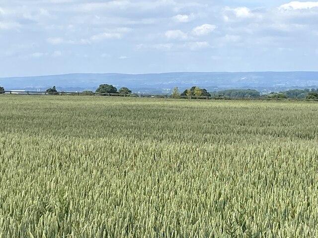
Barton is a civil parish located in the county of Cheshire, England. It is situated approximately 6 miles east of the city of Chester and covers an area of about 2.5 square miles. The parish is predominantly rural, with a population of around 500 people.

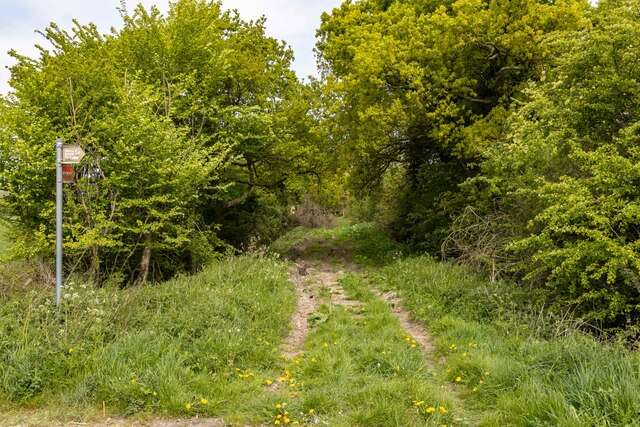
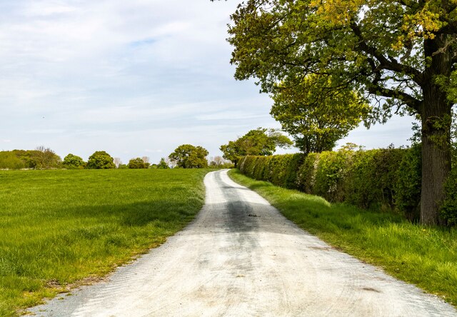
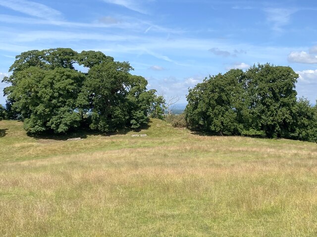
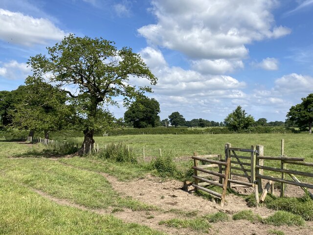
The landscape of Barton is characterized by rolling hills, open fields, and small woodlands. The area is known for its picturesque countryside, offering breathtaking views and opportunities for outdoor activities such as hiking and cycling. The local flora and fauna are diverse, with several protected species found in the parish.

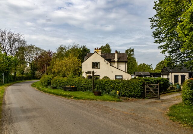
The village of Barton itself is a small and tight-knit community, with a handful of amenities including a pub, a village hall, and a primary school. The village is also home to St. Deiniol's Church, a historic building dating back to the 12th century. The church is a prominent feature of the village and attracts visitors interested in its architectural and historical significance.

Barton has a rich history, with evidence of human settlement in the area dating back to the Roman era. The village was mentioned in the Domesday Book of 1086, highlighting its long-standing presence in the region. Today, the parish retains much of its traditional charm, with a mix of old and new buildings coexisting harmoniously.

Overall, Barton offers a peaceful and idyllic countryside setting, making it an attractive place to live for those seeking a rural lifestyle while still being within close proximity to larger towns and cities.

If you have any feedback on the listing, please let us know in the comments section below.

Barton Images

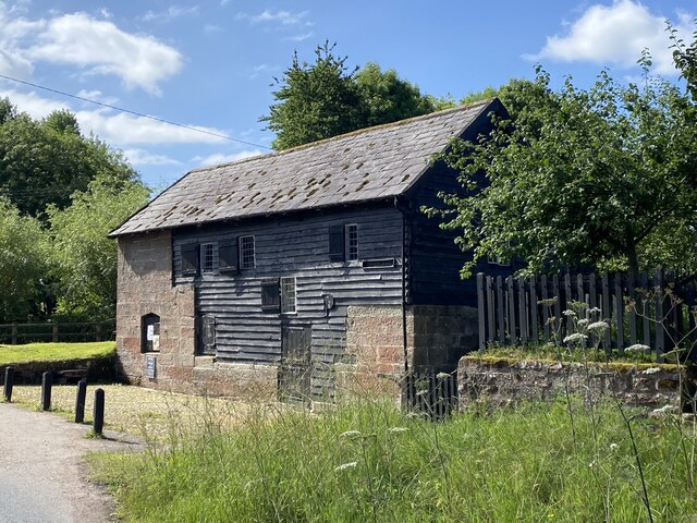
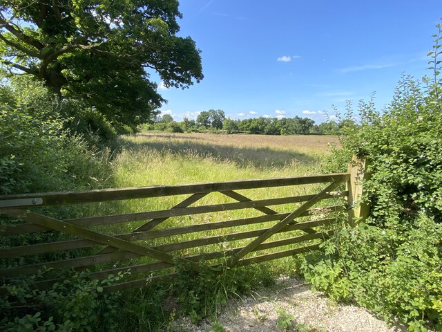
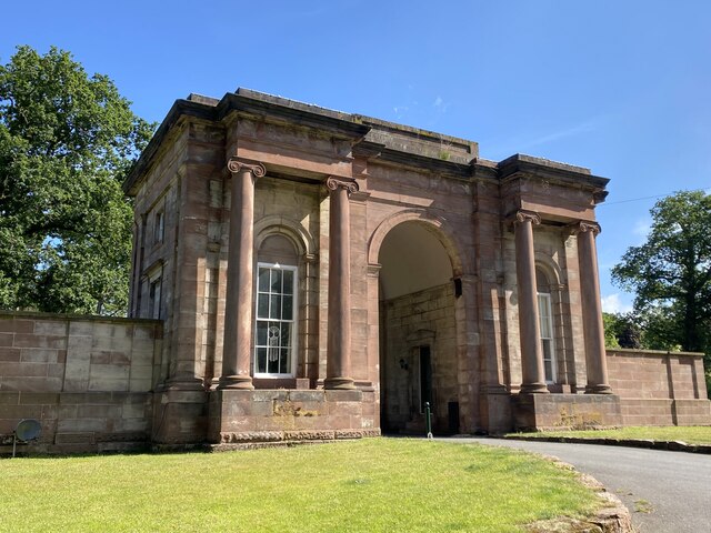
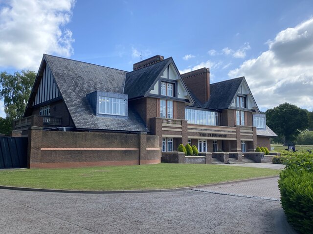
Images are sourced within 2km of 53.081944/-2.827712 or Grid Reference SJ4454. Thanks to Geograph Open Source API. All images are credited.

Byway Byway to Rowley Hill Farm.
Byway
Byway to Rowley Hill Farm.
Wetreins Cottage
Wetreins Cottage
Wetreins Lane Field access off Wetreins Lane.
Wetreins Lane
Field access off Wetreins Lane.
Field of wheat With distant views of the Welsh hills.
Field of wheat
With distant views of the Welsh hills.
Stretton Mill
Stretton Mill
Gate into field East of Stretton Mill.
Gate into field
East of Stretton Mill.
Rear gatehouse to Carden Hall
Club House, Carden Park Golf Course
Parker's Hill Field with mature trees.
Parker's Hill
Field with mature trees.
Stile in fence
Stile in fence
St Mary's Church, Coddington
Coddington Parish Room A former school building.
Coddington Parish Room
A former school building.
Reception committee
Reception committee
Farm shed with wild flowers
The Cock O'Barton Dining pub on the A534.
The Cock O'Barton
Dining pub on the A534.
Gate into field Just south of Barton.
Gate into field
Just south of Barton.
Rooted in sandstone The oak tree makes light work of the sandstone strata.
Rooted in sandstone
The oak tree makes light work of the sandstone strata.
Higher Farm
Higher Farm
Show me another place!

Barton is located at Grid Ref: SJ4454 (Lat: 53.081944, Lng: -2.827712)

Unitary Authority: Cheshire West and Chester

Police Authority: Cheshire

What 3 Words

///quilting.emeralds.proposals. Near Coddington, Cheshire

Nearby Locations

Manor Wood Barton Barton

Related Wikis

Barton, Cheshire

Barton is a village and civil parish in the unitary authority of Cheshire West and Chester and the ceremonial county of Cheshire, England. The village...

Stretton Lower Hall

Stretton Lower Hall is in the parish of Stretton in Cheshire, England. It was built in 1660, on a site that was originally moated. The house is constructed...

Stretton Old Hall

Stretton Old Hall is in the parish of Stretton in Cheshire, England. It was built in the 17th century, and extended in the 19th century. It is constructed...

St Mary's Church, Coddington

St Mary's Church is in the civil parish of Coddington, Cheshire, England. The church is recorded in the National Heritage List for England as a designated...

Stretton Watermill

Stretton Watermill is a working historic watermill in Stretton, Cheshire, England. It is owned and administered by Cheshire West and Chester Council. The...

Stretton Hall, Cheshire

Stretton Hall is a country house in the parish of Stretton in Cheshire, England. It was built in about 1763 for John Leche. The house is constructed...

Stretton, Cheshire West and Chester

Stretton is a hamlet and civil parish in the unitary authority of Cheshire West and Chester and the ceremonial county of Cheshire, England. The small,...

Coddington, Cheshire

Coddington is a civil parish in the unitary authority of Cheshire West and Chester and the ceremonial county of Cheshire, England. == See also == Listed...

Nearby Amenities

Located within 500m of 53.081944,-2.827712
Barton
Place: village
Lat/Long: 53.0825746/-2.8244475
Bus Stop
Barton, Stretton Hall Lane / Cock O' Barton PH
Bus: yes
Naptan AtcoCode: 0610CH555
Naptan Bearing: S
Naptan BusStopType: CUS
Naptan CommonName: Cock O' Barton PH
Naptan Crossing: Barton Road
Naptan Indicator: opp
Naptan Landmark: Cock O' Barton PH
Naptan LocalityName: Barton
Naptan NaptanCode: chwpwmw
Naptan ShortCommonName: Cock O' Barton PH
Naptan Street: Stretton Hall Lane
Naptan Verified: no
Public Transport: platform
Source: naptan_import
Lat/Long: 53.0816297/-2.8249684
Bus Stop
Barton, Stretton Hall Lane / Cock O' Barton PH
Bus: yes
Naptan AtcoCode: 0610CH556
Naptan Bearing: N
Naptan BusStopType: CUS
Naptan CommonName: Cock O' Barton PH
Naptan Crossing: Barton Road
Naptan Indicator: o/s
Naptan Landmark: Cock O' Barton PH
Naptan LocalityName: Barton
Naptan NaptanCode: chwpwmj
Naptan ShortCommonName: Cock O' Barton PH
Naptan Street: Stretton Hall Lane
Naptan Verified: no
Public Transport: platform
Source: naptan_import
Lat/Long: 53.0815741/-2.8252062
Parking
Access: customers
Lat/Long: 53.0812722/-2.8253456
Barrier: stile
Foot: yes
Lat/Long: 53.0835268/-2.8231933
Barrier: stile
Foot: yes
Material: wood
Step Count: 2
Stile: stepover
Lat/Long: 53.083986/-2.8233507
Barrier: stile
Foot: yes
Lat/Long: 53.0832832/-2.8230821
Barrier: stile
Material: wood
Step Count: 2
Stile: stepover
Lat/Long: 53.0787741/-2.822612
Direction: S
Generator Method: photovoltaic
Generator Output Electricity: yes
Generator Source: solar
Generator Type: solar_photovoltaic_panel
Location: roof
Power: generator
Lat/Long: 53.0831765/-2.8233964
Direction: SW
Generator Method: photovoltaic
Generator Output Electricity: yes
Generator Source: solar
Generator Type: solar_photovoltaic_panel
Location: roof
Power: generator
Lat/Long: 53.0819616/-2.8270978
Direction: SW
Generator Method: photovoltaic
Generator Output Electricity: yes
Generator Source: solar
Generator Type: solar_photovoltaic_panel
Location: roof
Power: generator
Lat/Long: 53.0818963/-2.8270455
Post Box
Collection Times: Mo-Fr 10:30; Sa 09:30; Su off
Drive Through: no
Operator: Royal Mail
Post Box Type: lamp
Ref: SY14 623
Lat/Long: 53.0830049/-2.823718
Public Bookcase
Booth: K6
Disused Amenity: telephone
Man Made: telephone_box
Public Bookcase Type: phone_box
Lat/Long: 53.0830052/-2.8238029
Bus Stop
Barton, Barton Road / Barton Farm
Bus: yes
Naptan AtcoCode: 0610CH19154
Naptan Bearing: S
Naptan BusStopType: CUS
Naptan CommonName: Barton Farm
Naptan Indicator: o/s
Naptan Landmark: Barton Farm
Naptan LocalityName: Barton
Naptan NaptanCode: chwadpja
Naptan ShortCommonName: Barton Farm
Naptan Street: Barton Road
Public Transport: platform
Source: naptan_import
Lat/Long: 53.0829827/-2.8254378
The data included in this document is from www.openstreetmap.org. The data is made available under ODbL.

Have you been to Barton?

Leave your review of Barton below (or comments, questions and feedback).