Barton
Civil Parish in Westmorland Eden
England
Barton
Barton is a civil parish located in the county of Westmorland, in the North West region of England. It is situated in the Eden District and covers an area of approximately 2 square miles. The village of Barton, after which the civil parish is named, is the main settlement within the area.
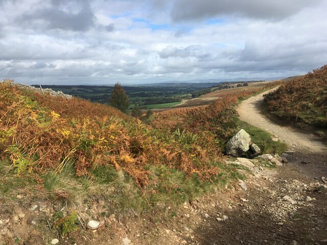
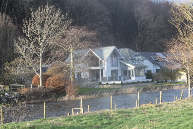
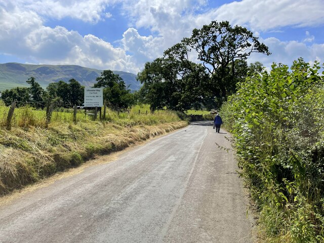
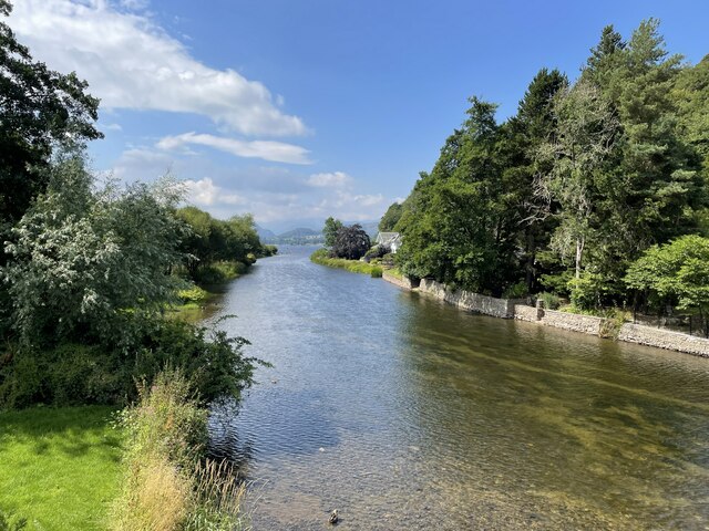
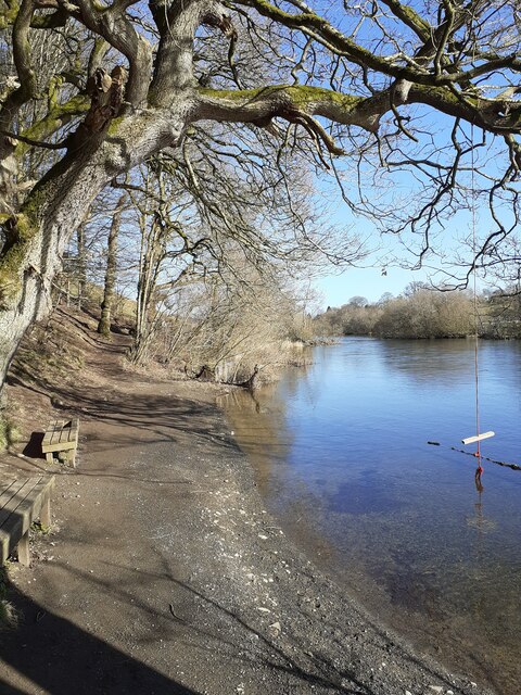
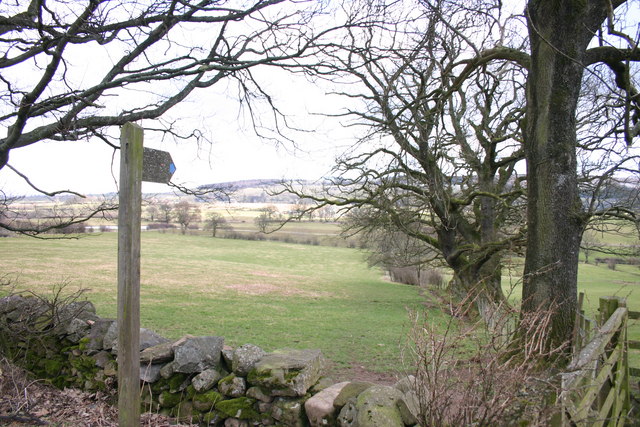
Barton is a rural parish surrounded by picturesque countryside, with rolling hills and farmland dominating the landscape. It is located near the River Eden, which meanders through the area, providing a natural boundary to the parish. The village itself is small and quaint, with a population of around 200 residents.
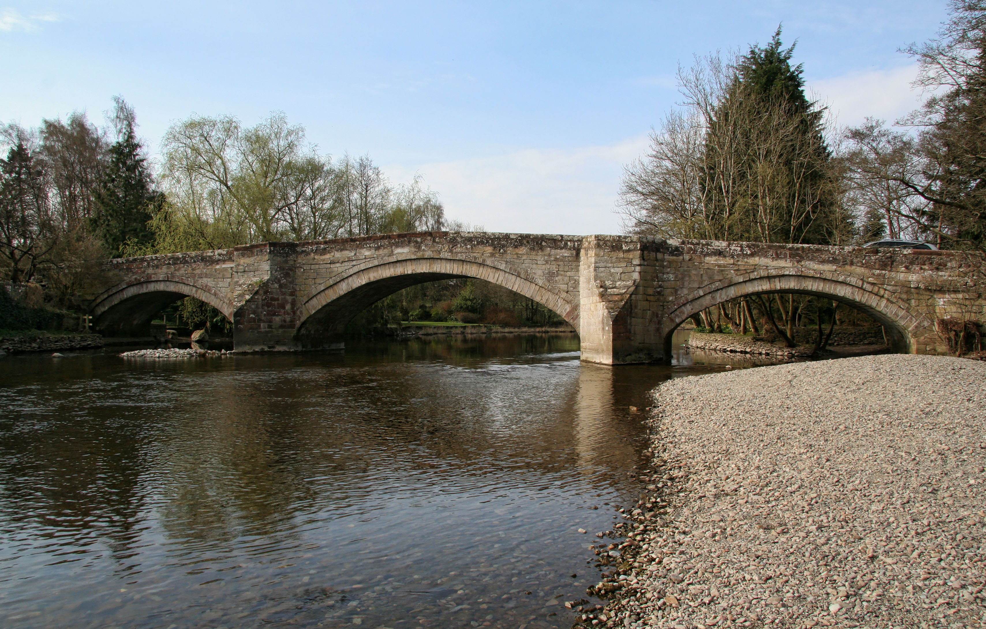
The parish is well-connected to neighboring areas by road, with the A66 and M6 motorway within close proximity. This allows for easy access to larger towns and cities, such as Penrith and Carlisle. Despite its rural location, Barton benefits from a range of amenities, including a village hall, a primary school, and a local pub.
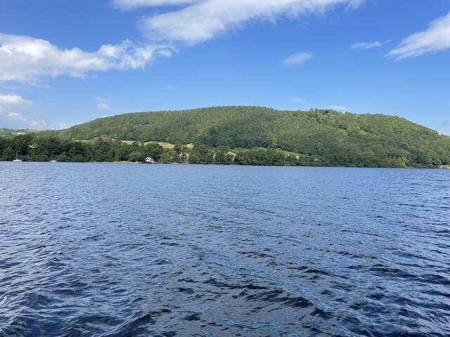
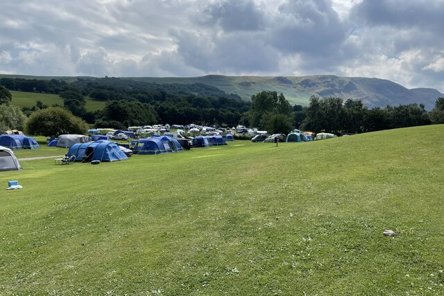
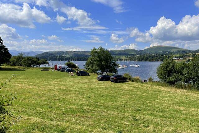
The economy of Barton is primarily based on agriculture and tourism. The fertile land surrounding the village is used for farming, with sheep and cattle rearing being the main activities. The area also attracts visitors who come to enjoy the stunning natural beauty, with opportunities for walking, cycling, and exploring the nearby Lake District National Park.
Overall, Barton, Westmorland is a peaceful and charming civil parish, offering a close-knit community, beautiful countryside, and easy access to both rural and urban amenities.
If you have any feedback on the listing, please let us know in the comments section below.
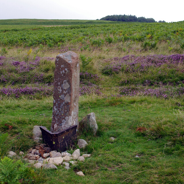
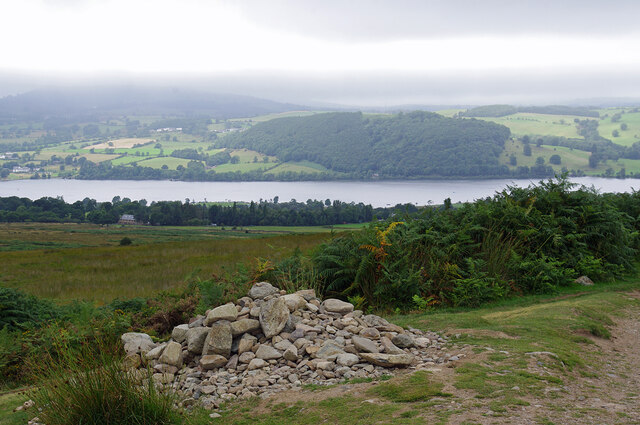
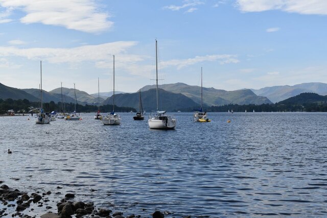
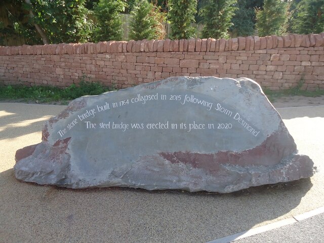
Barton Images
Images are sourced within 2km of 54.601075/-2.815814 or Grid Reference NY4723. Thanks to Geograph Open Source API. All images are credited.

Barton is located at Grid Ref: NY4723 (Lat: 54.601075, Lng: -2.815814)
Administrative County: Cumbria
District: Eden
Police Authority: Cumbria
What 3 Words
///venues.repelled.manual. Near Penrith, Cumbria
Nearby Locations
Related Wikis

Barton and Pooley Bridge
Barton and Pooley Bridge is a civil parish in Eden District, Cumbria, England. The parish is on the edge of the Lake District National Park, and had a...
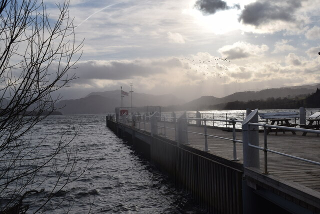
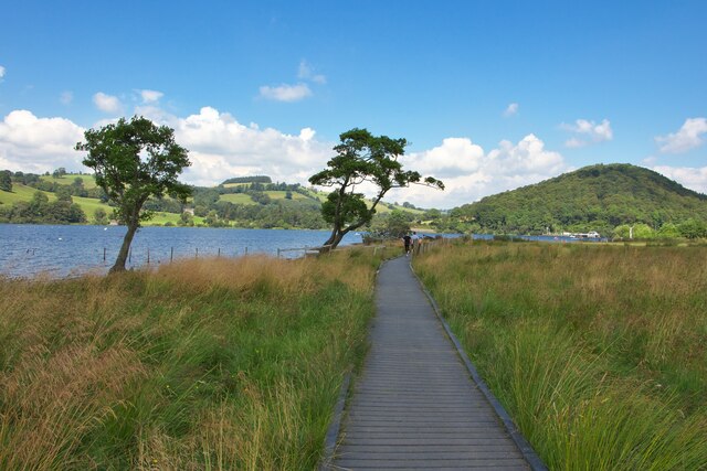
Ullswater Way
The Ullswater Way is a 20-mile (32 km) waymarked walking route around Ullswater in the English Lake District. It was created by a partnership which included...

Pooley Bridge
Pooley Bridge is a village in the Eden District of the northwestern English county of Cumbria, within the traditional borders of Westmorland. The village...
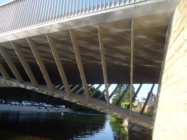
Pooley Bridge (structure)
Pooley Bridge was an historic stone road bridge that crossed the River Eamont in the village of Pooley Bridge near the northern end of Ullswater. It connected...
Heughscar Hill
Heughscar Hill is a hill in the east of the English Lake District, east of Ullswater and north of High Street, Cumbria. It is the subject of a chapter...

Dunmallet
Dunmallet or Dunmallard Hill is a small hill in the English Lake District, near Pooley Bridge, Cumbria. It is the subject of a chapter of Wainwright's...

Sharrow Bay Country House
Sharrow Bay Country House was a hotel and restaurant located on the eastern shore of Ullswater near Pooley Bridge, Cumbria, England. The hotel is associated...
Soulby, Dacre
Soulby is a hamlet in the civil parish of Dacre, near the villages of Dacre and Pooley Bridge and the A592 road, in the Eden district, in the English county...
Nearby Amenities
Located within 500m of 54.601075,-2.815814Have you been to Barton?
Leave your review of Barton below (or comments, questions and feedback).