Barton
Civil Parish in Lancashire Preston
England
Barton

Barton is a civil parish located in the county of Lancashire, in the northwest of England. It is situated approximately 6 miles northeast of the city of Preston. The parish covers an area of around 4 square miles and is bordered by the parishes of Bilsborrow, Brock, Myerscough, and Garstang.
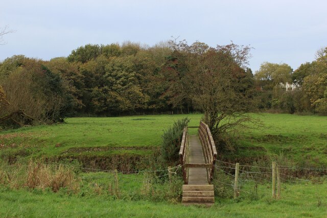
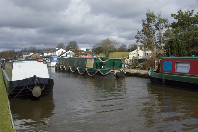
Barton is a predominantly rural area with a population of around 1,000 residents. The landscape is characterized by rolling hills, farmland, and pockets of woodland. The River Brock flows through the parish, providing a scenic backdrop and offering recreational opportunities for fishing and boating enthusiasts.
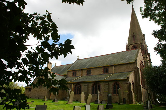
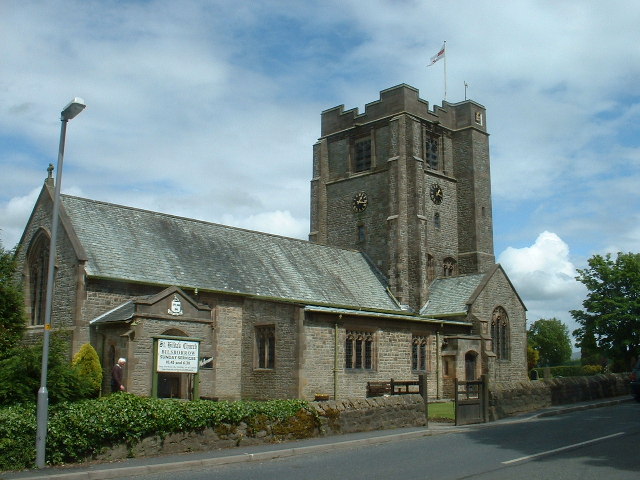
The village of Barton itself is small but charming, with a mix of traditional stone-built houses and more modern developments. It has a strong sense of community, with a local pub, a primary school, and a village hall that hosts various events throughout the year. The parish church, St. Lawrence's, is a prominent feature, dating back to the 14th century and providing a focal point for religious worship.
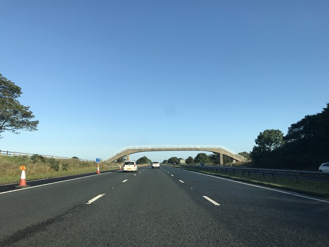
Barton is well-connected to surrounding areas via road links, with the A6 and M6 motorway providing easy access to nearby towns and cities. The parish is also served by public transport, with regular bus services running to Preston and other nearby destinations.
Overall, Barton offers a peaceful and picturesque setting, making it an attractive place to live for those seeking a rural lifestyle within easy reach of urban amenities.
If you have any feedback on the listing, please let us know in the comments section below.
Barton Images
Images are sourced within 2km of 53.835127/-2.721699 or Grid Reference SD5237. Thanks to Geograph Open Source API. All images are credited.


Barton is located at Grid Ref: SD5237 (Lat: 53.835127, Lng: -2.721699)
Administrative County: Lancashire
District: Preston
Police Authority: Lancashire
What 3 Words
///tougher.slippery.aboard. Near Goosnargh, Lancashire
Nearby Locations
Related Wikis
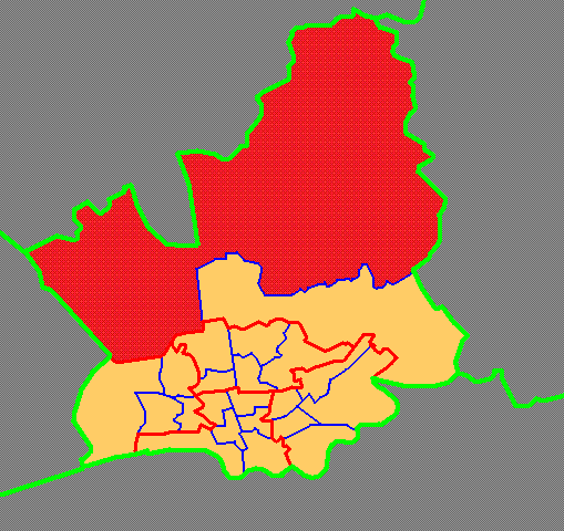
Preston Rural North
Preston Rural North is an electoral ward in the City of Preston, Lancashire, England. The ward is the largest by area in the city, containing the smaller...
Barton, Preston
Barton is a linear village and civil parish in the City of Preston, Lancashire, England. The parish had a population of 1,150, of whom 552 were male and...
St Lawrence's Church, Barton
St Lawrence's Church is in Garstang Road, Barton, Preston, Lancashire, England. It is an active Anglican parish church in the diocese of Blackburn....
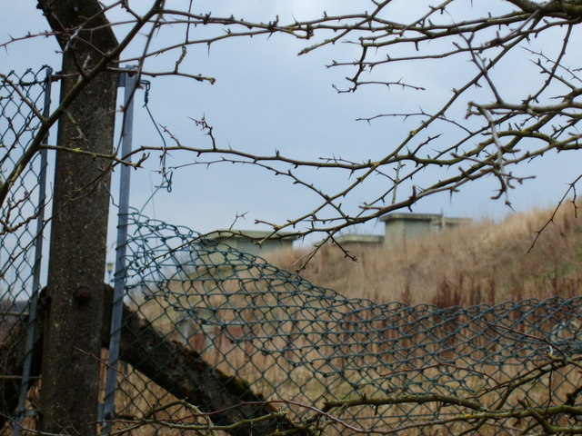
RAF Barton Hall
Royal Air Force Barton Hall or more simply RAF Barton Hall is a former Royal Air Force station situated between the villages of Barton and Broughton, near...
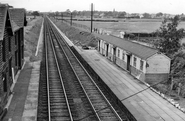
Barton and Broughton railway station
Barton and Broughton railway station served the villages of Barton and Broughton in Lancashire, England, from 1840 to 1965 on the Lancaster and Preston...

Roebuck railway station
Roebuck railway station served the village of Bilsborrow, Lancashire, England, from 1840 to 1849 on the Lancaster and Preston Junction Railway. == History... ==
St Hilda's Church, Bilsborrow
St Hilda's Church is in Bilsborrow Lane in the village of Bilsborrow, Lancashire, England. It is an active Anglican parish church in the deanery of Garstang...
Myerscough and Bilsborrow
Myerscough and Bilsborrow () is a civil parish in the Borough of Wyre in Lancashire, England. It was formed on 1 April 2003 as a merger of the former parishes...
Nearby Amenities
Located within 500m of 53.835127,-2.721699Have you been to Barton?
Leave your review of Barton below (or comments, questions and feedback).