Barthomley
Civil Parish in Cheshire
England
Barthomley
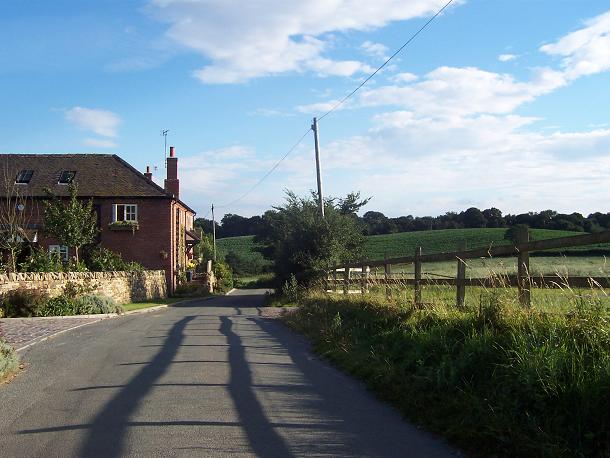
Barthomley is a civil parish located in the county of Cheshire, in the northwest of England. Situated approximately 5 miles east of Crewe, this small rural village is known for its picturesque countryside and historical significance. The parish covers an area of around 2 square miles and has a population of just over 200 residents.
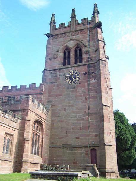
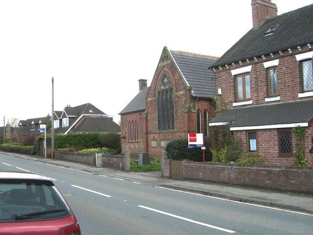
The village of Barthomley has a rich history dating back to the medieval period. It is home to the iconic Barthomley Church, also known as St. Bertoline's Church, which boasts impressive Norman architecture and is considered a Grade I listed building. The church is believed to have been founded by a Saxon saint, St. Bertoline, in the 11th century.
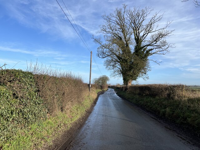
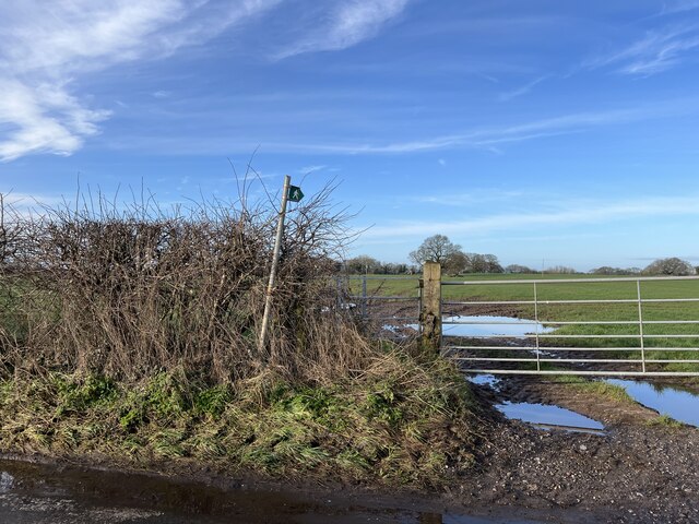
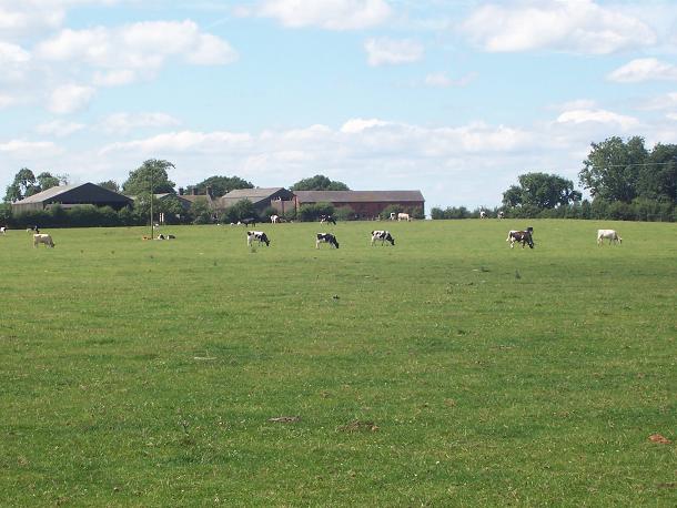
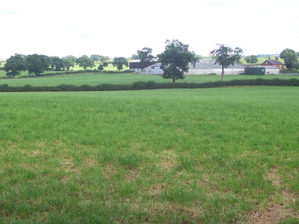
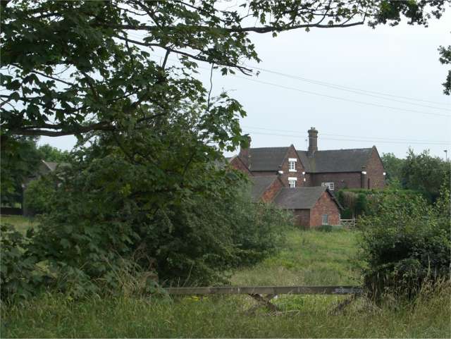
Aside from its historical attractions, Barthomley is surrounded by stunning landscapes, including fields, meadows, and woodland areas. The village is bordered by the River Weaver to the north, providing scenic views and opportunities for outdoor activities such as fishing and walking.
Despite its small size, Barthomley offers a range of amenities for its residents and visitors. These include a village hall, a primary school, and a local pub, which serves as a hub for community gatherings. The village also hosts various events throughout the year, such as a summer fete and a traditional Christmas market.
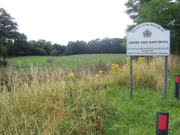
Barthomley is well-connected to neighboring towns and cities, with good road links to Crewe, Stoke-on-Trent, and Manchester. It offers a tranquil and idyllic setting, making it an attractive location for those seeking a peaceful countryside lifestyle.
If you have any feedback on the listing, please let us know in the comments section below.
Barthomley Images
Images are sourced within 2km of 53.073109/-2.349115 or Grid Reference SJ7652. Thanks to Geograph Open Source API. All images are credited.


Barthomley is located at Grid Ref: SJ7652 (Lat: 53.073109, Lng: -2.349115)
Unitary Authority: Cheshire East
Police Authority: Cheshire
What 3 Words
///bandaged.frocks.quietest. Near Weston, Cheshire
Nearby Locations
Related Wikis
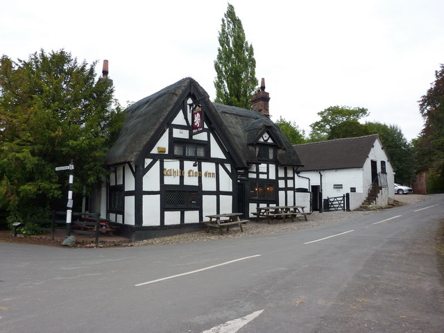
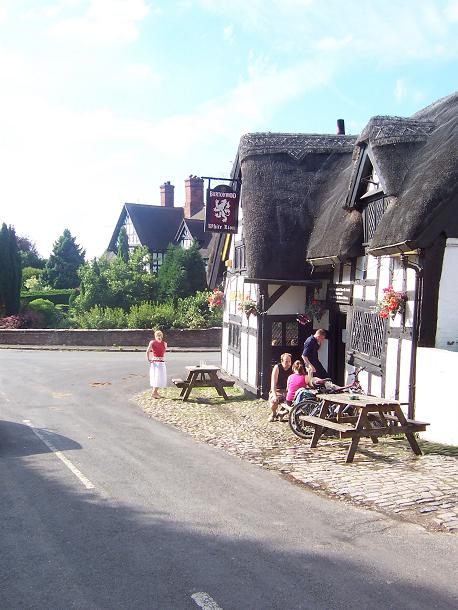
White Lion, Barthomley
The White Lion is a public house in Barthomley, Cheshire, England, just off junction 16 of the M6. It was built in 1614, and is recorded in the National...

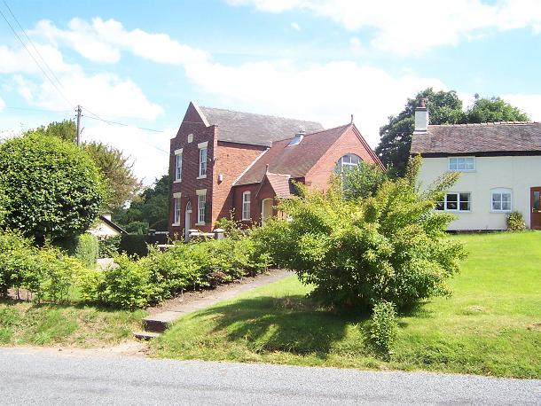
St Bertoline's Church, Barthomley
St Bertoline's Church is in the village of Barthomley, Cheshire, England. The church is recorded in the National Heritage List for England as a designated...

Barthomley
Barthomley is a village and ancient parish, and is now a civil parish in the unitary authority of Cheshire East and the ceremonial county of Cheshire...
Oakhanger, Cheshire
Oakhanger is a village in Cheshire, England, within the civil parish of Haslington and the Borough of Cheshire East, located off the B5077 road between...
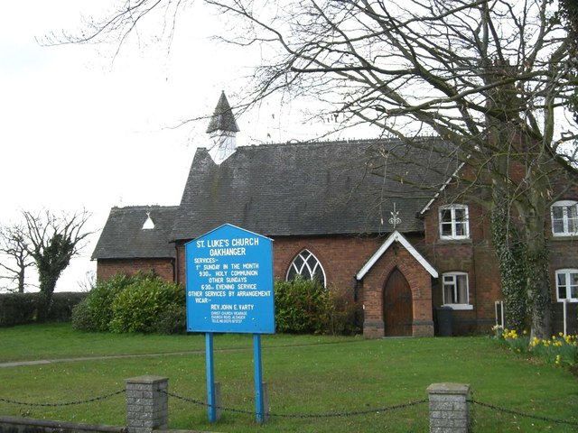
St Luke's Church, Oakhanger
St Luke's Church is in Church Lane, Oakhanger, Cheshire, England. It is an active Anglican mission church in the parish of Christ Church, Alsager, the...
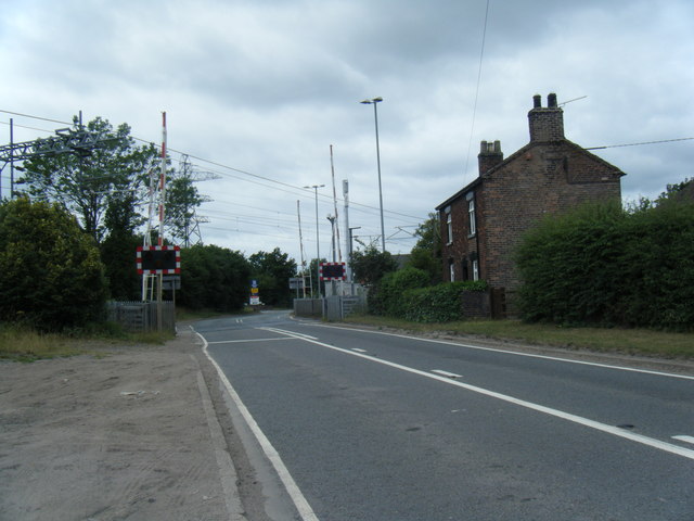
Radway Green & Barthomley railway station
Radway Green & Barthomley railway station was built by the North Staffordshire Railway (NSR) and served the small Cheshire communities of Radway Green...
Englesea Brook Chapel and Museum
Englesea Brook Chapel and Museum is in the village of Englesea-Brook, Cheshire, England. Built in 1828, the chapel was one of the earliest chapels of...

ROF Radway Green
The former Royal Ordnance Factory (ROF), Radway Green manufactures small arms ammunition for the British armed forces. It is located in the hamlet of Radway...
Nearby Amenities
Located within 500m of 53.073109,-2.349115Have you been to Barthomley?
Leave your review of Barthomley below (or comments, questions and feedback).