Bartestree
Civil Parish in Herefordshire
England
Bartestree
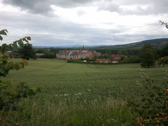
Bartestree is a civil parish located in the county of Herefordshire, England. Situated approximately four miles east of the city of Hereford, it is a rural area surrounded by picturesque countryside. The parish covers an area of around 4.5 square kilometers and is home to a population of around 1,500 residents.
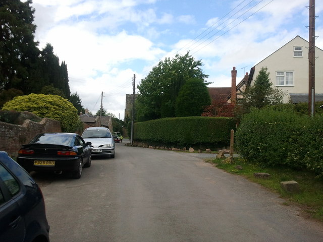
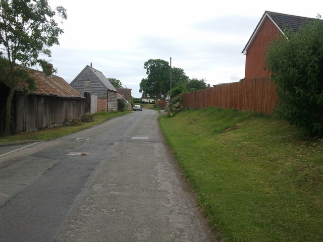
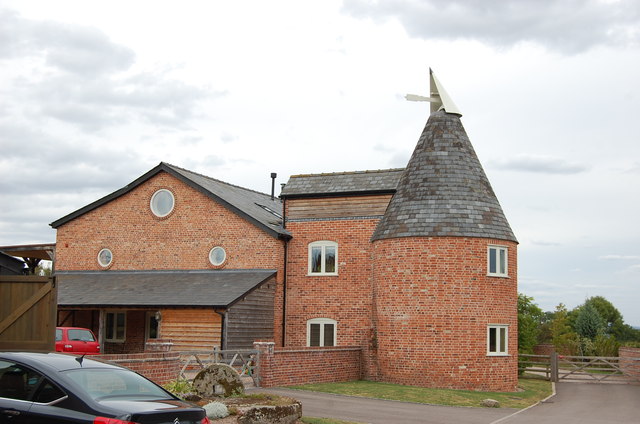
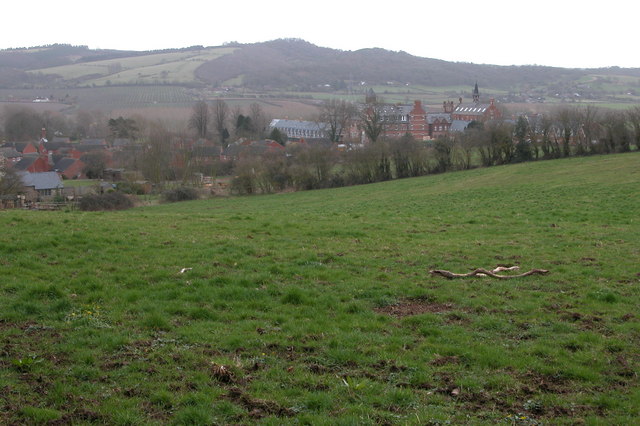
Bartestree is known for its charming and idyllic setting, with rolling hills, lush green fields, and quaint cottages dotting the landscape. The parish is primarily residential, with a mix of old and new houses, providing a peaceful and tranquil living environment.
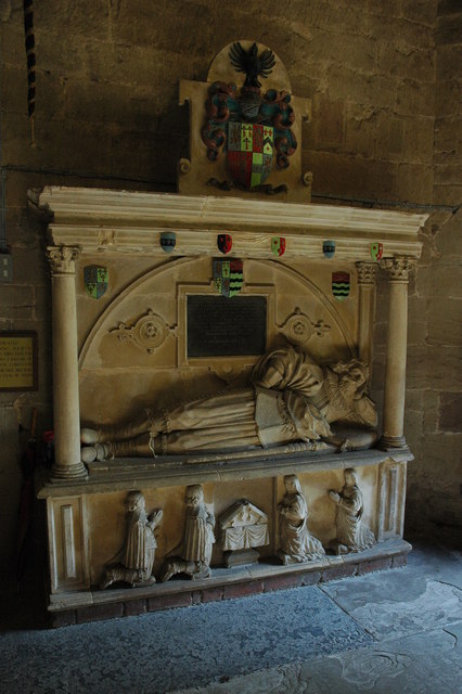
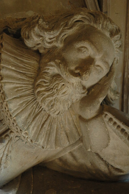
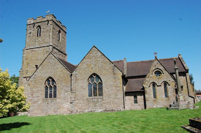
The village itself has a strong sense of community, with various activities and events organized throughout the year. There is a local church, St. Michael and All Angels, which dates back to the 12th century and is a prominent landmark in the area.
The parish benefits from its proximity to the city of Hereford, providing residents with easy access to a range of amenities and services. Hereford offers a wide range of shops, supermarkets, restaurants, and leisure facilities, ensuring that residents have all they need within a short distance.
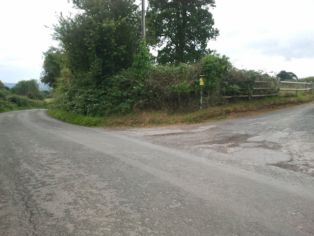
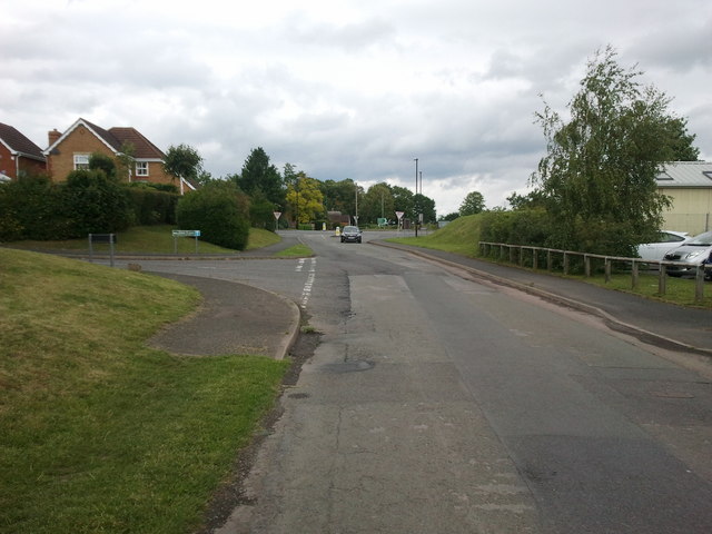
Bartestree is well-connected to the rest of the county, with good transportation links including bus services and nearby road connections. The surrounding countryside provides opportunities for outdoor activities such as walking, cycling, and horse riding, making Bartestree an attractive place for nature lovers and those seeking a peaceful rural lifestyle.
If you have any feedback on the listing, please let us know in the comments section below.
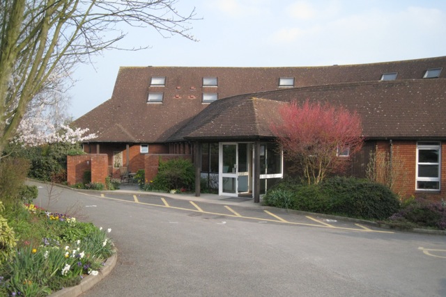
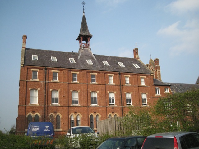
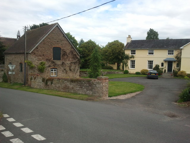
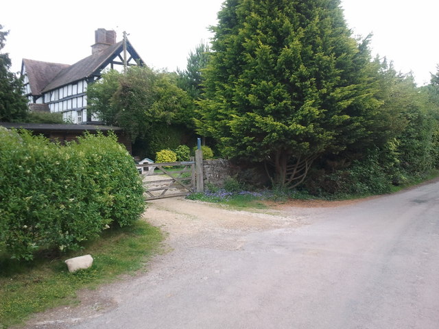
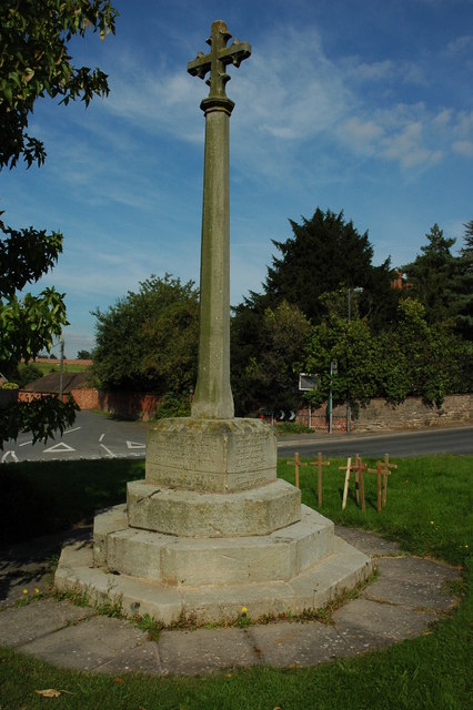
Bartestree Images
Images are sourced within 2km of 52.067281/-2.629397 or Grid Reference SO5641. Thanks to Geograph Open Source API. All images are credited.


Bartestree is located at Grid Ref: SO5641 (Lat: 52.067281, Lng: -2.629397)
Unitary Authority: County of Herefordshire
Police Authority: West Mercia
What 3 Words
///jukebox.loud.romantics. Near Lugwardine, Herefordshire
Nearby Locations
Related Wikis
Bartestree
Bartestree is a village and civil parish in Herefordshire, England, 7 km (4.3 mi) east of Hereford on the A438 road. The population of the civil parish...

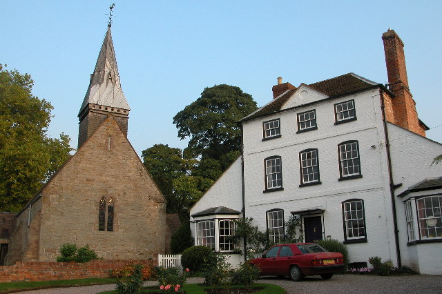
Longworth Roman Catholic Chapel
Longworth Roman Catholic Chapel is a redundant chapel in the village of Bartestree, Herefordshire, England, standing adjacent to the former Convent of...

River Frome, Herefordshire
The River Frome is a river in Herefordshire, England. It flows through Bromyard, and Bishops Frome. Immediately below the depopulated village of Stretton...
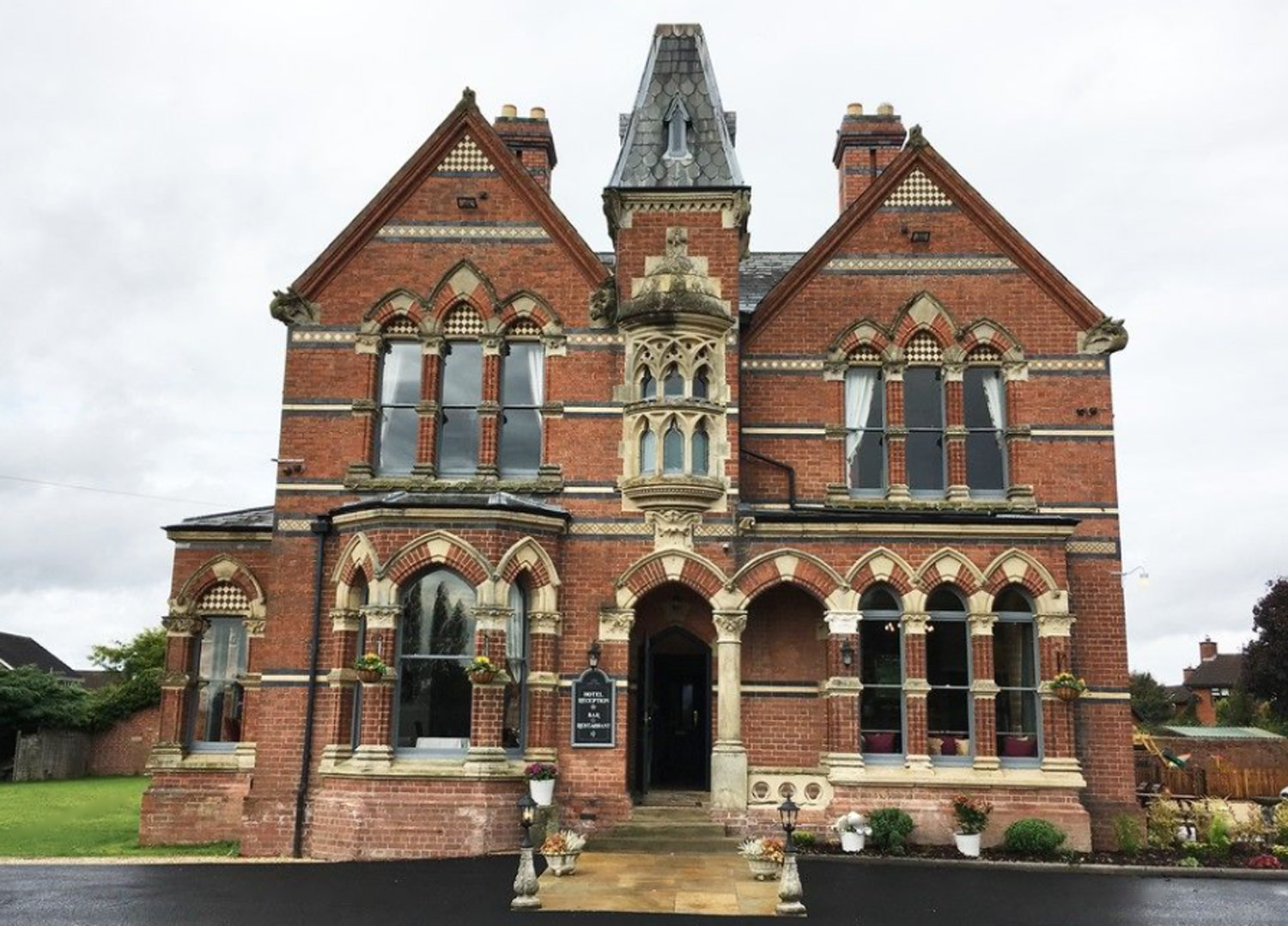
The Godwins Hotel, Bartestree
The Godwins Hotel in Bartestree, Herefordshire, England, is a building of historical significance and is Grade II listed on the English Heritage Register...
Withington railway station (Herefordshire)
Withington railway station was a station in Withington, Herefordshire, England. The station was opened in 1861 and closed in 1961 == References == ��2...
Weston Beggard
Weston Beggard is a small civil parish and hamlet in Herefordshire, England. It is located between the villages of Shucknall and Bartestree and lies approximately...
Dormington
Dormington is a village and civil parish in Herefordshire, in the West Midlands of England. Dormington village is at the north of its parish, 5 miles...
St Mary's Roman Catholic High School, Lugwardine
St. Mary's Roman Catholic School is a coeducational secondary school in the village of Lugwardine in Herefordshire, England which takes children of ages...
Nearby Amenities
Located within 500m of 52.067281,-2.629397Have you been to Bartestree?
Leave your review of Bartestree below (or comments, questions and feedback).