Barnby Moor
Civil Parish in Nottinghamshire Bassetlaw
England
Barnby Moor
Barnby Moor is a civil parish located in the county of Nottinghamshire, England. Situated about 4 miles southeast of the market town of Retford, it covers an area of approximately 6.5 square kilometers. The parish is surrounded by the neighbouring parishes of Sutton cum Lound to the north, Ranskill to the east, Torworth and Misson to the south, and Babworth to the west.
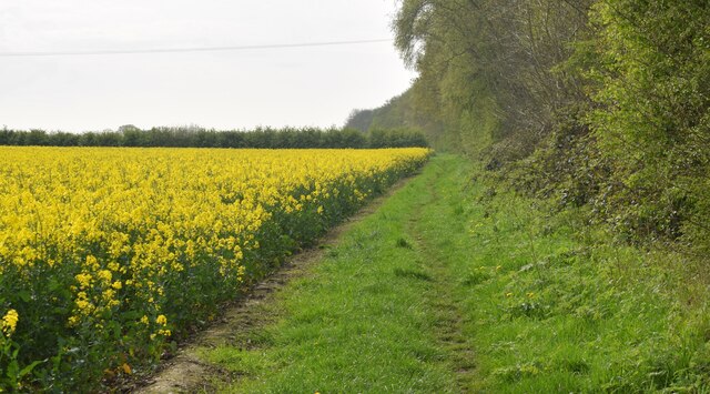
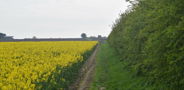
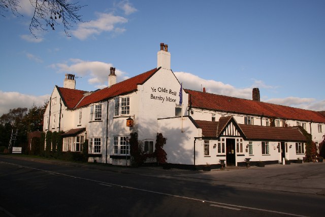
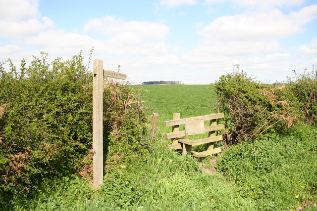
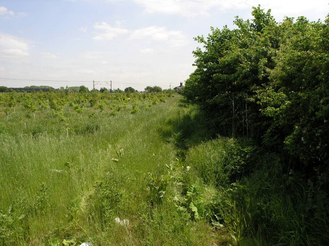
The area is predominantly rural, with a mix of agricultural land, small woodlands, and scattered residential properties. Barnby Moor itself is a small village within the civil parish, featuring a handful of houses, a church, and a village hall. The village is known for its quaint charm and peaceful atmosphere, making it an attractive place for those seeking a tranquil countryside lifestyle.
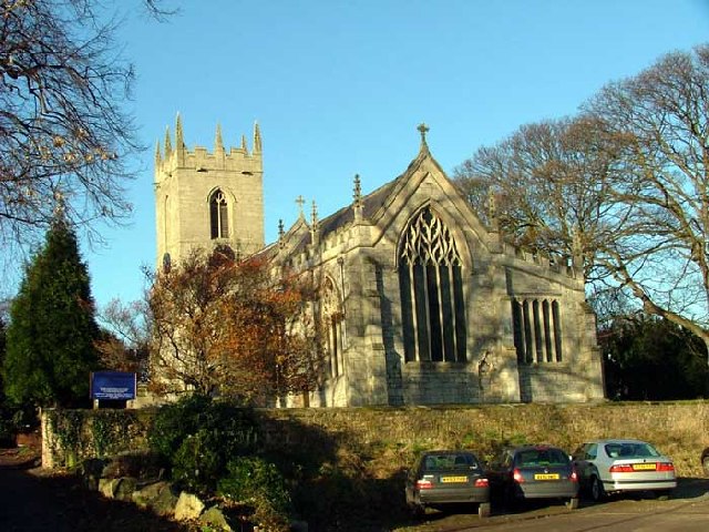
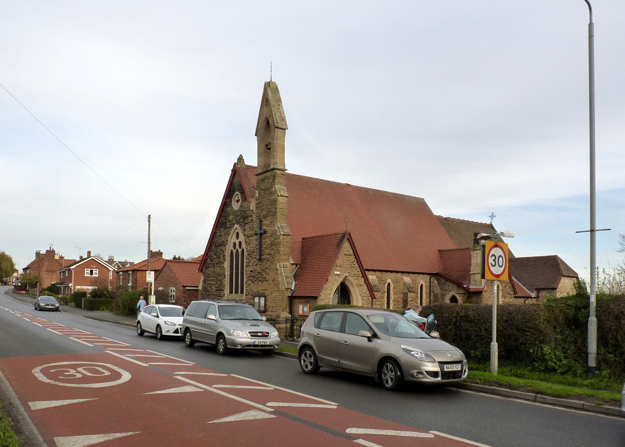
The church, dedicated to St. Andrew, dates back to the 12th century and is a Grade II listed building. It serves as a place of worship for the local community and also attracts tourists interested in its historical and architectural significance.
Barnby Moor is well-connected to other towns and cities in the region, with the A1 road passing through the parish, providing easy access to Retford, Doncaster, and Nottingham. The nearby Retford railway station offers regular train services to major cities such as London and Sheffield.
Overall, Barnby Moor offers a picturesque rural setting with its scenic landscapes, historic buildings, and convenient transport links, making it a desirable location for residents and visitors alike.
If you have any feedback on the listing, please let us know in the comments section below.
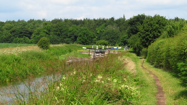
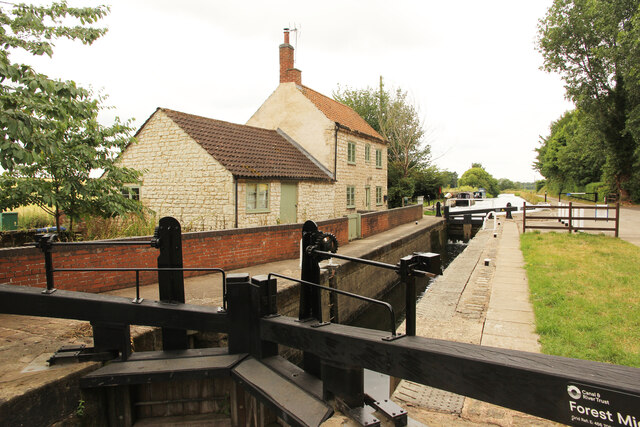
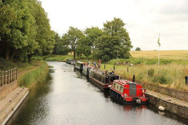
Barnby Moor Images
Images are sourced within 2km of 53.352979/-1.008251 or Grid Reference SK6684. Thanks to Geograph Open Source API. All images are credited.


Barnby Moor is located at Grid Ref: SK6684 (Lat: 53.352979, Lng: -1.008251)
Administrative County: Nottinghamshire
District: Bassetlaw
Police Authority: Nottinghamshire
What 3 Words
///solutions.legroom.dairies. Near Ranskill, Nottinghamshire
Nearby Locations
Related Wikis

Barnby Moor
Barnby Moor is a village and civil parish in the Bassetlaw district of Nottinghamshire, England, with a population of 257 (2001 census), increasing to...
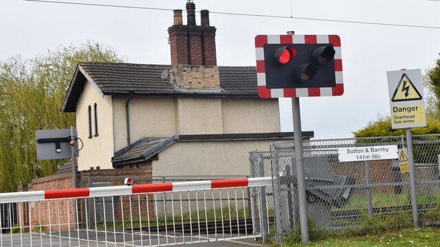
Barnby Moor and Sutton railway station
Barnby Moor and Sutton railway station served the village of Barnby Moor and Sutton cum Lound, Nottinghamshire, England from 1850 to 1949 on the East Coast...
Sutton cum Lound
Sutton Cum Lound is a village located in Bassetlaw, north Nottinghamshire. It is located 3 miles from Retford. The civil parish is called Sutton. According...

St Bartholomew's Church, Sutton-cum-Lound
St Bartholomew's Church, Sutton cum Lound is a Grade I listed parish church in the Church of England in Sutton cum Lound. == History == The church dates...
Torworth
Torworth () is a small village on the A638 or 'Great North Road' in North Nottinghamshire. According to the 2001 census it had a population of 264, falling...
Ranskill
Ranskill is a village and civil parish in the Bassetlaw district of Nottinghamshire, England, with its nearest town being Retford approximately 5 miles...
Bilby, Nottinghamshire
Bilby is a hamlet in Nottinghamshire, England. It is part of the civil parish of Barnby Moor. It is located 5 miles west of Retford, close to the A1 road...
ROF Ranskill
The Royal Ordnance Factory (ROF) Ranskill was a United Kingdom Ministry of Supply, World War II, Explosive ROF. It was built to manufacture cordite and...
Nearby Amenities
Located within 500m of 53.352979,-1.008251Have you been to Barnby Moor?
Leave your review of Barnby Moor below (or comments, questions and feedback).