Icehouse Plantation
Wood, Forest in Nottinghamshire Bassetlaw
England
Icehouse Plantation

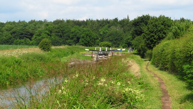
Icehouse Plantation is a picturesque woodland area located in Nottinghamshire, England. Spread over a vast expanse, this plantation is known for its dense forests and abundant wildlife. The plantation is situated close to the village of Wood, providing visitors with a tranquil escape from the bustling city life.
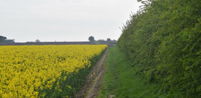
The woodland of Icehouse Plantation is dominated by a variety of native tree species, including oak, birch, and beech, which create a rich and diverse ecosystem. The thick foliage provides a haven for numerous bird species, making it a popular destination for birdwatchers. Visitors can spot species such as woodpeckers, owls, and various songbirds throughout the year.
One of the notable features of Icehouse Plantation is its historic icehouse, from which the plantation derives its name. The icehouse was used in the past to store ice during the warmer months, providing a valuable resource for the nearby estates. Although the icehouse is no longer in use, it serves as a reminder of the area's fascinating history.
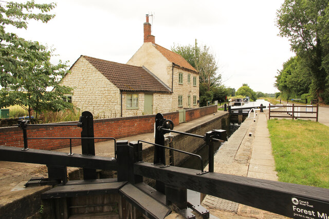
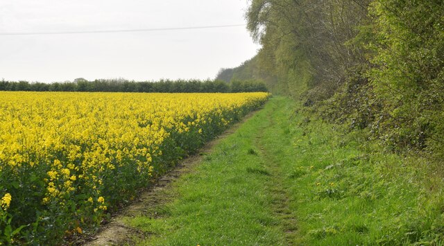
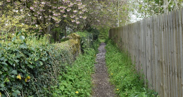
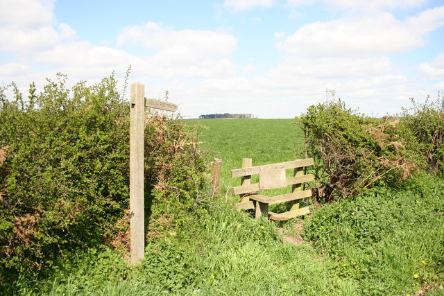
Icehouse Plantation offers a range of walking trails, allowing visitors to explore the woodland at their leisure. These trails provide an opportunity to immerse oneself in the tranquility of nature while enjoying the beautiful scenery. It is advisable to wear appropriate footwear as some parts of the trails can be uneven.
Overall, Icehouse Plantation in Nottinghamshire is a hidden gem for nature enthusiasts, offering a peaceful retreat amidst the beauty of woodlands and forests.
If you have any feedback on the listing, please let us know in the comments section below.
Icehouse Plantation Images
Images are sourced within 2km of 53.349156/-1.0021047 or Grid Reference SK6684. Thanks to Geograph Open Source API. All images are credited.


Icehouse Plantation is located at Grid Ref: SK6684 (Lat: 53.349156, Lng: -1.0021047)
Administrative County: Nottinghamshire
District: Bassetlaw
Police Authority: Nottinghamshire
What 3 Words
///hinders.replaces.intrigues. Near Babworth, Nottinghamshire
Nearby Locations
Related Wikis

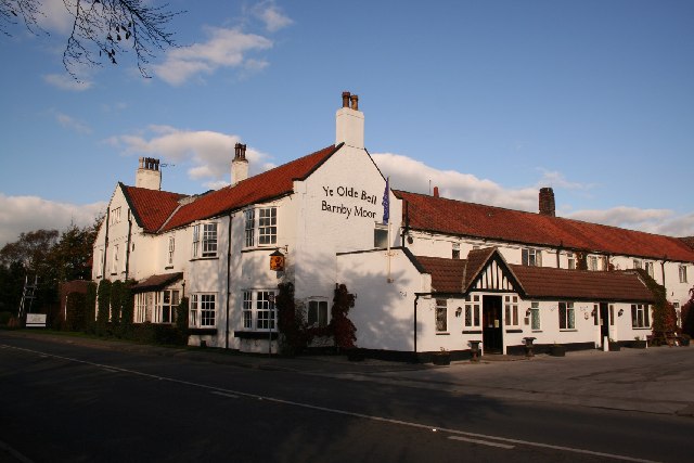
Barnby Moor
Barnby Moor is a village and civil parish in the Bassetlaw district of Nottinghamshire, England, with a population of 257 (2001 census), increasing to...
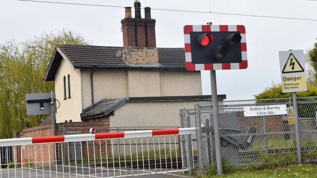
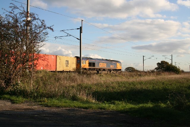
Barnby Moor and Sutton railway station
Barnby Moor and Sutton railway station served the village of Barnby Moor and Sutton cum Lound, Nottinghamshire, England from 1850 to 1949 on the East Coast...
Sutton cum Lound
Sutton Cum Lound is a village located in Bassetlaw, north Nottinghamshire. It is located 3 miles from Retford. The civil parish is called Sutton. According...

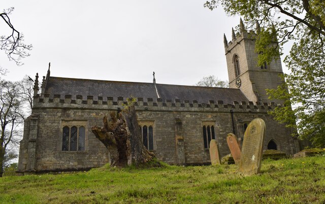
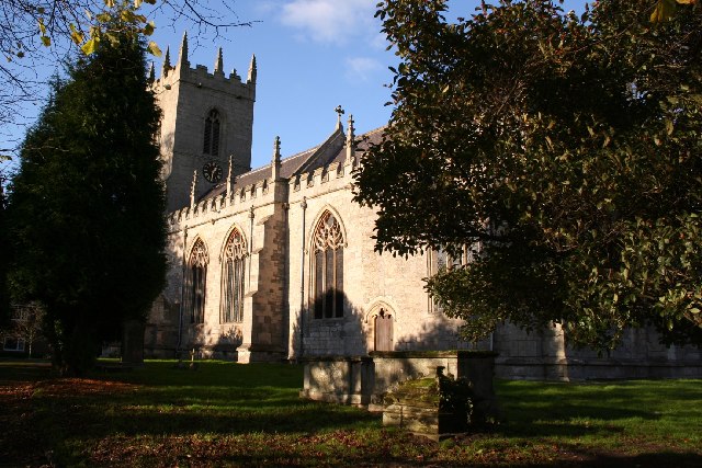
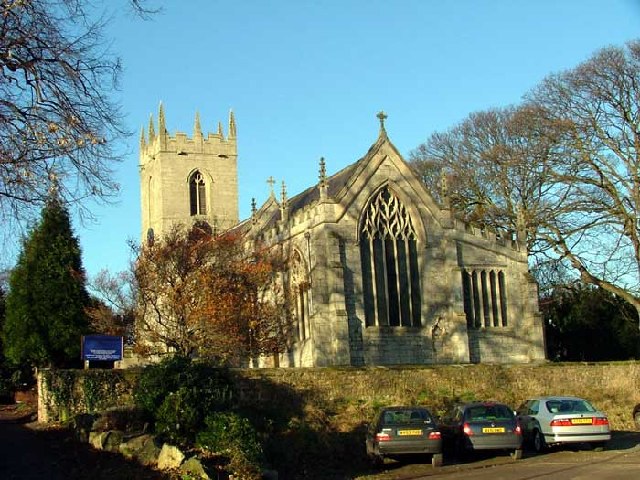
St Bartholomew's Church, Sutton-cum-Lound
St Bartholomew's Church, Sutton cum Lound is a Grade I listed parish church in the Church of England in Sutton cum Lound. == History == The church dates...
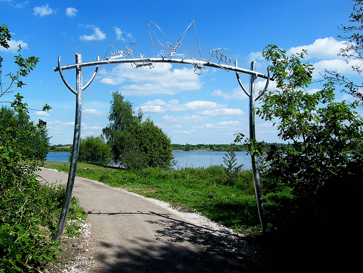
Idle Valley Nature Reserve
The Idle Valley Nature Reserve, also known as Lound Gravel Pits or Sutton and Lound Gravel Pits, is a wetland Site of Special Scientific Interest (SSSI...
HM Prison Ranby
HM Prison Ranby is a Category C men's prison, located in the village of Ranby in Nottinghamshire, England. The prison is operated by His Majesty's Prison...
Bilby, Nottinghamshire
Bilby is a hamlet in Nottinghamshire, England. It is part of the civil parish of Barnby Moor. It is located 5 miles west of Retford, close to the A1 road...
Tiln
Tiln is a hamlet in the civil parish of Hayton, in the Bassetlaw district, in the county of Nottinghamshire, England. It is located on the River Idle,...
Nearby Amenities
Located within 500m of 53.349156,-1.0021047Have you been to Icehouse Plantation?
Leave your review of Icehouse Plantation below (or comments, questions and feedback).