Ash Holt
Wood, Forest in Nottinghamshire Bassetlaw
England
Ash Holt
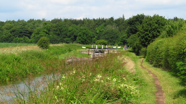
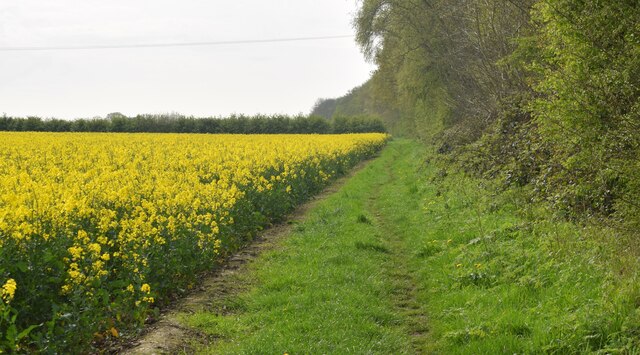
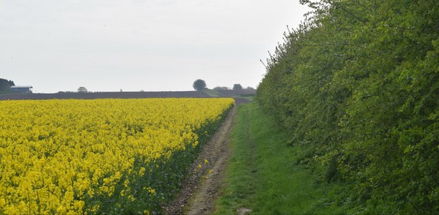
Ash Holt is a small village located in Nottinghamshire, England. Situated within the district of Ashfield, it is known for its lush woodlands and picturesque forest scenery. The village is surrounded by rolling hills and is bordered by the popular Sherwood Forest, famous for its association with the legendary outlaw Robin Hood.
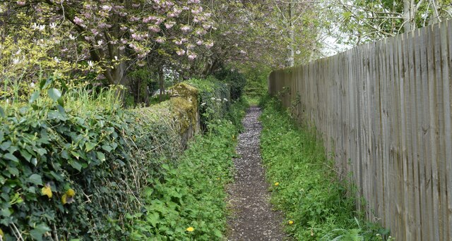
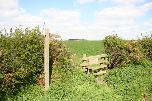
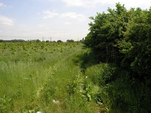
Ash Holt offers a tranquil and idyllic setting, making it a haven for nature enthusiasts and outdoor lovers. The village is characterized by its dense woodlands, which provide ample opportunities for hiking, cycling, and exploring the local flora and fauna. The forest is home to a variety of wildlife, including deer, foxes, and various bird species, making it a perfect spot for birdwatching and wildlife photography.
Despite its rural ambiance, Ash Holt is well-connected to nearby towns and cities. The village benefits from excellent transport links, with regular bus services and easy access to major road networks. The nearby town of Sutton-in-Ashfield provides a range of amenities such as shops, supermarkets, and schools, ensuring that residents have convenient access to essential services.
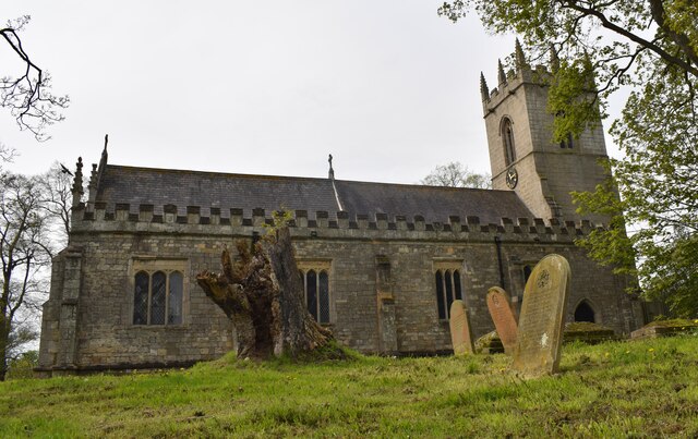
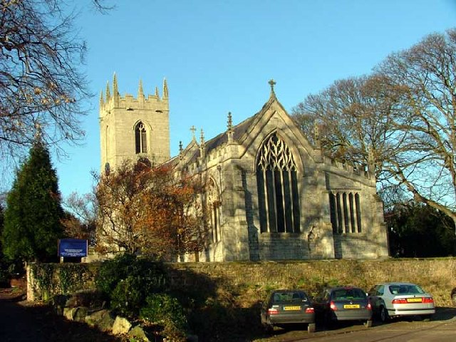
Ash Holt is also rich in history and culture. The village boasts several historical landmarks, including St. Mary's Church, a beautiful medieval church with stunning architecture and a rich heritage. Additionally, the village hosts various community events throughout the year, including festivals, fairs, and local markets, which attract visitors from near and far.
In summary, Ash Holt is a charming village nestled in the heart of Nottinghamshire's woodlands and forests. With its natural beauty, convenient location, and rich history, it offers a peaceful and inviting environment for residents and visitors alike.
If you have any feedback on the listing, please let us know in the comments section below.
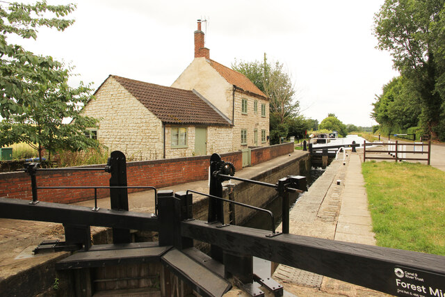
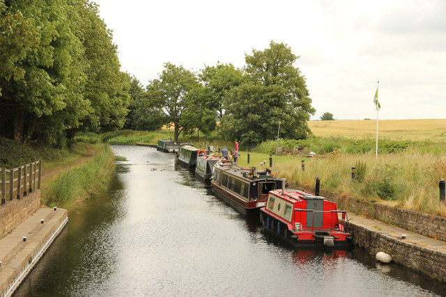
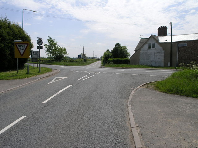
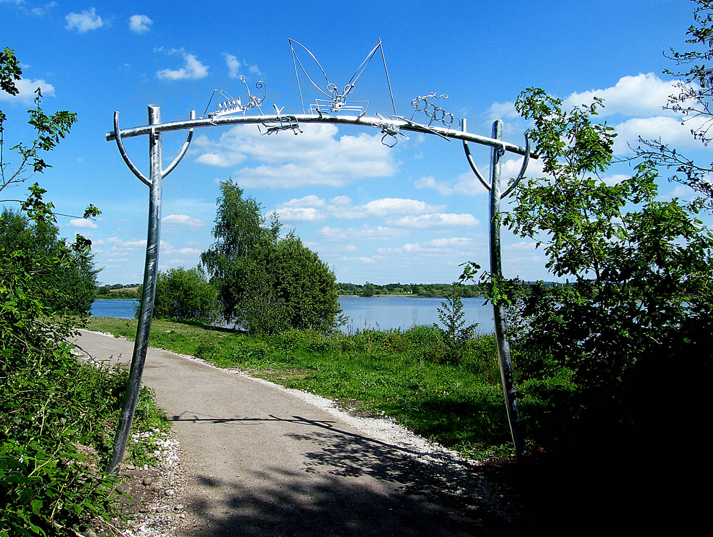
Ash Holt Images
Images are sourced within 2km of 53.355325/-0.99698752 or Grid Reference SK6684. Thanks to Geograph Open Source API. All images are credited.

Ash Holt is located at Grid Ref: SK6684 (Lat: 53.355325, Lng: -0.99698752)
Administrative County: Nottinghamshire
District: Bassetlaw
Police Authority: Nottinghamshire
What 3 Words
///solicitor.selling.stocks. Near Ranskill, Nottinghamshire
Nearby Locations
Related Wikis

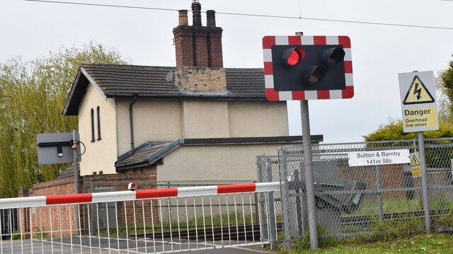
Barnby Moor and Sutton railway station
Barnby Moor and Sutton railway station served the village of Barnby Moor and Sutton cum Lound, Nottinghamshire, England from 1850 to 1949 on the East Coast...
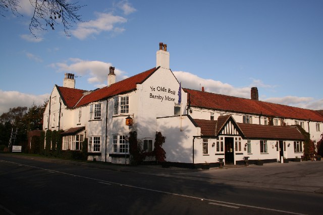
Barnby Moor
Barnby Moor is a village and civil parish in the Bassetlaw district of Nottinghamshire, England, with a population of 257 (2001 census), increasing to...

St Bartholomew's Church, Sutton-cum-Lound
St Bartholomew's Church, Sutton cum Lound is a Grade I listed parish church in the Church of England in Sutton cum Lound. == History == The church dates...
Sutton cum Lound
Sutton Cum Lound is a village located in Bassetlaw, north Nottinghamshire. It is located 3 miles from Retford. The civil parish is called Sutton. According...
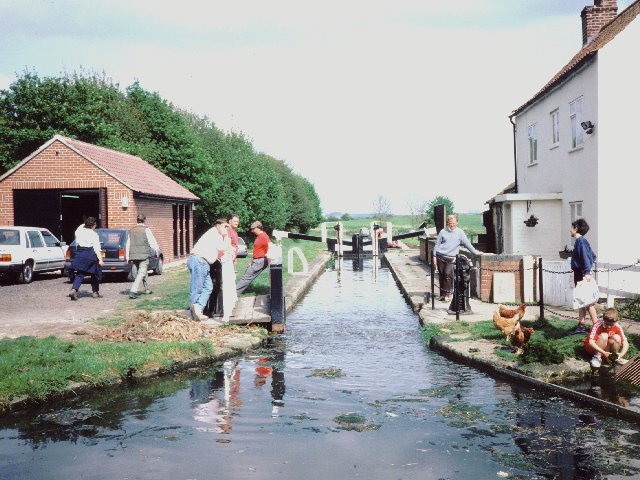
Idle Valley Nature Reserve
The Idle Valley Nature Reserve, also known as Lound Gravel Pits or Sutton and Lound Gravel Pits, is a wetland Site of Special Scientific Interest (SSSI...
ROF Ranskill
The Royal Ordnance Factory (ROF) Ranskill was a United Kingdom Ministry of Supply, World War II, Explosive ROF. It was built to manufacture cordite and...
Torworth
Torworth () is a small village on the A638 or 'Great North Road' in North Nottinghamshire. According to the 2001 census it had a population of 264, falling...
Lound, Nottinghamshire
Lound is a village in Nottinghamshire, England, four miles north of Retford. It has a population of 493, reducing to 471 at the 2011 census. The village...
Nearby Amenities
Located within 500m of 53.355325,-0.99698752Have you been to Ash Holt?
Leave your review of Ash Holt below (or comments, questions and feedback).