Icknieldbank Plantation
Wood, Forest in Oxfordshire South Oxfordshire
England
Icknieldbank Plantation
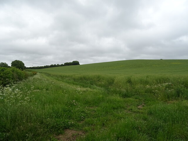
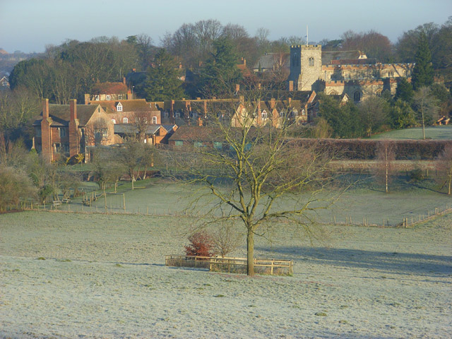
Icknieldbank Plantation is a picturesque woodland located in Oxfordshire, England. Situated near the village of Woodcote, it covers an area of approximately 100 hectares and is part of the larger Chiltern Hills Area of Outstanding Natural Beauty.
The plantation is predominantly made up of deciduous trees, with a diverse mix of oak, beech, birch, and ash being the most prominent species. These trees provide a rich habitat for a variety of wildlife, including birds such as woodpeckers, nightingales, and tawny owls. The woodland floor is adorned with an array of wildflowers, ferns, and mosses, creating a lush and vibrant undergrowth.
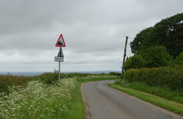
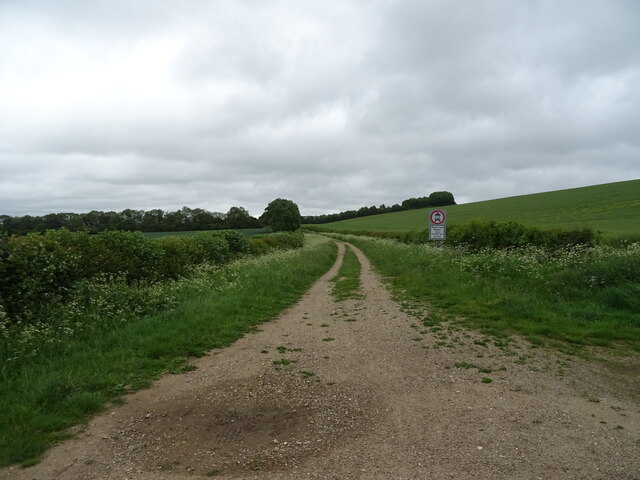
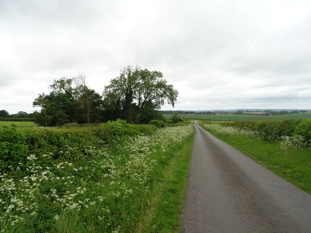
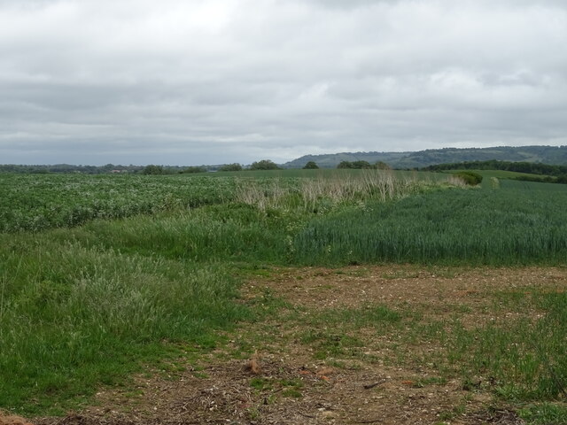
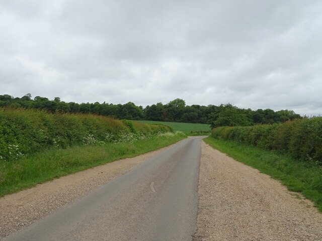
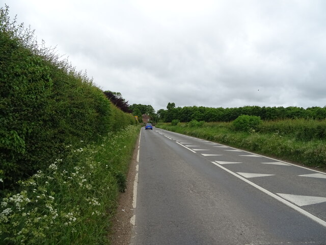
Traversing through Icknieldbank Plantation, visitors can explore a network of well-maintained footpaths that wind their way through the woodland. These paths offer stunning views of the surrounding countryside and make the plantation a popular destination for walkers, nature enthusiasts, and photographers alike.
In addition to its natural beauty, Icknieldbank Plantation holds historical significance. The area was once part of an ancient Roman road, known as Icknield Way, which connected the eastern coast of England to the southwest. Today, remnants of this historical route can still be seen in the form of sunken trackways and ditches within the woodland.
Overall, Icknieldbank Plantation is a haven of tranquility and natural splendor. Its enchanting woodlands, diverse flora and fauna, and historical remnants make it a cherished destination for those seeking to immerse themselves in the beauty of the Oxfordshire countryside.
If you have any feedback on the listing, please let us know in the comments section below.
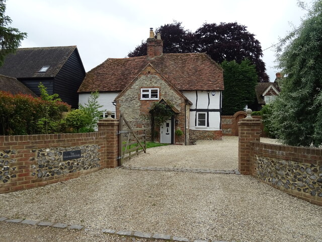
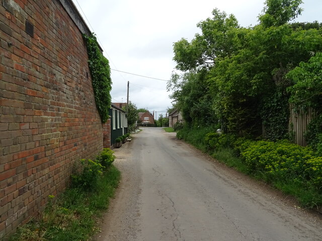
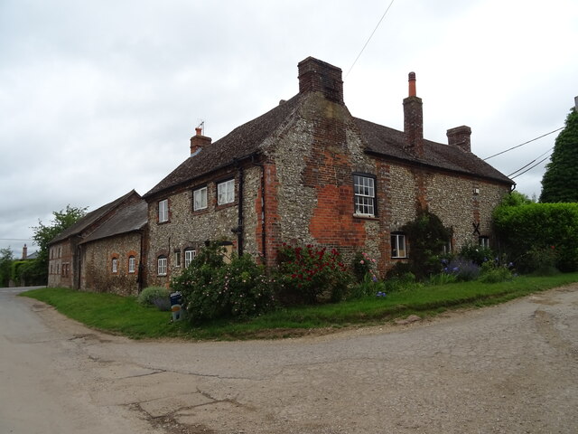
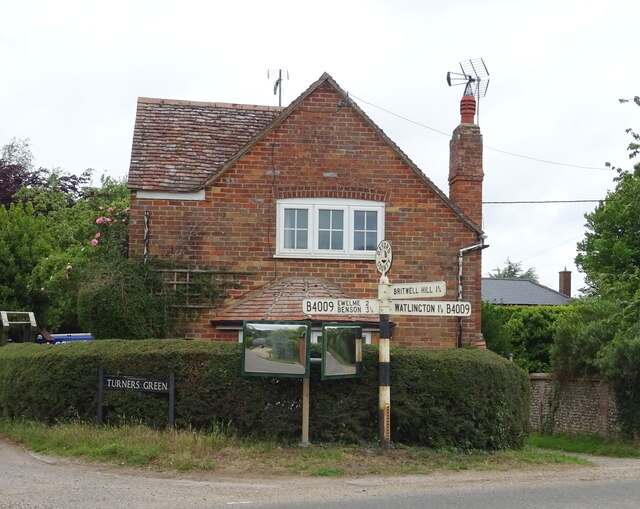
Icknieldbank Plantation Images
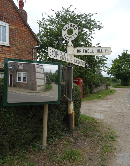
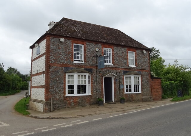
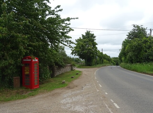
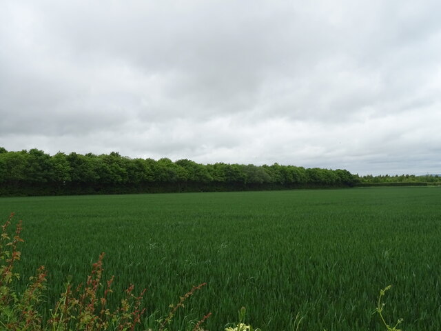
Images are sourced within 2km of 51.619162/-1.0355689 or Grid Reference SU6691. Thanks to Geograph Open Source API. All images are credited.

Icknieldbank Plantation is located at Grid Ref: SU6691 (Lat: 51.619162, Lng: -1.0355689)
Administrative County: Oxfordshire
District: South Oxfordshire
Police Authority: Thames Valley
What 3 Words
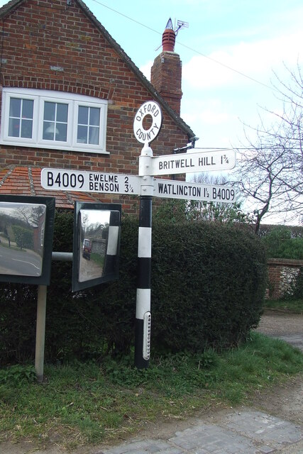
///held.monday.heckler. Near Watlington, Oxfordshire
Nearby Locations
Related Wikis

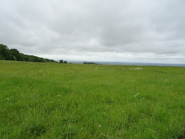
Swyncombe Downs
Swyncombe Downs is a 47.1-hectare (116-acre) biological Site of Special Scientific Interest east of Wallingford in Oxfordshire.This is an area of chalk...

Britwell Salome
Britwell Salome is a village and civil parish in South Oxfordshire, England centred 4+1⁄2 miles (7 km) northeast of Wallingford. The 2011 Census recorded...

Swyncombe
Swyncombe is a hamlet and large civil parish in the high Chilterns, within the Area of Outstanding Natural Beauty about 4+1⁄2 miles (7 km) east of Wallingford...
Ewelme
Ewelme () is a village and civil parish in the Chiltern Hills in South Oxfordshire, 2.5 miles (4 km) north-east of the market town of Wallingford. The...
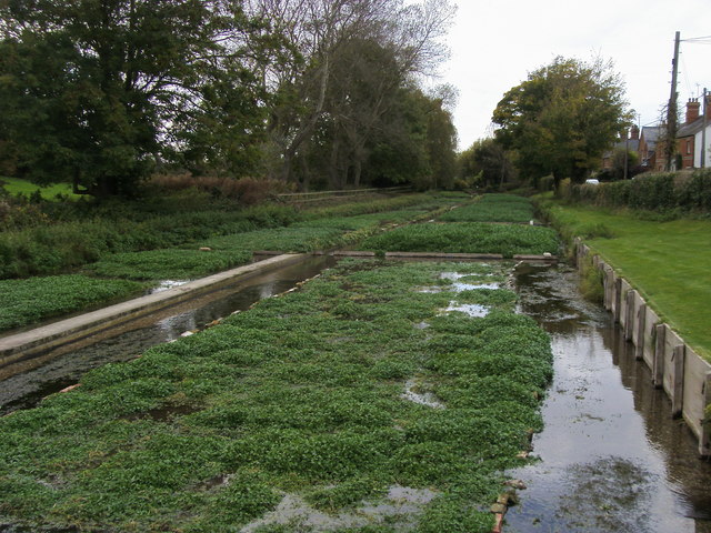
Ewelme Watercress Beds
Ewelme Watercress Beds is a 2.6-hectare (6.4-acre) Local Nature Reserve in Ewelme in Oxfordshire. It is owned and managed by the Chiltern Society.A stream...
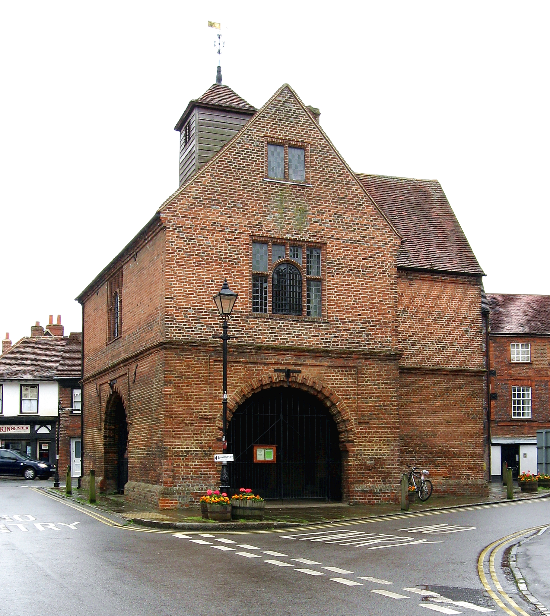
Watlington, Oxfordshire
Watlington is a small market town and civil parish about 7 miles (11 km) south of Thame in Oxfordshire, near the county's eastern edge and less than 2...

A4130 road
The A4130 is a British A road which runs from a junction with the A404 at Burchetts Green (Maidenhead), Berkshire to the A417 at Rowstock in Oxfordshire...

Henley (UK Parliament constituency)
Henley is a constituency in Oxfordshire represented in the House of Commons of the UK Parliament since 2008 by John Howell, a Member of Parliament from...
Nearby Amenities
Located within 500m of 51.619162,-1.0355689Have you been to Icknieldbank Plantation?
Leave your review of Icknieldbank Plantation below (or comments, questions and feedback).