Barnby Moor
Settlement in Nottinghamshire Bassetlaw
England
Barnby Moor
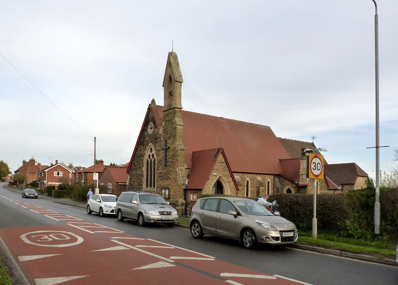
Barnby Moor is a small village located in the county of Nottinghamshire, England. Situated approximately 4 miles east of Retford, it lies close to the border with South Yorkshire. The village is situated on the A638 road, which connects Retford to nearby Blyth, and also benefits from good transportation links with the nearby A1 motorway.
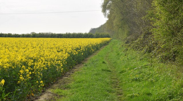
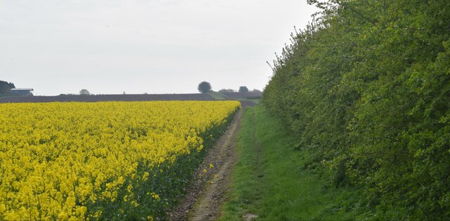
With a population of around 300 residents, Barnby Moor is a picturesque and tranquil village that offers a peaceful countryside setting. The village is characterized by its charming cottages, open fields, and well-maintained gardens. The surrounding landscape is predominantly agricultural, with farmland stretching out in all directions.
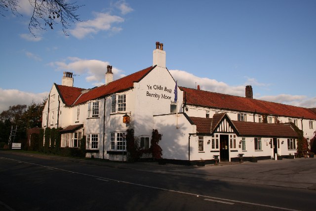
Despite its small size, the village boasts a few amenities to cater to the needs of its residents. These include a village hall, which serves as a community hub and hosts various events and activities throughout the year. There is also a local pub, The Blacksmith's Arms, where residents and visitors can enjoy a drink or a meal in a friendly atmosphere.
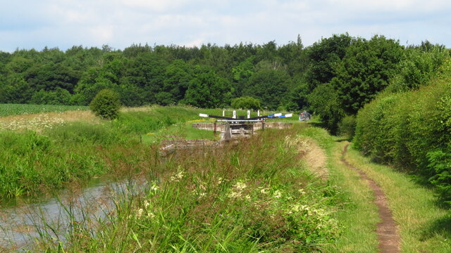
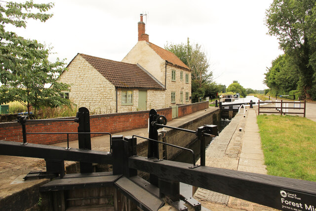
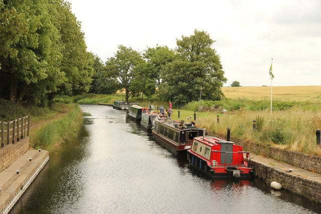
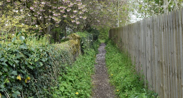
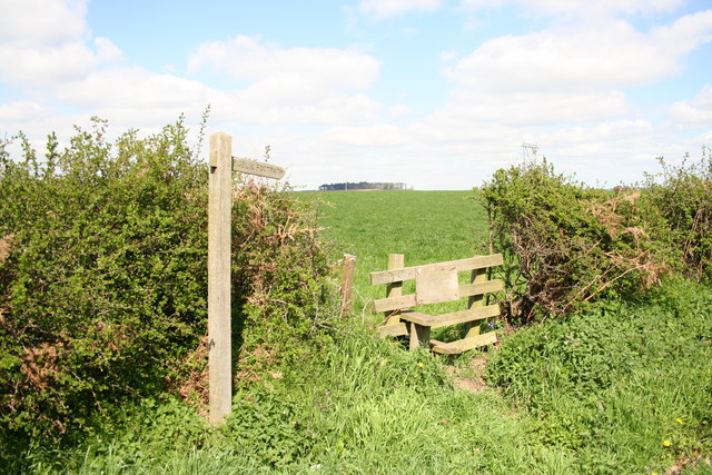
For those seeking outdoor activities, Barnby Moor is surrounded by beautiful countryside, offering opportunities for walking, cycling, and exploring the natural environment. The nearby River Idle provides an idyllic spot for fishing enthusiasts.
Overall, Barnby Moor is a charming village that offers a peaceful and picturesque retreat for those looking to enjoy the tranquility of the Nottinghamshire countryside.
If you have any feedback on the listing, please let us know in the comments section below.
Barnby Moor Images
Images are sourced within 2km of 53.352463/-1.005664 or Grid Reference SK6684. Thanks to Geograph Open Source API. All images are credited.


Barnby Moor is located at Grid Ref: SK6684 (Lat: 53.352463, Lng: -1.005664)
Administrative County: Nottinghamshire
District: Bassetlaw
Police Authority: Nottinghamshire
What 3 Words
///film.clown.profited. Near Ranskill, Nottinghamshire
Nearby Locations
Related Wikis

Barnby Moor
Barnby Moor is a village and civil parish in the Bassetlaw district of Nottinghamshire, England, with a population of 257 (2001 census), increasing to...
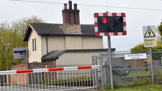
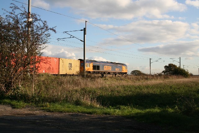
Barnby Moor and Sutton railway station
Barnby Moor and Sutton railway station served the village of Barnby Moor and Sutton cum Lound, Nottinghamshire, England from 1850 to 1949 on the East Coast...
Sutton cum Lound
Sutton Cum Lound is a village located in Bassetlaw, north Nottinghamshire. It is located 3 miles from Retford. The civil parish is called Sutton. According...

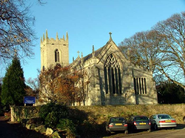
St Bartholomew's Church, Sutton-cum-Lound
St Bartholomew's Church, Sutton cum Lound is a Grade I listed parish church in the Church of England in Sutton cum Lound. == History == The church dates...
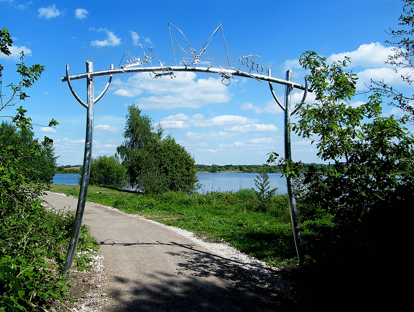
Idle Valley Nature Reserve
The Idle Valley Nature Reserve, also known as Lound Gravel Pits or Sutton and Lound Gravel Pits, is a wetland Site of Special Scientific Interest (SSSI...
Torworth
Torworth () is a small village on the A638 or 'Great North Road' in North Nottinghamshire. According to the 2001 census it had a population of 264, falling...
Ranskill
Ranskill is a village and civil parish in the Bassetlaw district of Nottinghamshire, England, with its nearest town being Retford approximately 5 miles...
ROF Ranskill
The Royal Ordnance Factory (ROF) Ranskill was a United Kingdom Ministry of Supply, World War II, Explosive ROF. It was built to manufacture cordite and...
Nearby Amenities
Located within 500m of 53.352463,-1.005664Have you been to Barnby Moor?
Leave your review of Barnby Moor below (or comments, questions and feedback).