Barnby in the Willows

Settlement in Nottinghamshire Newark and Sherwood

England

Barnby in the Willows
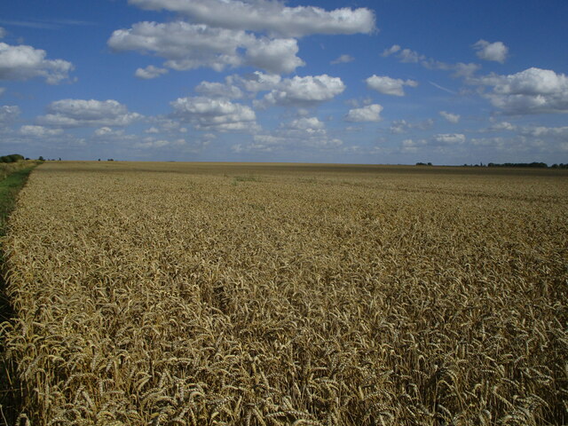
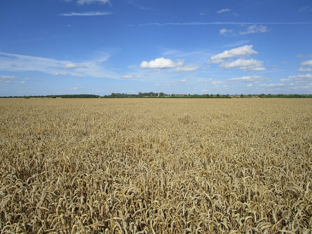
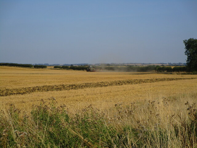
Endless wheat This vast field was once nine fields.
Endless wheat Credit: Jonathan Thacker

Barnby in the Willows is a charming village located in the county of Nottinghamshire, England. Situated approximately 7 miles south of the city of Newark-on-Trent, this rural community has a population of around 300 residents. The village is nestled along the banks of the River Trent, offering picturesque views and a tranquil atmosphere.

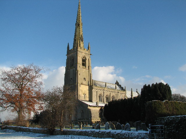
The origins of Barnby in the Willows can be traced back to the medieval period, with historical records dating back to the 12th century. The village has managed to retain much of its traditional charm, with several well-preserved buildings reflecting its rich heritage. These include the Grade II listed St. Mary's Church, a beautiful 13th-century structure that is a focal point of the village.

Despite its small size, Barnby in the Willows boasts a strong sense of community. The village has a friendly and welcoming atmosphere, with various community events and activities organized throughout the year. Residents can enjoy socializing at the local pub, which serves as a popular gathering spot.

The surrounding countryside offers ample opportunities for outdoor pursuits, with scenic walking and cycling routes available nearby. The nearby Newark Castle and historic market town of Newark-on-Trent provide additional attractions and amenities for residents and visitors alike.

Overall, Barnby in the Willows is an idyllic countryside village that offers a peaceful and picturesque setting, making it an attractive place to live or visit for those seeking a rural escape from the nearby urban areas.

If you have any feedback on the listing, please let us know in the comments section below.

Barnby in the Willows Images

Images are sourced within 2km of 53.062818/-0.721733 or Grid Reference SK8552. Thanks to Geograph Open Source API. All images are credited.

Endless wheat This vast field was once nine fields.
Endless wheat
This vast field was once nine fields.
Wheat field Manor Farm in the distance.
Wheat field
Manor Farm in the distance.
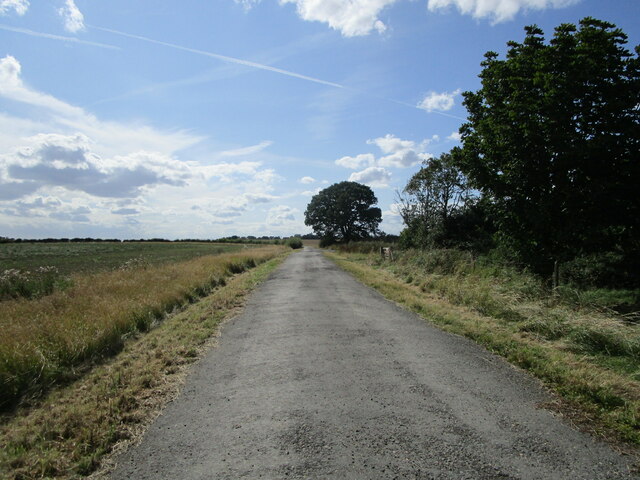
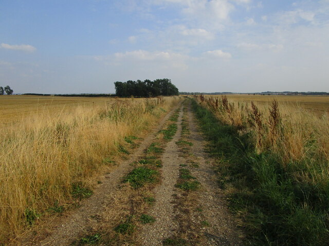
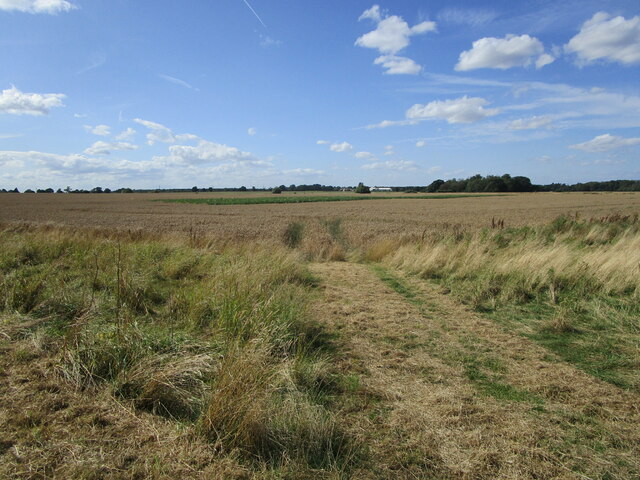
Farm track near Skerries Plantation
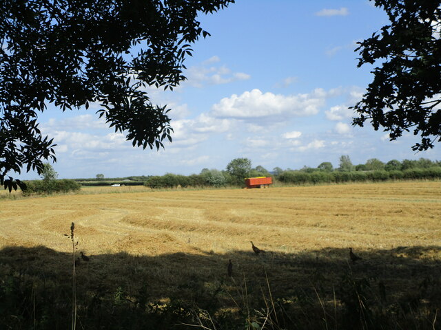
Harvested field near Skerries Plantation The straw waiting to be baled.
Harvested field near Skerries Plantation
The straw waiting to be baled.
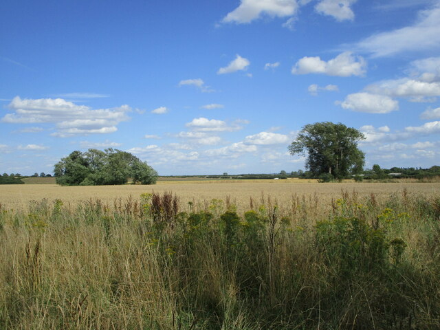
Wheat field near Skerries Plantation A Nottinghamshire field on the 'wrong' side of the River Witham.
Wheat field near Skerries Plantation
A Nottinghamshire field on the 'wrong' side of the River Witham.
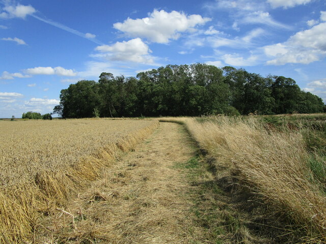
Skerries Plantation The River Witham crosses the picture but is hidden from view.
Skerries Plantation
The River Witham crosses the picture but is hidden from view.
Wheat field Beckingham in the distance.
Wheat field
Beckingham in the distance.
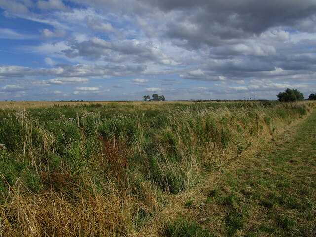
Hidden river The vegetation in the foreground hides the River Witham.
Hidden river
The vegetation in the foreground hides the River Witham.
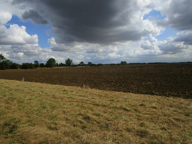
The end of summer The fields (of wheat) have been harvested. Within a few days this land will have been prepared for next year's crop.
The end of summer
The fields (of wheat) have been harvested. Within a few days this land will have been prepared for next year's crop.
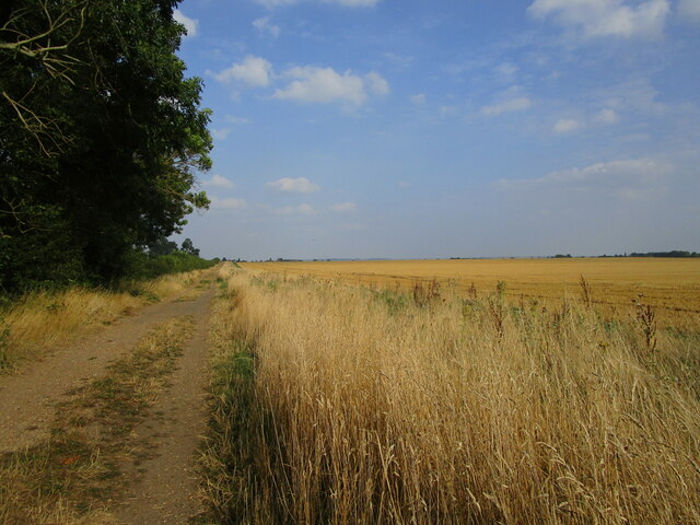
The end of summer The field on the right has been harvested and will soon be prepared for next year's crop.
The end of summer
The field on the right has been harvested and will soon be prepared for next year's crop.
Disc harrowing a harvested field One circuit of this field is about 2 miles.
Disc harrowing a harvested field
One circuit of this field is about 2 miles.
Ready for next year's crop This field has lain fallow this year.
Ready for next year's crop
This field has lain fallow this year.
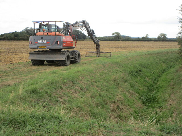
Taking a break Cleaning out Sutton Dyke.
Taking a break
Cleaning out Sutton Dyke.
Hunting hares with Golden Eagles, Barnby Manor Estate
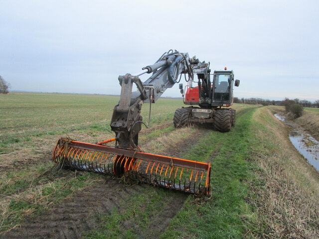
Day's work done This machine has been used to clear drains of vegetation.
Day's work done
This machine has been used to clear drains of vegetation.
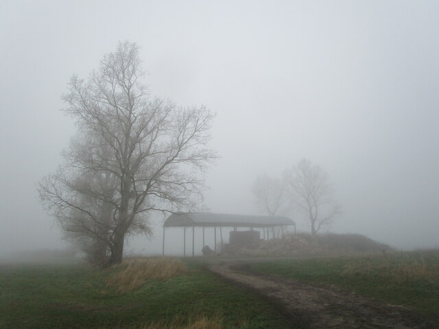
Middle Buildings in freezing fog I suppose this really ought to be Middle Building as the other buildings have long since been demolished.
Middle Buildings in freezing fog
I suppose this really ought to be Middle Building as the other buildings have long since been demolished.
The Spinney in freezing fog
Trees by the River Witham in freezing fog
Show me another place!

Barnby in the Willows is located at Grid Ref: SK8552 (Lat: 53.062818, Lng: -0.721733)

Administrative County: Nottinghamshire

District: Newark and Sherwood

Police Authority: Nottinghamshire

What 3 Words

///taker.skidding.tycoons. Near Claypole, Lincolnshire

Nearby Locations

Barnby in the Willows

Have you been to Barnby in the Willows?

Leave your review of Barnby in the Willows below (or comments, questions and feedback).
Nearby Amenities

Located within 500m of 53.062818,-0.721733
Barnby in the Willows
Place: village
Source: NPE
Wikidata: Q2743765
Lat/Long: 53.0622893/-0.7181024
Barrier: stile
Bicycle: no
Foot: designated
Horse: no
Motor Vehicle: no
Lat/Long: 53.0641563/-0.7216712
Barrier: stile
Bicycle: no
Foot: designated
Horse: no
Motor Vehicle: no
Lat/Long: 53.0657693/-0.7269914
Front Street
Naptan AtcoCode: 3300NS0803
Naptan Bearing: W
Naptan BusStopType: CUS
Naptan CommonName: Front Street
Naptan Crossing: Long Lane
Naptan Indicator: W-bound
Naptan NaptanCode: ntsgmjtj
Naptan Notes: CUS--3300NS0662
Naptan Street: Front Street
Naptan Verified: no
Source: naptan_import
Lat/Long: 53.0629289/-0.7221869
Barrier: kissing_gate
Lat/Long: 53.0594887/-0.726619
Barrier: stile
Steps: 1
Stile: stepover
Lat/Long: 53.0600651/-0.722974
Barrier: kissing_gate
Lat/Long: 53.0600524/-0.7204968
Barrier: kissing_gate
Lat/Long: 53.059398/-0.71771
Barrier: kissing_gate
Lat/Long: 53.0598174/-0.7192791
The Plots Farm
Place: farm
Source: Bing
Lat/Long: 53.063916/-0.7267371
The Bungalow
Place: isolated_dwelling
Lat/Long: 53.0634043/-0.7274391
Barrier: squeeze_stile
Lat/Long: 53.0636321/-0.7215887
Barrier: squeeze_stile
Lat/Long: 53.0634701/-0.7192505
Defibrillator
Access: yes
Booth: K6
Covered: booth
Defibrillator Location: inside red phone box on corner of Back Lane, Barnby in the Willows
Disused Amenity: telephone
Emergency: defibrillator
Man Made: telephone_box
Old Phone: +44 1636 626311
Lat/Long: 53.0632469/-0.7189554
Design: single_level
Line Attachment: pin
Line Management: transition
Location Transition: yes
Material: wood
Phases Primary: 2
Phases Secondary: 1
Power: pole
Structure: solid
Transformer: distribution
Voltage Secondary: 230
Lat/Long: 53.0639805/-0.7218395
Design: single_level
Line Attachment: pin
Line Management: straight
Material: wood
Phases Primary: 2
Phases Secondary: 1
Power: pole
Structure: solid
Voltage Secondary: 230
Lat/Long: 53.064124/-0.7232919
Design: single_level
Line Attachment: pin
Line Management: straight
Material: wood
Phases Primary: 2
Phases Secondary: 1
Power: pole
Structure: solid
Voltage Secondary: 230
Lat/Long: 53.0642634/-0.7246491
Design: single_level
Line Attachment: pin
Line Management: straight
Material: wood
Phases Primary: 2
Phases Secondary: 1
Power: pole
Structure: solid
Voltage Secondary: 230
Lat/Long: 53.0644052/-0.7260372
Design: single_level
Line Attachment: pin
Line Management: straight
Material: wood
Phases Primary: 2
Phases Secondary: 1
Power: pole
Structure: solid
Voltage Secondary: 230
Lat/Long: 53.0645358/-0.7272844
Design: single_level
Line Attachment: pin
Line Management: split
Material: wood
Phases Primary: 2
Phases Secondary: 1
Power: pole
Structure: solid
Voltage Secondary: 230
Lat/Long: 53.0644375/-0.7280502
Design: single_level
Line Attachment: pin
Line Management: straight
Material: wood
Phases Primary: 2
Phases Secondary: 1
Power: pole
Structure: solid
Voltage Secondary: 230
Lat/Long: 53.06381/-0.7280911
Design: single_level
Line Attachment: pin
Line Management: transition
Location Transition: yes
Material: wood
Phases Primary: 2
Phases Secondary: 1
Power: pole
Structure: solid
Transformer: distribution
Voltage Secondary: 230
Lat/Long: 53.0632829/-0.7281287
The data included in this document is from www.openstreetmap.org. The data is made available under ODbL.