Barnetby le Wold
Civil Parish in Lincolnshire
England
Barnetby le Wold
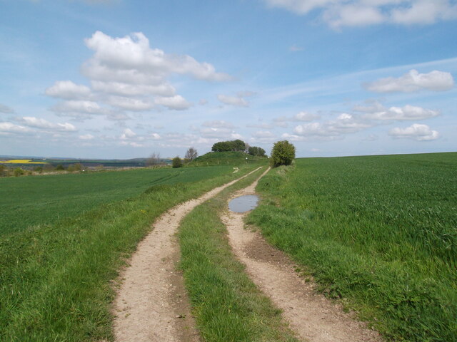
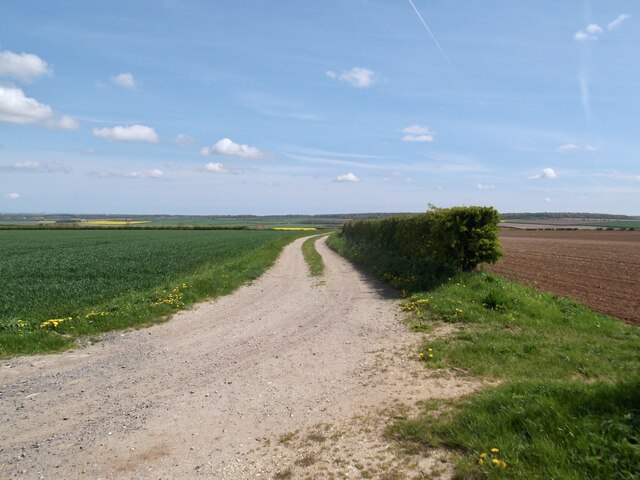
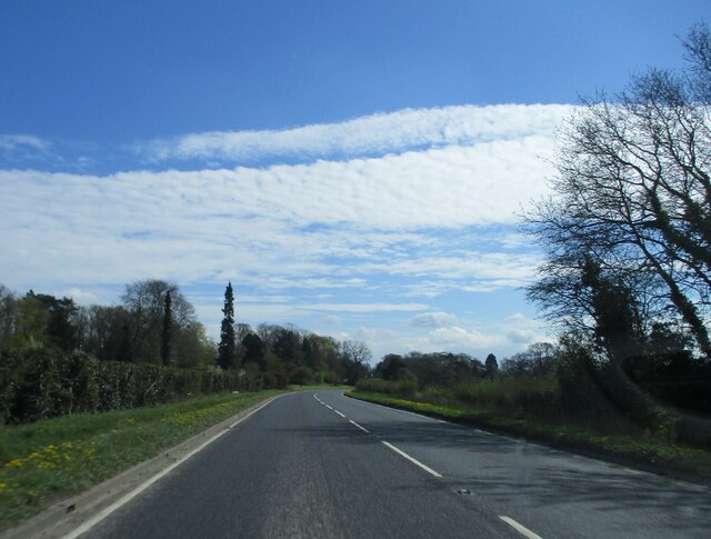
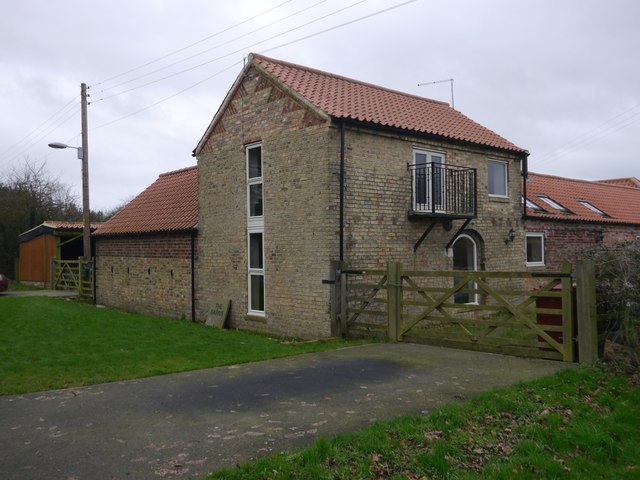
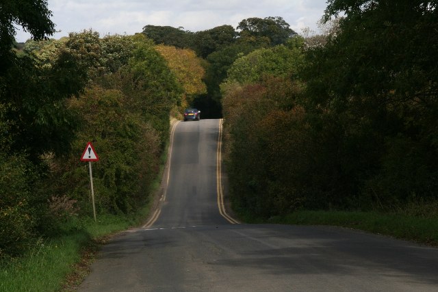
Barnetby le Wold is a civil parish situated in the North Lincolnshire district of Lincolnshire, England. It is a small village located approximately 5 miles east of Brigg and 12 miles north of Scunthorpe. The village is nestled in the picturesque countryside, surrounded by beautiful farmland and rolling hills.
Barnetby le Wold is known for its rich history, dating back to Roman times when it was a settlement along the ancient Roman road, Ermine Street. The village's name originates from the Old Norse language, with "Barnetby" meaning "farmstead of a man called Beornheard" and "le Wold" referring to the Wold, an elevated area of land.
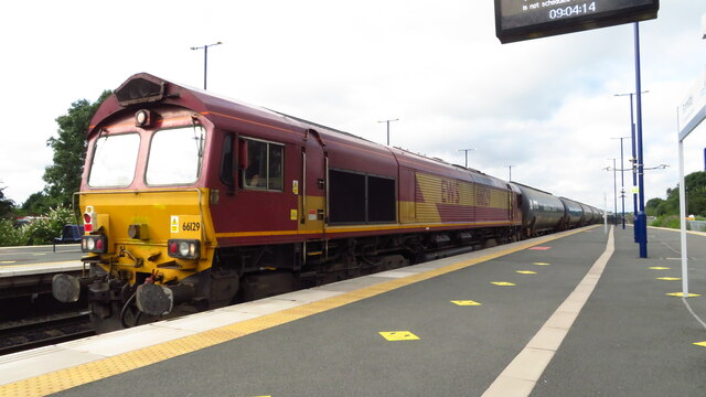
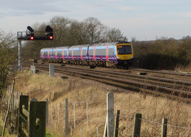
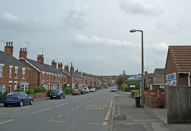
The village has a population of around 1,000 residents and offers a range of amenities to cater to their needs. It has a primary school, church, community center, and several local shops and businesses. The village is also well-connected, with a railway station that provides regular services to destinations such as Grimsby, Cleethorpes, and Doncaster.
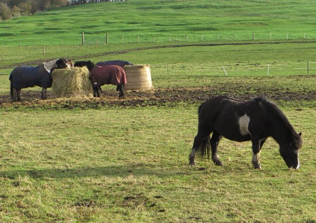
Barnetby le Wold is a peaceful and tranquil place to live, with a strong sense of community spirit. The surrounding countryside offers opportunities for outdoor activities such as walking, cycling, and horse riding. The village also hosts various events and festivals throughout the year, bringing residents together to celebrate and enjoy local traditions.
Overall, Barnetby le Wold is a charming and historic village that offers a high quality of life for its residents, with its idyllic countryside setting and close-knit community.
If you have any feedback on the listing, please let us know in the comments section below.
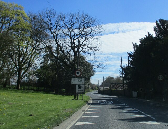
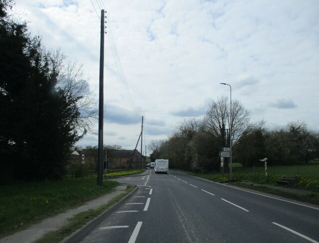
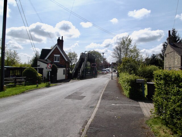
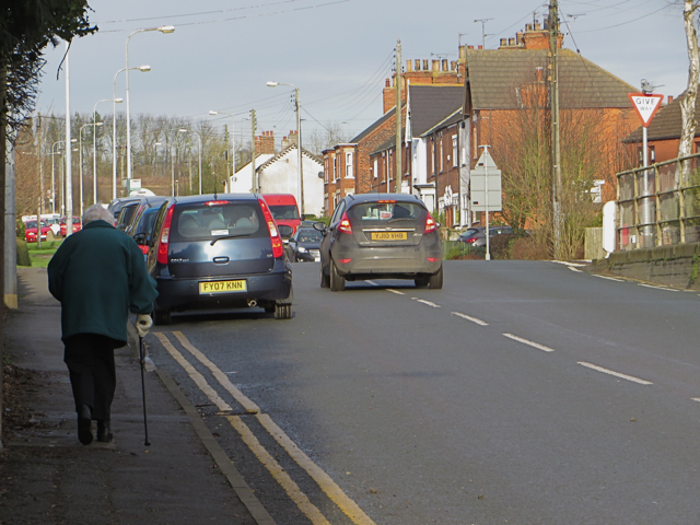
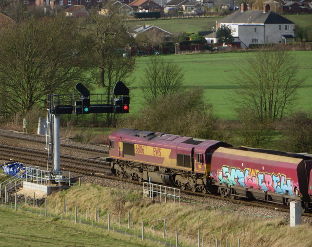
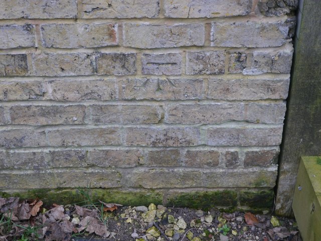
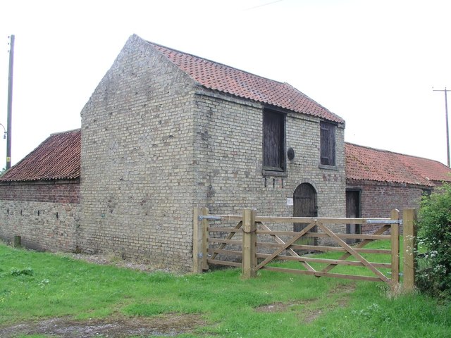
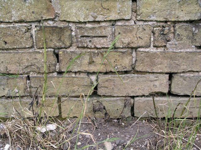
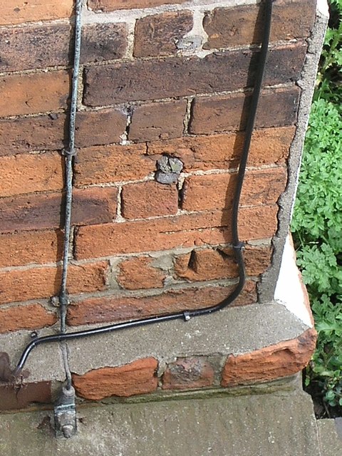
Barnetby le Wold Images
Images are sourced within 2km of 53.568004/-0.387206 or Grid Reference TA0609. Thanks to Geograph Open Source API. All images are credited.

Barnetby le Wold is located at Grid Ref: TA0609 (Lat: 53.568004, Lng: -0.387206)
Unitary Authority: North Lincolnshire
Police Authority: Humberside
What 3 Words
///describe.dispensed.dripped. Near Barnetby le Wold, Lincolnshire
Nearby Locations
Related Wikis

St Mary's Church, Barnetby
St Mary's Church is a redundant Anglican church in the village of Barnetby, Lincolnshire, England. It is recorded in the National Heritage List for England...
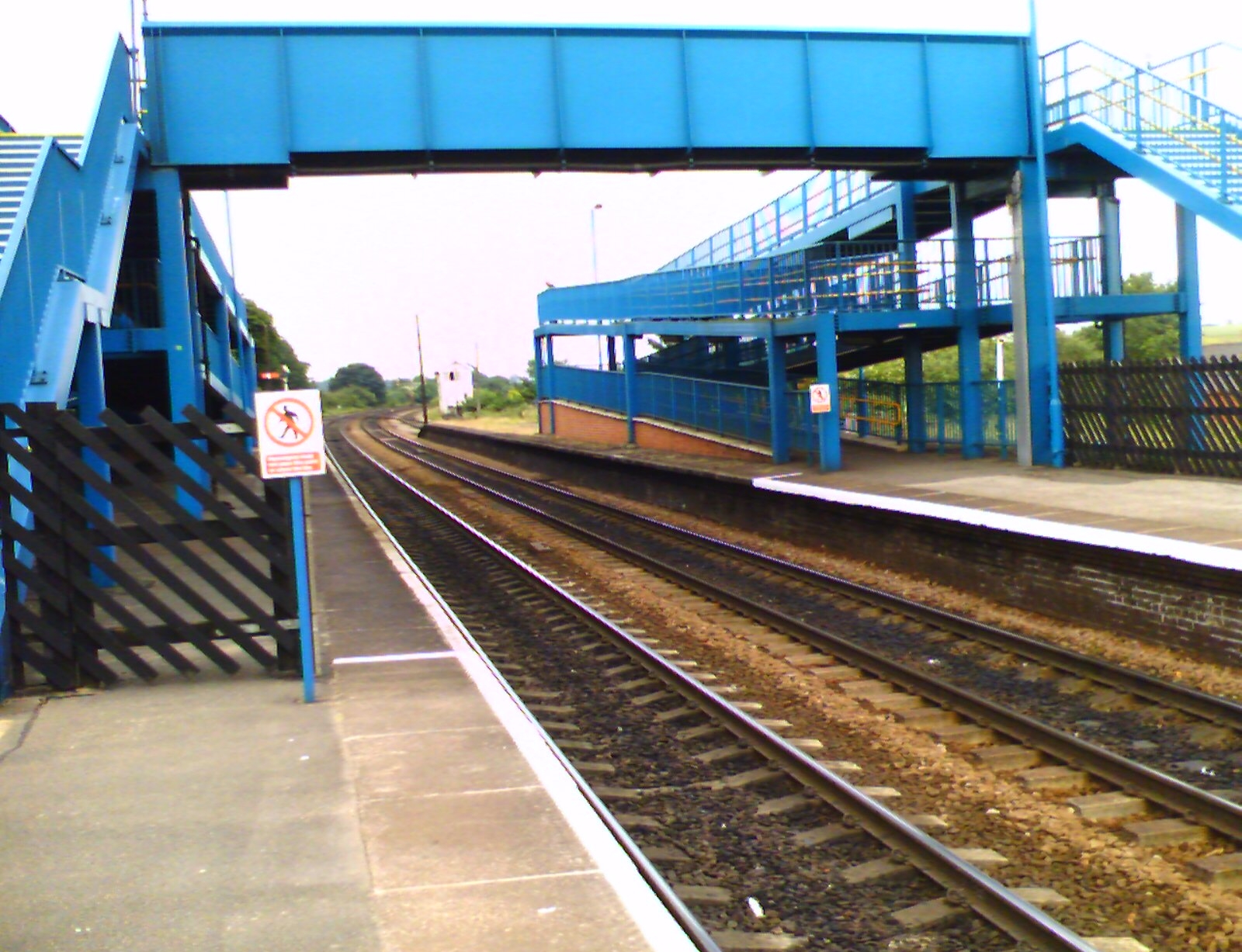
Barnetby railway station
Barnetby railway station serves the village of Barnetby-le-Wold in North Lincolnshire, England. It is operated by TransPennine Express, with East Midlands...
Barnetby le Wold
Barnetby le Wold is a village and civil parish in North Lincolnshire, Lincolnshire, England, located between Brigg and Immingham. The village is also near...

Bigby, Lincolnshire
Bigby is a village and civil parish in the West Lindsey district of Lincolnshire, England. The village is situated about 10 miles (20 km) south from the...

Wrawby Junction rail crash
The Wrawby Junction rail crash was a train crash which occurred on 9 December 1983, at Wrawby Junction, near Barnetby station, North Lincolnshire, England...
1898 Wrawby Junction rail crash
On 17 October 1898 at Wrawby Junction, on what was the Great Central Railway near Brigg in Lincolnshire, England, a passenger train collided with a derailed...

Wrawby Junction
Wrawby Junction is a busy railway junction located a short distance west of Barnetby, North Lincolnshire, England and controls the confluence of the Network...

Humberside Airport
Humberside Airport (IATA: HUY, ICAO: EGNJ) is an international airport at Kirmington in the Borough of North Lincolnshire, England, 10 NM (19 km; 12 mi...
Nearby Amenities
Located within 500m of 53.568004,-0.387206Have you been to Barnetby le Wold?
Leave your review of Barnetby le Wold below (or comments, questions and feedback).