Barnham
Civil Parish in Sussex Arun
England
Barnham
Barnham is a civil parish located in the county of Sussex, England. It is situated approximately 50 miles south of London and lies between the towns of Chichester and Arundel. The parish covers an area of around 7 square miles and is home to a population of approximately 5,000 residents.
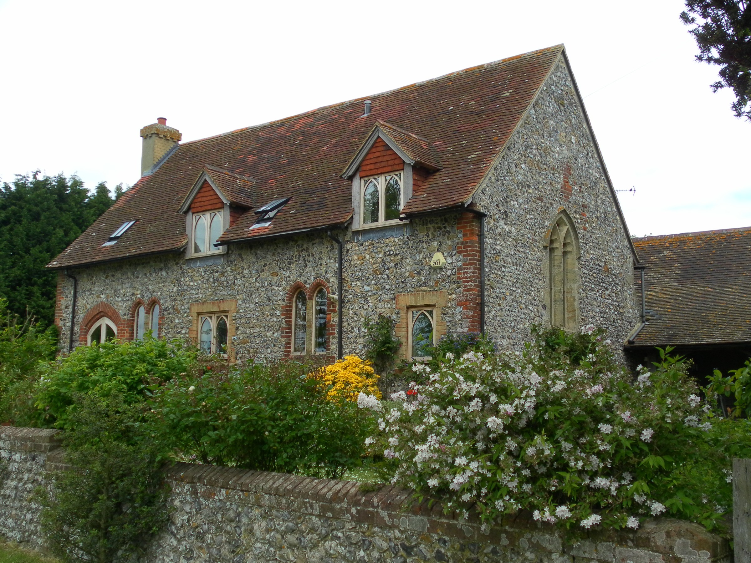
The village of Barnham itself is a small and charming settlement with a rich history. It is believed to have been inhabited since Roman times, and evidence of this can still be seen in the form of ancient Roman pottery found in the area. The village grew significantly during the Victorian era, with the arrival of the railway in 1846, which connected it to other major towns and cities in the region.
Barnham is predominantly a residential area, with a mix of housing estates and traditional cottages. The village has a range of amenities to cater to the needs of its residents, including shops, pubs, and a primary school. It also benefits from good transportation links, with regular train services to London and other nearby towns.
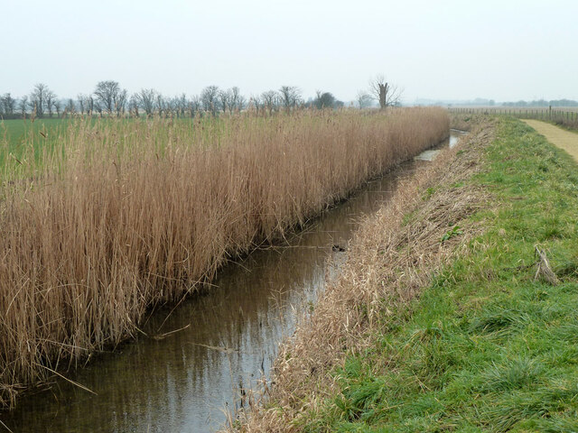
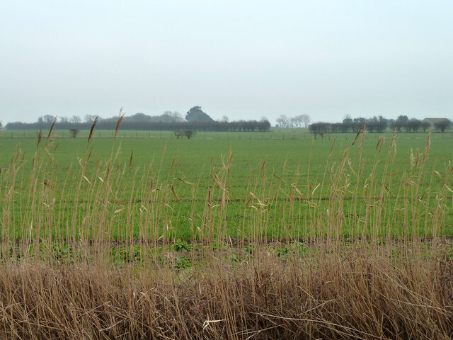
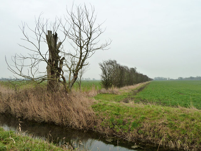
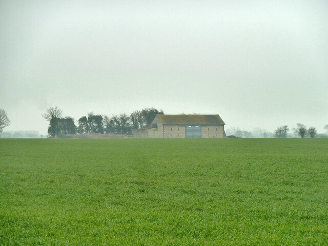
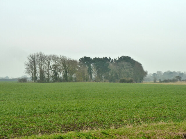
The surrounding countryside offers beautiful landscapes and is ideal for outdoor activities such as walking and cycling. There are also several nature reserves and parks in the area, providing opportunities for wildlife spotting and relaxation.
Overall, Barnham is a picturesque and peaceful civil parish, offering a blend of history, nature, and modern amenities for its residents and visitors to enjoy.
If you have any feedback on the listing, please let us know in the comments section below.
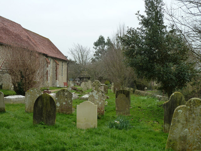
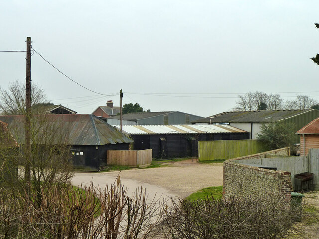
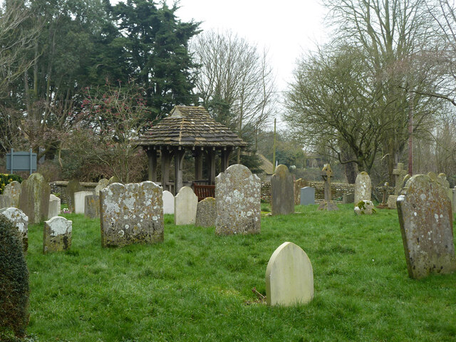
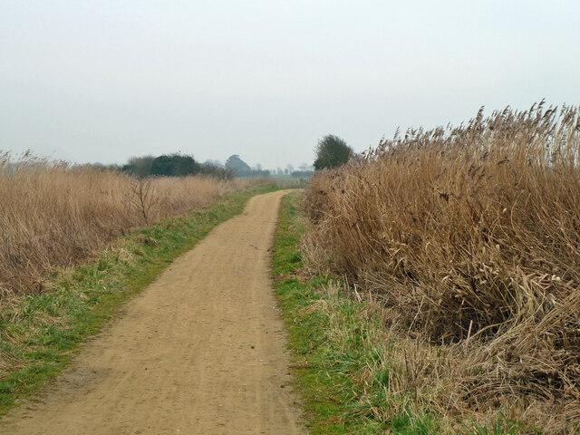
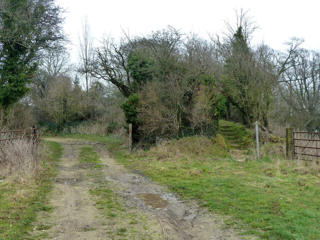
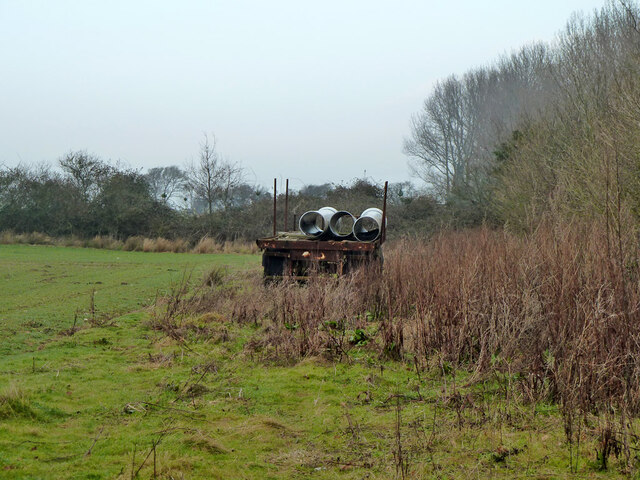
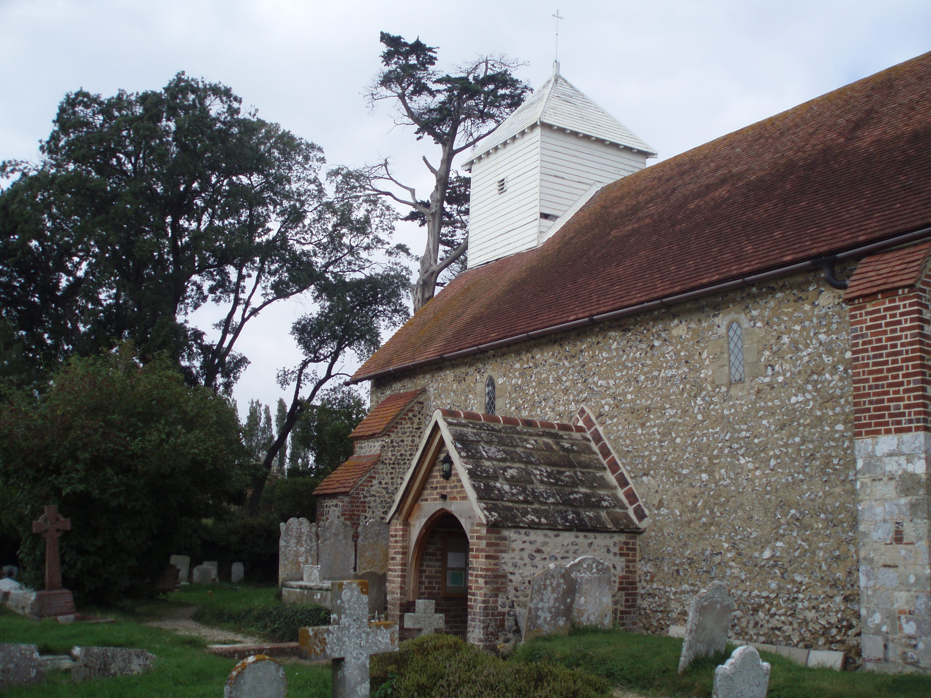
Barnham Images
Images are sourced within 2km of 50.821491/-0.641678 or Grid Reference SU9503. Thanks to Geograph Open Source API. All images are credited.
Barnham is located at Grid Ref: SU9503 (Lat: 50.821491, Lng: -0.641678)
Administrative County: West Sussex
District: Arun
Police Authority: Sussex
What 3 Words
///below.solve.snow. Near Barnham, West Sussex
Nearby Locations
Related Wikis
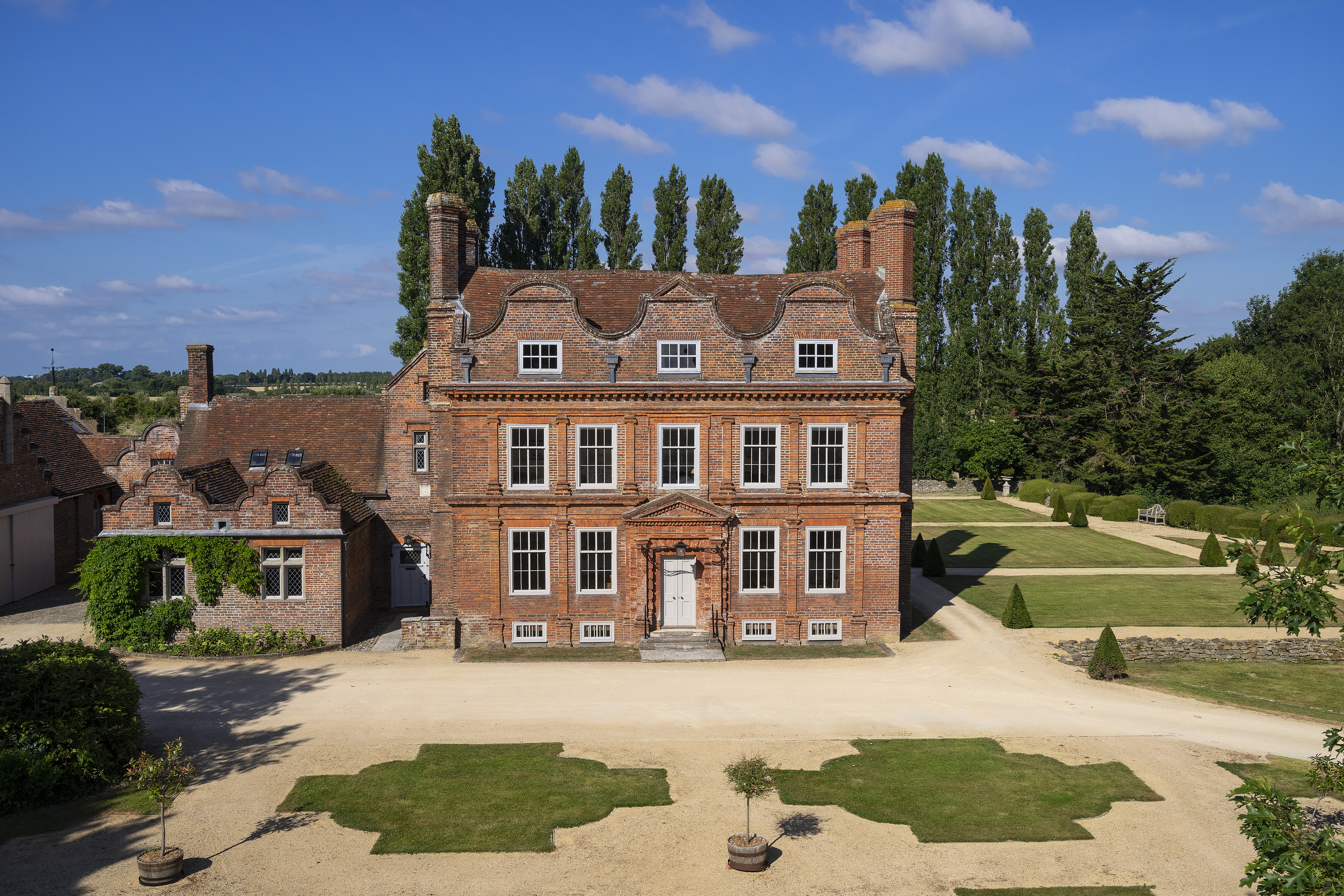
Barnham Court
Barnham Court is a 17th-century Artisan Mannerism house in Barnham, West Sussex, England. It is a Grade I listed building, and has many features similar...

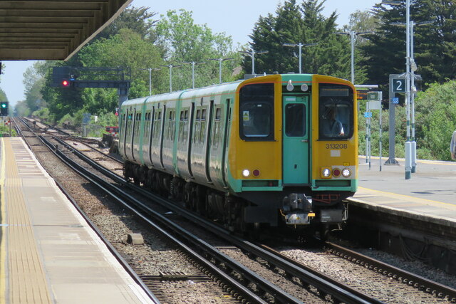
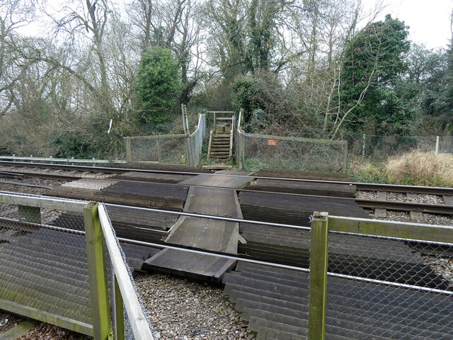
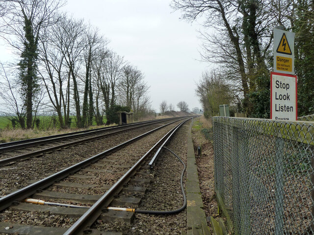
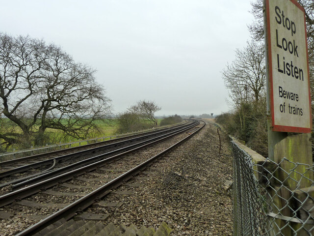
Barnham railway station
Barnham railway station is in Barnham, West Sussex, England around 5 miles (8.0 km) north of Bognor Regis. It is located on the West Coastway Line between...
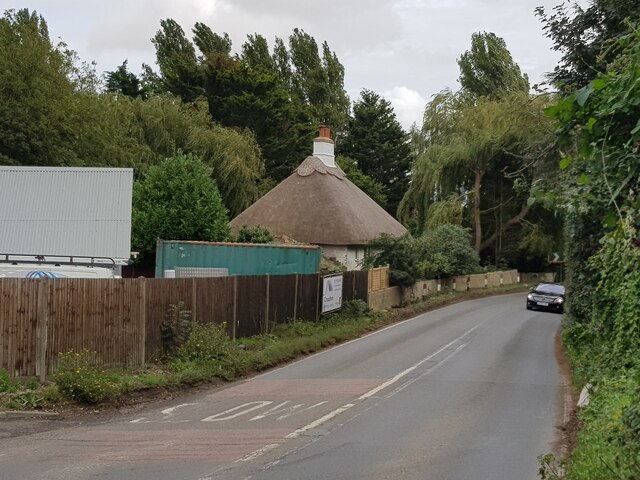
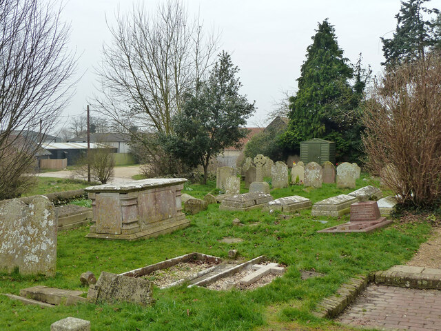
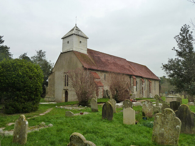
Barnham, West Sussex
Barnham is a village, Anglican parish and former civil parish, now in the civil parish of Barnham and Eastergate, in the Arun district of West Sussex,...

John Baker's Mill, Barnham
John Baker's Mill (or Barnham Windmill) is a grade II listed tower mill at Barnham, Sussex, England, which was under restoration and is now to be converted...

St Philip Howard Catholic High School
St Philip Howard Catholic School is an Ofsted rated "outstanding' secondary school for 11-18 year olds located between Chichester and Arundel, in the town...

Yapton Free Church
Yapton Free Church (also known as Yapton Evangelical Free Church) is an Evangelical church in the village of Yapton in West Sussex, England. The "pretty...
Bilsham Chapel
Bilsham Chapel is a deconsecrated former chapel in the hamlet of Bilsham in West Sussex, England. Founded in the 13th century as a chapel of ease to the...

Yapton
Yapton is a village and civil parish in the Arun District of West Sussex, England. It is centred three miles (4.8 km) north east of Bognor Regis at the...
Nearby Amenities
Located within 500m of 50.821491,-0.641678Have you been to Barnham?
Leave your review of Barnham below (or comments, questions and feedback).