Barlavington
Civil Parish in Sussex Chichester
England
Barlavington
Barlavington is a civil parish located in the county of Sussex in England. It is situated within the Chichester district and covers an area of approximately 4.4 square miles. The parish includes the hamlet of Upperton and is surrounded by the picturesque South Downs National Park.
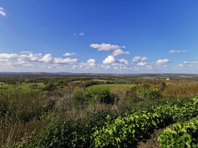
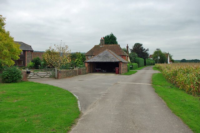
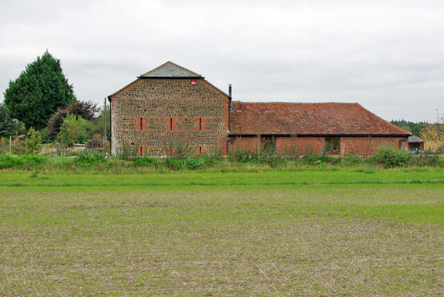
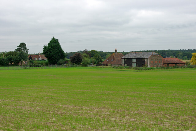
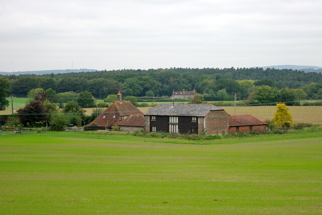
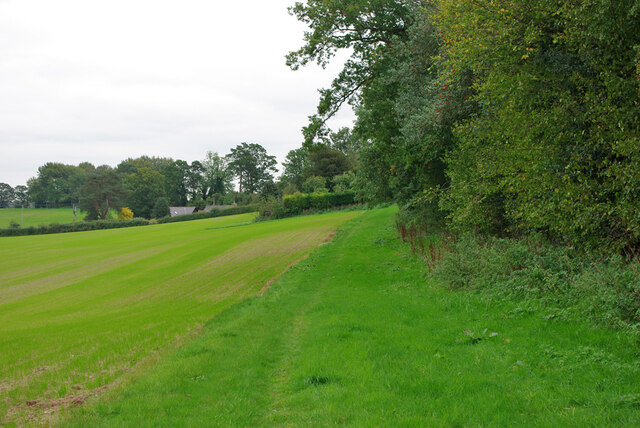
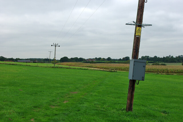
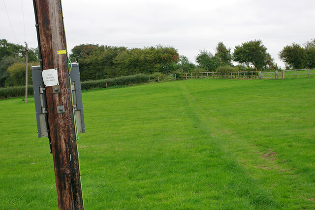
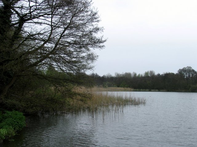
The landscape of Barlavington is characterized by rolling hills and lush vegetation, making it an ideal location for outdoor enthusiasts. The area is dotted with charming country houses and farms, adding to its rural charm. The parish is primarily agricultural, with farming being the main occupation of the local residents.
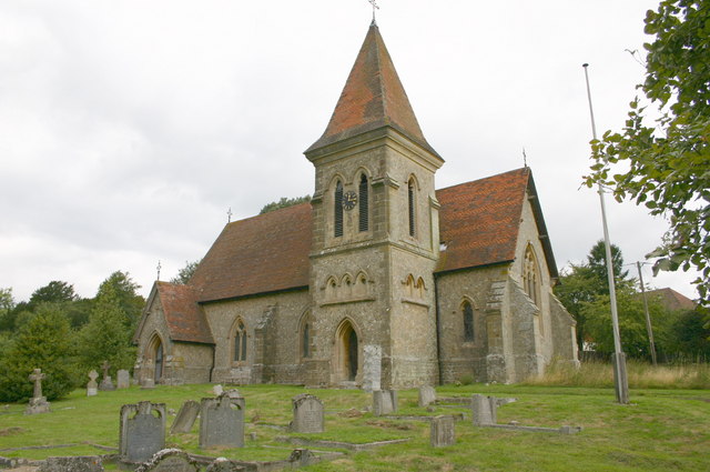
The village of Barlavington itself is small and quaint, with a population of around 200 people. It features a beautiful Norman church, St. Mary's, which dates back to the 12th century. The church is known for its impressive stained glass windows and intricate stone carvings.
Despite its small size, Barlavington has a strong sense of community and hosts various local events and activities throughout the year. The parish is well-connected to neighboring towns and cities, with good transport links and access to amenities.
Overall, Barlavington offers a peaceful and idyllic countryside setting, making it an attractive place to live for those seeking a slower pace of life and a close connection to nature.
If you have any feedback on the listing, please let us know in the comments section below.
Barlavington Images
Images are sourced within 2km of 50.942365/-0.616935 or Grid Reference SU9716. Thanks to Geograph Open Source API. All images are credited.
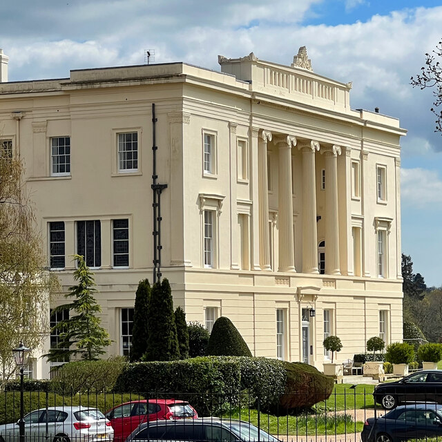
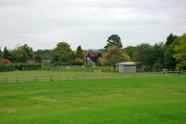
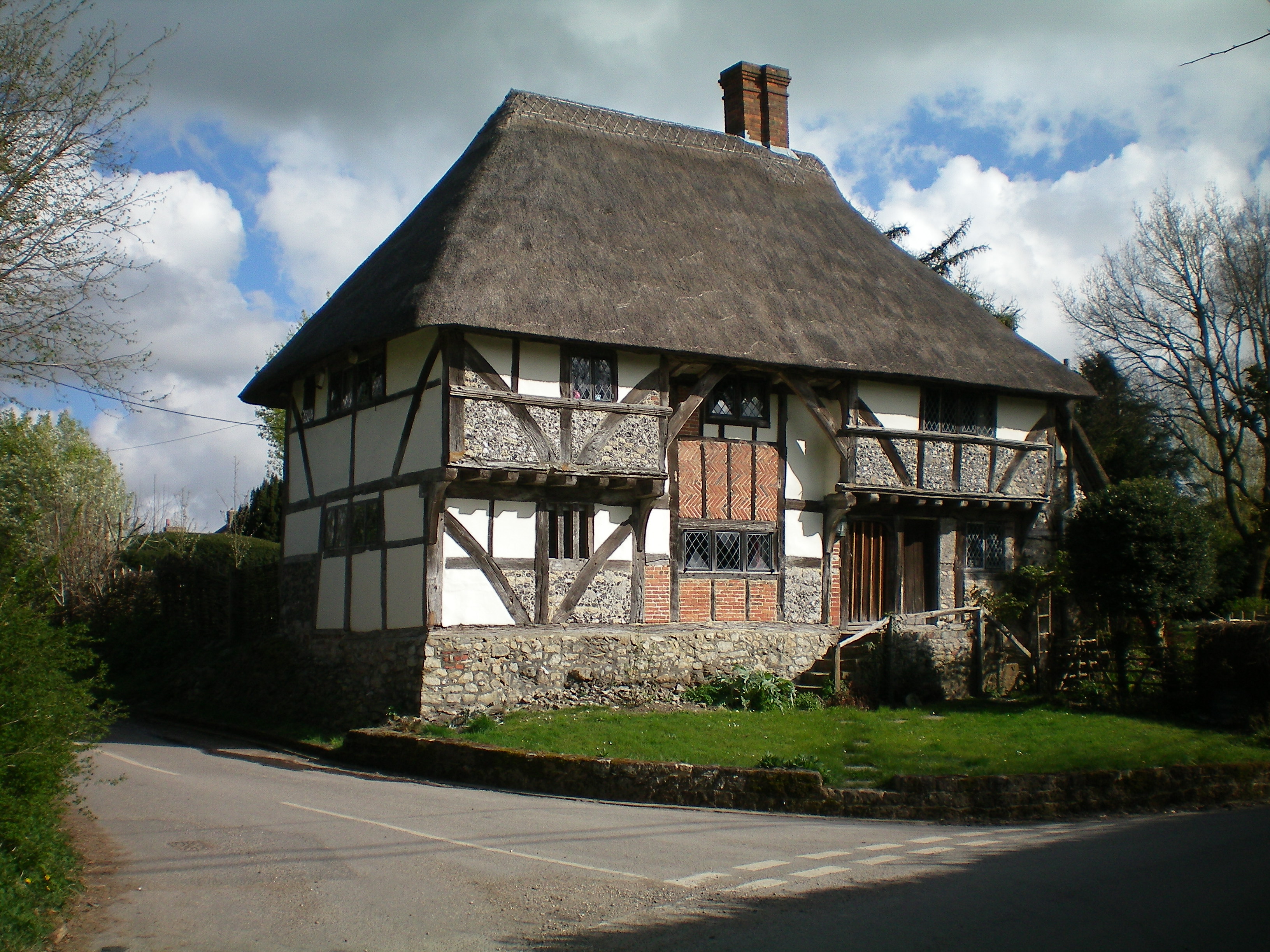
![Burton House Originally built in 1831 as a private residence for Henry Bassett, Burton Park [House] served for many years as a girl's school - St Michael's. The mansion, like many others in West Sussex, has been converted into luxury housing. Many of the grandest rooms in the building are now incorporated into spectacular apartments - and a cluster of very attractive houses have been built to the north and east of the building. [taken from WestSussex.info]](https://s2.geograph.org.uk/geophotos/07/44/58/7445870_7eb89a4c.jpg)


Barlavington is located at Grid Ref: SU9716 (Lat: 50.942365, Lng: -0.616935)
Administrative County: West Sussex
District: Chichester
Police Authority: Sussex
What 3 Words
///incurring.robe.items. Near Petworth, West Sussex
Nearby Locations
Related Wikis

Barlavington
Barlavington is a small village and civil parish in the Chichester district of West Sussex, England. The village is situated about four miles (6.4 km)...

Burton Park
Burton Park is a 19th-century country house in the civil parish of Duncton in West Sussex, and is situated 1/2 a mile to the east of the village of Duncton...
Burton Park SSSI
Burton Park SSSI is a 57.7-hectare (143-acre) biological Site of Special Scientific Interest west of Pulborough in West Sussex. A larger area of 63 hectares...
Duncton
Duncton is a village and civil parish in the District of Chichester in West Sussex, England. The village is in the South Downs 3 miles (5 km) south of...

Sutton, West Sussex
Sutton is a village and civil parish in the District of Chichester in West Sussex, England, located six kilometres (4 miles) south of Petworth and east...

Bignor Park
Bignor Park is a privately owned country house and estate near the village of Bignor, in West Sussex, England, on the edge of the South Downs. The house...

Petworth railway station
Petworth railway station was a railway station nearly two miles (3 km) from the town of Petworth in West Sussex, England. It was located on the former...
Bignor
Bignor is a village and civil parish in the Chichester district of the English county of West Sussex, about six miles (9.7 km) north of Arundel. It is...
Nearby Amenities
Located within 500m of 50.942365,-0.616935Have you been to Barlavington?
Leave your review of Barlavington below (or comments, questions and feedback).