Lodge Copse
Wood, Forest in Sussex Chichester
England
Lodge Copse
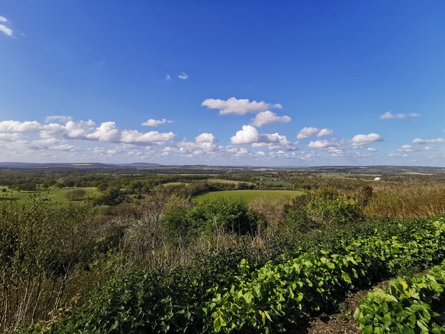
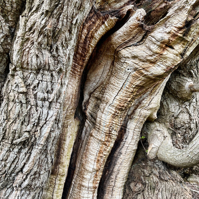
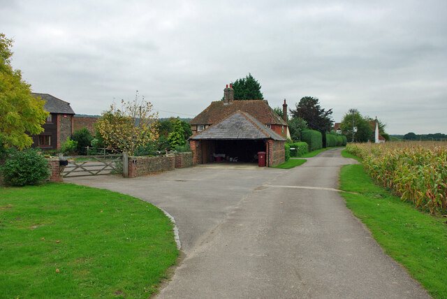
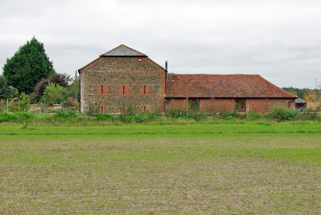
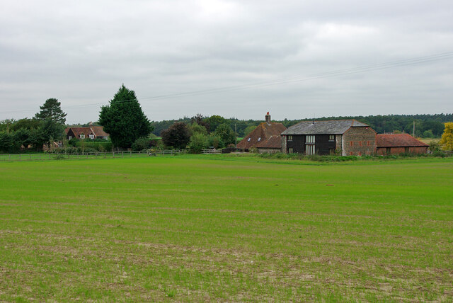
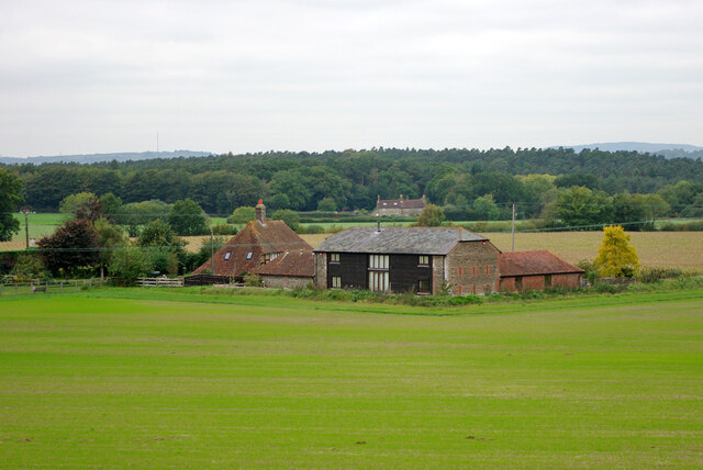
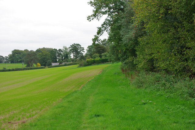
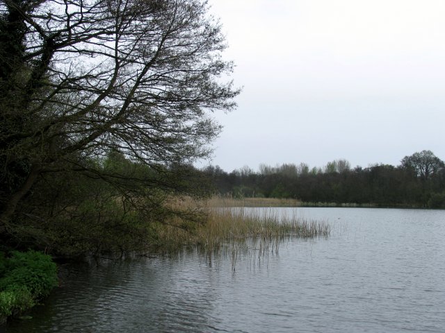
Lodge Copse, located in Sussex, England, is a picturesque wood known for its serene and natural beauty. Nestled within the South Downs National Park, this forested area covers approximately 200 acres of land. The copse is predominantly made up of native broadleaf trees, including oak, beech, and ash, which create a dense and enchanting woodland.
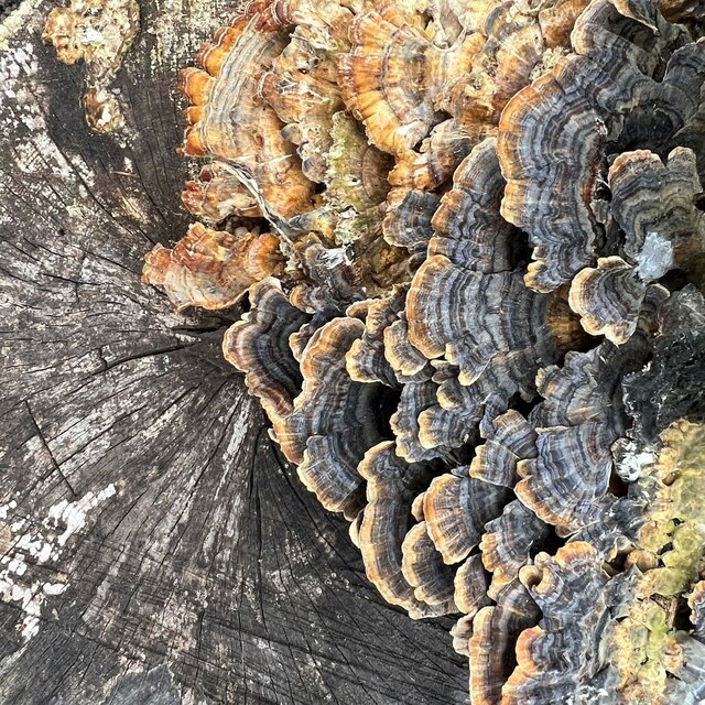
This woodland is a haven for wildlife, providing a diverse range of habitats for various species to thrive. Walking through Lodge Copse, visitors may encounter an array of animals, such as deer, foxes, badgers, and a variety of bird species. The tranquil atmosphere and rich biodiversity make it a popular destination for both nature enthusiasts and wildlife photographers.
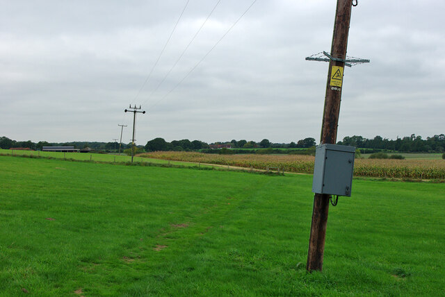
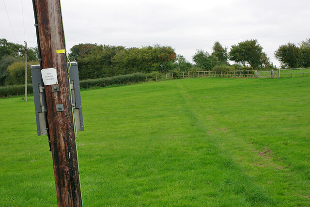
The copse is crisscrossed by a network of well-maintained footpaths, allowing visitors to explore the area at their own pace. These paths wind through the forest, offering breathtaking views of the surrounding countryside. Additionally, there are several picnic areas and benches scattered throughout, providing the perfect opportunity to relax and enjoy the natural surroundings.
Furthermore, Lodge Copse has a rich historical significance. The area was once part of a larger estate, with remnants of old stone walls and foundations still visible today. These remnants serve as a reminder of the copse's past and add a touch of intrigue to the woodland experience.
Overall, Lodge Copse offers a tranquil escape from the hustle and bustle of everyday life. With its stunning natural beauty, diverse wildlife, and fascinating history, it is a place that truly captivates the senses and provides a peaceful retreat for all who visit.
If you have any feedback on the listing, please let us know in the comments section below.
Lodge Copse Images
Images are sourced within 2km of 50.943028/-0.61665365 or Grid Reference SU9716. Thanks to Geograph Open Source API. All images are credited.
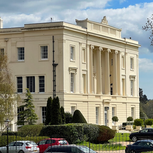
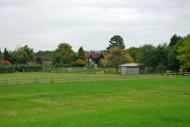
![Burton House Originally built in 1831 as a private residence for Henry Bassett, Burton Park [House] served for many years as a girl's school - St Michael's. The mansion, like many others in West Sussex, has been converted into luxury housing. Many of the grandest rooms in the building are now incorporated into spectacular apartments - and a cluster of very attractive houses have been built to the north and east of the building. [taken from WestSussex.info]](https://s2.geograph.org.uk/geophotos/07/44/58/7445870_7eb89a4c.jpg)


Lodge Copse is located at Grid Ref: SU9716 (Lat: 50.943028, Lng: -0.61665365)
Administrative County: West Sussex
District: Chichester
Police Authority: Sussex
What 3 Words
///edgy.onlookers.grew. Near Petworth, West Sussex
Nearby Locations
Related Wikis

Burton Park
Burton Park is a 19th-century country house in the civil parish of Duncton in West Sussex, and is situated 1/2 a mile to the east of the village of Duncton...

Barlavington
Barlavington is a small village and civil parish in the Chichester district of West Sussex, England. The village is situated about four miles (6.4 km)...
Burton Park SSSI
Burton Park SSSI is a 57.7-hectare (143-acre) biological Site of Special Scientific Interest west of Pulborough in West Sussex. A larger area of 63 hectares...
Duncton
Duncton is a village and civil parish in the District of Chichester in West Sussex, England. The village is in the South Downs 3 miles (5 km) south of...

Sutton, West Sussex
Sutton is a village and civil parish in the District of Chichester in West Sussex, England, located six kilometres (4 miles) south of Petworth and east...

Petworth railway station
Petworth railway station was a railway station nearly two miles (3 km) from the town of Petworth in West Sussex, England. It was located on the former...

Bignor Park
Bignor Park is a privately owned country house and estate near the village of Bignor, in West Sussex, England, on the edge of the South Downs. The house...
Bignor
Bignor is a village and civil parish in the Chichester district of the English county of West Sussex, about six miles (9.7 km) north of Arundel. It is...
Nearby Amenities
Located within 500m of 50.943028,-0.61665365Have you been to Lodge Copse?
Leave your review of Lodge Copse below (or comments, questions and feedback).