Barlavington

Settlement in Sussex Chichester

England

Barlavington

Dog Kennel Cottages
Dog Kennel Cottages Credit: Ian Cunliffe

Barlavington is a charming village nestled in the heart of West Sussex, England. Located just a few miles south-east of the historic market town of Petworth, this rural settlement offers a tranquil and picturesque setting for its residents and visitors alike.

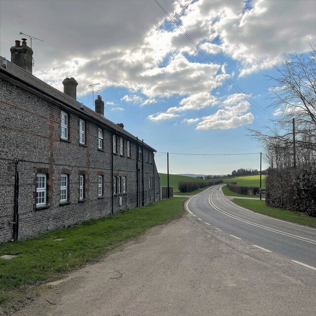
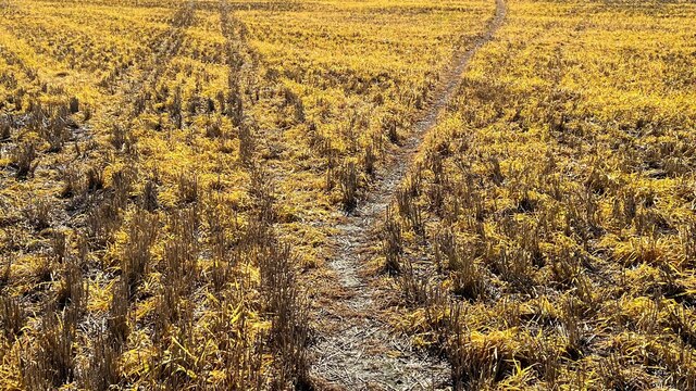
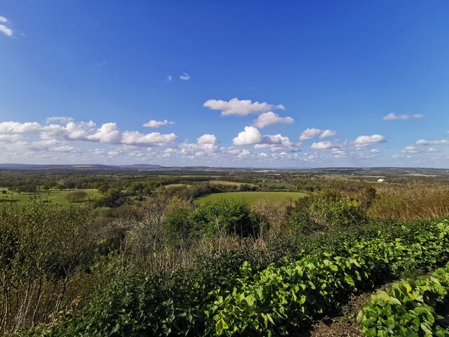
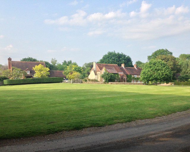
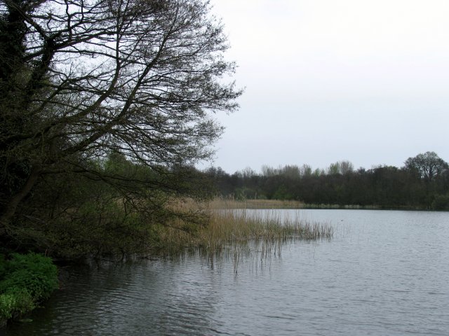
Surrounded by rolling countryside and idyllic farmland, Barlavington boasts a quintessentially English landscape. The village is characterized by its quaint and well-preserved buildings, many of which date back centuries, lending a sense of history and charm to the area.

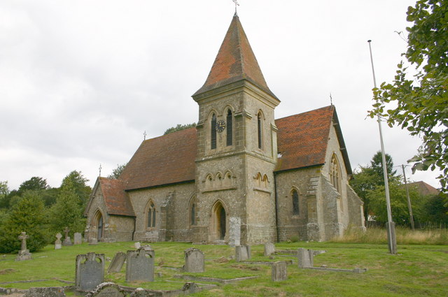
One of the notable landmarks in Barlavington is the St. Mary's Church, a beautiful medieval structure that stands as a testament to the village's rich heritage. The church is known for its stunning stained glass windows and serene atmosphere, making it a popular destination for both worshippers and history enthusiasts.

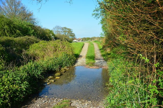
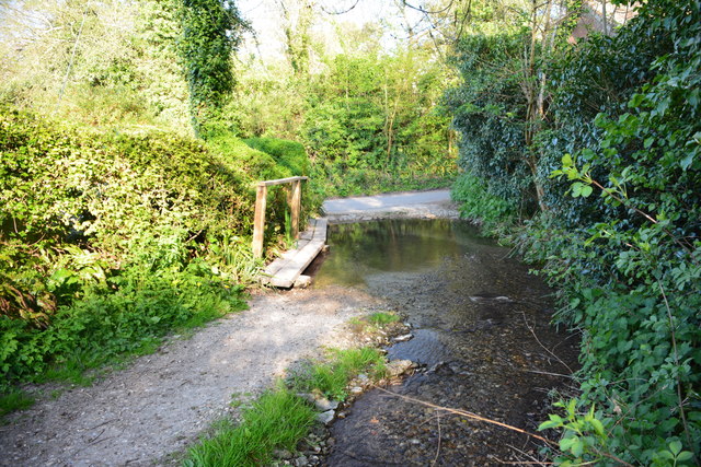
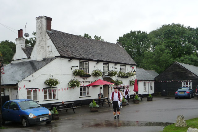
Despite its small size, Barlavington offers a range of amenities for its residents. The village is home to a local pub, The Barlavington Arms, which serves traditional British dishes and provides a welcoming atmosphere for locals and visitors to enjoy. Additionally, there are several footpaths and bridleways that crisscross the surrounding countryside, making Barlavington an ideal location for outdoor enthusiasts and hikers.

While Barlavington may be a peaceful retreat, it benefits from its proximity to larger towns and cities. Petworth, with its vibrant high street and renowned Petworth House and Park, is just a short drive away, providing residents with easy access to a wider range of amenities and activities.

Overall, Barlavington offers a tranquil and picturesque escape from the hustle and bustle of city life, with its rich history, stunning countryside, and close-knit community making it a truly special place to live or visit.

If you have any feedback on the listing, please let us know in the comments section below.
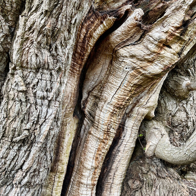
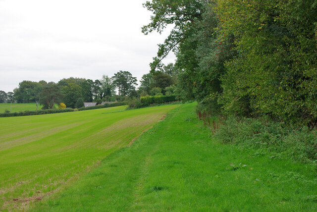
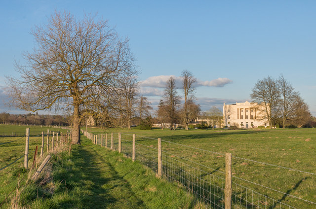
Barlavington Images

Images are sourced within 2km of 50.936074/-0.618844 or Grid Reference SU9716. Thanks to Geograph Open Source API. All images are credited.
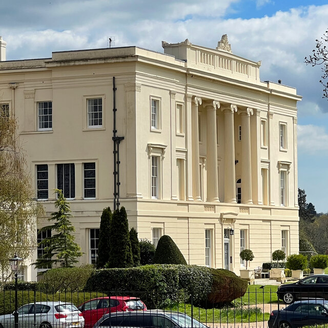
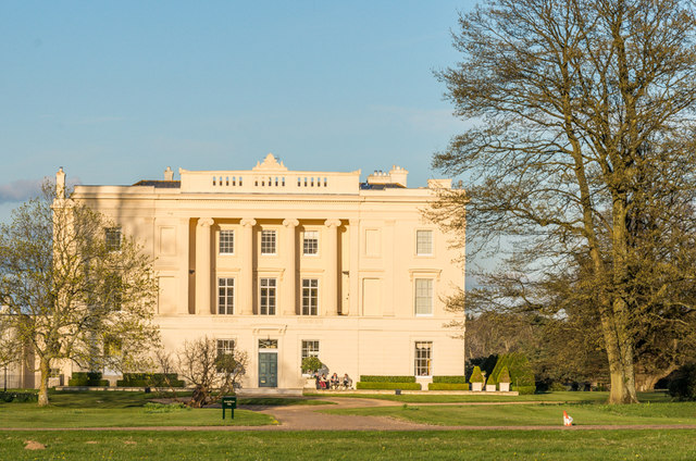
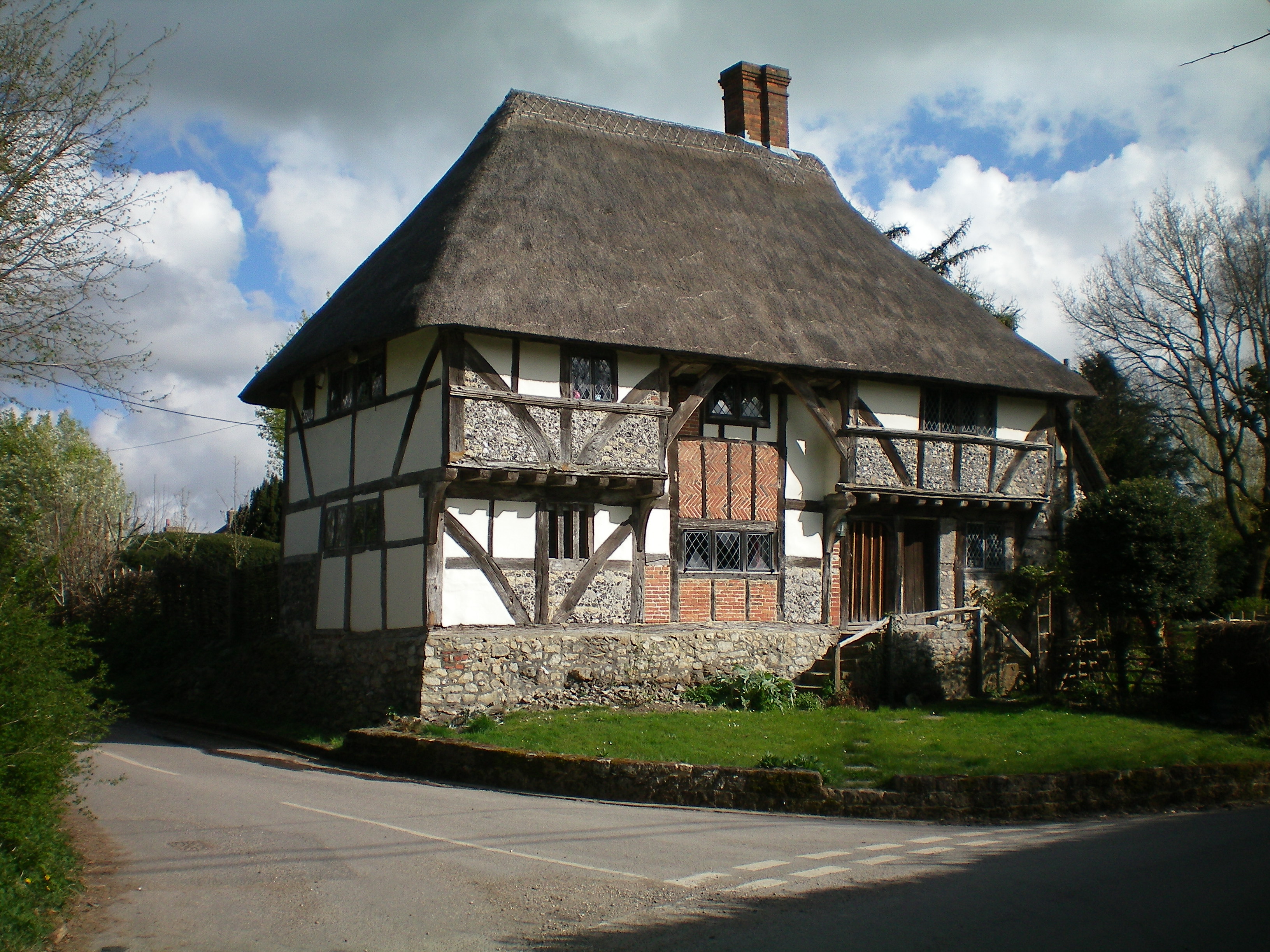
Dog Kennel Cottages
Dog Kennel Cottages
Tracks in the stubble This vivid yellow stubble is common hereabouts. I'm not sure what the crop was.
Tracks in the stubble
This vivid yellow stubble is common hereabouts. I'm not sure what the crop was.
View SW towards Bignor Hill and Glatting Beacon
View from Duncton Hill View Point
Bracket fungus on a tree stump
Burton House Originally built in 1831 as a private residence for Henry Bassett, Burton Park [House] served for many years as a girl's school - St Michael's. The mansion, like many others in West Sussex, has been converted into luxury housing. Many of the grandest rooms in the building are now incorporated into spectacular apartments - and a cluster of very attractive houses have been built to the north and east of the building. [taken from WestSussex.info]
Burton House
Originally built in 1831 as a private residence for Henry Bassett, Burton Park [House] served for many years as a girl's school - St Michael's. The mansion, like many others in West Sussex, has been converted into luxury housing. Many of the grandest rooms in the building are now incorporated into spectacular apartments - and a cluster of very attractive houses have been built to the north and east of the building. [taken from WestSussex.info]
Gnarled tree trunk There are several of these trees hereabouts, with trunks of huge girth - maybe 3-4 metres in diameter. I think they may be sweet chestnuts.
Gnarled tree trunk
There are several of these trees hereabouts, with trunks of huge girth - maybe 3-4 metres in diameter. I think they may be sweet chestnuts.
Burton House I've taken photographs of this house before - but maybe not from exactly this angle!
Burton House
I've taken photographs of this house before - but maybe not from exactly this angle!
Public footpath 718, Duncton Towards the A285 near the Roman Catholic church.
Public footpath 718, Duncton
Towards the A285 near the Roman Catholic church.
Burton Park Grade I listed mansion built in 1828 by architect Henry Bassett.  It was a private house until the Second World War, when it was requisitioned by the army.  After the war it housed a girls boarding scheme, St Michael's, until the 1980s, before becoming a police dog training centre.  In 1997 it was converted into apartments.

For listing particulars see <span class="nowrap"><a title="http://www.historicengland.org.uk/listing/the-list/list-entry/1274798" rel="nofollow ugc noopener" href="http://www.historicengland.org.uk/listing/the-list/list-entry/1274798">Link</a><img style="margin-left:2px;" alt="External link" title="External link - shift click to open in new window" src="https://s1.geograph.org.uk/img/external.png" width="10" height="10"/></span>.
Burton Park
Grade I listed mansion built in 1828 by architect Henry Bassett. It was a private house until the Second World War, when it was requisitioned by the army. After the war it housed a girls boarding scheme, St Michael's, until the 1980s, before becoming a police dog training centre. In 1997 it was converted into apartments. For listing particulars see LinkExternal link.
Burton Park Parkland in the Burton Park estate (see <a href="https://www.geograph.org.uk/photo/4693325">SU9617 : Burton Park</a>), with Duncton Down on the South Downs in the background.
Burton Park
Parkland in the Burton Park estate (see SU9617 : Burton Park), with Duncton Down on the South Downs in the background.
Burton Mill Pond A 16th century hammer pond used to power a water mill to forge iron.
Burton Mill Pond
A 16th century hammer pond used to power a water mill to forge iron.
Chingford Pond Situated within Burton Park just south west of Burton Mill Pond. It is designated a Sight Of Nature Conservation.
Chingford Pond
Situated within Burton Park just south west of Burton Mill Pond. It is designated a Sight Of Nature Conservation.
Lodge Green, Duncton Former estate buildings of Burton Park surrounding an open green.
Lodge Green, Duncton
Former estate buildings of Burton Park surrounding an open green.
Glatting Farm Ford This bridleway ford is found in the entrance to Glatting Farm.
Glatting Farm Ford
This bridleway ford is found in the entrance to Glatting Farm.
Bignor Ford This ford is found close to Jay's Farm at Bignor.
Bignor Ford
This ford is found close to Jay's Farm at Bignor.
The Cricketers, Duncton
Show me another place!

Barlavington is located at Grid Ref: SU9716 (Lat: 50.936074, Lng: -0.618844)

Administrative County: West Sussex

District: Chichester

Police Authority: Sussex

What 3 Words

///nicer.submits.goose. Near Petworth, West Sussex

Related Wikis

Barlavington

Barlavington is a small village and civil parish in the Chichester district of West Sussex, England. The village is situated about four miles (6.4 km)...

Sutton, West Sussex

Sutton is a village and civil parish in the District of Chichester in West Sussex, England, located six kilometres (4 miles) south of Petworth and east...

Burton Park

Burton Park is a 19th-century country house in the civil parish of Duncton in West Sussex, and is situated 1/2 a mile to the east of the village of Duncton...

Duncton

Duncton is a village and civil parish in the District of Chichester in West Sussex, England. The village is in the South Downs 3 miles (5 km) south of...

Burton Park SSSI

Burton Park SSSI is a 57.7-hectare (143-acre) biological Site of Special Scientific Interest west of Pulborough in West Sussex. A larger area of 63 hectares...

Duncton to Bignor Escarpment

Duncton to Bignor Escarpment is a 229-hectare (570-acre) biological Site of Special Scientific Interest west of Pulborough in West Sussex. It is a Special...

Bignor

Bignor is a village and civil parish in the Chichester district of the English county of West Sussex, about six miles (9.7 km) north of Arundel. It is...

Bignor Park

Bignor Park is a privately owned country house and estate near the village of Bignor, in West Sussex, England, on the edge of the South Downs. The house...

Nearby Amenities

Located within 500m of 50.936074,-0.618844
Barlavington
Is In: West Sussex, England, UK
Place: hamlet
Source: npe
Lat/Long: 50.9361908/-0.6214434
Barrier: stile
Lat/Long: 50.9344415/-0.6188269
Barrier: stile
Lat/Long: 50.935301/-0.6176026
Barrier: stile
Lat/Long: 50.9338897/-0.6137436
Barrier: kissing_gate
Material: steel
Lat/Long: 50.9331505/-0.614185
Town Field House
Naptan AtcoCode: 4400MO0346
Naptan Bearing: SE
Naptan BusStopType: CUS
Naptan CommonName: Town Field House
Naptan Indicator: adj
Naptan Landmark: Barlavington
Naptan NaptanCode: wsxdjpat
Naptan Street: Folly Lane
Naptan Verified: no
Source: naptan_import
Lat/Long: 50.9350898/-0.6206732
Post Box
Collection Plate: CP7
Collection Times: Mo-Fr 16:15; Sa 07:45
Operator: Royal Mail
Post Box Type: lamp
Ref: GU28 52
Royal Cypher: EIIR
Royal Cypher Wikidata: Q33102113
Lat/Long: 50.9350768/-0.6206471
Board Type: notice
Information: board
Tourism: information
Lat/Long: 50.9350813/-0.6206881
Barrier: stile
Lat/Long: 50.9370261/-0.6211037
Barrier: stile
Lat/Long: 50.9377371/-0.6224242
Barrier: stile
Material: wood
Stile: stepover
Lat/Long: 50.9384696/-0.6239405
The data included in this document is from www.openstreetmap.org. The data is made available under ODbL.

Have you been to Barlavington?

Leave your review of Barlavington below (or comments, questions and feedback).