Barlaston
Settlement in Staffordshire Stafford
England
Barlaston
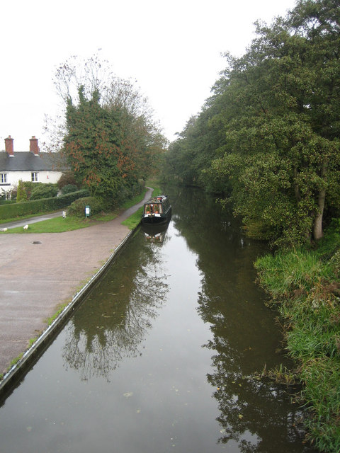
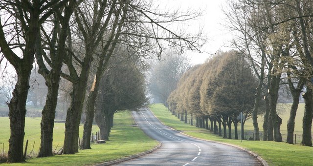
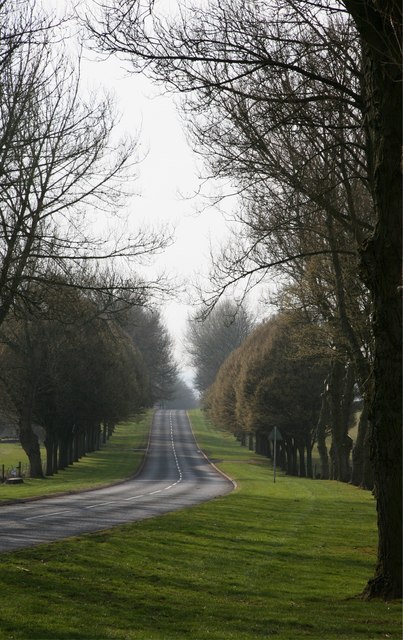
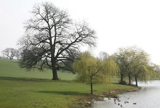
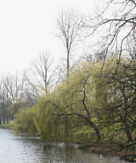
Barlaston is a small village located in the county of Staffordshire, England. It is situated approximately 5 miles southwest of the city of Stoke-on-Trent, on the southern edge of the Staffordshire Moorlands. The village is nestled in a picturesque countryside setting, surrounded by rolling hills and lush green fields.
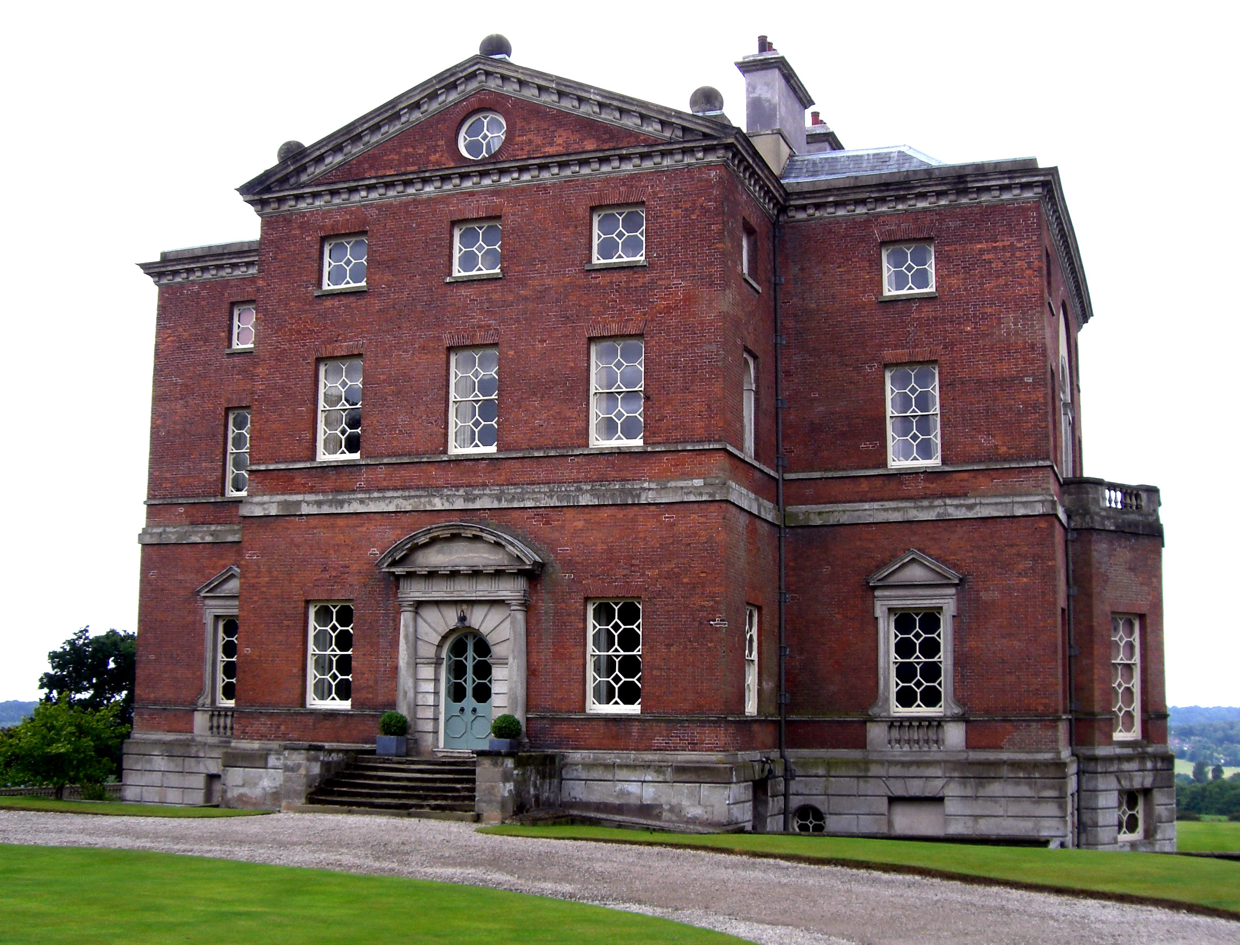
Barlaston is known for its rich history and charming architecture. One of the main attractions is Barlaston Hall, a Grade I listed building that dates back to the 18th century. The hall is a fine example of Georgian architecture and is set within beautiful landscaped gardens. It is currently owned by the Wedgwood family and is not open to the public.
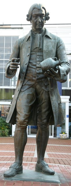
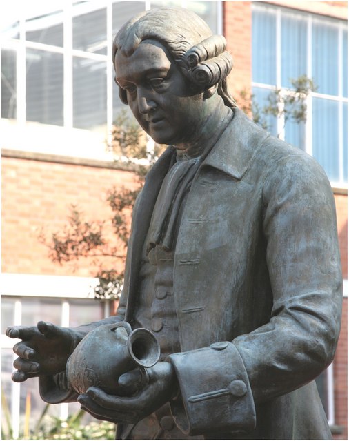
Another notable landmark in Barlaston is the Wedgwood Estate, which includes the prestigious Wedgwood pottery factory. This iconic brand has been manufacturing ceramics in the village for over 250 years. Visitors can explore the Wedgwood Visitor Centre, which offers guided tours, a museum showcasing the company's history, and a shop where one can purchase their renowned pottery.
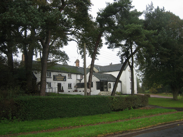
The village itself has a small but vibrant community, with a range of amenities including a primary school, a village hall, and a few local shops and pubs. The surrounding countryside offers plenty of opportunities for outdoor activities such as walking, cycling, and horse riding.
Overall, Barlaston is a charming village that seamlessly combines its historical heritage with modern attractions. It offers a tranquil escape from the nearby urban areas, while still providing a range of amenities and attractions for visitors to enjoy.
If you have any feedback on the listing, please let us know in the comments section below.
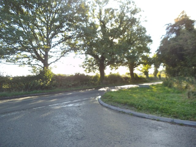
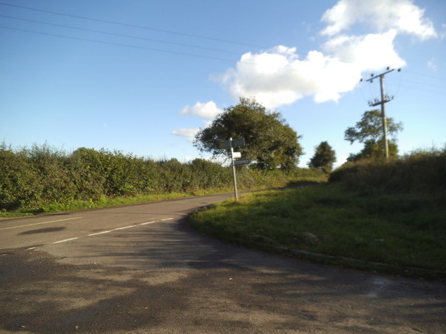
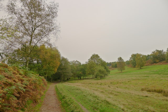
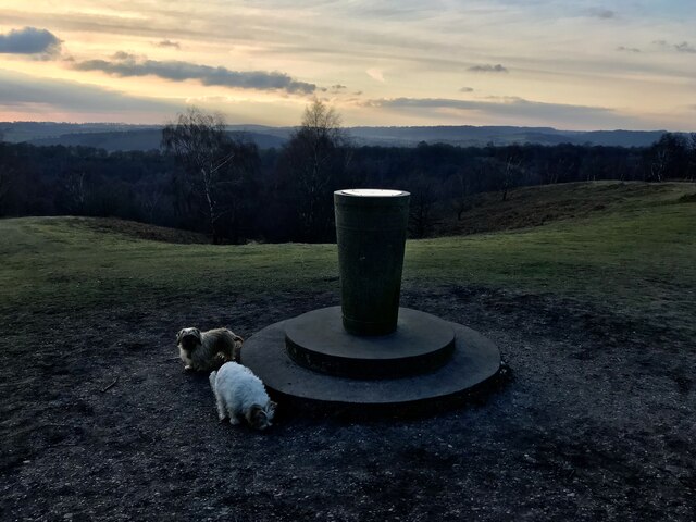
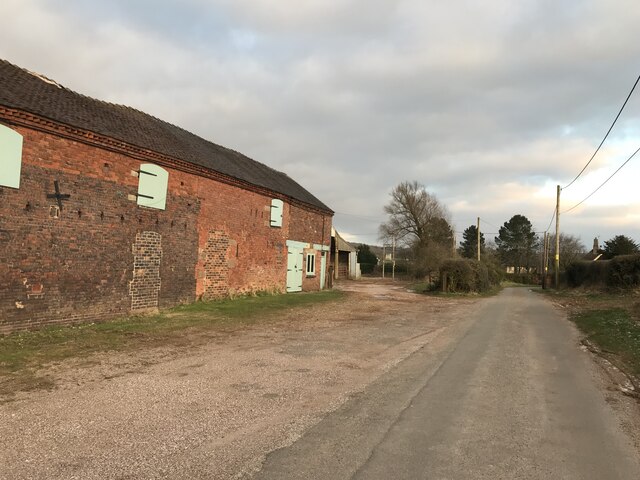
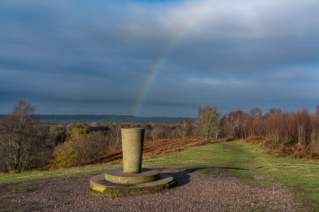
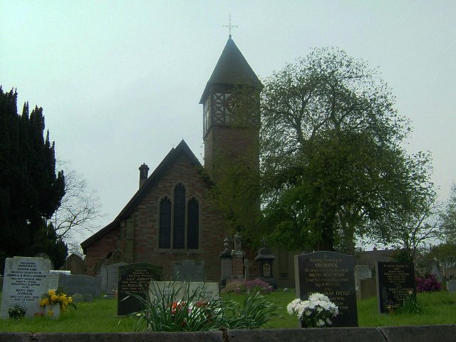
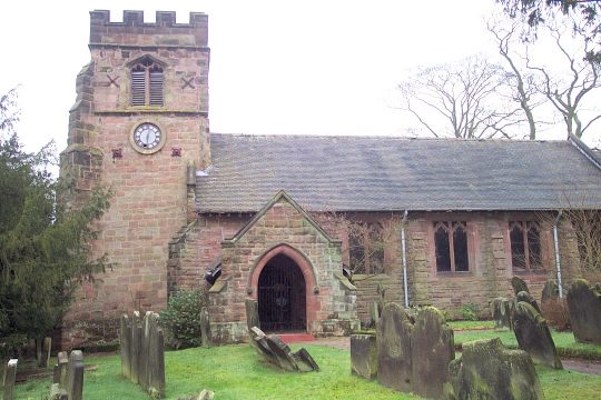
Barlaston Images
Images are sourced within 2km of 52.942999/-2.158808 or Grid Reference SJ8938. Thanks to Geograph Open Source API. All images are credited.
Barlaston is located at Grid Ref: SJ8938 (Lat: 52.942999, Lng: -2.158808)
Administrative County: Staffordshire
District: Stafford
Police Authority: Staffordshire
What 3 Words
///foam.pretty.arena. Near Barlaston, Staffordshire
Nearby Locations
Related Wikis
Barlaston
Barlaston is a village and civil parish in the borough of Stafford in the county of Staffordshire, England. It is roughly halfway between the city of...

Wedgwood Memorial College
Wedgwood Memorial College was a small residential college in Barlaston, near Stoke-on-Trent in Staffordshire, England. The college was owned and operated...

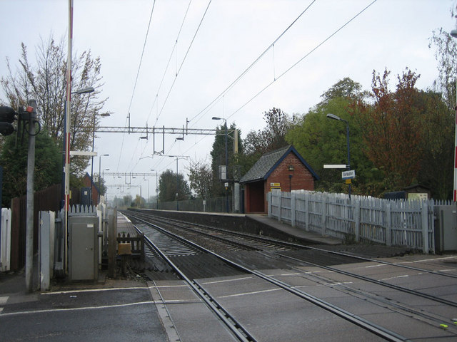
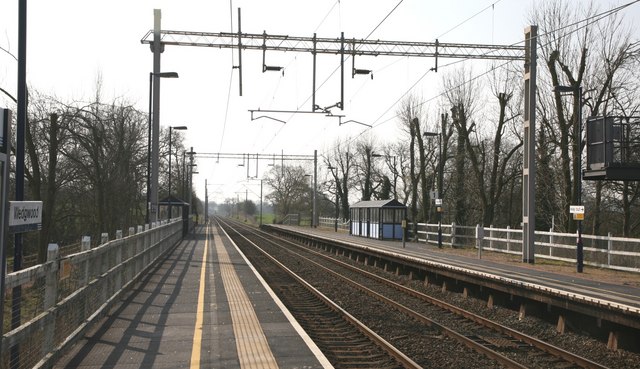
Barlaston railway station
Barlaston railway station served the village of Barlaston in Staffordshire, England. This station was opened on 17 April 1848 and is on the first line...
Barlaston Hall
Barlaston Hall is an English Palladian country house in the village of Barlaston in Staffordshire, on a ridge overlooking the valley of the River Trent...
Wedgwood railway station
Wedgwood railway station served the Wedgwood complex in Barlaston, Staffordshire, England. Although the station is not officially closed, there has been...

Downs Banks
Downs Bank, also known as Barlaston Downs, is an area of open countryside, located two miles (3 km) north of the town of Stone in Staffordshire, and four...
Meaford Power Station
Meaford Power Station was a coal-fired power station situated on the River Trent at Meaford near Stone in Staffordshire. == History == === Meaford A... ===

Tittensor
Tittensor village is located in Staffordshire, England, between Newcastle-under-Lyme and Stone. The population as taken at the 2011 census can be found...
Nearby Amenities
Located within 500m of 52.942999,-2.158808Have you been to Barlaston?
Leave your review of Barlaston below (or comments, questions and feedback).