Bardsey cum Rigton
Civil Parish in Yorkshire Leeds
England
Bardsey cum Rigton
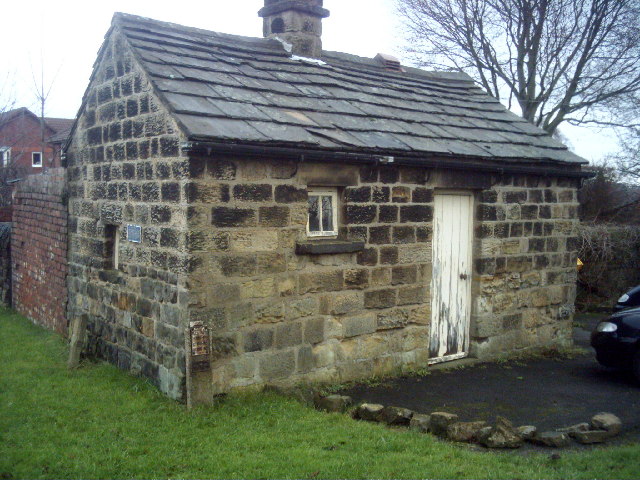
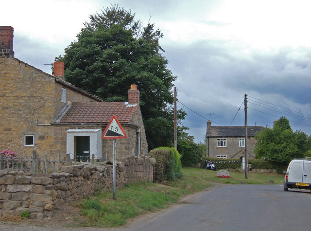
Bardsey cum Rigton is a civil parish located in the county of Yorkshire, England. It is situated approximately 8 miles north-east of the city of Leeds and covers an area of around 5 square miles. The parish consists of the villages of Bardsey and Rigton, as well as the surrounding rural areas.
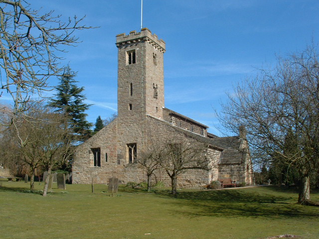
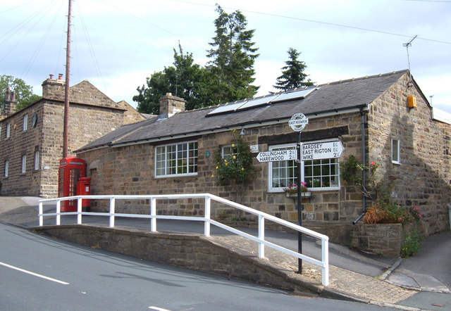
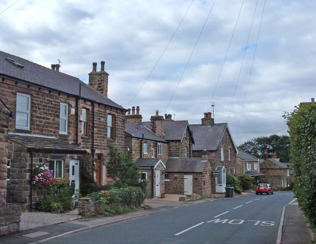
Bardsey is a picturesque village with a rich history dating back to the medieval period. It is known for its charming stone cottages, well-preserved historic buildings, and a vibrant community atmosphere. The village features a beautiful 12th-century church, St. Mary's Church, which is a prominent landmark in the area.
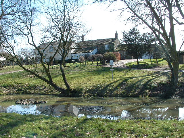
Rigton, on the other hand, is a smaller village located to the south of Bardsey. It is mainly a residential area, with a mix of traditional and modern housing developments. The village offers a peaceful and tranquil setting, surrounded by scenic countryside.
The civil parish of Bardsey cum Rigton is known for its strong sense of community and active local organizations. It has a primary school, a village hall, and various community groups that organize events and activities throughout the year.
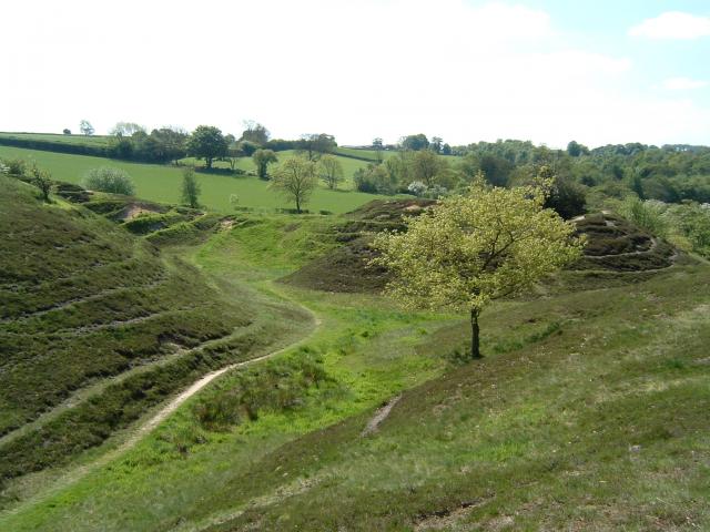
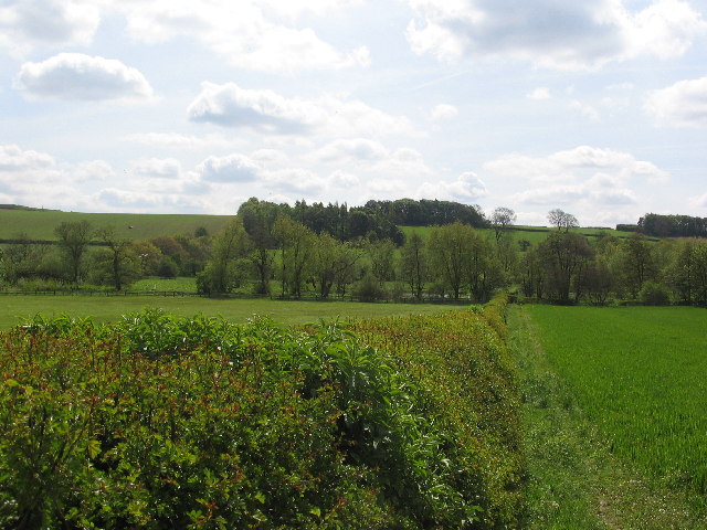
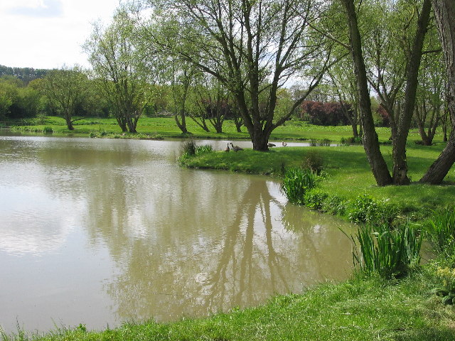
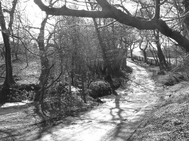
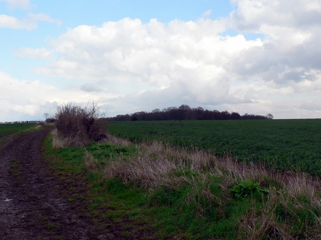
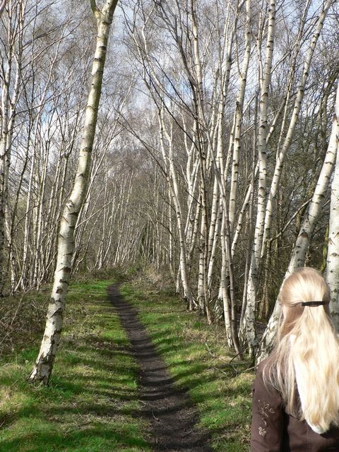
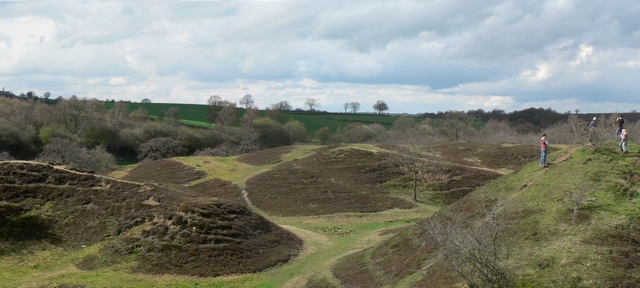
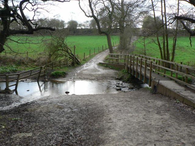
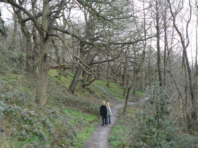
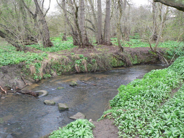
The area is also popular among outdoor enthusiasts, with numerous walking and cycling routes crisscrossing the surrounding countryside. It offers beautiful views, rolling hills, and a chance to explore the rural charm of Yorkshire.
Overall, Bardsey cum Rigton is a quintessential English civil parish, combining historic charm, natural beauty, and a close-knit community spirit.
If you have any feedback on the listing, please let us know in the comments section below.
Bardsey cum Rigton Images
Images are sourced within 2km of 53.883971/-1.444164 or Grid Reference SE3643. Thanks to Geograph Open Source API. All images are credited.

Bardsey cum Rigton is located at Grid Ref: SE3643 (Lat: 53.883971, Lng: -1.444164)
Division: West Riding
Administrative County: West Yorkshire
District: Leeds
Police Authority: West Yorkshire
What 3 Words
///tiny.across.hairstyle. Near Bardsey, West Yorkshire
Nearby Locations
Related Wikis
Bardsey, West Yorkshire
Bardsey, West Yorkshire, England is a small village in the City of Leeds metropolitan borough, 8 miles (13 km) north east of Leeds city centre. The village...
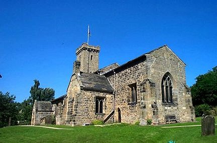
All Hallows Church, Bardsey
All Hallows Church in Bardsey, West Yorkshire, England is an active Anglican parish church in the archdeaconry of Leeds and the Diocese of Leeds. The Bardsey...
Bardsey cum Rigton
Bardsey cum Rigton is a civil parish in the City of Leeds metropolitan borough in West Yorkshire, England. According to the 2001 census it had a population...
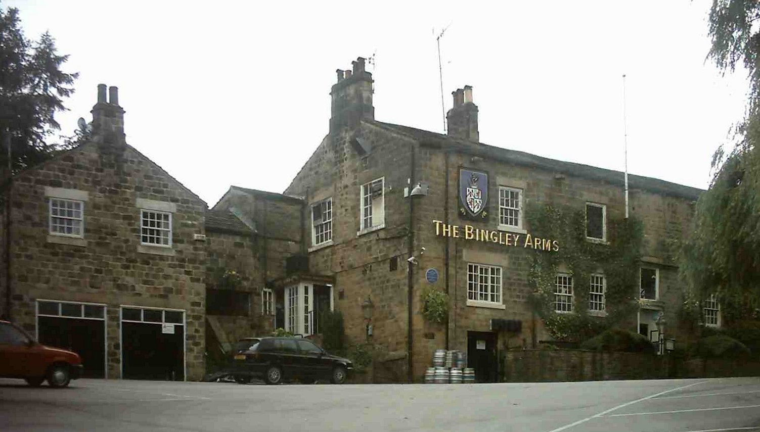
The Bingley Arms
The Bingley Arms is a public house in Bardsey, Leeds, West Yorkshire, England. It claims to be both the oldest surviving business and oldest surviving...

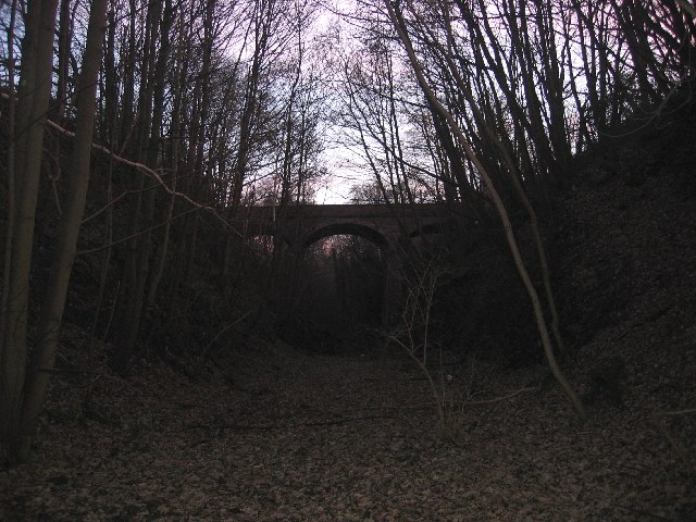
Bardsey railway station
Bardsey railway station was a railway station on the Cross Gates to Wetherby line serving the village of Bardsey, West Yorkshire connecting it with the...

East Rigton
East Rigton is a hamlet in West Yorkshire, England, immediately to the east of Bardsey. == Etymology == The name of East Rigton is first attested in the...

Boulton St. Mary's Church
Boulton St Mary's is the Church of England parish church for the Boulton ward of Derby. It is located on Boulton Lane, Alvaston, Derby, Derbyshire, England...
East Keswick
East Keswick is a village and civil parish in the City of Leeds metropolitan borough, West Yorkshire, England. It lies four miles south west of Wetherby...
Nearby Amenities
Located within 500m of 53.883971,-1.444164Have you been to Bardsey cum Rigton?
Leave your review of Bardsey cum Rigton below (or comments, questions and feedback).