Rigton, East
Settlement in Yorkshire
England
Rigton, East
The requested URL returned error: 429 Too Many Requests
If you have any feedback on the listing, please let us know in the comments section below.
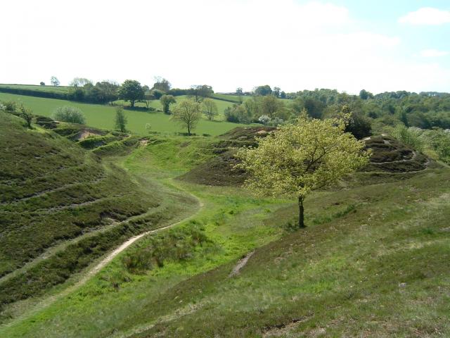
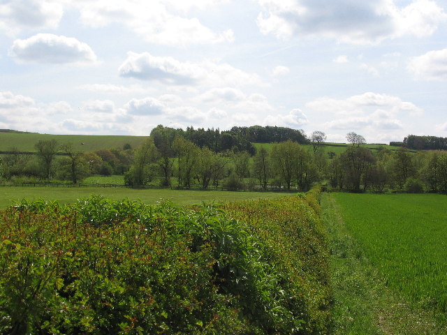
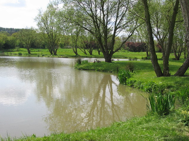
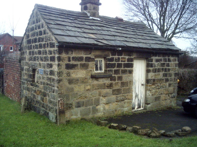
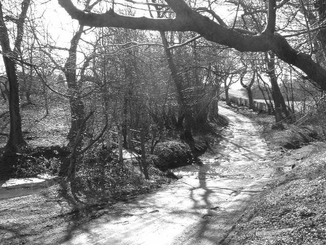
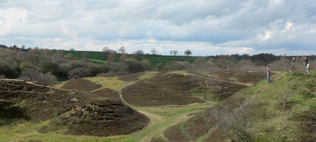
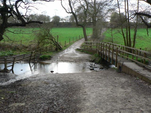
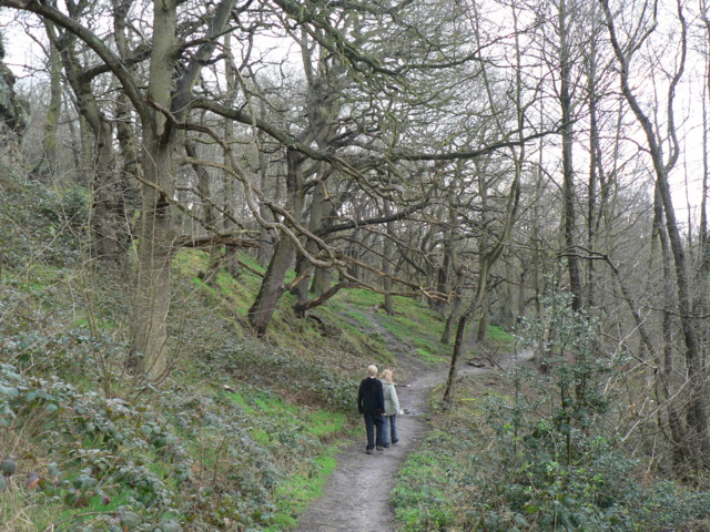
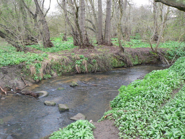
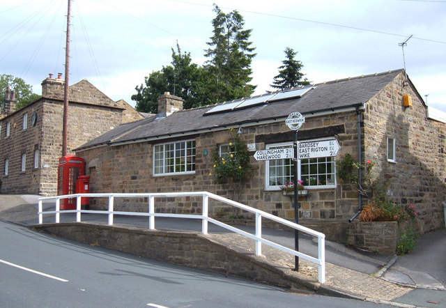
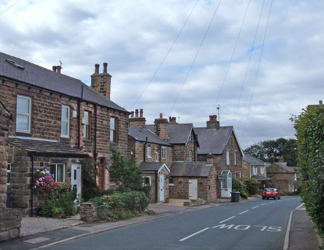
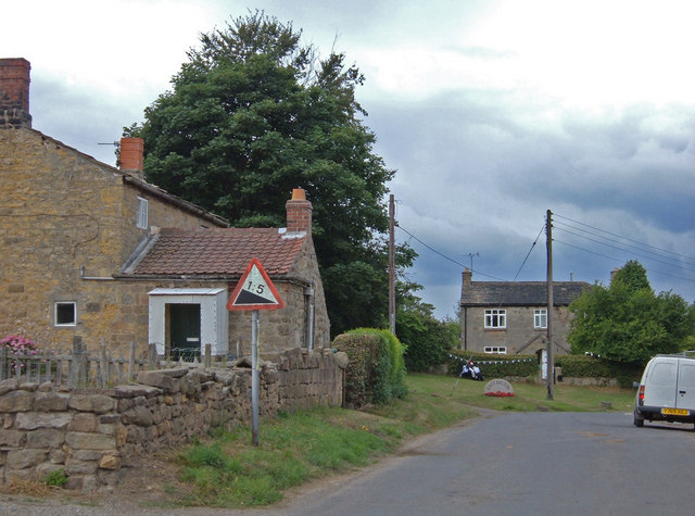
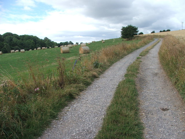
Rigton, East Images
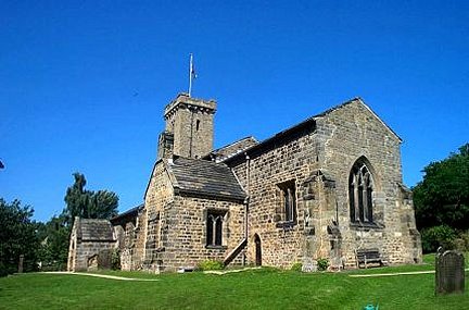
Images are sourced within 2km of 53.88195/-1.4538438 or Grid Reference SE3643. Thanks to Geograph Open Source API. All images are credited.


Rigton, East is located at Grid Ref: SE3643 (Lat: 53.88195, Lng: -1.4538438)
Division: West Riding
Unitary Authority: Leeds
Police Authority: West Yorkshire
What 3 Words
///corrode.sunshine.vandalism. Near Bardsey, West Yorkshire
Nearby Locations
Related Wikis
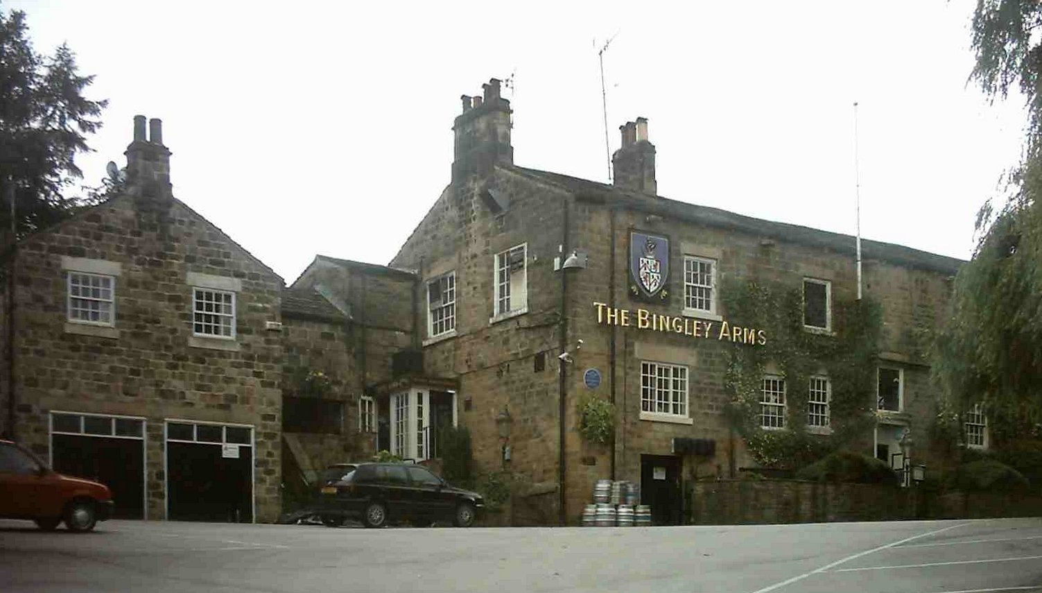
The Bingley Arms
The Bingley Arms is a public house in Bardsey, Leeds, West Yorkshire, England. It claims to be both the oldest surviving business and oldest surviving...
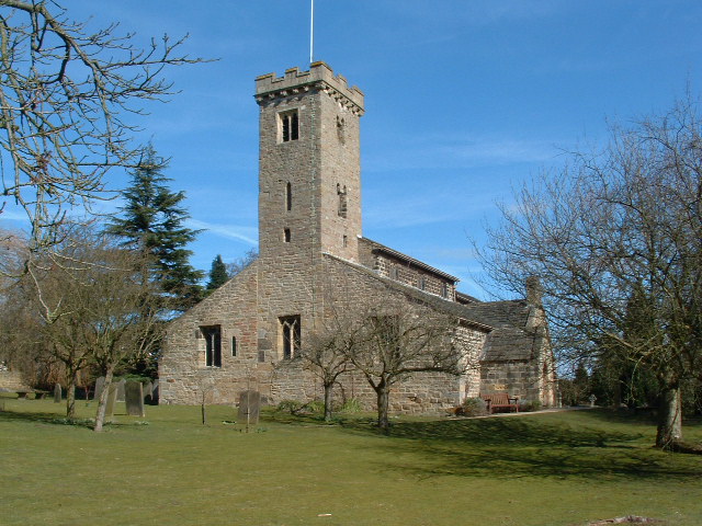
All Hallows Church, Bardsey
All Hallows Church in Bardsey, West Yorkshire, England is an active Anglican parish church in the archdeaconry of Leeds and the Diocese of Leeds. The Bardsey...
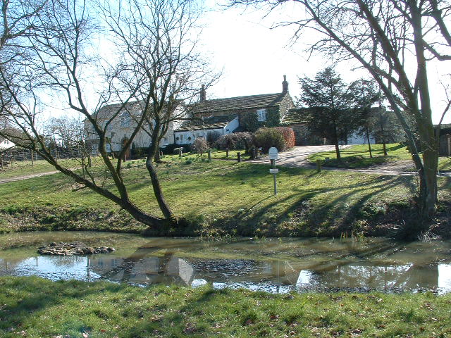
Bardsey, West Yorkshire
Bardsey, West Yorkshire, England is a small village in the City of Leeds metropolitan borough, 8 miles (13 km) north east of Leeds city centre. The village...
Bardsey cum Rigton
Bardsey cum Rigton is a civil parish in the City of Leeds metropolitan borough in West Yorkshire, England. According to the 2001 census it had a population...
Nearby Amenities
Located within 500m of 53.88195,-1.4538438Have you been to Rigton, East?
Leave your review of Rigton, East below (or comments, questions and feedback).