Castle Hill

Heritage Site in Yorkshire

England

Castle Hill

Pompocali Extensive earthworks on the course of an old Roman Road. No one is certain what they are but they may be the remains of a Roman Fort.
Pompocali Credit: Paul Allison

Castle Hill is a prominent heritage site located in the county of Yorkshire, England. Situated near the town of Huddersfield, Castle Hill stands atop a large hill, offering breathtaking panoramic views of the surrounding countryside. The site is adorned with a distinctive monument, commonly referred to as Victoria Tower, which was erected in honor of Queen Victoria's Diamond Jubilee in 1899.

The hill itself has a rich historical significance, with evidence of human activity on its grounds dating back to the Bronze Age. In fact, archaeological excavations have unearthed remains of an Iron Age hillfort, indicating its use as a defensive stronghold during ancient times. The hill's strategic position made it an ideal location for settlements throughout history.

The Victoria Tower, standing at an impressive 106 feet, is a prominent feature of Castle Hill and serves as a symbol of the town's heritage. Constructed from local stone, the tower boasts a unique architectural design, blending elements of Gothic revival and Victorian styles. Visitors to Castle Hill can climb the tower, where they are rewarded with breathtaking views of the surrounding countryside, including the Pennines, Peak District, and even glimpses of the cities of Leeds and Manchester on clear days.

Aside from its historical and architectural significance, Castle Hill offers a range of recreational activities for visitors. The hill is a popular spot for hiking and walking, with various trails leading to the summit. Additionally, the site hosts events throughout the year, such as outdoor concerts, cultural festivals, and historical reenactments, making it a vibrant hub for locals and tourists alike.

In conclusion, Castle Hill in Yorkshire stands as a cherished heritage site, combining historical significance, architectural beauty, and stunning natural surroundings. Its rich history, panoramic views, and recreational offerings make it a must-visit destination for anyone exploring the region.

If you have any feedback on the listing, please let us know in the comments section below.
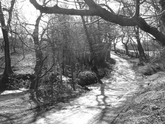
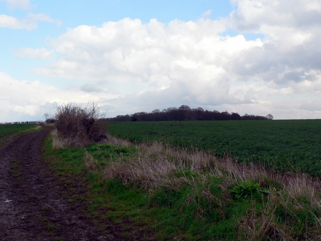
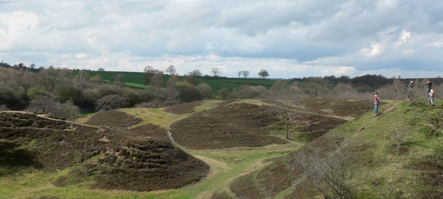
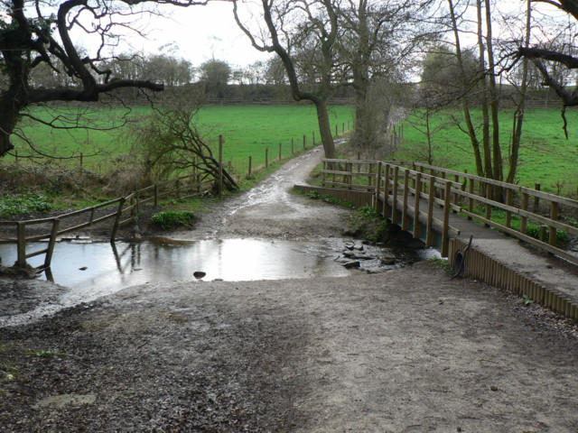
Castle Hill Images

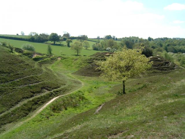
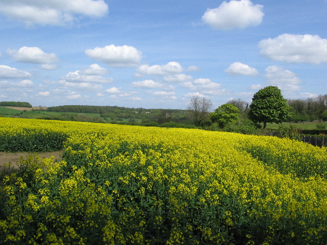
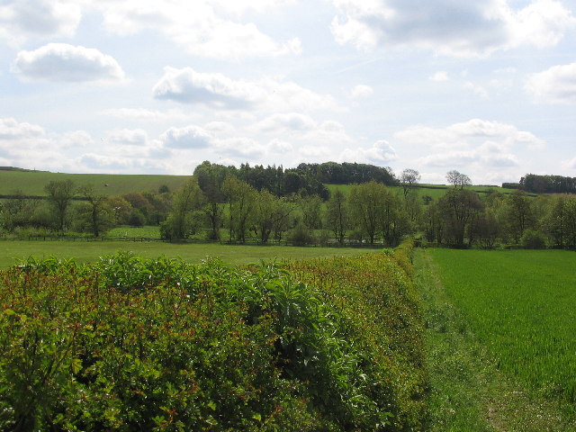
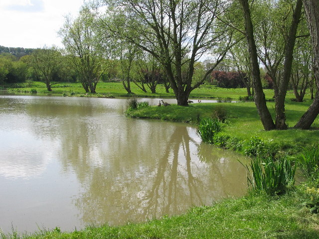
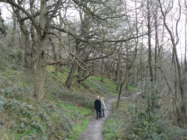
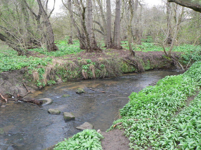
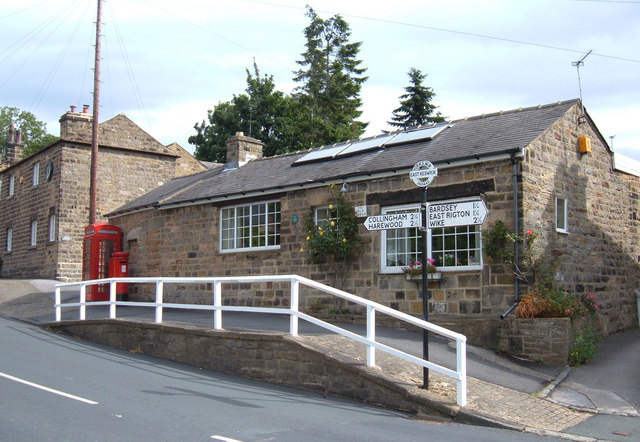
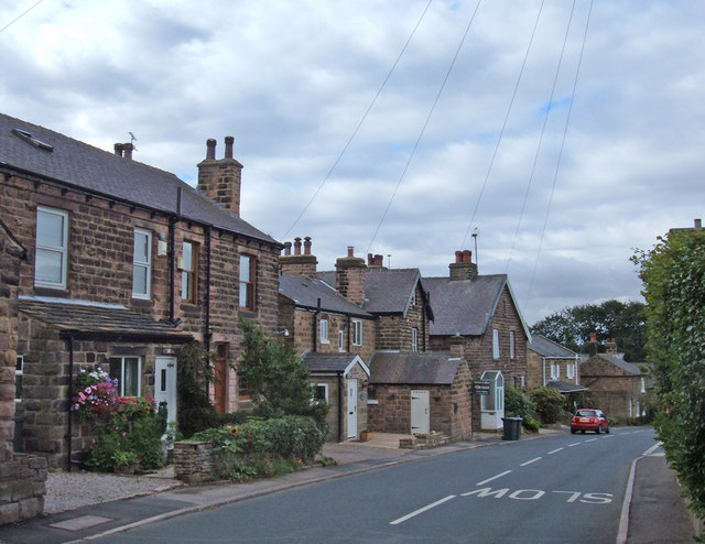
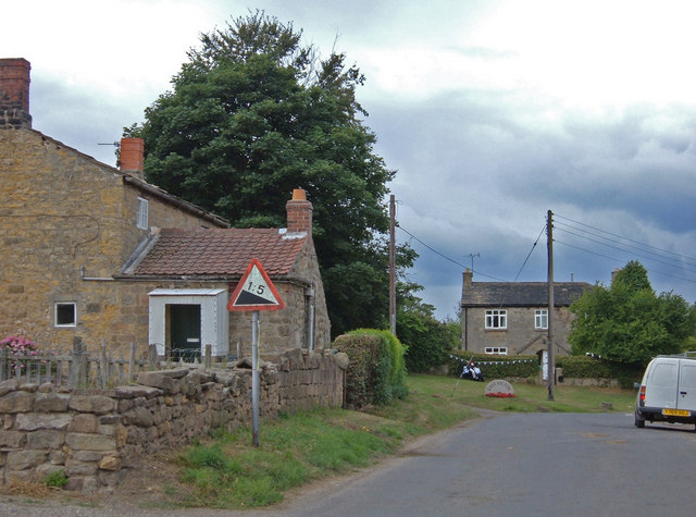
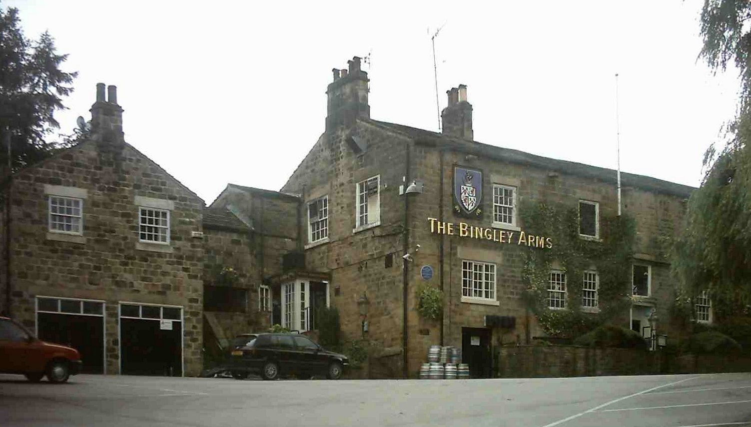
Images are sourced within 2km of 53.887/-1.445 or Grid Reference SE3643. Thanks to Geograph Open Source API. All images are credited.

Pompocali Extensive earthworks on the course of an old Roman Road. No one is certain what they are but they may be the remains of a Roman Fort.
Pompocali
Extensive earthworks on the course of an old Roman Road. No one is certain what they are but they may be the remains of a Roman Fort.
Field next to A659 just north of East Keswick Field next to A659 just north of East Keswick
Field next to A659 just north of East Keswick
Landscape south west of East Keswick Landscape south west of East Keswick
Landscape south west of East Keswick
Pond on Keswick Beck Near Rigton Grange
Pond on Keswick Beck
Near Rigton Grange
Scarcroft Toll Bar House Built after the construction of the Wetherby/Leeds road in 1826. The Toll system lapsed by 1876 and the gates where removed.
Scarcroft Toll Bar House
Built after the construction of the Wetherby/Leeds road in 1826. The Toll system lapsed by 1876 and the gates where removed.
"The Travellers Rest" public house On the A659 between Collingham and Harewood
"The Travellers Rest" public house
On the A659 between Collingham and Harewood
Field House, East Keswick This was a working farm when the photograph was taken, but the farm buildings have now been converted to residential properties
Field House, East Keswick
This was a working farm when the photograph was taken, but the farm buildings have now been converted to residential properties
Bardsey Parish Church The Parish Church of All Hallows goes back to Saxon times.  The lower part of the tower dates from 800/825 and the upper from the tenth century.
Bardsey Parish Church
The Parish Church of All Hallows goes back to Saxon times. The lower part of the tower dates from 800/825 and the upper from the tenth century.
Bardsey village pond The fringe of the village seems an odd place for the village pond but the sign confirms its identity
Bardsey village pond
The fringe of the village seems an odd place for the village pond but the sign confirms its identity
Ford on Spear Fir 1 p.m. on the second day of Spring and it looks (and felt) like winter
Ford on Spear Fir
1 p.m. on the second day of Spring and it looks (and felt) like winter
Roman Road, Bardsey According to the OS Map, the track to the left of the hedge is the course of a Roman Road. How can they tell? It just looks like a muddy track at the edge of a field to me! The wood in the background is Stubbing Moor Plantation.
Roman Road, Bardsey
According to the OS Map, the track to the left of the hedge is the course of a Roman Road. How can they tell? It just looks like a muddy track at the edge of a field to me! The wood in the background is Stubbing Moor Plantation.
Pompocali Pompocali is an area of earthworks, just south of Hetchell Wood between Bardsey and Scarcroft. It is traditionally believed to be the remains of a Roman Fort. However recent research suggests that it is more likely to be waste material from nearby quarrying around Hetchell Crags, possibly in the Roman period.
The research is documented at <span class="nowrap"><a title="http://www.pompocali.co.uk/" rel="nofollow ugc noopener" href="http://www.pompocali.co.uk/">Link</a><img style="margin-left:2px;" alt="External link" title="External link - shift click to open in new window" src="https://s1.geograph.org.uk/img/external.png" width="10" height="10"/></span>
Pompocali
Pompocali is an area of earthworks, just south of Hetchell Wood between Bardsey and Scarcroft. It is traditionally believed to be the remains of a Roman Fort. However recent research suggests that it is more likely to be waste material from nearby quarrying around Hetchell Crags, possibly in the Roman period. The research is documented at LinkExternal link
Ford, Bardsey Beck by Hetchell Wood The Roman Road comes between Hetchell Wood and Pompocali, and crosses Bardsey Beck on its way west.
Ford, Bardsey Beck by Hetchell Wood
The Roman Road comes between Hetchell Wood and Pompocali, and crosses Bardsey Beck on its way west.
Hetchell Wood The path heading south through Hetchell Wood, beside Hetchell Craggs, just visible at top left.
Hetchell Wood
The path heading south through Hetchell Wood, beside Hetchell Craggs, just visible at top left.
Bardsey Beck in Dam Wood Stepping stones (and stepping tyre) in Bardsey Beck at the south-east corner of Dam Wood.
Bardsey Beck in Dam Wood
Stepping stones (and stepping tyre) in Bardsey Beck at the south-east corner of Dam Wood.
The Old Forge, East Keswick Situated on Main Street opposite the junction with Moor Lane. East Keswick is less than a mile to the south of the A659 to the southwest of Collingham.
The Old Forge, East Keswick
Situated on Main Street opposite the junction with Moor Lane. East Keswick is less than a mile to the south of the A659 to the southwest of Collingham.
Whitegate, East Keswick These cottages are at the northern end of the village. The road through the village descends quite steeply down to Keswick beck at its southern end.
Whitegate, East Keswick
These cottages are at the northern end of the village. The road through the village descends quite steeply down to Keswick beck at its southern end.
Top of Rigton Bank Rigton Bank is a steep hill that climbs through the village of East Rigton on the east side of the A58, Wetherby Road.
Top of Rigton Bank
Rigton Bank is a steep hill that climbs through the village of East Rigton on the east side of the A58, Wetherby Road.
Show me another place!

Castle Hill is located at Grid Ref: SE3643 (Lat: 53.887, Lng: -1.445)

Division: West Riding

Unitary Authority: Leeds

Police Authority: West Yorkshire

What 3 Words

///waffle.crusher.hothouse. Near Bardsey, West Yorkshire

Related Wikis

Bardsey railway station

Bardsey railway station was a railway station on the Cross Gates to Wetherby line serving the village of Bardsey, West Yorkshire connecting it with the...

Bardsey, West Yorkshire

Bardsey, West Yorkshire, England is a small village in the City of Leeds metropolitan borough, 8 miles (13 km) north east of Leeds city centre. The village...

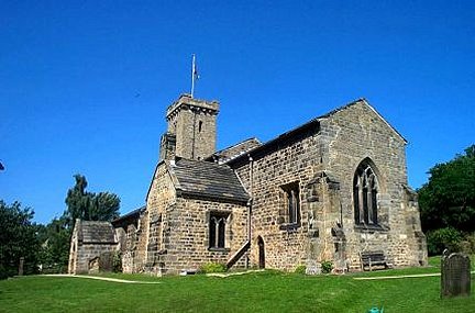
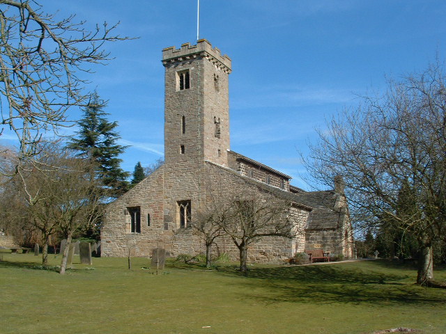
All Hallows Church, Bardsey

All Hallows Church in Bardsey, West Yorkshire, England is an active Anglican parish church in the archdeaconry of Leeds and the Diocese of Leeds. The Bardsey...

East Rigton

East Rigton is a hamlet in West Yorkshire, England, immediately to the east of Bardsey. == Etymology == The name of East Rigton is first attested in the...

Nearby Amenities

Located within 500m of 53.887,-1.445
Bardsey
Is In: UK, Yorkshire
Is In Country Code: GB
Is In County: West Yorkshire
Is In Municipality: Leeds
Old Name: Berdesei;Bereleseie
Place: village
Wikidata: Q4860222
Wikipedia: en:Bardsey, West Yorkshire
Lat/Long: 53.8836959/-1.4474736
Bus Stop
Wetherby Road Wood Lane
Bus: yes
Local Ref: 45010210
Naptan AtcoCode: 450010210
Naptan Bearing: S
Naptan CommonName: Wetherby Road Wood Lane
Naptan Crossing: Wood Lane
Naptan Indicator: Stop 45010210
Naptan PlusbusZoneRef: LEEDS
Naptan ShortCommonName: Wood Lane
Naptan Street: Wetherby Road
Naptan Verified: no
Public Transport: platform
Source: naptan_import
Lat/Long: 53.8840747/-1.4400384
Bus Stop
Wetherby Road Grange Close
Bus: yes
Local Ref: 45010211
Naptan AtcoCode: 450010211
Naptan Bearing: NW
Naptan CommonName: Wetherby Road Grange Close
Naptan Crossing: Grange Close
Naptan Indicator: Stop 45010211
Naptan PlusbusZoneRef: LEEDS
Naptan ShortCommonName: Grange Close
Naptan Street: Wetherby Road
Naptan Verified: no
Public Transport: platform
Source: naptan_import
Lat/Long: 53.8863613/-1.440799
Bus Stop
Wetherby Road Rigton Bank
Bus: yes
Local Ref: 45010212
Naptan AtcoCode: 450010212
Naptan Bearing: SW
Naptan CommonName: Wetherby Road Rigton Bank
Naptan Crossing: Rigton Bank
Naptan Indicator: Stop 45010212
Naptan PlusbusZoneRef: LEEDS
Naptan ShortCommonName: Rigton Bank
Naptan Street: Wetherby Road
Naptan Verified: no
Public Transport: platform
Source: naptan_import
Lat/Long: 53.8893121/-1.4413834
Bus Stop
Wetherby Road Mill Lane
Bus: yes
Local Ref: 45014818
Naptan AtcoCode: 450014818
Naptan Bearing: SE
Naptan CommonName: Wetherby Road Mill Lane
Naptan Crossing: Mill Lane
Naptan Indicator: Stop 45014818
Naptan PlusbusZoneRef: LEEDS
Naptan ShortCommonName: Mill Lane
Naptan Street: Wetherby Road
Naptan Verified: no
Public Transport: platform
Source: naptan_import
Lat/Long: 53.8862161/-1.4405118
Bus Stop
Wetherby Road Rigton Bank
Bus: yes
Local Ref: 45014819
Naptan AtcoCode: 450014819
Naptan Bearing: NE
Naptan CommonName: Wetherby Road Rigton Bank
Naptan Crossing: Rigton Bank
Naptan Indicator: Stop 45014819
Naptan Landmark: Garage
Naptan PlusbusZoneRef: LEEDS
Naptan ShortCommonName: Rigton Bank
Naptan Street: Wetherby Road
Naptan Verified: no
Public Transport: platform
Source: naptan_import
Lat/Long: 53.8903304/-1.4400156
Bus Stop
Keswick Lane Wetherby Road
Bus: yes
Local Ref: 45014869
Naptan AtcoCode: 450014869
Naptan Bearing: NW
Naptan CommonName: Keswick Lane Wetherby Road
Naptan Crossing: Wetherby Road
Naptan Indicator: Stop 45014869
Naptan PlusbusZoneRef: LEEDS
Naptan ShortCommonName: Wetherby Road
Naptan Street: Keswick Lane
Naptan Verified: no
Public Transport: platform
Source: naptan_import
Lat/Long: 53.8901144/-1.4418901
Bus Stop
Keswick Lane The Drive
Bus: yes
Local Ref: 45014870
Naptan AtcoCode: 450014870
Naptan Bearing: E
Naptan CommonName: Keswick Lane The Drive
Naptan Crossing: The Drive
Naptan Indicator: Stop 45014870
Naptan PlusbusZoneRef: LEEDS
Naptan ShortCommonName: The Drive
Naptan Street: Keswick Lane
Naptan Verified: no
Public Transport: platform
Source: naptan_import
Lat/Long: 53.8903514/-1.4425868
Bus Stop
Keswick Lane Woodacre Green
Bus: yes
Local Ref: 45014871
Naptan AtcoCode: 450014871
Naptan Bearing: E
Naptan CommonName: Keswick Lane Woodacre Green
Naptan Crossing: Woodacre Green
Naptan Indicator: Stop 45014871
Naptan PlusbusZoneRef: LEEDS
Naptan ShortCommonName: Woodacre Green
Naptan Street: Keswick Lane
Naptan Verified: no
Public Transport: platform
Source: naptan_import
Lat/Long: 53.8901351/-1.4463632
Bus Stop
Keswick Lane Woodacre Green
Bus: yes
Local Ref: 45014872
Naptan AtcoCode: 450014872
Naptan Bearing: W
Naptan CommonName: Keswick Lane Woodacre Green
Naptan Crossing: Woodacre Green
Naptan Indicator: Stop 45014872
Naptan PlusbusZoneRef: LEEDS
Naptan ShortCommonName: Woodacre Green
Naptan Street: Keswick Lane
Naptan Verified: no
Public Transport: platform
Source: naptan_import
Lat/Long: 53.8899536/-1.4479176
Church Lane
Local Ref: 45025128
Naptan AtcoCode: 450025128
Naptan Bearing: E
Naptan BusStopType: CUS
Naptan CommonName: Church Lane
Naptan Crossing: Wetherby Road
Naptan Indicator: Stop 45025128
Naptan PlusbusZoneRef: LEEDS
Naptan ShortCommonName: Wetherby Road
Naptan Street: Church Lane
Naptan Verified: no
Source: naptan_import
Lat/Long: 53.883844/-1.4406804
Castle Hill
Natural: peak
Lat/Long: 53.8849051/-1.4453448
Turning Circle
Lat/Long: 53.8892869/-1.4480041
Turning Circle
Lat/Long: 53.8844701/-1.4409201
Turning Circle
Lat/Long: 53.886015/-1.4427541
Noexit: yes
Lat/Long: 53.8894081/-1.4420501
Turning Circle
Lat/Long: 53.8848518/-1.4421169
Turning Circle
Lat/Long: 53.8862343/-1.4409089
Noexit: yes
Lat/Long: 53.8886906/-1.4429186
Noexit: yes
Lat/Long: 53.8889792/-1.4420528
Traffic Signals
Lat/Long: 53.8896521/-1.4410296
Barrier: kissing_gate
Lat/Long: 53.8897435/-1.4502197
Entrance: main
School: entrance
Lat/Long: 53.8862139/-1.4468732
Entrance: main
School: entrance
Lat/Long: 53.8859799/-1.4466741
Entrance: service
School: entrance
Lat/Long: 53.8867426/-1.4474009
Entrance: main
School: entrance
Lat/Long: 53.8872539/-1.4481597
Post Box
Operator: Royal Mail
Post Box Type: wall
Ref: LS17 104
Lat/Long: 53.8830476/-1.4461255
Noexit: yes
Lat/Long: 53.8902255/-1.4407384
Noexit: yes
Lat/Long: 53.8904996/-1.4402759
Turning Circle
Lat/Long: 53.8832195/-1.4417727
Turning Circle
Lat/Long: 53.8894216/-1.4465815
Post Box
Operator: Royal Mail
Post Box Type: lamp
Ref: LS17 985
Lat/Long: 53.889903/-1.4476592
Public Bookcase
Booth: K6
Colour: red
Disused Amenity: telephone
Man Made: telephone_box
Public Bookcase Type: phone_box
Lat/Long: 53.8838975/-1.4418146
Post Box
Operator: Royal Mail
Post Box Type: pillar
Ref: LS17 138
Lat/Long: 53.8902627/-1.441914
Post Box
Operator: Royal Mail
Post Box Type: lamp
Ref: LS17 944
Lat/Long: 53.8862925/-1.4394732
Generator Method: photovoltaic
Generator Output Electricity: yes
Generator Source: solar
Generator Type: solar_photovoltaic_panel
Location: roof
Power: generator
Lat/Long: 53.8898719/-1.4463724
Generator Method: photovoltaic
Generator Output Electricity: yes
Generator Source: solar
Generator Type: solar_photovoltaic_panel
Location: roof
Power: generator
Lat/Long: 53.8898529/-1.4466755
Generator Method: photovoltaic
Generator Output Electricity: yes
Generator Source: solar
Generator Type: solar_photovoltaic_panel
Location: roof
Power: generator
Lat/Long: 53.8898465/-1.4467667
Generator Method: photovoltaic
Generator Output Electricity: yes
Generator Source: solar
Generator Type: solar_photovoltaic_panel
Location: roof
Power: generator
Lat/Long: 53.8892403/-1.4468431
Generator Method: photovoltaic
Generator Output Electricity: yes
Generator Source: solar
Generator Type: solar_photovoltaic_panel
Location: roof
Power: generator
Lat/Long: 53.8891937/-1.4472971
Generator Method: photovoltaic
Generator Output Electricity: yes
Generator Source: solar
Generator Type: solar_photovoltaic_panel
Location: roof
Power: generator
Lat/Long: 53.8896663/-1.4481695
Turning Circle
Lat/Long: 53.8895944/-1.443835
Turning Circle
Lat/Long: 53.8884547/-1.4427233
Noexit: yes
Lat/Long: 53.8901998/-1.4409505
Turning Circle
Lat/Long: 53.8857558/-1.4419709
Waste Basket
Ref UK Leedscc Bin: 3689
Lat/Long: 53.887324/-1.448303
Waste Basket
Ref UK Leedscc Bin: 3690
Lat/Long: 53.88695/-1.447797
Waste Basket
Ref UK Leedscc Bin: 1580
Lat/Long: 53.88992/-1.441626
Waste Basket
Ref UK Leedscc Bin: 3607
Lat/Long: 53.889583/-1.44132
Waste Basket
Ref UK Leedscc Bin: 3606
Lat/Long: 53.889475/-1.441171
Waste Basket
Ref UK Leedscc Bin: 3608
Lat/Long: 53.89001/-1.440584
Waste Basket
Ref UK Leedscc Bin: 3691
Lat/Long: 53.886318/-1.446987
Waste Basket
Ref UK Leedscc Bin: 3688
Lat/Long: 53.885683/-1.446449
Waste Basket
Ref UK Leedscc Bin: 3692
Lat/Long: 53.884119/-1.445189
Waste Basket
Ref UK Leedscc Bin: 649
Lat/Long: 53.883416/-1.444633
Waste Basket
Ref UK Leedscc Bin: 644
Lat/Long: 53.883055/-1.446184
Waste Basket
Ref UK Leedscc Bin: 3605
Lat/Long: 53.884598/-1.44032
Generator Method: photovoltaic
Generator Output Electricity: yes
Generator Source: solar
Generator Type: solar_photovoltaic_panel
Location: roof
Power: generator
Lat/Long: 53.8892248/-1.4469804
Parking
Parking: layby
Lat/Long: 53.8879401/-1.4482037
Generator Method: photovoltaic
Generator Output Electricity: yes
Generator Source: solar
Generator Type: solar_photovoltaic_panel
Location: roof
Power: generator
Lat/Long: 53.8837842/-1.443861
Generator Method: photovoltaic
Generator Output Electricity: yes
Generator Source: solar
Generator Type: solar_photovoltaic_panel
Location: roof
Power: generator
Lat/Long: 53.8847166/-1.4462087
Waste Basket
Waste: dog_excrement
Lat/Long: 53.8901637/-1.4441547
Barrier: cycle_barrier
Lat/Long: 53.8902975/-1.4441788
Information: board
Tourism: information
Lat/Long: 53.8903006/-1.4442001
The data included in this document is from www.openstreetmap.org. The data is made available under ODbL.

Have you been to Castle Hill?

Leave your review of Castle Hill below (or comments, questions and feedback).