Aspley Heath
Civil Parish in Buckinghamshire
England
Aspley Heath
Aspley Heath is a small civil parish located in the county of Buckinghamshire, England. It is situated about 5 miles northwest of the town of Milton Keynes and covers an area of approximately 4 square kilometers. The parish is bordered by the towns of Woburn Sands and Bow Brickhill.
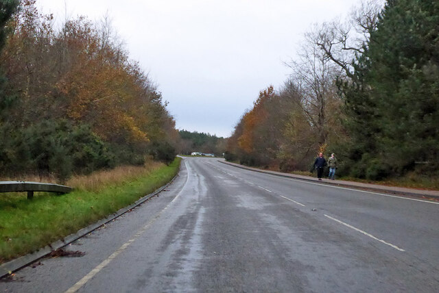
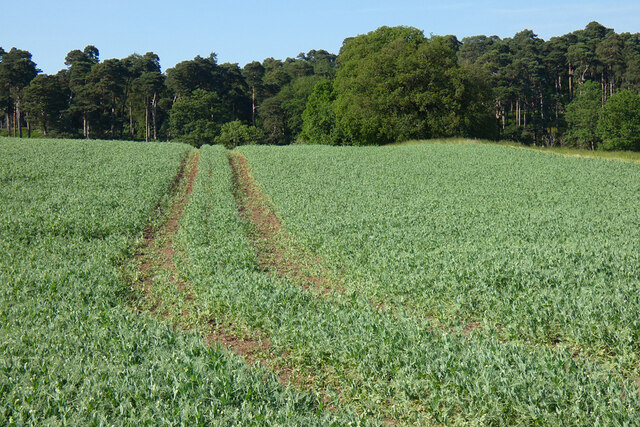
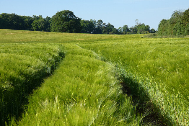
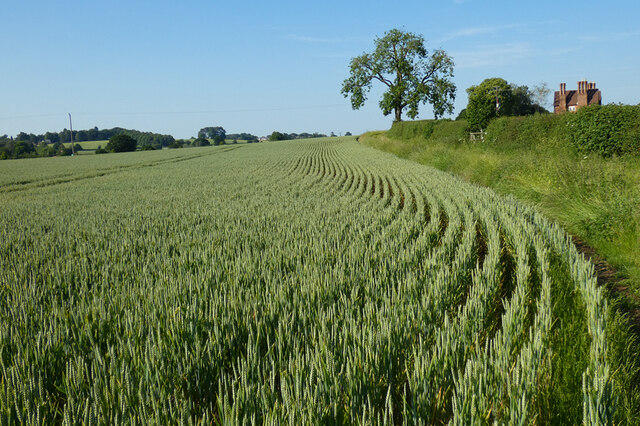
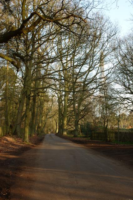
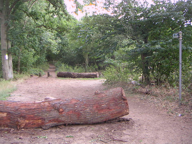
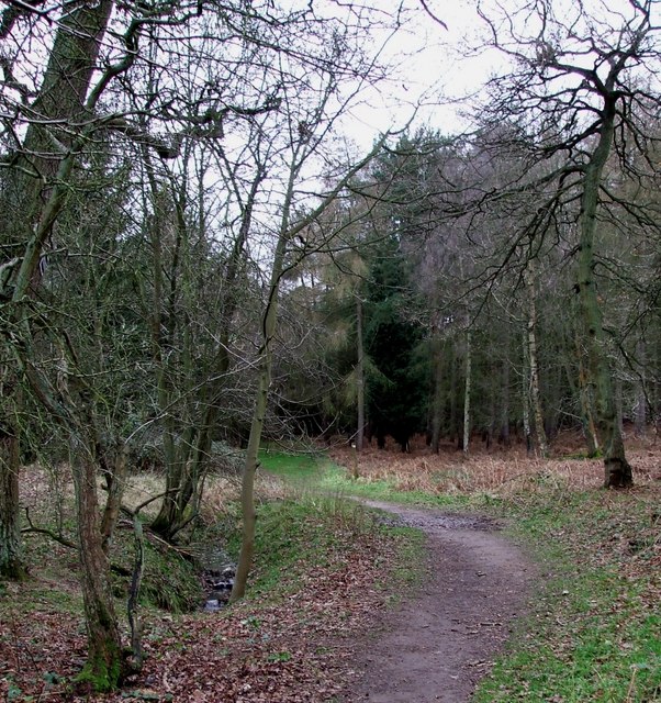
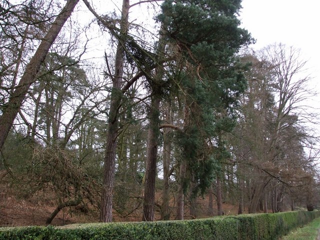
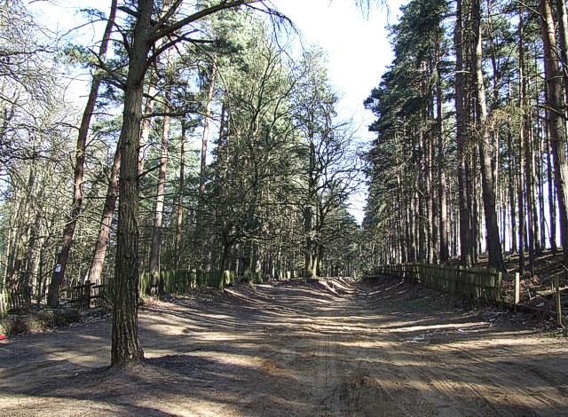
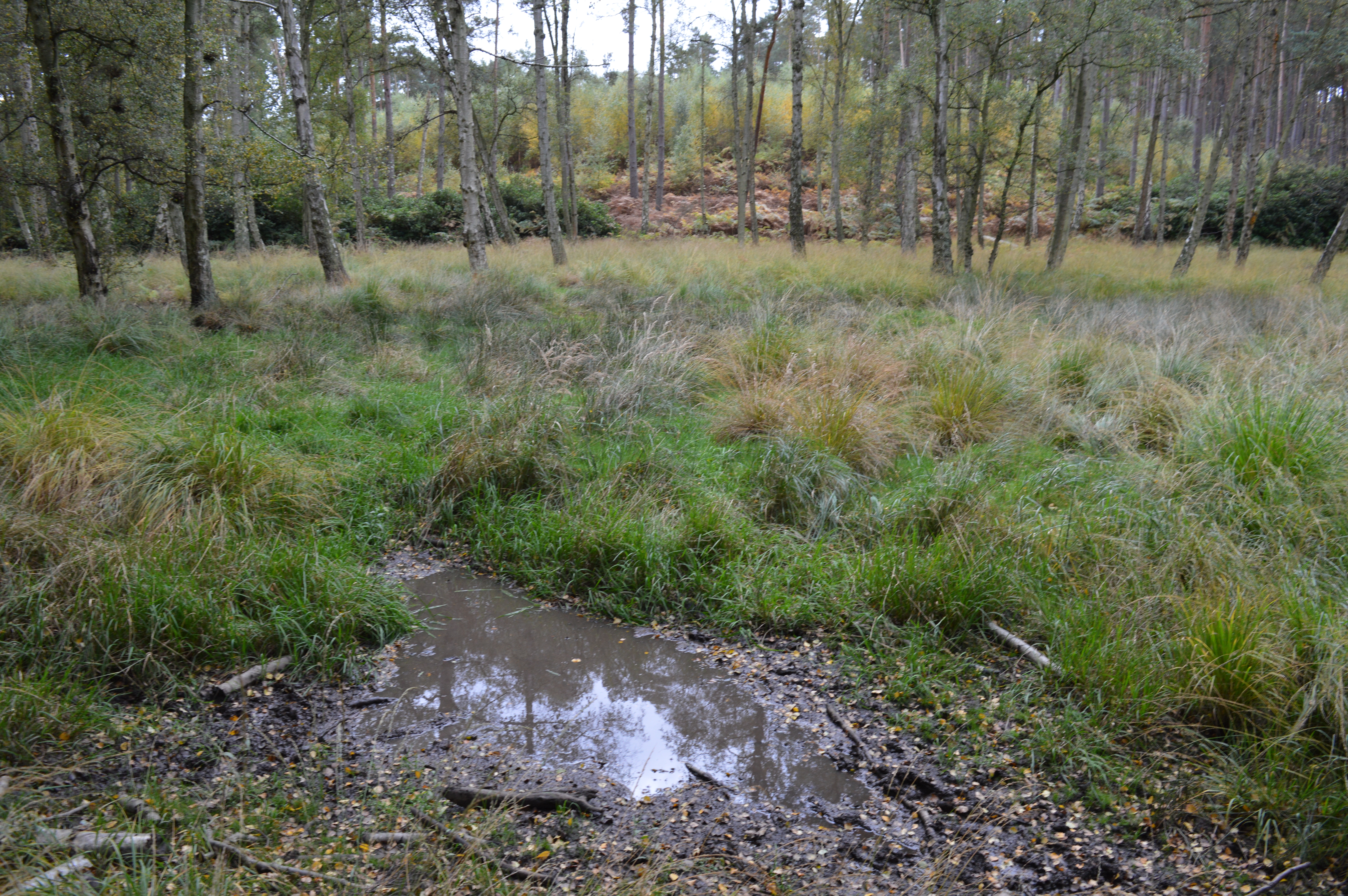
The area of Aspley Heath is predominantly rural, with a mix of agricultural land and woodland. The terrain is gently undulating, with some small hills providing scenic views of the surrounding countryside. The landscape is characterized by open fields, hedgerows, and pockets of woodland.
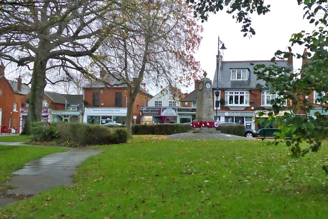
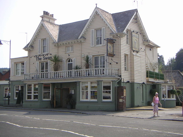
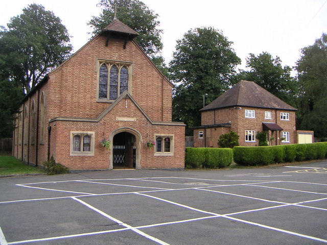
The population of Aspley Heath is relatively small, with around 500 residents. The community is close-knit and has a strong sense of local identity. There are a few amenities in the area, including a village hall, a primary school, and a pub.
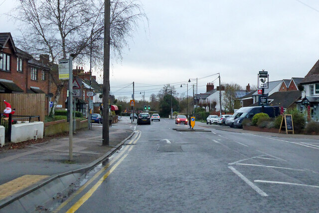
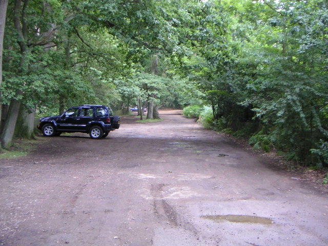
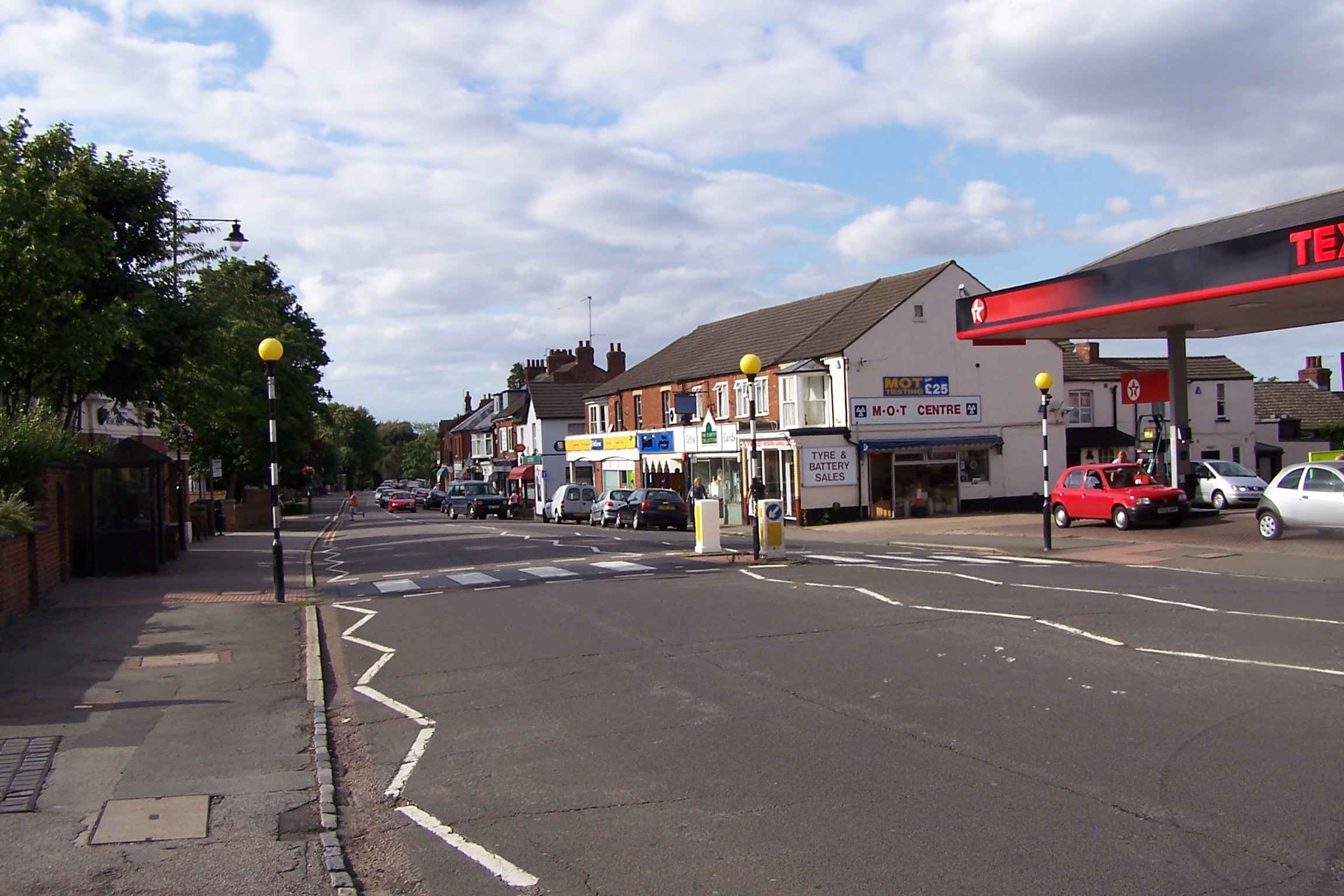
The parish is well-connected to nearby towns and cities. The A5130 road runs through Aspley Heath, providing easy access to Milton Keynes and the M1 motorway. The nearest railway station is Woburn Sands, which offers regular services to London and other major cities.
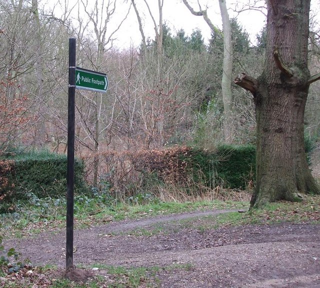
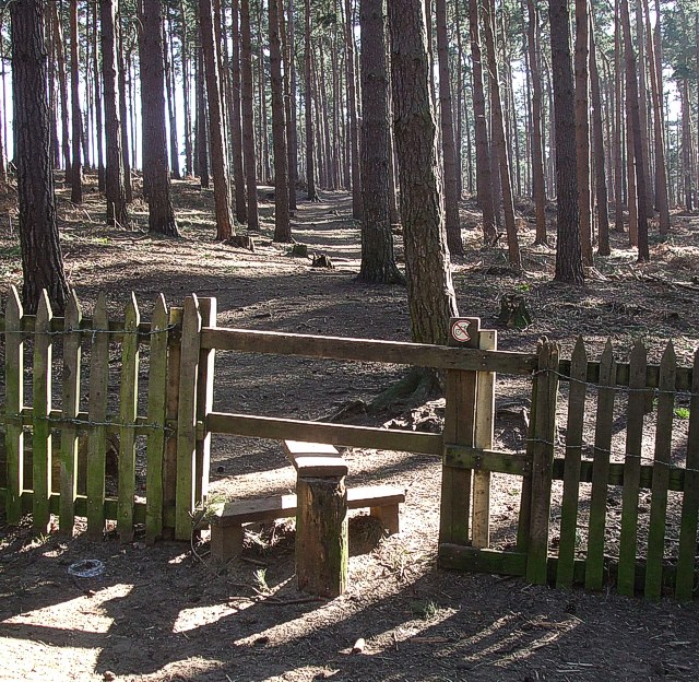
Aspley Heath is known for its natural beauty and tranquility. It is a popular destination for outdoor activities such as walking, cycling, and horse riding. The surrounding countryside offers numerous footpaths and bridleways, allowing visitors to explore the area's picturesque landscapes.
If you have any feedback on the listing, please let us know in the comments section below.
Aspley Heath Images
Images are sourced within 2km of 51.999917/-0.648484 or Grid Reference SP9234. Thanks to Geograph Open Source API. All images are credited.

Aspley Heath is located at Grid Ref: SP9234 (Lat: 51.999917, Lng: -0.648484)
Unitary Authority: Central Bedfordshire
Police Authority: Bedfordshire
What 3 Words
///dissolves.replenish.crumples. Near Aspley Guise, Bedfordshire
Nearby Locations
Related Wikis
Wavendon Heath Ponds
Wavendon Heath Ponds is a 4.7-hectare (12-acre) biological Site of Special Scientific Interest in Aspley Heath in Bedfordshire. It was notified in 1986...

Aspley Heath
Aspley Heath is a village and civil parish in the Central Bedfordshire district of Bedfordshire, England, elevated and small in population and area, mostly...
2016 Women's British Open
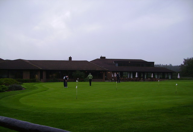
The 2016 Ricoh Women's British Open was played 28–31 July in England at the Woburn Golf and Country Club near Milton Keynes, Buckinghamshire, northwest...
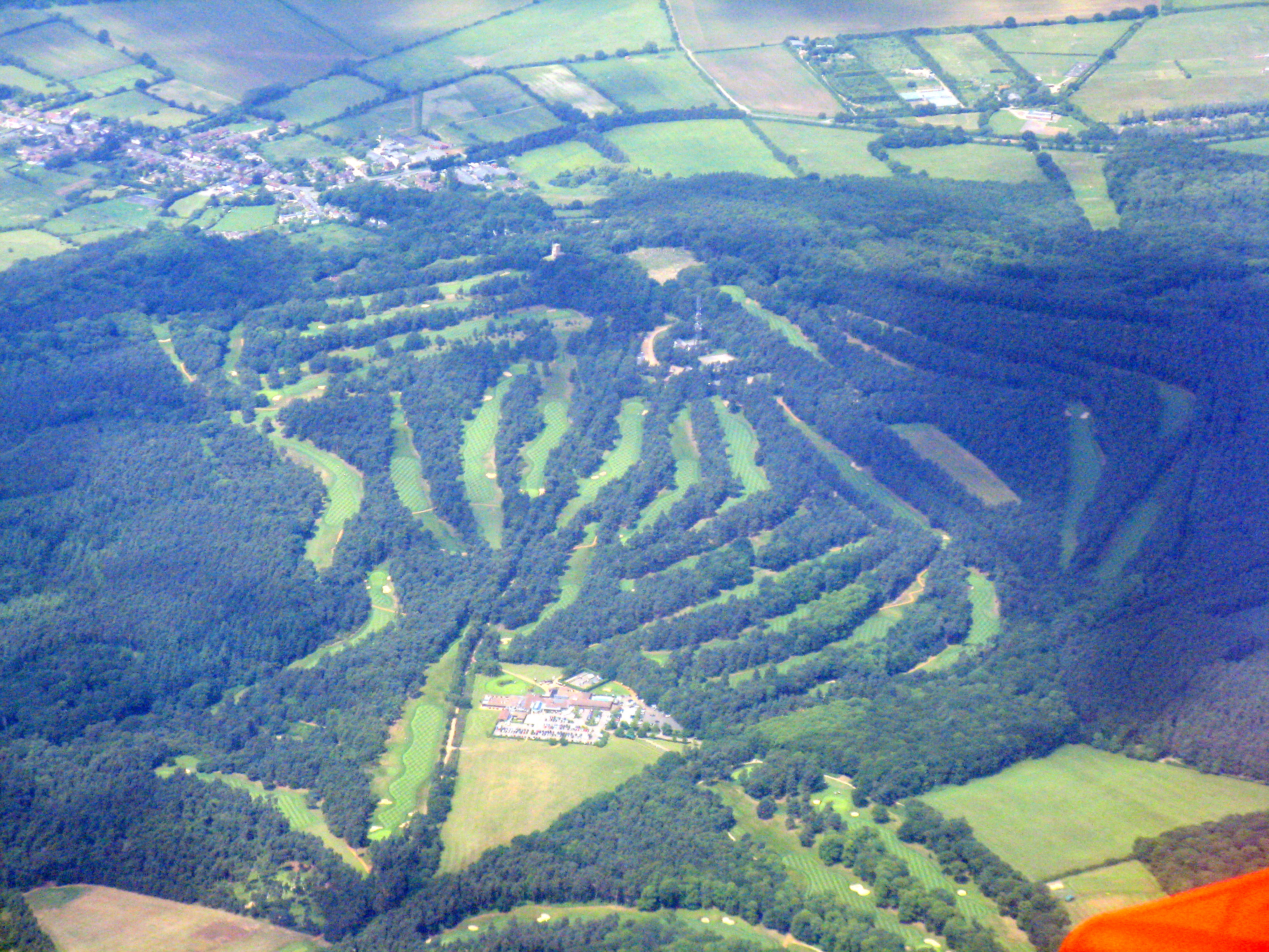
Woburn Golf and Country Club
Woburn Golf Club is a golf club in England located in Little Brickhill, near Milton Keynes within the county of Bedfordshire, about fifty miles (80 km...
2019 Women's British Open
The 2019 AIG Women's British Open was played from 1–4 August in England at Woburn Golf Club in Milton Keynes, Buckinghamshire, fifty miles (80 km) northwest...
Woburn Sands
Woburn Sands () is a town that straddles the border between Buckinghamshire and Bedfordshire in England, and also is part of the Milton Keynes urban area...

All Saints Church, Bow Brickhill
All Saints’ Church, Bow Brickhill is a Grade II* listed parish church in the Church of England in Bow Brickhill, Buckinghamshire, to the south-east of...
Aspley Guise & Woburn Sands Golf Club
Aspley Guise & Woburn Sands Golf Club is a golf club in Bedfordshire, England, situated between the village of Aspley Guise and the town of Woburn Sands...
Nearby Amenities
Located within 500m of 51.999917,-0.648484Have you been to Aspley Heath?
Leave your review of Aspley Heath below (or comments, questions and feedback).