Aspley Guise
Civil Parish in Bedfordshire
England
Aspley Guise
Aspley Guise is a civil parish located in the county of Bedfordshire, England. It is situated approximately 8 miles south-east of the town of Milton Keynes and about 13 miles west of the city of Bedford. The parish encompasses an area of about 2.5 square miles.
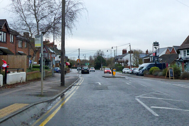
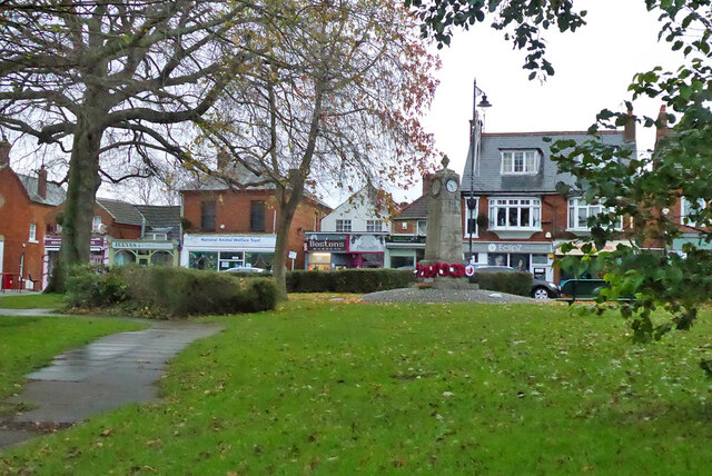
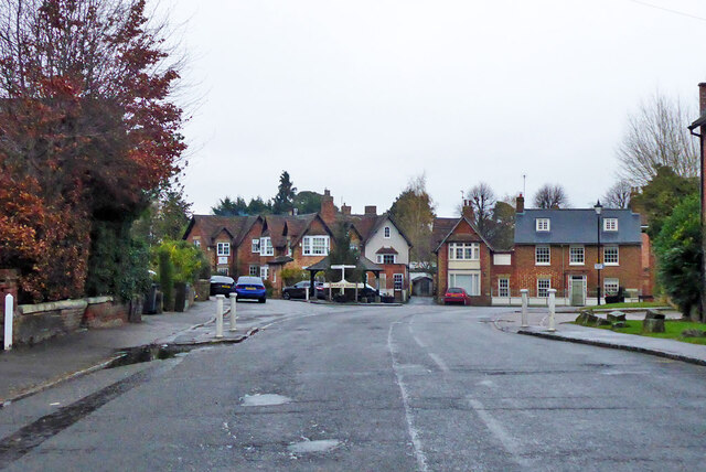
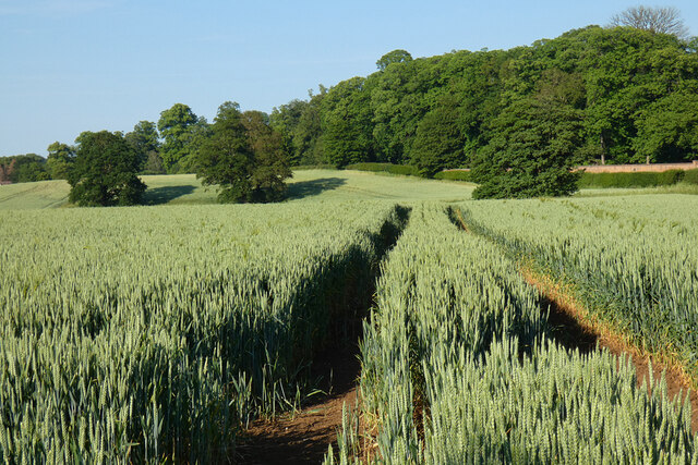
The village of Aspley Guise is known for its picturesque setting and historical charm. It is surrounded by beautiful countryside, including parts of the Aspley Woods and Woburn Sands, making it an attractive destination for nature lovers and outdoor enthusiasts. The village itself has a population of around 2,500 people.
Aspley Guise has a rich history dating back to medieval times, and there are several notable historical landmarks within the parish. One of the most prominent is the Grade I listed St. Botolph's Church, which dates back to the 13th century. The church features fine architectural details and is known for its stained glass windows.
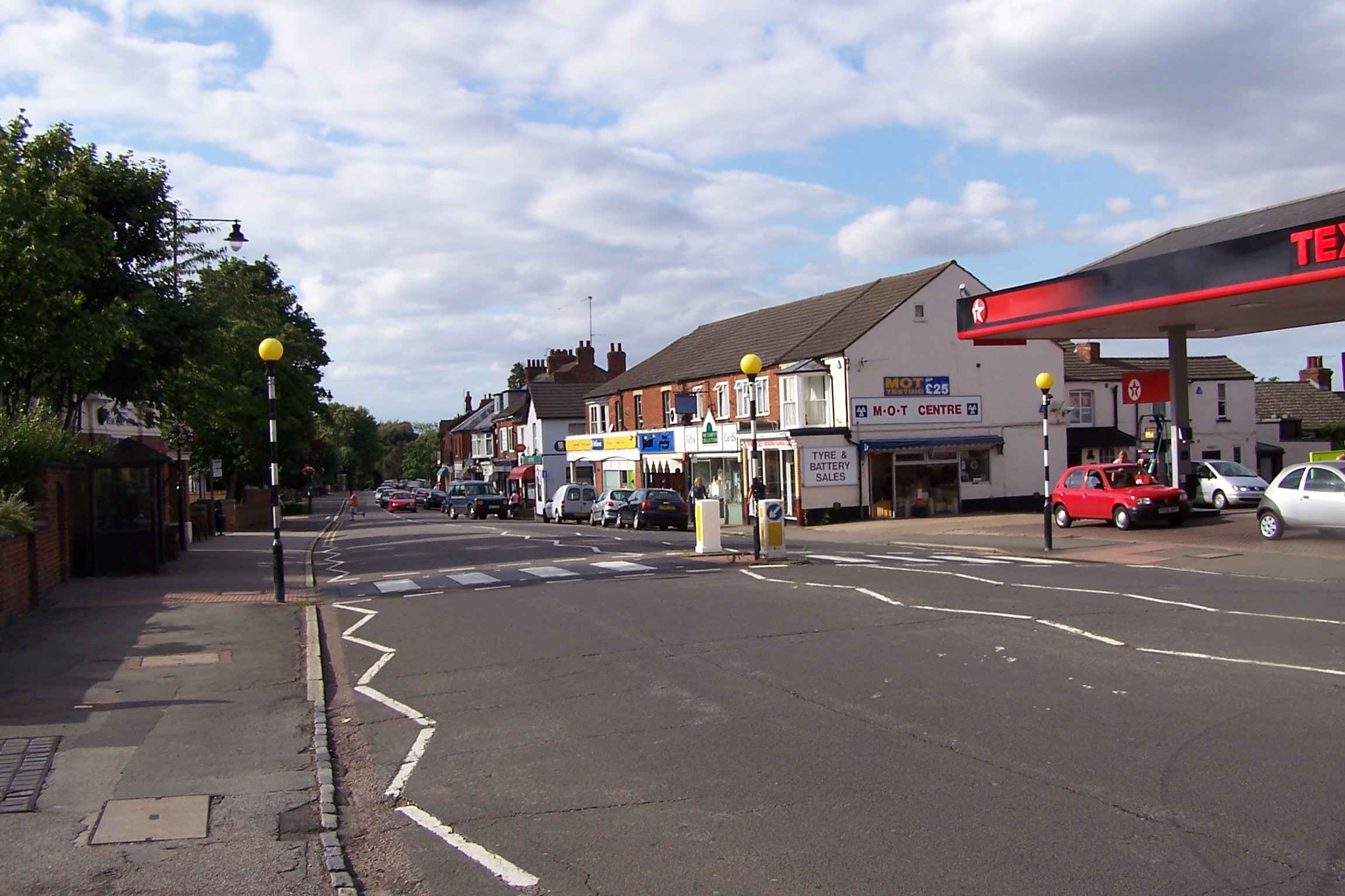
The village also offers a range of amenities and facilities for its residents. These include a primary school, a village hall, a post office, and a variety of local shops and businesses. There are also several pubs and restaurants, providing options for dining and socializing.
Overall, Aspley Guise is a vibrant and picturesque civil parish, with a rich history, beautiful surroundings, and a strong sense of community. It attracts both residents and visitors alike, offering a peaceful and idyllic setting in the heart of Bedfordshire.
If you have any feedback on the listing, please let us know in the comments section below.
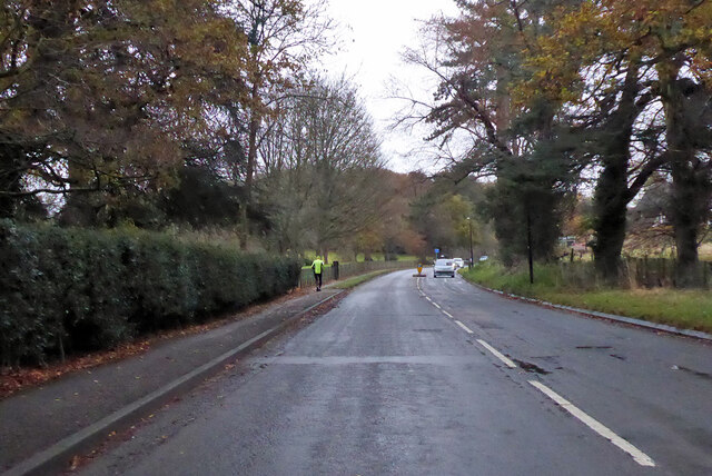
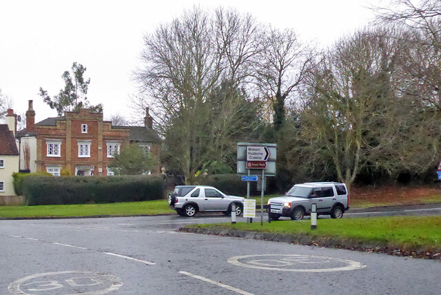
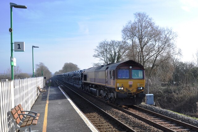
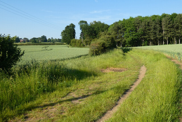
Aspley Guise Images
Images are sourced within 2km of 52.017163/-0.630594 or Grid Reference SP9436. Thanks to Geograph Open Source API. All images are credited.


Aspley Guise is located at Grid Ref: SP9436 (Lat: 52.017163, Lng: -0.630594)
Unitary Authority: Central Bedfordshire
Police Authority: Bedfordshire
What 3 Words
///elevate.cork.provide. Near Aspley Guise, Bedfordshire
Nearby Locations
Related Wikis

Aspley House
Aspley House is a Grade II* listed 17th-century country house near Aspley Guise in Bedfordshire, England. == References ==

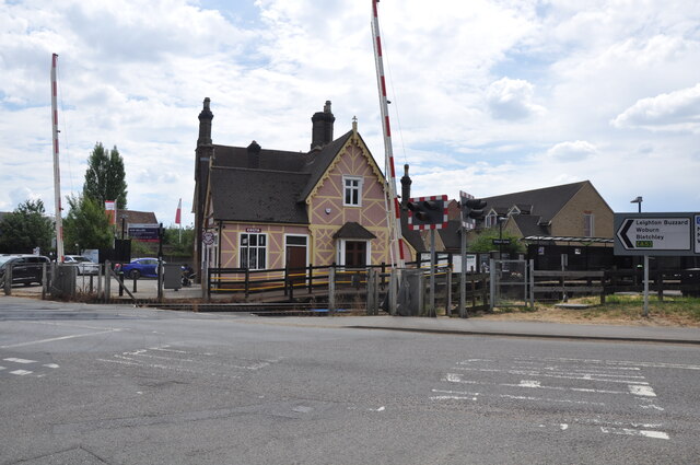
Aspley Guise railway station
Aspley Guise railway station serves the village of Aspley Guise in Bedfordshire, England. It is on the Bletchley – Bedford Marston Vale Line. The station...

Aspley Guise
Aspley Guise is a village and civil parish in the west of Central Bedfordshire, England. In addition to the village of Aspley Guise itself, the civil parish...
Aspley Guise & Woburn Sands Golf Club
Aspley Guise & Woburn Sands Golf Club is a golf club in Bedfordshire, England, situated between the village of Aspley Guise and the town of Woburn Sands...

Marston Vale line
The Marston Vale line is the line between Bletchley and Bedford in England, a surviving remnant of the former Varsity line between Oxford and Cambridge...
Woburn Sands
Woburn Sands () is a town that straddles the border between Buckinghamshire and Bedfordshire in England, and also is part of the Milton Keynes urban area...
Aspley Heath
Aspley Heath is a village and civil parish in the Central Bedfordshire district of Bedfordshire, England, elevated and small in population and area, mostly...

Woburn Sands railway station
Woburn Sands railway station serves the town of Woburn Sands and the village of Wavendon in the City of Milton Keynes in Buckinghamshire, England. The...
Nearby Amenities
Located within 500m of 52.017163,-0.630594Have you been to Aspley Guise?
Leave your review of Aspley Guise below (or comments, questions and feedback).