Aspenden
Civil Parish in Hertfordshire East Hertfordshire
England
Aspenden
Aspenden is a civil parish located in the county of Hertfordshire, England. It is situated approximately 3 miles northeast of the town of Buntingford and 6 miles west of the market town of Bishop's Stortford. The parish covers an area of around 6.5 square miles and has a population of about 500 residents.
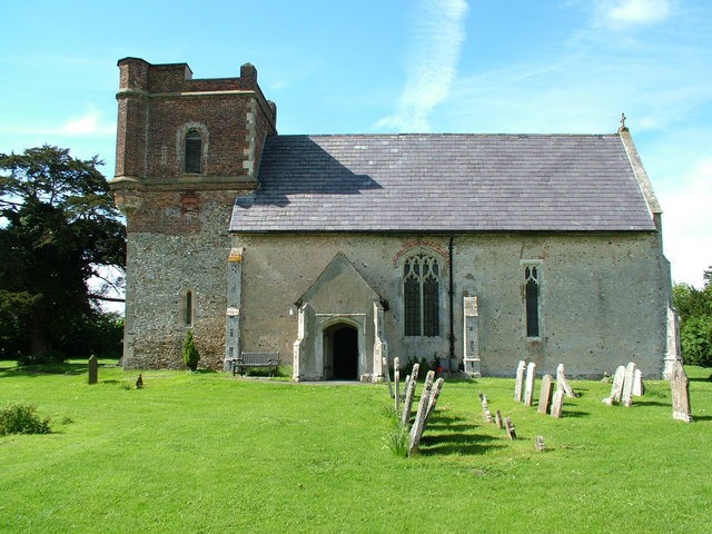
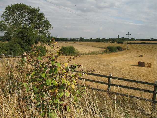
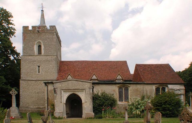
The village of Aspenden is known for its picturesque and idyllic rural setting, surrounded by beautiful countryside and farmland. It is characterized by a mix of charming thatched cottages, historic buildings, and modern houses. The centerpiece of the village is the All Saints Church, a Grade I listed building that dates back to the 12th century.
Despite its small size, Aspenden has a strong sense of community, with several local amenities and organizations that serve the residents. These include a village hall, a primary school, a pub, and a cricket club. The village also hosts various social events throughout the year, such as the annual Aspenden Festival, which showcases local talent and provides entertainment for both residents and visitors.
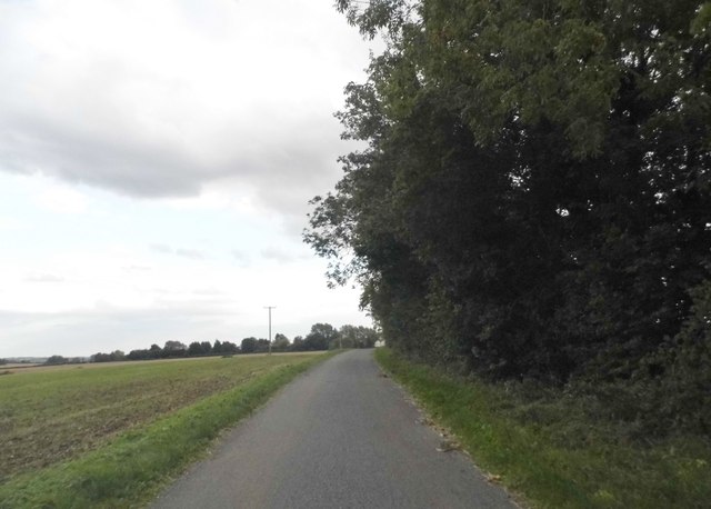
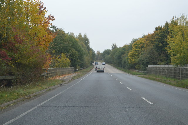
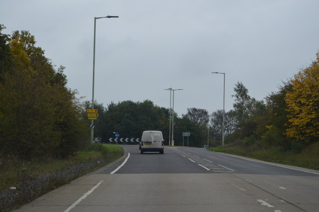
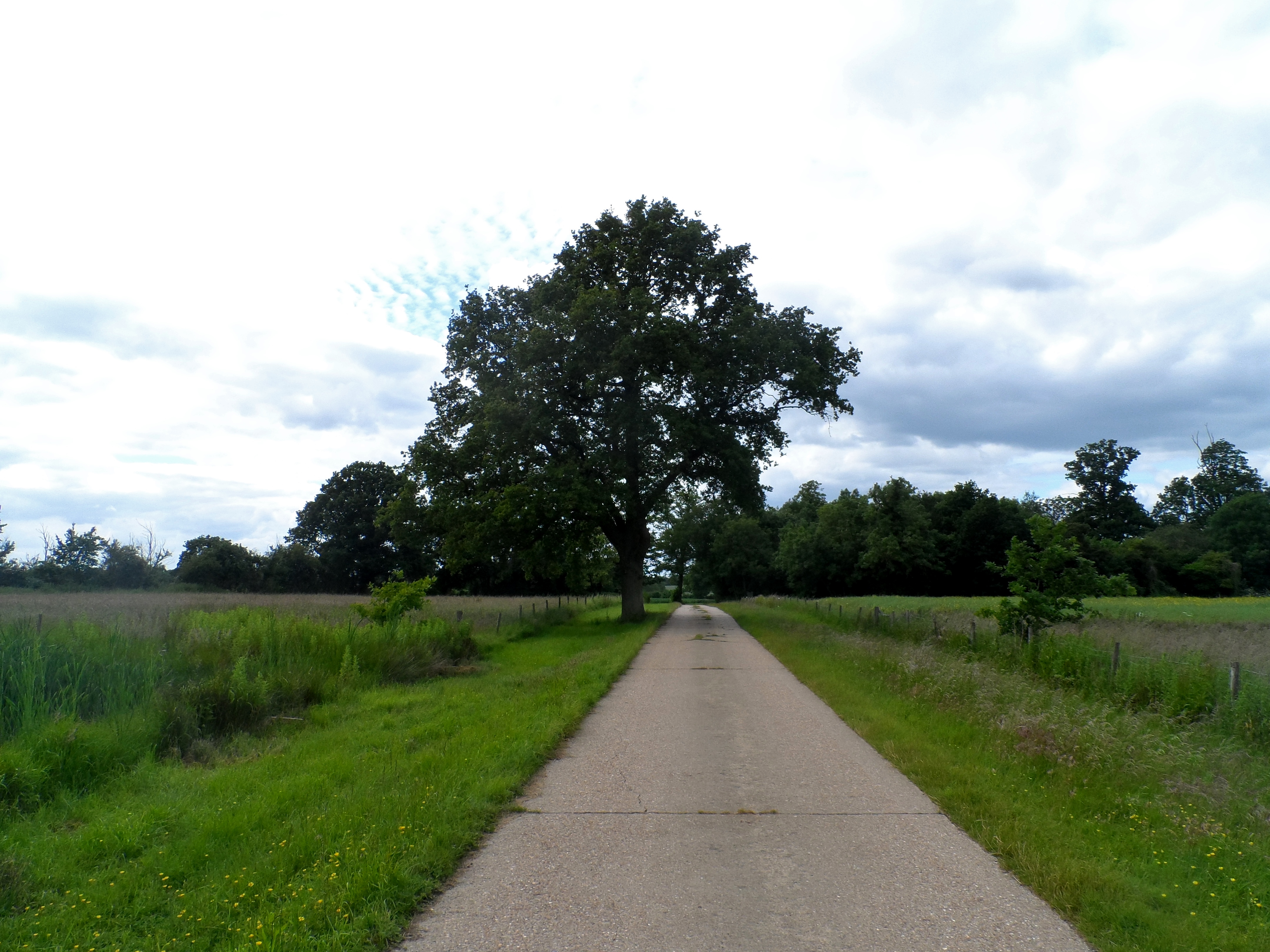
The surrounding area offers plenty of opportunities for outdoor activities and exploration. There are several footpaths and bridleways that crisscross the countryside, allowing for scenic walks and horse riding. Additionally, nearby attractions include the historic market towns of Buntingford and Bishop's Stortford, as well as the beautiful gardens and parkland of Audley End House.
Overall, Aspenden is a charming and peaceful village that offers a close-knit community, stunning natural surroundings, and easy access to nearby amenities and attractions.
If you have any feedback on the listing, please let us know in the comments section below.
Aspenden Images
Images are sourced within 2km of 51.937636/-0.041217 or Grid Reference TL3428. Thanks to Geograph Open Source API. All images are credited.


Aspenden is located at Grid Ref: TL3428 (Lat: 51.937636, Lng: -0.041217)
Administrative County: Hertfordshire
District: East Hertfordshire
Police Authority: Hertfordshire
What 3 Words
///headless.opens.exhaling. Near Buntingford, Hertfordshire
Nearby Locations
Related Wikis
Aspenden
Aspenden is a village and civil parish in the East Hertfordshire district of Hertfordshire, England. It is just to the south of Buntingford. The Prime...
Wakeley, Hertfordshire
Wakeley is a hamlet and former civil parish 14 miles (23 km) from Hertford, now in the parish of Westmill, in the East Hertfordshire district, in the county...

Benson Memorial Church
The Benson Memorial Church, dedicated to St Richard of Chichester, is an English Roman Catholic church in the Hertfordshire town of Buntingford. Its name...

Buntingford railway station
Buntingford railway station is a former station in Buntingford, Hertfordshire, England. It served as the terminus of a branch from the Hertford East Branch...
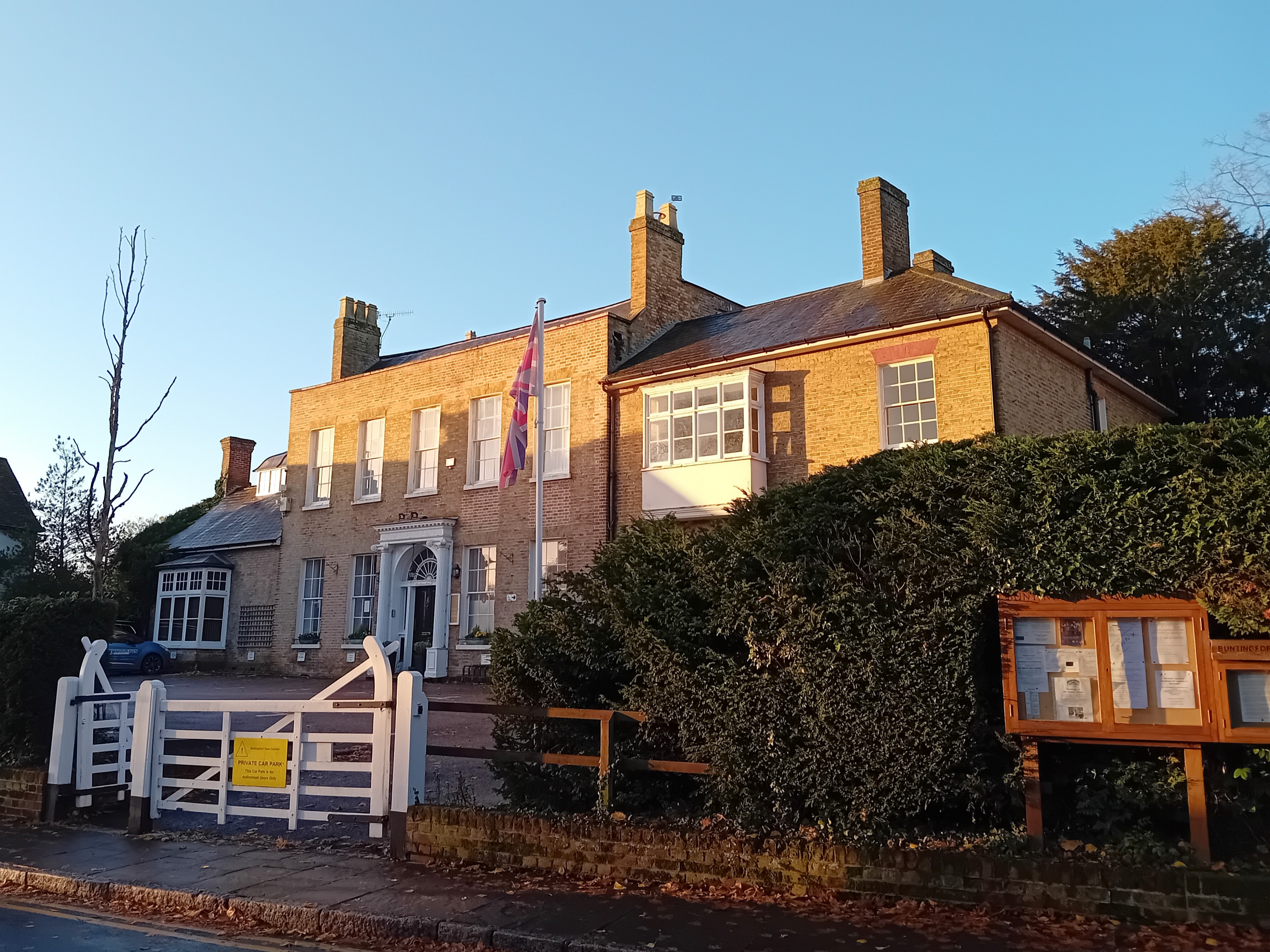
Buntingford Manor House
Buntingford Manor House is an 18th-century building in the town of Buntingford, in Hertfordshire, England. It is a Grade II listed building. == Usage... ==

Freman College
Freman College is an upper school and sixth form with academy status in Buntingford, Hertfordshire, England. It was established as Ward Freman School in...

Buntingford
Buntingford is a market town and civil parish in the district of East Hertfordshire and county of Hertfordshire in England. It lies next to the River Rib...
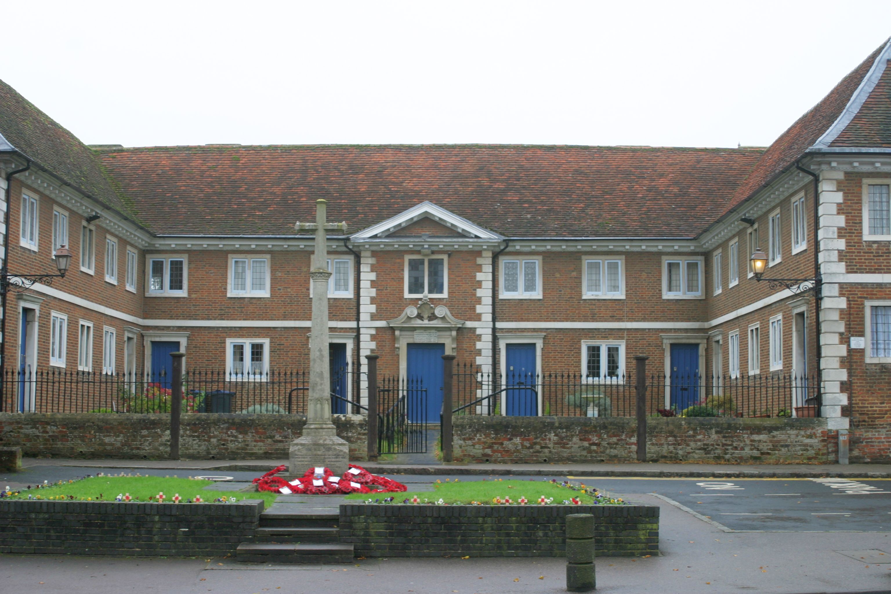
Buntingford almshouses
Buntingford Almshouses is a grade II* listed building on the High street of the Hertfordshire town of Buntingford. The building was erected in 1684 by...
Nearby Amenities
Located within 500m of 51.937636,-0.041217Have you been to Aspenden?
Leave your review of Aspenden below (or comments, questions and feedback).